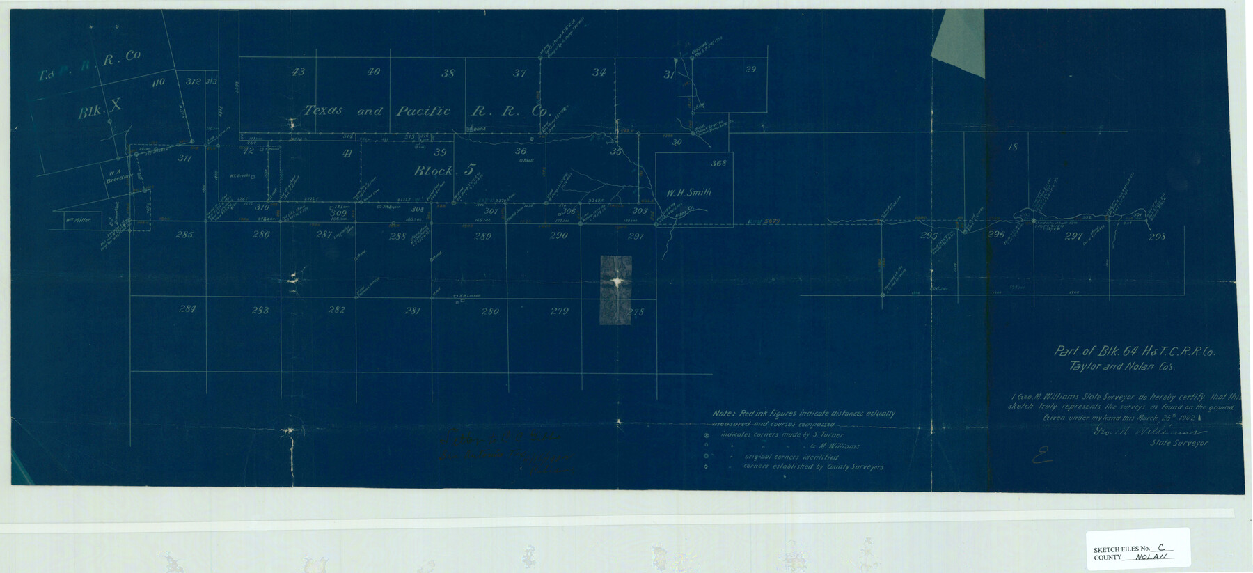
Nolan County Sketch File C
Part of Block 64, H. & T. C. R.R. Co., Taylor and Nolan Cos.
-
Map/Doc
42172
-
Collection
General Map Collection
-
Object Dates
3/26/1902 (Creation Date)
4/16/1902 (File Date)
-
People and Organizations
George M. Williams (Surveyor/Engineer)
-
Counties
Nolan Taylor
-
Subjects
Surveying Sketch File
-
Height x Width
14.4 x 31.5 inches
36.6 x 80.0 cm
-
Medium
blueprint/diazo
-
Features
Dora
Elm Creek
Part of: General Map Collection
Brewster County Working Sketch 2

Print $20.00
- Digital $50.00
Brewster County Working Sketch 2
1907
Size 29.0 x 26.4 inches
Map/Doc 67535
Cherokee County Sketch File 17

Print $6.00
- Digital $50.00
Cherokee County Sketch File 17
1862
Size 11.6 x 7.7 inches
Map/Doc 18156
Mills County Rolled Sketch 1

Print $20.00
- Digital $50.00
Mills County Rolled Sketch 1
Size 29.6 x 30.4 inches
Map/Doc 6779
Hale County Sketch File 9

Print $14.00
- Digital $50.00
Hale County Sketch File 9
1893
Size 6.1 x 2.6 inches
Map/Doc 24730
Map of Location of the Pecos & Northern Texas Railway from Station 7879+36 to Station 8010+08 = 2.48 Miles through Castro County, Texas

Print $20.00
- Digital $50.00
Map of Location of the Pecos & Northern Texas Railway from Station 7879+36 to Station 8010+08 = 2.48 Miles through Castro County, Texas
1898
Size 14.1 x 25.3 inches
Map/Doc 64060
Pecos County Sketch File 69

Print $6.00
- Digital $50.00
Pecos County Sketch File 69
Size 11.1 x 8.8 inches
Map/Doc 33869
Navigation Maps of Gulf Intracoastal Waterway, Port Arthur to Brownsville, Texas

Print $4.00
- Digital $50.00
Navigation Maps of Gulf Intracoastal Waterway, Port Arthur to Brownsville, Texas
1951
Size 16.7 x 21.5 inches
Map/Doc 65418
PSL Field Notes for Blocks C13 and C14 in Jeff Davis and Reeves Counties, Block C17 in Culberson and Reeves Counties, and Blocks C11, C12, C15, C16, C18, C19, C20, and C21 in Reeves County

PSL Field Notes for Blocks C13 and C14 in Jeff Davis and Reeves Counties, Block C17 in Culberson and Reeves Counties, and Blocks C11, C12, C15, C16, C18, C19, C20, and C21 in Reeves County
Map/Doc 81672
Howard County Boundary File 3a

Print $62.00
- Digital $50.00
Howard County Boundary File 3a
Size 3.9 x 8.7 inches
Map/Doc 55155
Reagan County Rolled Sketch 29A

Print $20.00
- Digital $50.00
Reagan County Rolled Sketch 29A
1954
Size 36.4 x 36.3 inches
Map/Doc 9825
Flight Mission No. DIX-7P, Frame 92, Aransas County

Print $20.00
- Digital $50.00
Flight Mission No. DIX-7P, Frame 92, Aransas County
1956
Size 18.7 x 22.4 inches
Map/Doc 83886
Map of San Patricio County

Print $40.00
- Digital $50.00
Map of San Patricio County
1896
Size 31.6 x 51.2 inches
Map/Doc 63018
You may also like
Coleman County Working Sketch 24

Print $40.00
- Digital $50.00
Coleman County Working Sketch 24
1989
Size 43.1 x 54.3 inches
Map/Doc 68277
Navigation Maps of Gulf Intracoastal Waterway, Port Arthur to Brownsville, Texas

Print $4.00
- Digital $50.00
Navigation Maps of Gulf Intracoastal Waterway, Port Arthur to Brownsville, Texas
1951
Size 16.6 x 21.5 inches
Map/Doc 65436
Flight Mission No. BRA-16M, Frame 65, Jefferson County

Print $20.00
- Digital $50.00
Flight Mission No. BRA-16M, Frame 65, Jefferson County
1953
Size 18.7 x 22.4 inches
Map/Doc 85682
El Paso County Rolled Sketch 37

Print $40.00
- Digital $50.00
El Paso County Rolled Sketch 37
1916
Size 42.8 x 77.0 inches
Map/Doc 76181
Webb County Working Sketch 34

Print $20.00
- Digital $50.00
Webb County Working Sketch 34
1938
Size 23.8 x 24.3 inches
Map/Doc 72399
Hudspeth County Rolled Sketch 69

Print $20.00
- Digital $50.00
Hudspeth County Rolled Sketch 69
1973
Size 12.3 x 19.8 inches
Map/Doc 7719
Lee County Sketch File 9

Print $4.00
- Digital $50.00
Lee County Sketch File 9
Size 8.8 x 8.2 inches
Map/Doc 29709
Coke County Rolled Sketch 18

Print $20.00
- Digital $50.00
Coke County Rolled Sketch 18
Size 43.4 x 34.4 inches
Map/Doc 8632
Hamilton Dam, Reservoir Clearing

Print $4.00
- Digital $50.00
Hamilton Dam, Reservoir Clearing
1936
Size 10.5 x 28.9 inches
Map/Doc 2096
Duval County Sketch File 8d

Print $4.00
- Digital $50.00
Duval County Sketch File 8d
1869
Size 10.8 x 8.9 inches
Map/Doc 21302
Flight Mission No. DAH-17M, Frame 61, Orange County

Print $20.00
- Digital $50.00
Flight Mission No. DAH-17M, Frame 61, Orange County
1953
Size 18.6 x 22.5 inches
Map/Doc 86895
Frio County Working Sketch 19

Print $20.00
- Digital $50.00
Frio County Working Sketch 19
1982
Size 36.5 x 34.4 inches
Map/Doc 69293