[Map of Tom Green County]
-
Map/Doc
4085
-
Collection
General Map Collection
-
Counties
Tom Green
-
Subjects
County
-
Height x Width
23.9 x 36.5 inches
60.7 x 92.7 cm
-
Features
Middle Concho River
South Concho River
Corvine Peak
Annie's Creek
G[e]raud's Creek
Erica Creek
Catalan Creek
Dove Creek
Blanche Creek
Burkes Creek South
Good Spring Creek
Leah Creek
Squaw Creek
Cavalry Creek
Cottonwood Creek
Twin Mountains
Sterling's Creek
Carroll's Creek
Mayor's Creek
Adam's Creek
Lone Tree Mountain
Fort Concho
Concho River
Camp Creek
North Concho River
Vineyard Creek
Bald Eagle Creek
Round Mountain
Tom Jeff's Creek
Crownest Creek
Oath Creek
Part of: General Map Collection
McMullen County Working Sketch 46

Print $20.00
- Digital $50.00
McMullen County Working Sketch 46
1982
Size 35.2 x 22.0 inches
Map/Doc 70747
Blanco County Rolled Sketch 16


Print $20.00
- Digital $50.00
Blanco County Rolled Sketch 16
Size 18.8 x 19.4 inches
Map/Doc 5152
Presidio County Working Sketch 136

Print $20.00
- Digital $50.00
Presidio County Working Sketch 136
1990
Size 33.7 x 46.8 inches
Map/Doc 71814
Tarrant County State Real Property Sketch 1


Print $60.00
- Digital $50.00
Tarrant County State Real Property Sketch 1
2007
Size 24.5 x 35.3 inches
Map/Doc 88666
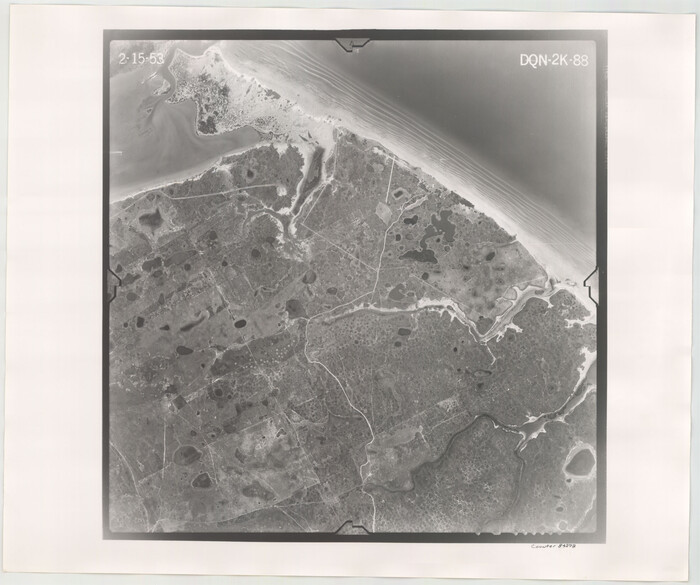
Flight Mission No. DQN-2K, Frame 88, Calhoun County

Print $20.00
- Digital $50.00
Flight Mission No. DQN-2K, Frame 88, Calhoun County
1953
Size 18.6 x 22.3 inches
Map/Doc 84278
Hays County Working Sketch 23


Print $20.00
- Digital $50.00
Hays County Working Sketch 23
2011
Size 30.5 x 29.2 inches
Map/Doc 90090
Aransas County Boundary File 4


Print $30.00
- Digital $50.00
Aransas County Boundary File 4
Size 9.2 x 7.8 inches
Map/Doc 49790
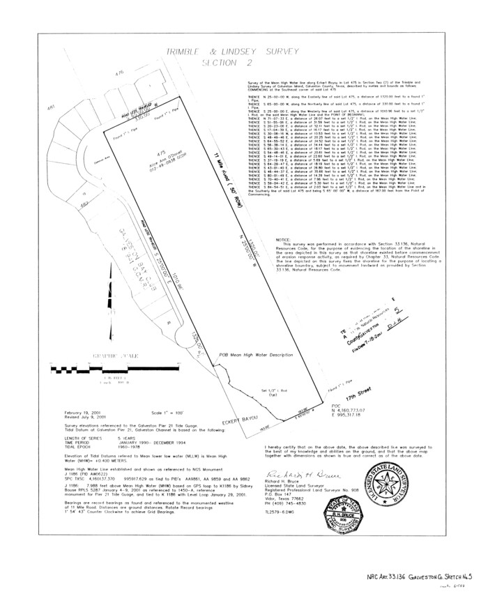
Galveston County NRC Article 33.136 Sketch 5

Print $20.00
- Digital $50.00
Galveston County NRC Article 33.136 Sketch 5
2001
Size 23.5 x 19.1 inches
Map/Doc 61587
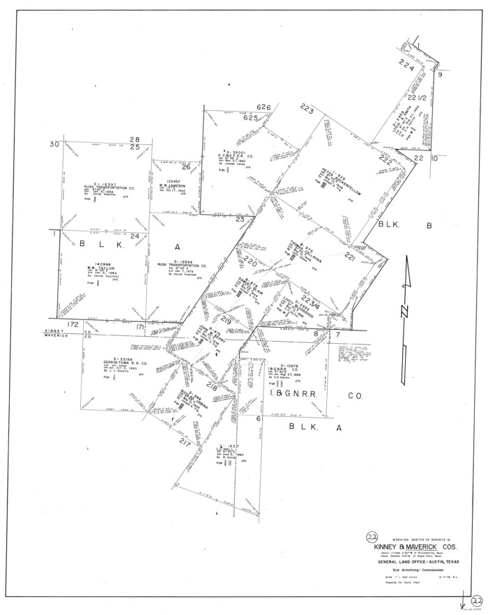
Maverick County Working Sketch 22

Print $20.00
- Digital $50.00
Maverick County Working Sketch 22
1978
Size 44.0 x 34.9 inches
Map/Doc 70914
Cottle County Working Sketch 24


Print $20.00
- Digital $50.00
Cottle County Working Sketch 24
2014
Size 10.6 x 18.3 inches
Map/Doc 93707
You may also like
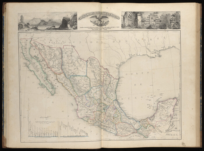
Carta General de la Republica Mexicana

Print $20.00
- Digital $50.00
Carta General de la Republica Mexicana
Size 23.1 x 31.1 inches
Map/Doc 96983
Briscoe County Sketch File 2
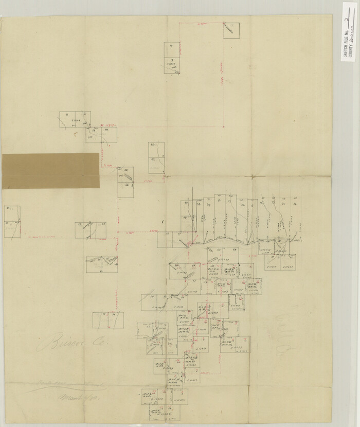

Print $40.00
- Digital $50.00
Briscoe County Sketch File 2
1880
Size 18.3 x 15.4 inches
Map/Doc 10991
Flight Mission No. BRA-7M, Frame 181, Jefferson County


Print $20.00
- Digital $50.00
Flight Mission No. BRA-7M, Frame 181, Jefferson County
1953
Size 18.6 x 22.4 inches
Map/Doc 85549
Lynn County Boundary File 13


Print $40.00
- Digital $50.00
Lynn County Boundary File 13
Size 36.1 x 8.2 inches
Map/Doc 56752
Lipscomb County Boundary File 11
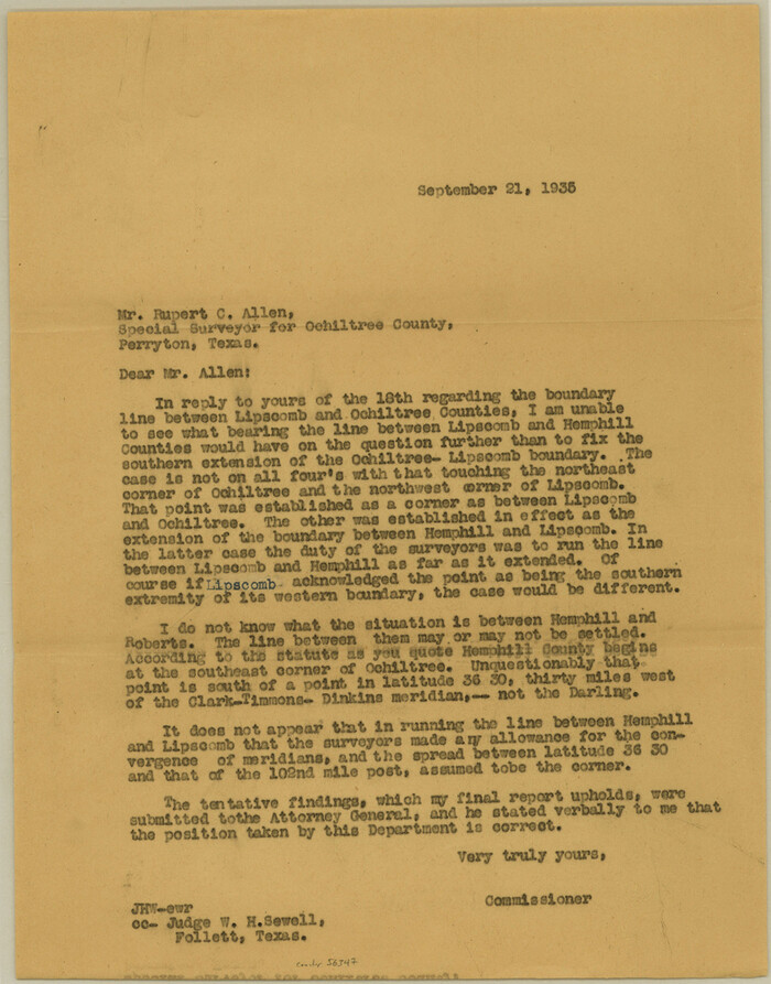

Print $8.00
- Digital $50.00
Lipscomb County Boundary File 11
Size 11.1 x 8.7 inches
Map/Doc 56347
[Sketch in Hartley County]
![90770, [Sketch in Hartley County], Twichell Survey Records](https://historictexasmaps.com/wmedia_w700/maps/90770-1.tif.jpg)
![90770, [Sketch in Hartley County], Twichell Survey Records](https://historictexasmaps.com/wmedia_w700/maps/90770-1.tif.jpg)
Print $20.00
- Digital $50.00
[Sketch in Hartley County]
Size 29.1 x 21.7 inches
Map/Doc 90770
Ochiltree County
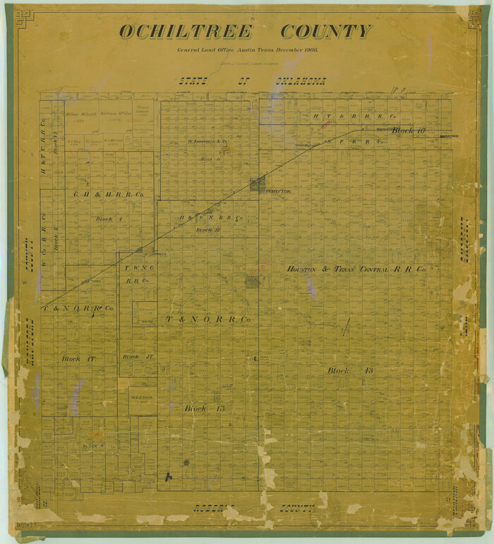

Print $20.00
- Digital $50.00
Ochiltree County
1908
Size 40.9 x 37.1 inches
Map/Doc 16782
Chambers County Working Sketch 27
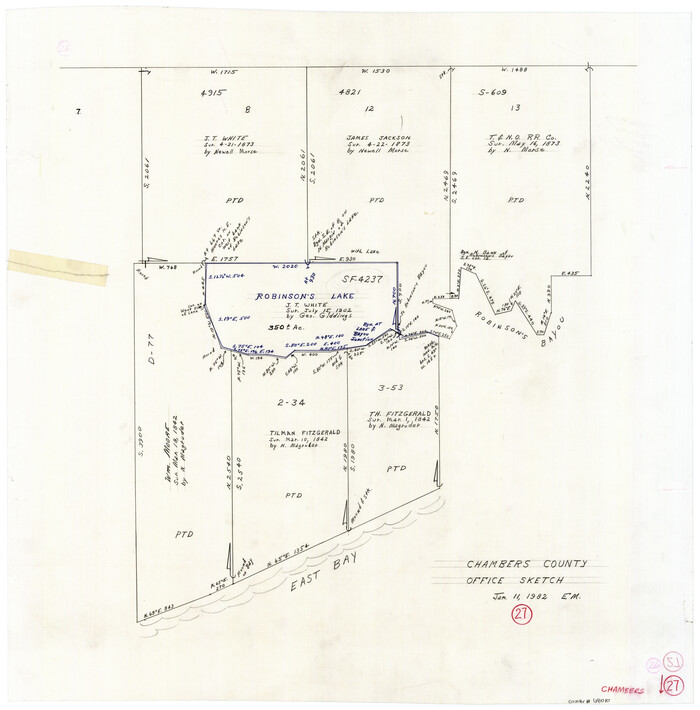

Print $20.00
- Digital $50.00
Chambers County Working Sketch 27
1982
Size 24.9 x 25.2 inches
Map/Doc 68010
Swisher County Boundary File 1


Print $72.00
- Digital $50.00
Swisher County Boundary File 1
Size 9.0 x 4.5 inches
Map/Doc 59075
Real County Working Sketch 46


Print $20.00
- Digital $50.00
Real County Working Sketch 46
1956
Size 21.2 x 18.9 inches
Map/Doc 71938
Flight Mission No. CUG-3P, Frame 189, Kleberg County
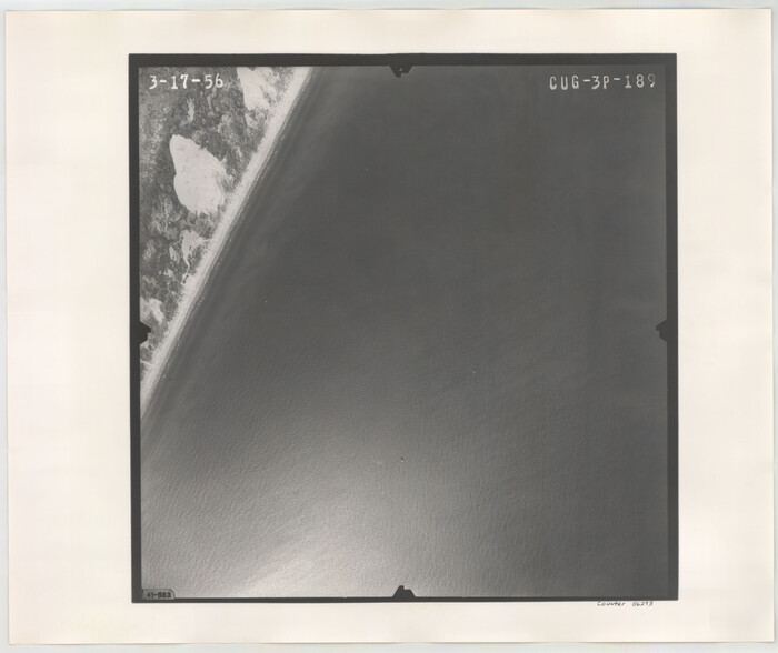

Print $20.00
- Digital $50.00
Flight Mission No. CUG-3P, Frame 189, Kleberg County
1956
Size 18.6 x 22.2 inches
Map/Doc 86293
Harris County Working Sketch Graphic Index, Sheet 1 (Sketches 1 to 68)
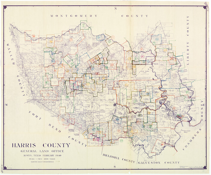

Print $20.00
- Digital $50.00
Harris County Working Sketch Graphic Index, Sheet 1 (Sketches 1 to 68)
1940
Size 38.4 x 46.1 inches
Map/Doc 76568
![4085, [Map of Tom Green County], General Map Collection](https://historictexasmaps.com/wmedia_w1800h1800/maps/4085-2.tif.jpg)
