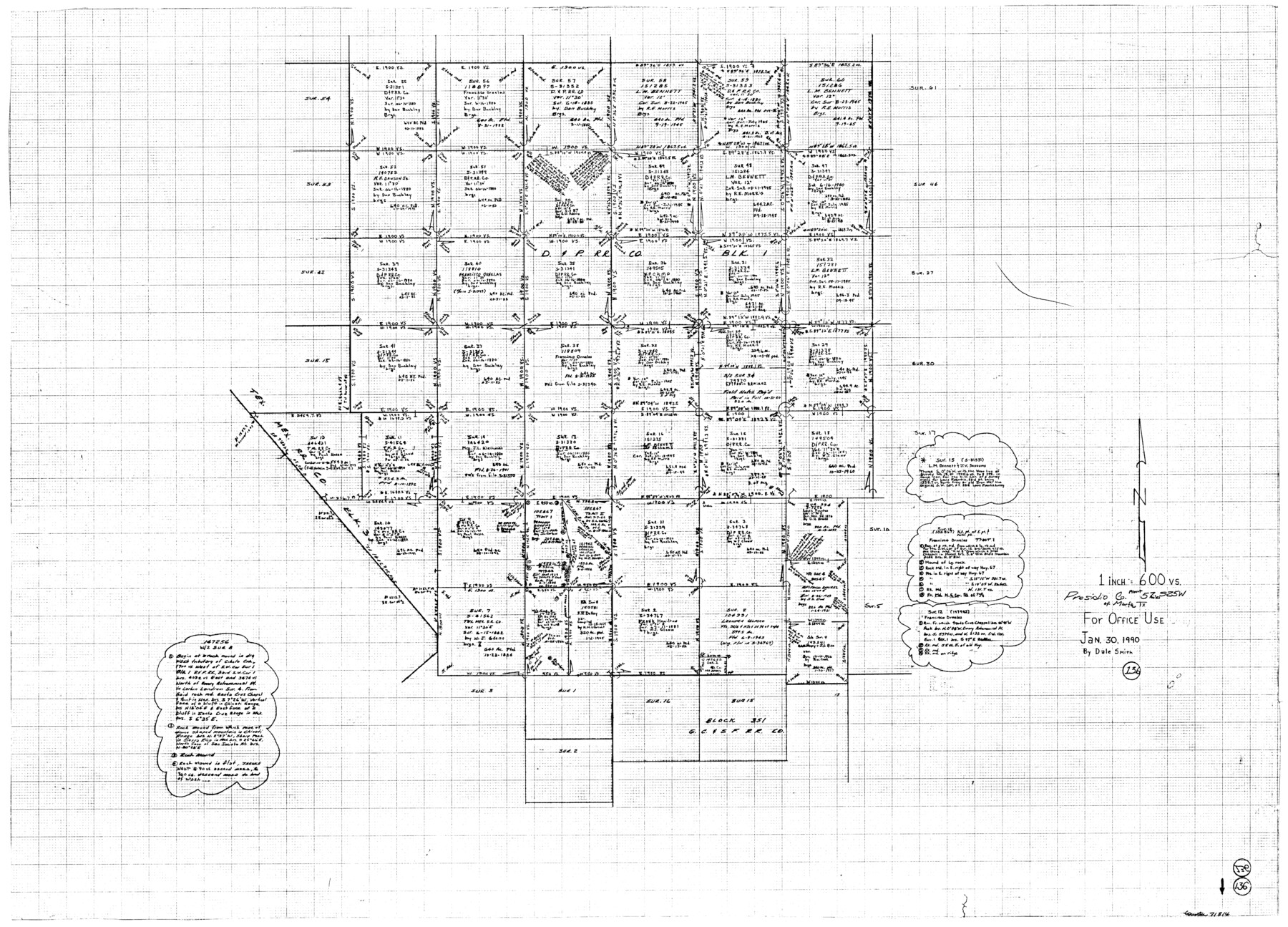
Presidio County Working Sketch 136
-
Map/Doc
71814
-
Collection
General Map Collection
-
Object Dates
1/30/1990 (Creation Date)
-
People and Organizations
Smith, Dale (Draftsman)
-
Counties
Presidio
-
Subjects
Surveying Working Sketch
-
Height x Width
33.7 x 46.8 inches
85.6 x 118.9 cm
-
Scale
1" = 600 varas
Part of: General Map Collection
Montague County Working Sketch 6

Print $20.00
- Digital $50.00
Montague County Working Sketch 6
1923
Size 16.9 x 27.2 inches
Map/Doc 71072

Liberty County Working Sketch 72

Print $20.00
- Digital $50.00
Liberty County Working Sketch 72
1977
Size 25.8 x 28.7 inches
Map/Doc 70532
Tyler County Sketch File 9a

Print $4.00
- Digital $50.00
Tyler County Sketch File 9a
1877
Size 8.1 x 7.7 inches
Map/Doc 38646
Flight Mission No. BQR-20K, Frame 9, Brazoria County

Print $20.00
- Digital $50.00
Flight Mission No. BQR-20K, Frame 9, Brazoria County
1952
Size 18.6 x 22.4 inches
Map/Doc 84111
El Paso County Boundary File 4

Print $12.00
- Digital $50.00
El Paso County Boundary File 4
Size 13.5 x 8.6 inches
Map/Doc 53038
Fannin County No. 2 McClure & M. H. Wright's map, Sulphur

Print $2.00
- Digital $50.00
Fannin County No. 2 McClure & M. H. Wright's map, Sulphur
1844
Size 8.4 x 8.1 inches
Map/Doc 69732
Dallam County

Print $20.00
- Digital $50.00
Dallam County
1901
Size 42.3 x 52.4 inches
Map/Doc 16953
Maps & Lists Showing Prison Lands (Oil & Gas) Leased as of June 1955

Digital $50.00
Maps & Lists Showing Prison Lands (Oil & Gas) Leased as of June 1955
Size 11.2 x 8.7 inches
Map/Doc 62871
Uvalde County Sketch File 3

Print $4.00
- Digital $50.00
Uvalde County Sketch File 3
1880
Size 9.1 x 15.0 inches
Map/Doc 38949
Presidio County Working Sketch 21

Print $20.00
- Digital $50.00
Presidio County Working Sketch 21
1945
Size 25.4 x 35.9 inches
Map/Doc 71697
Hutchinson County Rolled Sketch 9

Print $20.00
- Digital $50.00
Hutchinson County Rolled Sketch 9
Size 25.5 x 27.8 inches
Map/Doc 6280
You may also like
State of Texas showing the Lower Rio Grande Valley

Print $20.00
- Digital $50.00
State of Texas showing the Lower Rio Grande Valley
1920
Size 14.0 x 13.4 inches
Map/Doc 95802
Matagorda Bay Including Lavaca and Tres Palacios Bays

Print $40.00
- Digital $50.00
Matagorda Bay Including Lavaca and Tres Palacios Bays
1973
Size 37.0 x 48.4 inches
Map/Doc 73363
Trace of a copy of the map captured at the battle of Resaca de la Palma

Print $20.00
- Digital $50.00
Trace of a copy of the map captured at the battle of Resaca de la Palma
Size 18.3 x 27.6 inches
Map/Doc 73053
Angelina County Sketch File 2

Print $2.00
- Digital $50.00
Angelina County Sketch File 2
Size 8.6 x 6.0 inches
Map/Doc 12921
Montgomery County Sketch File 22

Print $12.00
- Digital $50.00
Montgomery County Sketch File 22
1839
Size 8.8 x 7.6 inches
Map/Doc 31860

Webb County Working Sketch 94

Print $20.00
- Digital $50.00
Webb County Working Sketch 94
1989
Size 23.1 x 25.6 inches
Map/Doc 72461
Zavala County Sketch File A1

Print $31.00
- Digital $50.00
Zavala County Sketch File A1
1899
Size 23.5 x 28.6 inches
Map/Doc 12735
El Paso County Sketch File 39

Print $27.00
- Digital $50.00
El Paso County Sketch File 39
1922
Size 13.9 x 8.8 inches
Map/Doc 22225
[St. L. S-W. Ry. of Texas Map of Lufkin Branch in Cherokee County Texas]
![64017, [St. L. S-W. Ry. of Texas Map of Lufkin Branch in Cherokee County Texas], General Map Collection](https://historictexasmaps.com/wmedia_w700/maps/64017.tif.jpg)
Print $40.00
- Digital $50.00
[St. L. S-W. Ry. of Texas Map of Lufkin Branch in Cherokee County Texas]
1912
Size 22.8 x 121.4 inches
Map/Doc 64017
Flight Mission No. CGI-3N, Frame 136, Cameron County

Print $20.00
- Digital $50.00
Flight Mission No. CGI-3N, Frame 136, Cameron County
1954
Size 18.6 x 22.3 inches
Map/Doc 84609
The Republic County of Fayette. Spring 1842

Print $20.00
The Republic County of Fayette. Spring 1842
2020
Size 14.7 x 21.7 inches
Map/Doc 96135