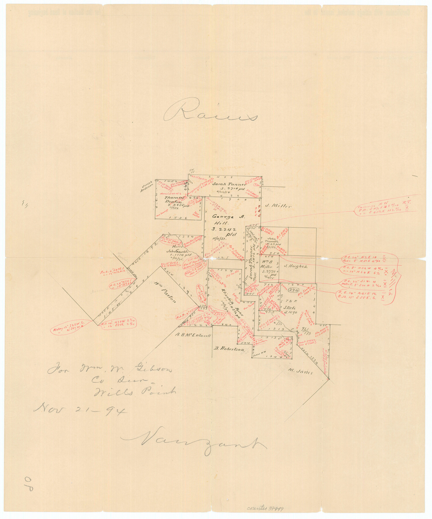
Van Zandt County Sketch File 27a
[Sketch of surveys on both sides of the Sabine River north of Canton]
-
Map/Doc
39449
-
Collection
General Map Collection
-
Object Dates
11/21/1894 (Creation Date)
-
Counties
Van Zandt Rains
-
Subjects
Surveying Sketch File
-
Height x Width
17.4 x 14.5 inches
44.2 x 36.8 cm
-
Medium
paper, manuscript
Part of: General Map Collection
Wharton County Working Sketch 1

Print $20.00
- Digital $50.00
Wharton County Working Sketch 1
Size 23.3 x 21.4 inches
Map/Doc 72465
Newton County Sketch File 14

Print $6.00
- Digital $50.00
Newton County Sketch File 14
Size 16.4 x 10.2 inches
Map/Doc 32388
Blanco County Boundary File 7

Print $58.00
- Digital $50.00
Blanco County Boundary File 7
Size 14.3 x 8.5 inches
Map/Doc 50565
Map of Cameron County

Print $20.00
- Digital $50.00
Map of Cameron County
1873
Size 42.9 x 24.3 inches
Map/Doc 66744
Stephens County Working Sketch 23

Print $20.00
- Digital $50.00
Stephens County Working Sketch 23
1975
Size 31.0 x 38.8 inches
Map/Doc 63966
Sutton County Sketch File 14

Print $20.00
- Digital $50.00
Sutton County Sketch File 14
1924
Size 17.8 x 20.0 inches
Map/Doc 12380
Louisiana and Texas Intracoastal Waterway Proposed Extension to Rio Grande Valley

Print $20.00
- Digital $50.00
Louisiana and Texas Intracoastal Waterway Proposed Extension to Rio Grande Valley
1941
Size 28.0 x 41.3 inches
Map/Doc 61892
Nueces County Rolled Sketch 66

Print $46.00
- Digital $50.00
Nueces County Rolled Sketch 66
1979
Size 26.1 x 37.4 inches
Map/Doc 9608
Sabine Bank to East Bay including Heald Bank

Print $20.00
- Digital $50.00
Sabine Bank to East Bay including Heald Bank
1982
Size 44.8 x 34.3 inches
Map/Doc 69852
Knox County Rolled Sketch 9

Print $20.00
- Digital $50.00
Knox County Rolled Sketch 9
Size 26.1 x 33.0 inches
Map/Doc 9407
Texas, San Bernard River, Cedar Lakes

Print $40.00
- Digital $50.00
Texas, San Bernard River, Cedar Lakes
1933
Size 26.7 x 48.6 inches
Map/Doc 69993
Flight Mission No. BRE-2P, Frame 36, Nueces County

Print $20.00
- Digital $50.00
Flight Mission No. BRE-2P, Frame 36, Nueces County
1956
Size 18.5 x 22.7 inches
Map/Doc 86738
You may also like
Eastland County Rolled Sketch 20

Print $20.00
- Digital $50.00
Eastland County Rolled Sketch 20
1982
Size 43.5 x 38.4 inches
Map/Doc 8826
Bird's Eye View of the City of Dallas, Texas

Print $20.00
Bird's Eye View of the City of Dallas, Texas
1872
Size 18.6 x 25.6 inches
Map/Doc 89080
Part of Garza, Crosby, Lynn, and Lubbock Counties

Print $20.00
- Digital $50.00
Part of Garza, Crosby, Lynn, and Lubbock Counties
1912
Size 25.3 x 20.0 inches
Map/Doc 91312
Map of the Lands Surveyed by the Memphis, El Paso & Pacific R.R. Company

Print $20.00
- Digital $50.00
Map of the Lands Surveyed by the Memphis, El Paso & Pacific R.R. Company
1860
Size 17.7 x 21.7 inches
Map/Doc 4851
Flight Mission No. CRC-3R, Frame 206, Chambers County

Print $20.00
- Digital $50.00
Flight Mission No. CRC-3R, Frame 206, Chambers County
1956
Size 18.5 x 22.2 inches
Map/Doc 84861
Fort Bend County Working Sketch 12

Print $40.00
- Digital $50.00
Fort Bend County Working Sketch 12
1940
Size 29.9 x 73.2 inches
Map/Doc 69219
El Paso County Working Sketch 36

Print $20.00
- Digital $50.00
El Paso County Working Sketch 36
1983
Size 34.0 x 40.3 inches
Map/Doc 69058
Harris County Working Sketch 83

Print $20.00
- Digital $50.00
Harris County Working Sketch 83
1970
Size 26.0 x 30.1 inches
Map/Doc 65975
Brazos Island Harbor, Texas - Dredging Entrance Channel Plan

Print $20.00
- Digital $50.00
Brazos Island Harbor, Texas - Dredging Entrance Channel Plan
1990
Size 14.5 x 20.1 inches
Map/Doc 83338
W. D. Twichell's Preliminary Report Showing R. S. Hunnicutt's Reconnoissance Survey in Parmer County, Texas November 6th to 19th, 1915

Print $20.00
- Digital $50.00
W. D. Twichell's Preliminary Report Showing R. S. Hunnicutt's Reconnoissance Survey in Parmer County, Texas November 6th to 19th, 1915
1915
Size 45.1 x 42.8 inches
Map/Doc 89803
Fort Bend County Sketch File 18 1/2

Print $20.00
- Digital $50.00
Fort Bend County Sketch File 18 1/2
1896
Size 18.3 x 15.3 inches
Map/Doc 11508
Taylor County Rolled Sketch 25

Print $20.00
- Digital $50.00
Taylor County Rolled Sketch 25
1962
Size 27.1 x 46.0 inches
Map/Doc 7917