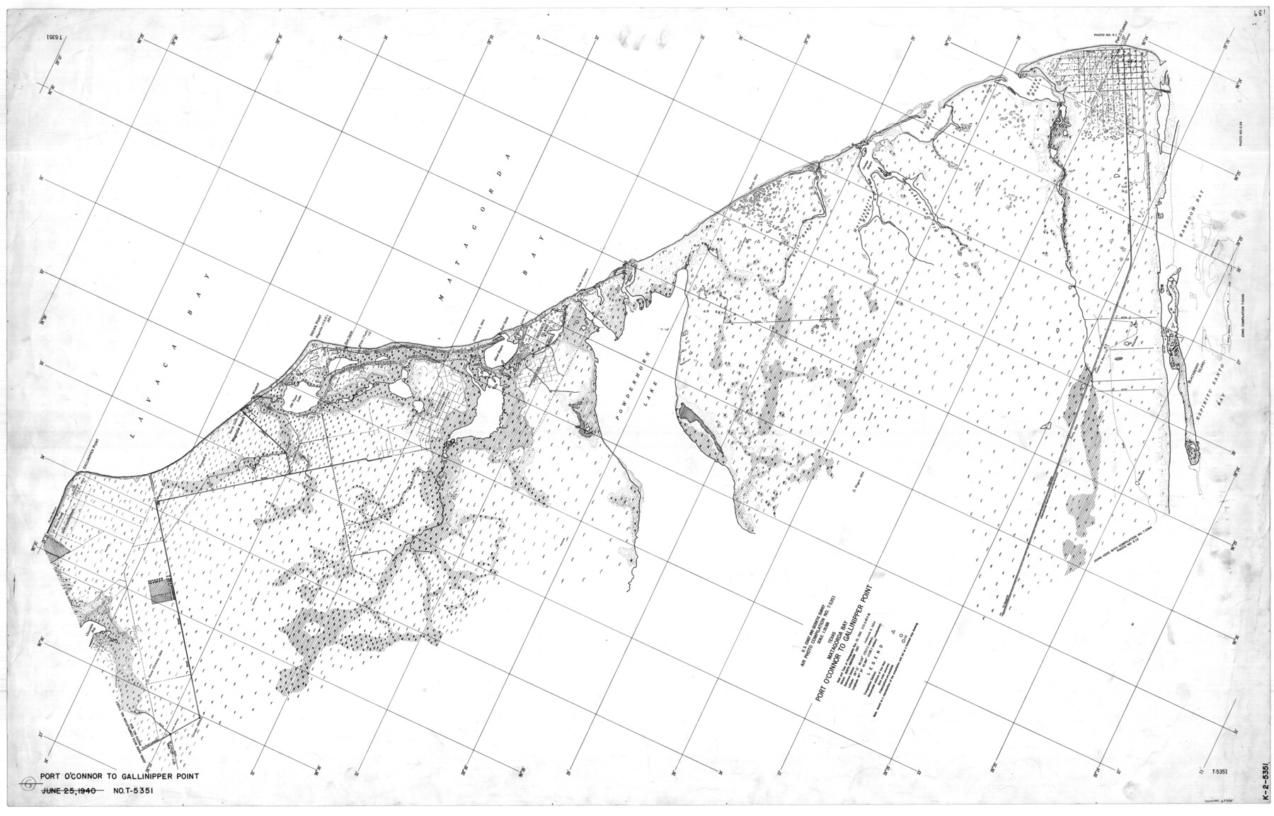
Texas, Matagorda Bay, Port O'Connor to Gallinipper Point
K-2-5351
-
Map/Doc
69985
-
Collection
General Map Collection
-
Object Dates
1933/11/23 (Creation Date)
-
Counties
Calhoun
-
Subjects
Nautical Charts
-
Height x Width
31.1 x 48.6 inches
79.0 x 123.4 cm
Part of: General Map Collection
Frio County Sketch File 18

Print $8.00
- Digital $50.00
Frio County Sketch File 18
1961
Size 14.3 x 8.9 inches
Map/Doc 23155
Crockett County Rolled Sketch 80

Print $20.00
- Digital $50.00
Crockett County Rolled Sketch 80
Size 14.0 x 28.5 inches
Map/Doc 5620
[Aransas National Wildlife Refuge]
![3119, [Aransas National Wildlife Refuge], General Map Collection](https://historictexasmaps.com/wmedia_w700/maps/3119-1.tif.jpg)
Print $40.00
- Digital $50.00
[Aransas National Wildlife Refuge]
1952
Size 55.9 x 43.4 inches
Map/Doc 3119
Kerr County Working Sketch 36

Print $20.00
- Digital $50.00
Kerr County Working Sketch 36
1991
Size 32.8 x 35.8 inches
Map/Doc 70067
Orange County Working Sketch 10

Print $20.00
- Digital $50.00
Orange County Working Sketch 10
1922
Size 24.2 x 38.6 inches
Map/Doc 71342
Gordonville Quadrangle

Print $20.00
- Digital $50.00
Gordonville Quadrangle
1999
Size 35.4 x 23.4 inches
Map/Doc 97362
Flight Mission No. DAG-18K, Frame 69, Matagorda County

Print $20.00
- Digital $50.00
Flight Mission No. DAG-18K, Frame 69, Matagorda County
1952
Size 16.3 x 16.2 inches
Map/Doc 86362
Hemphill County Rolled Sketch 8

Print $20.00
- Digital $50.00
Hemphill County Rolled Sketch 8
1903
Size 22.7 x 30.5 inches
Map/Doc 6191
Right of Way & Track Map, San Antonio & Aransas Pass Railway Co.

Print $40.00
- Digital $50.00
Right of Way & Track Map, San Antonio & Aransas Pass Railway Co.
1919
Size 25.3 x 56.5 inches
Map/Doc 64213
Presidio County Rolled Sketch T-1

Print $20.00
- Digital $50.00
Presidio County Rolled Sketch T-1
Size 26.8 x 27.1 inches
Map/Doc 7416
Gray County Rolled Sketch 3

Print $105.00
- Digital $50.00
Gray County Rolled Sketch 3
Size 10.6 x 15.5 inches
Map/Doc 45287
Zapata County Rolled Sketch 19

Print $20.00
- Digital $50.00
Zapata County Rolled Sketch 19
1955
Size 29.0 x 20.9 inches
Map/Doc 8316
You may also like
[Blocks D, Q, and Z]
![92522, [Blocks D, Q, and Z], Twichell Survey Records](https://historictexasmaps.com/wmedia_w700/maps/92522-1.tif.jpg)
Print $20.00
- Digital $50.00
[Blocks D, Q, and Z]
Size 17.9 x 22.6 inches
Map/Doc 92522
Pecos County Rolled Sketch 43

Print $20.00
- Digital $50.00
Pecos County Rolled Sketch 43
1912
Size 25.4 x 34.8 inches
Map/Doc 7221
[Val Verde County]
![63097, [Val Verde County], General Map Collection](https://historictexasmaps.com/wmedia_w700/maps/63097.tif.jpg)
Print $20.00
- Digital $50.00
[Val Verde County]
1898
Size 41.1 x 37.1 inches
Map/Doc 63097
Motley County Sketch File 36 (S)

Print $4.00
- Digital $50.00
Motley County Sketch File 36 (S)
1893
Size 11.0 x 8.8 inches
Map/Doc 32220
Mason County Rolled Sketch 7

Print $20.00
- Digital $50.00
Mason County Rolled Sketch 7
1986
Size 24.3 x 20.3 inches
Map/Doc 6679
Map of Asylum & University lands situated on the waters of Hubbards Creek

Print $20.00
- Digital $50.00
Map of Asylum & University lands situated on the waters of Hubbards Creek
1857
Size 21.2 x 28.5 inches
Map/Doc 2491
Leon County Rolled Sketch 7

Print $40.00
- Digital $50.00
Leon County Rolled Sketch 7
1954
Size 55.9 x 35.0 inches
Map/Doc 9428
G.C. & S.F. Ry. Alinement and Right of Way map of Dallas Branch, Ellis County, Texas

Print $40.00
- Digital $50.00
G.C. & S.F. Ry. Alinement and Right of Way map of Dallas Branch, Ellis County, Texas
1925
Size 31.4 x 120.7 inches
Map/Doc 64547
![91800, [Block M-19], Twichell Survey Records](https://historictexasmaps.com/wmedia_w700/maps/91800-1.tif.jpg)
[Aerial photograph showing R. H. Welder Ranch, San Patricio County, Texas]
![61407, [Aerial photograph showing R. H. Welder Ranch, San Patricio County, Texas], General Map Collection](https://historictexasmaps.com/wmedia_w700/maps/61407.tif.jpg)
Print $20.00
- Digital $50.00
[Aerial photograph showing R. H. Welder Ranch, San Patricio County, Texas]
Size 23.0 x 39.5 inches
Map/Doc 61407
Flight Mission No. DIX-7P, Frame 23, Aransas County

Print $20.00
- Digital $50.00
Flight Mission No. DIX-7P, Frame 23, Aransas County
1956
Size 18.7 x 22.4 inches
Map/Doc 83875
