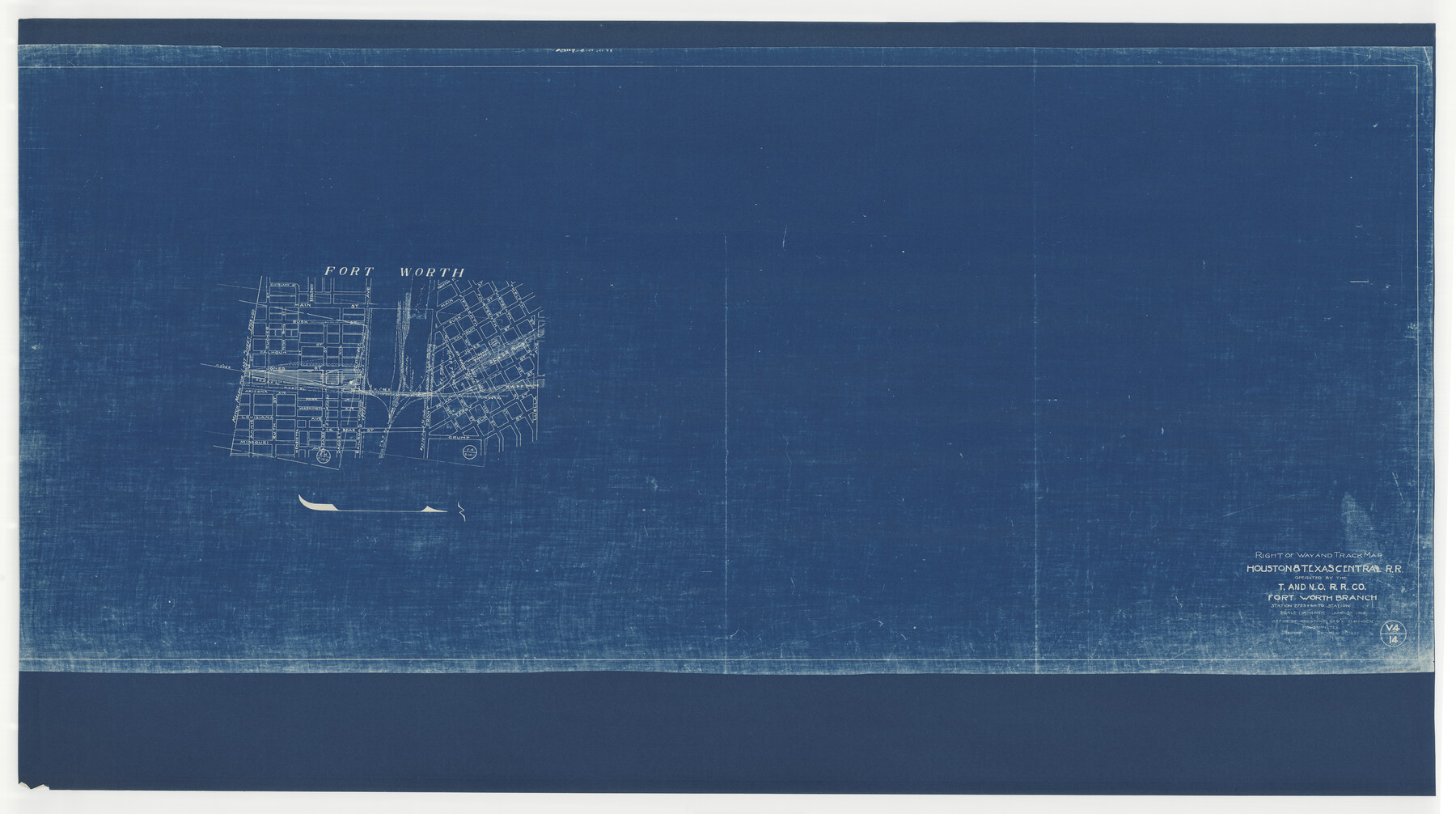
Right of Way and Track Map, Houston & Texas Central R.R. operated by the T. and N. O. R.R., Fort Worth Branch
Station 2753+60 to Station
Z-2-164
-
Map/Doc
64784
-
Collection
General Map Collection
-
Object Dates
1927/12/31 (Revision Date)
1930/12/31 (Revision Date)
1918/6/30 (Creation Date)
-
Counties
Tarrant
-
Subjects
Railroads
-
Height x Width
31.7 x 56.8 inches
80.5 x 144.3 cm
-
Medium
blueprint/diazo
-
Scale
1" = 400 feet
-
Comments
See counter nos. 64539 through 64544 and 64779 through 64783 for other sheets of the map.
-
Features
H&TC
MK&T
FW&D
GC&SF
Fort Worth
T&P
Union Depot
Part of: General Map Collection
Duval County Rolled Sketch 38

Print $20.00
- Digital $50.00
Duval County Rolled Sketch 38
1937
Size 22.6 x 16.1 inches
Map/Doc 5755
Reagan County Working Sketch 32

Print $20.00
- Digital $50.00
Reagan County Working Sketch 32
1965
Size 43.9 x 37.1 inches
Map/Doc 71874
Flight Mission No. CGI-2N, Frame 179, Cameron County

Print $20.00
- Digital $50.00
Flight Mission No. CGI-2N, Frame 179, Cameron County
1954
Size 18.5 x 22.2 inches
Map/Doc 84539
Dimmit County Working Sketch 18

Print $20.00
- Digital $50.00
Dimmit County Working Sketch 18
1946
Size 33.5 x 35.0 inches
Map/Doc 68679
Harris County Rolled Sketch 75

Print $20.00
- Digital $50.00
Harris County Rolled Sketch 75
1951
Size 33.8 x 34.9 inches
Map/Doc 76168
Real County Working Sketch 52

Print $20.00
- Digital $50.00
Real County Working Sketch 52
1958
Size 36.2 x 38.6 inches
Map/Doc 71944
La Salle County Sketch File 44

Print $20.00
- Digital $50.00
La Salle County Sketch File 44
1937
Size 18.6 x 27.9 inches
Map/Doc 11989
Menard County

Print $20.00
- Digital $50.00
Menard County
1942
Size 42.2 x 44.4 inches
Map/Doc 95588
Official Highway Map of the State of Vermont

Print $20.00
- Digital $50.00
Official Highway Map of the State of Vermont
1923
Size 44.8 x 28.6 inches
Map/Doc 97112
Harrison County

Print $20.00
- Digital $50.00
Harrison County
1920
Size 43.0 x 40.0 inches
Map/Doc 77305
Nueces County Rolled Sketch 72

Print $20.00
- Digital $50.00
Nueces County Rolled Sketch 72
1980
Size 18.1 x 25.8 inches
Map/Doc 6930
Travis County Rolled Sketch 32A

Print $40.00
- Digital $50.00
Travis County Rolled Sketch 32A
Size 57.6 x 37.3 inches
Map/Doc 10013
You may also like
Brewster County Working Sketch 48

Print $20.00
- Digital $50.00
Brewster County Working Sketch 48
1949
Size 28.9 x 23.7 inches
Map/Doc 67582
Harrison County Working Sketch 34

Print $20.00
- Digital $50.00
Harrison County Working Sketch 34
2015
Size 13.7 x 17.9 inches
Map/Doc 93726
Ownership Map NW 1/4 Lubbock County

Print $20.00
- Digital $50.00
Ownership Map NW 1/4 Lubbock County
1926
Size 32.5 x 39.6 inches
Map/Doc 89698
Sulphur River, Ringo Crossing Sheet

Print $20.00
- Digital $50.00
Sulphur River, Ringo Crossing Sheet
1933
Size 30.5 x 35.9 inches
Map/Doc 65162
Red River County Working Sketch 5

Print $20.00
- Digital $50.00
Red River County Working Sketch 5
1919
Size 14.7 x 12.8 inches
Map/Doc 71988
Eastland County

Print $20.00
- Digital $50.00
Eastland County
1945
Size 42.8 x 42.5 inches
Map/Doc 73136
Hydrography of Sabine Pass and Lake, La. And Tex.

Print $40.00
- Digital $50.00
Hydrography of Sabine Pass and Lake, La. And Tex.
1885
Size 53.2 x 32.5 inches
Map/Doc 2085
Current Miscellaneous File 45

Print $4.00
- Digital $50.00
Current Miscellaneous File 45
1954
Size 11.2 x 8.8 inches
Map/Doc 73988
Flight Mission No. BRA-6M, Frame 89, Jefferson County

Print $20.00
- Digital $50.00
Flight Mission No. BRA-6M, Frame 89, Jefferson County
1953
Size 18.6 x 22.4 inches
Map/Doc 85432
[H. & G. N. Block 1, G. C. & S. F. Block Z]
![91168, [H. & G. N. Block 1, G. C. & S. F. Block Z], Twichell Survey Records](https://historictexasmaps.com/wmedia_w700/maps/91168-1.tif.jpg)
Print $3.00
- Digital $50.00
[H. & G. N. Block 1, G. C. & S. F. Block Z]
Size 16.8 x 10.5 inches
Map/Doc 91168
Angelina County Sketch File 29

Print $4.00
- Digital $50.00
Angelina County Sketch File 29
1911
Size 8.0 x 8.4 inches
Map/Doc 13087
South Part Brewster Co.

Print $40.00
- Digital $50.00
South Part Brewster Co.
1915
Size 50.0 x 35.2 inches
Map/Doc 89723