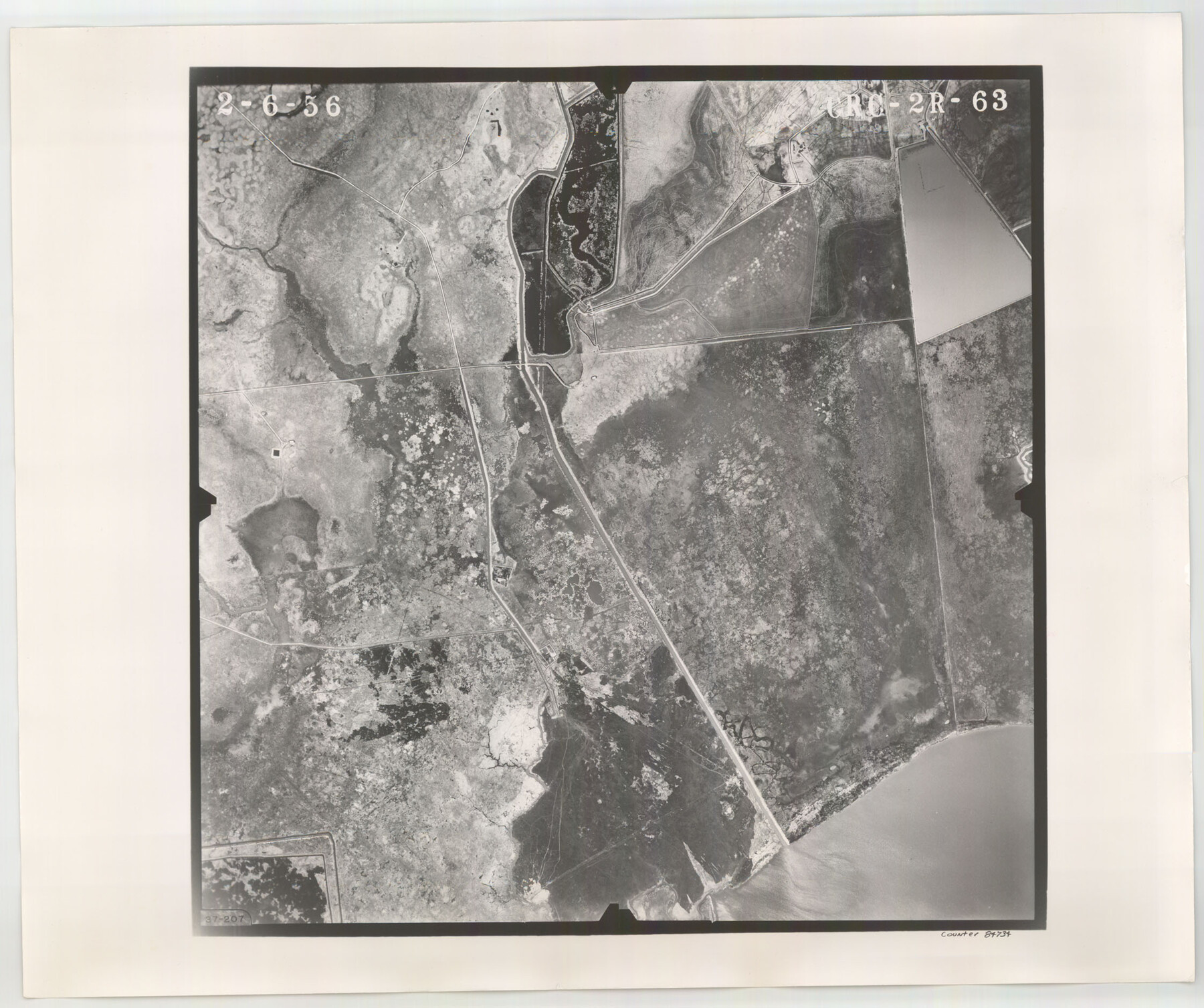
Flight Mission No. CRC-2R, Frame 63, Chambers County
CRC-2R-63
-
Map/Doc
84734
-
Collection
General Map Collection
-
Object Dates
1956/2/6 (Creation Date)
-
People and Organizations
U. S. Department of Agriculture (Publisher)
-
Counties
Chambers
-
Subjects
Aerial Photograph
-
Height x Width
18.8 x 22.4 inches
47.8 x 56.9 cm
-
Comments
Flown by Jack Ammann Photogrammetric Engineers, Inc. of San Antonio, Texas.
Part of: General Map Collection
Cottle County Sketch File 6c

Print $8.00
- Digital $50.00
Cottle County Sketch File 6c
Size 14.2 x 8.6 inches
Map/Doc 19480
Flight Mission No. DQN-1K, Frame 114, Calhoun County

Print $20.00
- Digital $50.00
Flight Mission No. DQN-1K, Frame 114, Calhoun County
1953
Size 18.5 x 22.3 inches
Map/Doc 84180
A Topographical Map of the City of Austin

Print $20.00
- Digital $50.00
A Topographical Map of the City of Austin
1872
Size 21.0 x 14.7 inches
Map/Doc 4821
Armstrong County Working Sketch 1

Print $20.00
- Digital $50.00
Armstrong County Working Sketch 1
1903
Size 10.3 x 17.2 inches
Map/Doc 67232
Wharton County Working Sketch 23

Print $20.00
- Digital $50.00
Wharton County Working Sketch 23
1919
Size 22.0 x 36.0 inches
Map/Doc 72487
Leon County Working Sketch 3

Print $20.00
- Digital $50.00
Leon County Working Sketch 3
1920
Size 15.9 x 14.4 inches
Map/Doc 70402
Polk County Working Sketch 32

Print $20.00
- Digital $50.00
Polk County Working Sketch 32
1960
Size 28.8 x 37.3 inches
Map/Doc 71648
Map of Bexar County

Print $20.00
- Digital $50.00
Map of Bexar County
1878
Size 24.5 x 27.6 inches
Map/Doc 3298
Medina County Working Sketch 11

Print $20.00
- Digital $50.00
Medina County Working Sketch 11
1963
Size 21.8 x 26.5 inches
Map/Doc 70926
Karnes County Working Sketch 10

Print $20.00
- Digital $50.00
Karnes County Working Sketch 10
1970
Size 35.5 x 26.3 inches
Map/Doc 66658
Moore County Rolled Sketch 6

Print $20.00
- Digital $50.00
Moore County Rolled Sketch 6
1911
Size 33.4 x 30.2 inches
Map/Doc 6825
Montgomery County Working Sketch 64

Print $20.00
- Digital $50.00
Montgomery County Working Sketch 64
1965
Size 27.9 x 33.7 inches
Map/Doc 71171
You may also like
Territory served by the Galveston Bay Ports, Tex.

Print $20.00
- Digital $50.00
Territory served by the Galveston Bay Ports, Tex.
Size 17.1 x 16.0 inches
Map/Doc 97165
Donley County Working Sketch 7

Print $20.00
- Digital $50.00
Donley County Working Sketch 7
1971
Size 23.7 x 26.1 inches
Map/Doc 68740
Oldham County Rolled Sketch 5

Print $20.00
- Digital $50.00
Oldham County Rolled Sketch 5
1903
Size 29.7 x 36.6 inches
Map/Doc 9641
Right of Way & Track Map, St. Louis, Brownsville & Mexico Ry. operated by St. Louis, Brownsville & Mexico Ry. Co.

Print $40.00
- Digital $50.00
Right of Way & Track Map, St. Louis, Brownsville & Mexico Ry. operated by St. Louis, Brownsville & Mexico Ry. Co.
1919
Size 25.5 x 57.3 inches
Map/Doc 64622
Terry County Sketch File 18

Print $36.00
- Digital $50.00
Terry County Sketch File 18
Size 8.9 x 11.4 inches
Map/Doc 38039
Stephens County

Print $20.00
- Digital $50.00
Stephens County
1879
Size 27.8 x 19.6 inches
Map/Doc 4051
Sectional Map of Pecos County, Texas

Print $20.00
- Digital $50.00
Sectional Map of Pecos County, Texas
1927
Size 36.5 x 46.4 inches
Map/Doc 89878
Pecos County Working Sketch 104

Print $40.00
- Digital $50.00
Pecos County Working Sketch 104
1971
Size 63.1 x 26.9 inches
Map/Doc 71577
Sterling County Rolled Sketch 10

Print $20.00
- Digital $50.00
Sterling County Rolled Sketch 10
1939
Size 24.2 x 31.2 inches
Map/Doc 7846
Galveston County NRC Article 33.136 Sketch 31

Print $22.00
- Digital $50.00
Galveston County NRC Article 33.136 Sketch 31
2005
Size 22.2 x 33.7 inches
Map/Doc 83280
Flight Mission No. BRE-2P, Frame 41, Nueces County

Print $20.00
- Digital $50.00
Flight Mission No. BRE-2P, Frame 41, Nueces County
1956
Size 18.5 x 22.4 inches
Map/Doc 86743
Foard County Boundary File 6

Print $10.00
- Digital $50.00
Foard County Boundary File 6
Size 7.2 x 8.7 inches
Map/Doc 53548