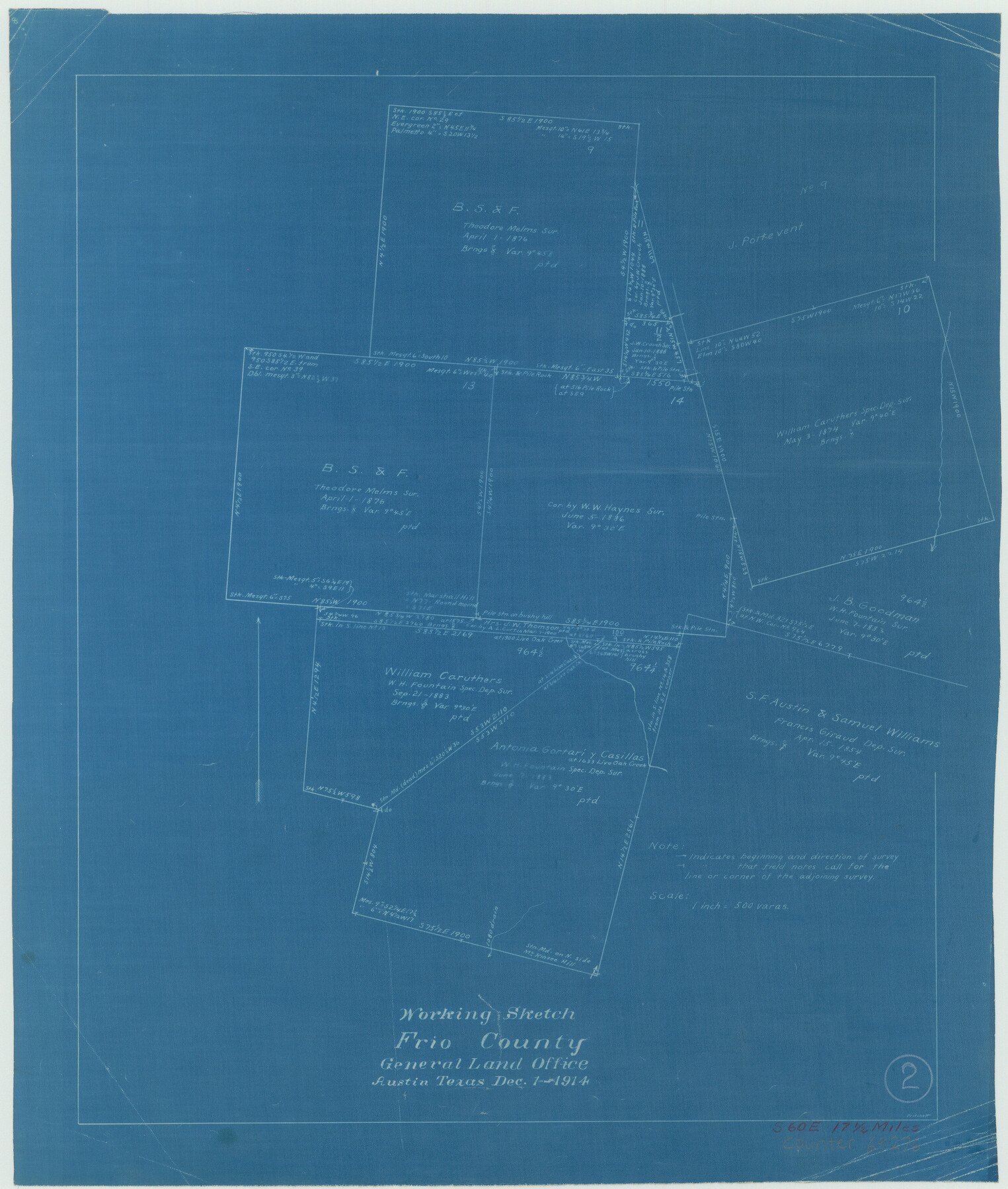
Frio County Working Sketch 2
-
Map/Doc
69276
-
Collection
General Map Collection
-
Object Dates
12/1/1914 (Creation Date)
-
People and Organizations
John W. Pritchett (Draftsman)
-
Counties
Frio
-
Subjects
Surveying Working Sketch
-
Height x Width
17.9 x 15.1 inches
45.5 x 38.4 cm
-
Scale
1" = 500 varas
Part of: General Map Collection
Sutton County Rolled Sketch 41

Print $20.00
- Digital $50.00
Sutton County Rolled Sketch 41
1938
Size 34.5 x 23.3 inches
Map/Doc 7883

2017 Official Travel Map, Texas

2017 Official Travel Map, Texas
2017
Size 33.6 x 36.4 inches
Map/Doc 94415
Map of Childress, Childress County, Texas on the Line of the Fort Worth and Denver City Railway, Texas Pan-Handle Route

Print $20.00
- Digital $50.00
Map of Childress, Childress County, Texas on the Line of the Fort Worth and Denver City Railway, Texas Pan-Handle Route
1888
Size 35.6 x 28.0 inches
Map/Doc 7691
Duval County Sketch File 23

Print $4.00
- Digital $50.00
Duval County Sketch File 23
Size 8.1 x 7.1 inches
Map/Doc 21326
Kendall County Working Sketch 8

Print $20.00
- Digital $50.00
Kendall County Working Sketch 8
1951
Size 24.5 x 25.0 inches
Map/Doc 66680
Pecos County Working Sketch 91b

Print $40.00
- Digital $50.00
Pecos County Working Sketch 91b
1965
Size 78.9 x 32.7 inches
Map/Doc 71564
Blanco County Sketch File 8

Print $4.00
- Digital $50.00
Blanco County Sketch File 8
Size 8.1 x 12.8 inches
Map/Doc 14584
Ochiltree County Boundary File 6

Print $4.00
- Digital $50.00
Ochiltree County Boundary File 6
Size 11.1 x 8.6 inches
Map/Doc 57713
Galveston County Rolled Sketch 30

Print $20.00
- Digital $50.00
Galveston County Rolled Sketch 30
1979
Size 28.0 x 39.8 inches
Map/Doc 5964
Palo Pinto County Working Sketch 19

Print $40.00
- Digital $50.00
Palo Pinto County Working Sketch 19
1975
Size 34.0 x 55.5 inches
Map/Doc 71402
Flight Mission No. DIX-5P, Frame 111, Aransas County

Print $20.00
- Digital $50.00
Flight Mission No. DIX-5P, Frame 111, Aransas County
1956
Size 17.6 x 18.0 inches
Map/Doc 83790
You may also like

Brazoria County Sketch File 37

Print $40.00
- Digital $50.00
Brazoria County Sketch File 37
1916
Size 20.6 x 30.1 inches
Map/Doc 10959
Plan of the town of Austin

Print $20.00
- Digital $50.00
Plan of the town of Austin
Size 18.4 x 13.0 inches
Map/Doc 94117
Galveston County

Print $20.00
- Digital $50.00
Galveston County
1860
Size 20.2 x 31.4 inches
Map/Doc 3575
Brazoria County Sketch File 30

Print $4.00
- Digital $50.00
Brazoria County Sketch File 30
1893
Size 11.1 x 8.7 inches
Map/Doc 15037
Flight Mission No. DQN-5K, Frame 52, Calhoun County

Print $20.00
- Digital $50.00
Flight Mission No. DQN-5K, Frame 52, Calhoun County
1953
Size 18.6 x 22.3 inches
Map/Doc 84397
Map of Silverton, County Seat of Briscoe County, Texas

Print $20.00
- Digital $50.00
Map of Silverton, County Seat of Briscoe County, Texas
1891
Size 24.3 x 19.8 inches
Map/Doc 4832
Kimble County Working Sketch 81

Print $20.00
- Digital $50.00
Kimble County Working Sketch 81
1971
Size 33.9 x 42.2 inches
Map/Doc 70149
Upton County Working Sketch 13

Print $20.00
- Digital $50.00
Upton County Working Sketch 13
1937
Size 22.6 x 43.4 inches
Map/Doc 69509
Flight Mission No. DCL-5C, Frame 70, Kenedy County

Print $20.00
- Digital $50.00
Flight Mission No. DCL-5C, Frame 70, Kenedy County
1943
Size 18.7 x 22.2 inches
Map/Doc 85853
Brazoria County Rolled Sketch 40

Print $20.00
- Digital $50.00
Brazoria County Rolled Sketch 40
1954
Size 32.1 x 21.5 inches
Map/Doc 5175
Chart of the West Indies and Spanish Dominions in North America

Print $20.00
- Digital $50.00
Chart of the West Indies and Spanish Dominions in North America
1803
Size 25.6 x 39.2 inches
Map/Doc 97138