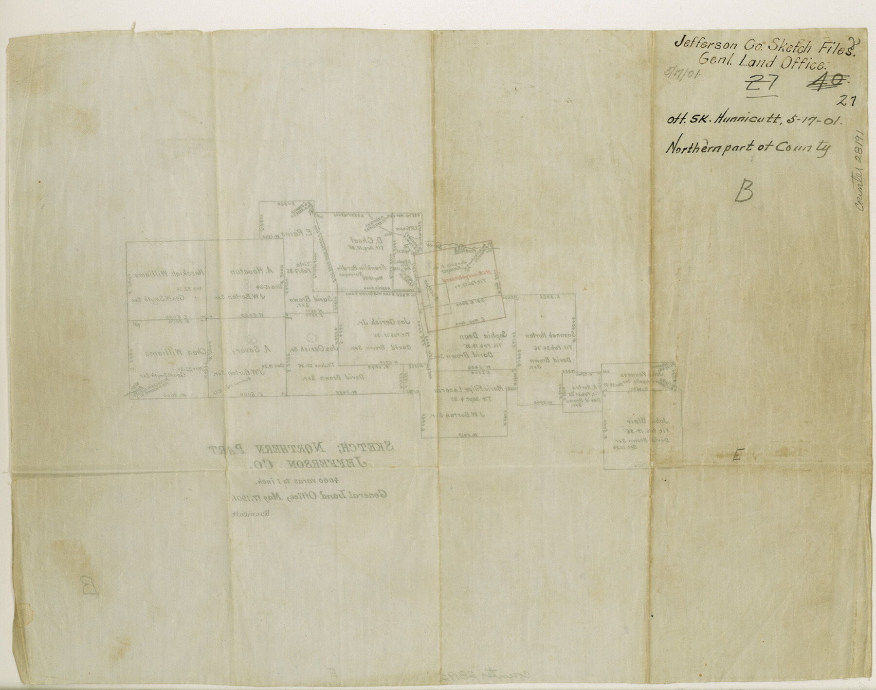
Jefferson County Sketch File 27
[Office sketch in northern part of county]
-
Map/Doc
28191
-
Collection
General Map Collection
-
Object Dates
5/17/1901 (Creation Date)
5/17/1901 (File Date)
-
People and Organizations
Hunnicutt (Surveyor/Engineer)
-
Counties
Jefferson Hardin
-
Subjects
Surveying Sketch File
-
Height x Width
11.0 x 13.9 inches
27.9 x 35.3 cm
-
Medium
paper, manuscript
-
Scale
1:4000
-
Features
Pinetree Bayou
Part of: General Map Collection
Burleson County Working Sketch 32

Print $20.00
- Digital $50.00
Burleson County Working Sketch 32
1981
Size 26.3 x 13.5 inches
Map/Doc 67751
Denton County Sketch File 38

Print $26.00
- Digital $50.00
Denton County Sketch File 38
1934
Size 11.4 x 8.9 inches
Map/Doc 20778
[Northeast portion of Grayson County]
![78364, [Northeast portion of Grayson County], General Map Collection](https://historictexasmaps.com/wmedia_w700/maps/78364.tif.jpg)
Print $20.00
- Digital $50.00
[Northeast portion of Grayson County]
Size 12.0 x 14.0 inches
Map/Doc 78364
Fisher County Sketch File 8

Print $16.00
- Digital $50.00
Fisher County Sketch File 8
1898
Size 14.7 x 9.1 inches
Map/Doc 22567
Knox County Sketch File 26

Print $40.00
- Digital $50.00
Knox County Sketch File 26
1957
Size 17.3 x 14.4 inches
Map/Doc 29262
Flight Mission No. BRE-2P, Frame 133, Nueces County

Print $20.00
- Digital $50.00
Flight Mission No. BRE-2P, Frame 133, Nueces County
1956
Size 18.5 x 22.5 inches
Map/Doc 86806
Erath County Working Sketch 13

Print $20.00
- Digital $50.00
Erath County Working Sketch 13
1952
Size 31.4 x 27.1 inches
Map/Doc 69094
Starr County Rolled Sketch 41

Print $6.00
- Digital $50.00
Starr County Rolled Sketch 41
1971
Size 10.8 x 15.8 inches
Map/Doc 49030
Hardin County Sketch File 12a

Print $4.00
- Digital $50.00
Hardin County Sketch File 12a
1866
Size 6.6 x 7.4 inches
Map/Doc 25118
Presidio County Rolled Sketch D1

Print $20.00
- Digital $50.00
Presidio County Rolled Sketch D1
Size 18.7 x 16.1 inches
Map/Doc 78524
Hartley County

Print $20.00
- Digital $50.00
Hartley County
1878
Size 19.7 x 24.4 inches
Map/Doc 3638
Orange County NRC Article 33.136 Sketch 5

Print $62.00
- Digital $50.00
Orange County NRC Article 33.136 Sketch 5
2014
Size 26.1 x 22.7 inches
Map/Doc 94946
You may also like
[Maps of surveys in Reeves & Culberson Cos]
![61136, [Maps of surveys in Reeves & Culberson Cos], General Map Collection](https://historictexasmaps.com/wmedia_w700/maps/61136.tif.jpg)
Print $20.00
- Digital $50.00
[Maps of surveys in Reeves & Culberson Cos]
1937
Size 30.5 x 24.7 inches
Map/Doc 61136
Milam County Working Sketch 7

Print $40.00
- Digital $50.00
Milam County Working Sketch 7
1969
Size 42.7 x 48.0 inches
Map/Doc 71022
Map of Young County

Print $20.00
- Digital $50.00
Map of Young County
1897
Size 44.1 x 37.9 inches
Map/Doc 63140
Controlled Mosaic by Jack Amman Photogrammetric Engineers, Inc - Sheet 25

Print $20.00
- Digital $50.00
Controlled Mosaic by Jack Amman Photogrammetric Engineers, Inc - Sheet 25
1954
Size 20.0 x 24.0 inches
Map/Doc 83476
Flight Mission No. CRC-2R, Frame 193, Chambers County

Print $20.00
- Digital $50.00
Flight Mission No. CRC-2R, Frame 193, Chambers County
1956
Size 18.9 x 22.5 inches
Map/Doc 84771
Hudspeth County Rolled Sketch 26

Print $20.00
- Digital $50.00
Hudspeth County Rolled Sketch 26
1909
Size 19.3 x 18.0 inches
Map/Doc 6247
Points of Interest & Road Map of Scenicland, U.S.A. and United States [Recto]
![94192, Points of Interest & Road Map of Scenicland, U.S.A. and United States [Recto], General Map Collection](https://historictexasmaps.com/wmedia_w700/maps/94192.tif.jpg)
Points of Interest & Road Map of Scenicland, U.S.A. and United States [Recto]
1966
Size 34.7 x 22.4 inches
Map/Doc 94192

Randall County Rolled Sketch 8

Print $20.00
- Digital $50.00
Randall County Rolled Sketch 8
Size 16.1 x 29.8 inches
Map/Doc 7430
Red River County Sketch File 23

Print $4.00
- Digital $50.00
Red River County Sketch File 23
1901
Size 11.3 x 8.8 inches
Map/Doc 35157
Flight Mission No. DCL-7C, Frame 137, Kenedy County

Print $20.00
- Digital $50.00
Flight Mission No. DCL-7C, Frame 137, Kenedy County
1943
Size 15.4 x 15.3 inches
Map/Doc 86094
Pecos County Working Sketch 46

Print $20.00
- Digital $50.00
Pecos County Working Sketch 46
1947
Size 27.8 x 18.0 inches
Map/Doc 71518