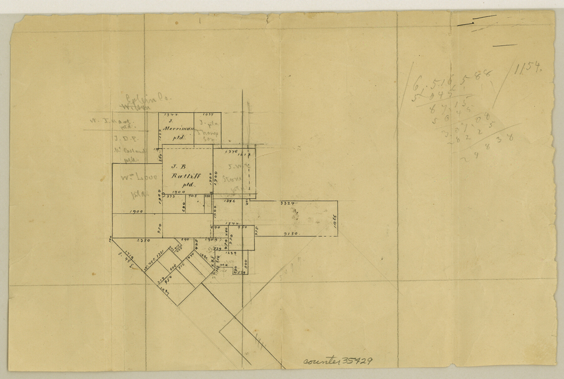
Rockwall County Sketch File 8
[Sketch of area in the northeast corner of Rockwall County near the county line with Hunt County]
-
Map/Doc
35429
-
Collection
General Map Collection
-
Counties
Rockwall Hunt
-
Subjects
Surveying Sketch File
-
Height x Width
7.1 x 10.6 inches
18.0 x 26.9 cm
-
Medium
paper, manuscript
Part of: General Map Collection

Concho County Sketch File 49

Print $20.00
- Digital $50.00
Concho County Sketch File 49
1889
Size 30.7 x 19.3 inches
Map/Doc 11166
Flight Mission No. BQR-16K, Frame 33, Brazoria County

Print $20.00
- Digital $50.00
Flight Mission No. BQR-16K, Frame 33, Brazoria County
1952
Size 18.5 x 22.3 inches
Map/Doc 84100
Hudspeth County Working Sketch 32a

Print $40.00
- Digital $50.00
Hudspeth County Working Sketch 32a
1975
Size 57.4 x 39.3 inches
Map/Doc 66317
Right of Way and Track Map, St. Louis, Brownsville & Mexico Railway operated by St. Louis Brownsville & Mexico Ry. Co., Jefferson Lake Oil Company

Print $40.00
- Digital $50.00
Right of Way and Track Map, St. Louis, Brownsville & Mexico Railway operated by St. Louis Brownsville & Mexico Ry. Co., Jefferson Lake Oil Company
1937
Size 25.3 x 57.1 inches
Map/Doc 64612
Jeff Davis County Rolled Sketch 23A

Print $11.00
- Digital $50.00
Jeff Davis County Rolled Sketch 23A
1886
Size 9.9 x 15.3 inches
Map/Doc 46293
Mills County Working Sketch 13

Print $20.00
- Digital $50.00
Mills County Working Sketch 13
1943
Size 27.4 x 28.7 inches
Map/Doc 71043
Wharton County Working Sketch 13

Print $20.00
- Digital $50.00
Wharton County Working Sketch 13
1968
Size 38.5 x 36.3 inches
Map/Doc 72477
Denton County Boundary File 4 and 4a and 4b and 4c

Print $14.00
- Digital $50.00
Denton County Boundary File 4 and 4a and 4b and 4c
Size 11.2 x 8.5 inches
Map/Doc 52441
Edwards County Working Sketch 112

Print $20.00
- Digital $50.00
Edwards County Working Sketch 112
1972
Size 20.0 x 26.4 inches
Map/Doc 68988
Houston County Working Sketch 19

Print $20.00
- Digital $50.00
Houston County Working Sketch 19
1976
Size 33.6 x 24.2 inches
Map/Doc 66249
Cooke County Working Sketch 28

Print $20.00
- Digital $50.00
Cooke County Working Sketch 28
1976
Size 28.4 x 34.1 inches
Map/Doc 68265
You may also like
Palo Pinto County Boundary File 3

Print $58.00
- Digital $50.00
Palo Pinto County Boundary File 3
Size 14.3 x 8.7 inches
Map/Doc 57800
Slaughter and Veal Lands, Howard and Borden Counties, Texas

Print $20.00
- Digital $50.00
Slaughter and Veal Lands, Howard and Borden Counties, Texas
Size 33.5 x 27.3 inches
Map/Doc 92544
Working Sketch in Crane County

Print $20.00
- Digital $50.00
Working Sketch in Crane County
1929
Size 29.2 x 34.3 inches
Map/Doc 90467
General Highway Map. Detail of Cities and Towns in Hardin County, Texas [Silsbee and vicinity]
![79500, General Highway Map. Detail of Cities and Towns in Hardin County, Texas [Silsbee and vicinity], Texas State Library and Archives](https://historictexasmaps.com/wmedia_w700/maps/79500.tif.jpg)
Print $20.00
General Highway Map. Detail of Cities and Towns in Hardin County, Texas [Silsbee and vicinity]
1961
Size 18.1 x 24.7 inches
Map/Doc 79500
Montgomery County Working Sketch 50

Print $20.00
- Digital $50.00
Montgomery County Working Sketch 50
1959
Size 25.3 x 21.9 inches
Map/Doc 71157
La Salle County Sketch File 29

Print $4.00
- Digital $50.00
La Salle County Sketch File 29
1889
Size 9.0 x 13.6 inches
Map/Doc 29561
Runnels County Working Sketch 30c

Print $20.00
- Digital $50.00
Runnels County Working Sketch 30c
1959
Size 30.5 x 32.1 inches
Map/Doc 63628
New Map of Greater San Antonio

Print $20.00
- Digital $50.00
New Map of Greater San Antonio
1941
Size 24.5 x 19.7 inches
Map/Doc 95954

Uvalde County Working Sketch 38

Print $20.00
- Digital $50.00
Uvalde County Working Sketch 38
1970
Size 33.3 x 30.8 inches
Map/Doc 72108
Working Sketch Compiled from Original Field Notes Irion County, Texas

Print $20.00
- Digital $50.00
Working Sketch Compiled from Original Field Notes Irion County, Texas
Size 19.4 x 19.5 inches
Map/Doc 92187
Travis County Sketch File 75

Print $2.00
- Digital $50.00
Travis County Sketch File 75
1992
Size 11.2 x 8.9 inches
Map/Doc 38473