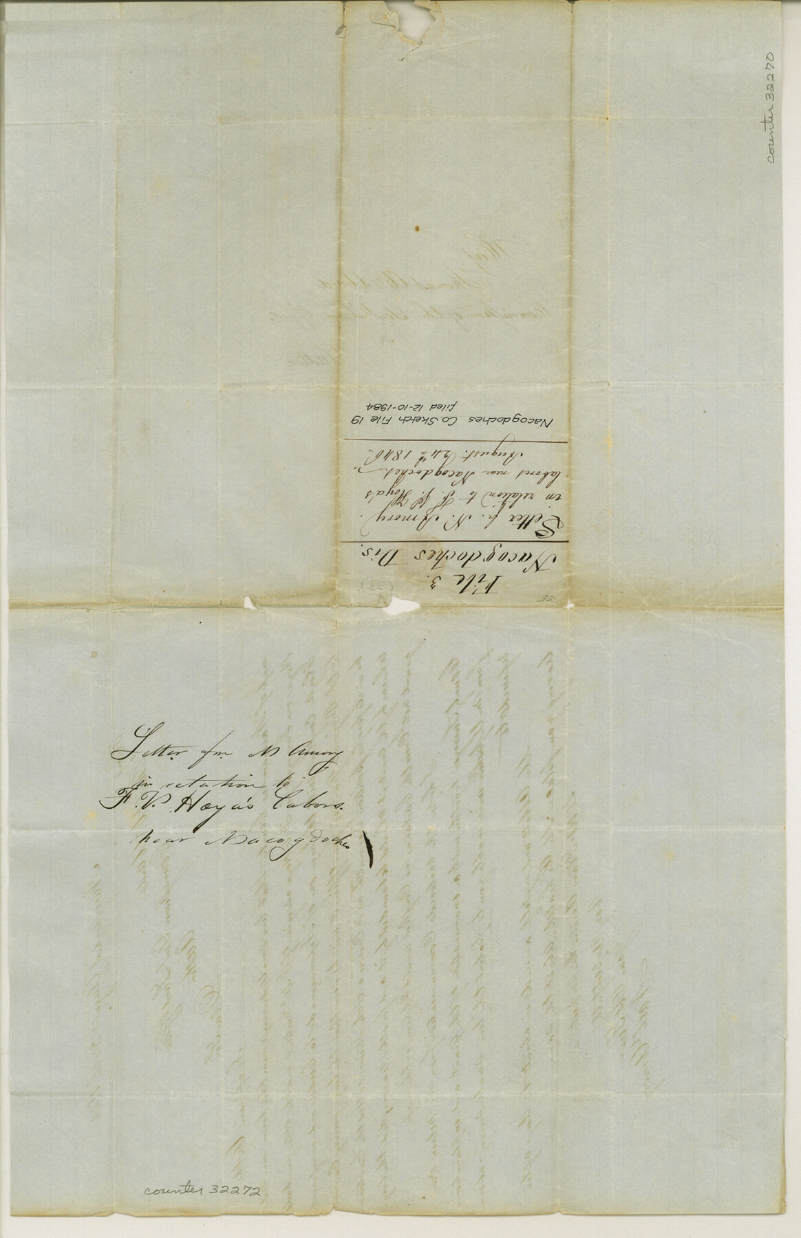
Nacogdoches County Sketch File 19
[Letter and surveyor's statement regarding F. V. Hoya's labors]
-
Map/Doc
32270
-
Collection
General Map Collection
-
Object Dates
8/24/1846 (Creation Date)
12/10/1984 (File Date)
-
People and Organizations
Nath. Armory (Surveyor/Engineer)
-
Counties
Nacogdoches
-
Subjects
Surveying Sketch File
-
Height x Width
17.0 x 11.0 inches
43.2 x 27.9 cm
-
Medium
paper, manuscript
-
Features
Castana Creek
Bayou Castana
Part of: General Map Collection
Map of east portion of Matagorda Bay in Matagorda County showing subdivision for mineral development

Print $40.00
- Digital $50.00
Map of east portion of Matagorda Bay in Matagorda County showing subdivision for mineral development
Size 33.0 x 52.8 inches
Map/Doc 65809
Milam County Working Sketch Graphic Index

Print $40.00
- Digital $50.00
Milam County Working Sketch Graphic Index
1975
Size 51.6 x 42.7 inches
Map/Doc 76642
Aransas County Rolled Sketch 19C

Print $20.00
- Digital $50.00
Aransas County Rolled Sketch 19C
Size 40.9 x 30.6 inches
Map/Doc 5063
Wharton County Working Sketch 20

Print $20.00
- Digital $50.00
Wharton County Working Sketch 20
1938
Size 39.1 x 42.2 inches
Map/Doc 72484
Brewster County Rolled Sketch 46

Print $20.00
- Digital $50.00
Brewster County Rolled Sketch 46
Size 20.8 x 32.2 inches
Map/Doc 5222
Liberty County Sketch File 29

Print $40.00
- Digital $50.00
Liberty County Sketch File 29
1888
Size 14.9 x 14.9 inches
Map/Doc 29955
Karnes County Working Sketch 12

Print $20.00
- Digital $50.00
Karnes County Working Sketch 12
1975
Size 36.0 x 45.5 inches
Map/Doc 66660
El Paso County Boundary File 13

Print $37.00
- Digital $50.00
El Paso County Boundary File 13
Size 11.1 x 8.6 inches
Map/Doc 53161
[Map of Connecting Lines along or near the Red River]
![75545, [Map of Connecting Lines along or near the Red River], General Map Collection](https://historictexasmaps.com/wmedia_w700/maps/75545.tif.jpg)
Print $40.00
- Digital $50.00
[Map of Connecting Lines along or near the Red River]
Size 37.9 x 48.7 inches
Map/Doc 75545
Baylor County Sketch File Z4

Print $2.00
- Digital $50.00
Baylor County Sketch File Z4
1898
Size 9.3 x 7.2 inches
Map/Doc 14114
Kinney County Working Sketch 15

Print $20.00
- Digital $50.00
Kinney County Working Sketch 15
1946
Size 24.7 x 13.6 inches
Map/Doc 70197
Flight Mission No. BRA-8M, Frame 142, Jefferson County

Print $20.00
- Digital $50.00
Flight Mission No. BRA-8M, Frame 142, Jefferson County
1953
Size 18.5 x 22.1 inches
Map/Doc 85634
You may also like
Jeff Davis County Working Sketch 20

Print $40.00
- Digital $50.00
Jeff Davis County Working Sketch 20
1957
Size 63.0 x 32.8 inches
Map/Doc 66515
Blanco County Working Sketch 6b

Print $40.00
- Digital $50.00
Blanco County Working Sketch 6b
1930
Size 52.6 x 27.8 inches
Map/Doc 67366
Flight Mission No. BRE-1P, Frame 145, Nueces County

Print $20.00
- Digital $50.00
Flight Mission No. BRE-1P, Frame 145, Nueces County
1956
Size 18.4 x 22.1 inches
Map/Doc 86705
Brewster County Sketch File NS-4b

Print $40.00
- Digital $50.00
Brewster County Sketch File NS-4b
Size 30.4 x 35.8 inches
Map/Doc 10988
Pecos County Sketch [University Blocks 19 and 20]
![2439, Pecos County Sketch [University Blocks 19 and 20], General Map Collection](https://historictexasmaps.com/wmedia_w700/maps/2439-1.tif.jpg)
Print $20.00
- Digital $50.00
Pecos County Sketch [University Blocks 19 and 20]
1951
Size 31.3 x 15.8 inches
Map/Doc 2439
[Various County School Lands]
![89928, [Various County School Lands], Twichell Survey Records](https://historictexasmaps.com/wmedia_w700/maps/89928-1.tif.jpg)
Print $40.00
- Digital $50.00
[Various County School Lands]
Size 57.6 x 42.9 inches
Map/Doc 89928
Young County Working Sketch 21

Print $20.00
- Digital $50.00
Young County Working Sketch 21
1964
Size 42.2 x 31.2 inches
Map/Doc 62044
Hutchinson County Working Sketch 18

Print $20.00
- Digital $50.00
Hutchinson County Working Sketch 18
1956
Size 31.4 x 18.3 inches
Map/Doc 66378
Roberts County Working Sketch 10

Print $20.00
- Digital $50.00
Roberts County Working Sketch 10
1965
Size 23.0 x 29.0 inches
Map/Doc 63536
St. L. S-W. Ry. of Texas Map of Lufkin Branch in Cherokee County Texas

Print $40.00
- Digital $50.00
St. L. S-W. Ry. of Texas Map of Lufkin Branch in Cherokee County Texas
1912
Size 23.4 x 121.6 inches
Map/Doc 64016
Flight Mission No. BRA-7M, Frame 189, Jefferson County

Print $20.00
- Digital $50.00
Flight Mission No. BRA-7M, Frame 189, Jefferson County
1953
Size 18.5 x 22.3 inches
Map/Doc 85557
McMullen County Sketch File 16a

Print $40.00
- Digital $50.00
McMullen County Sketch File 16a
Size 12.5 x 12.5 inches
Map/Doc 31367