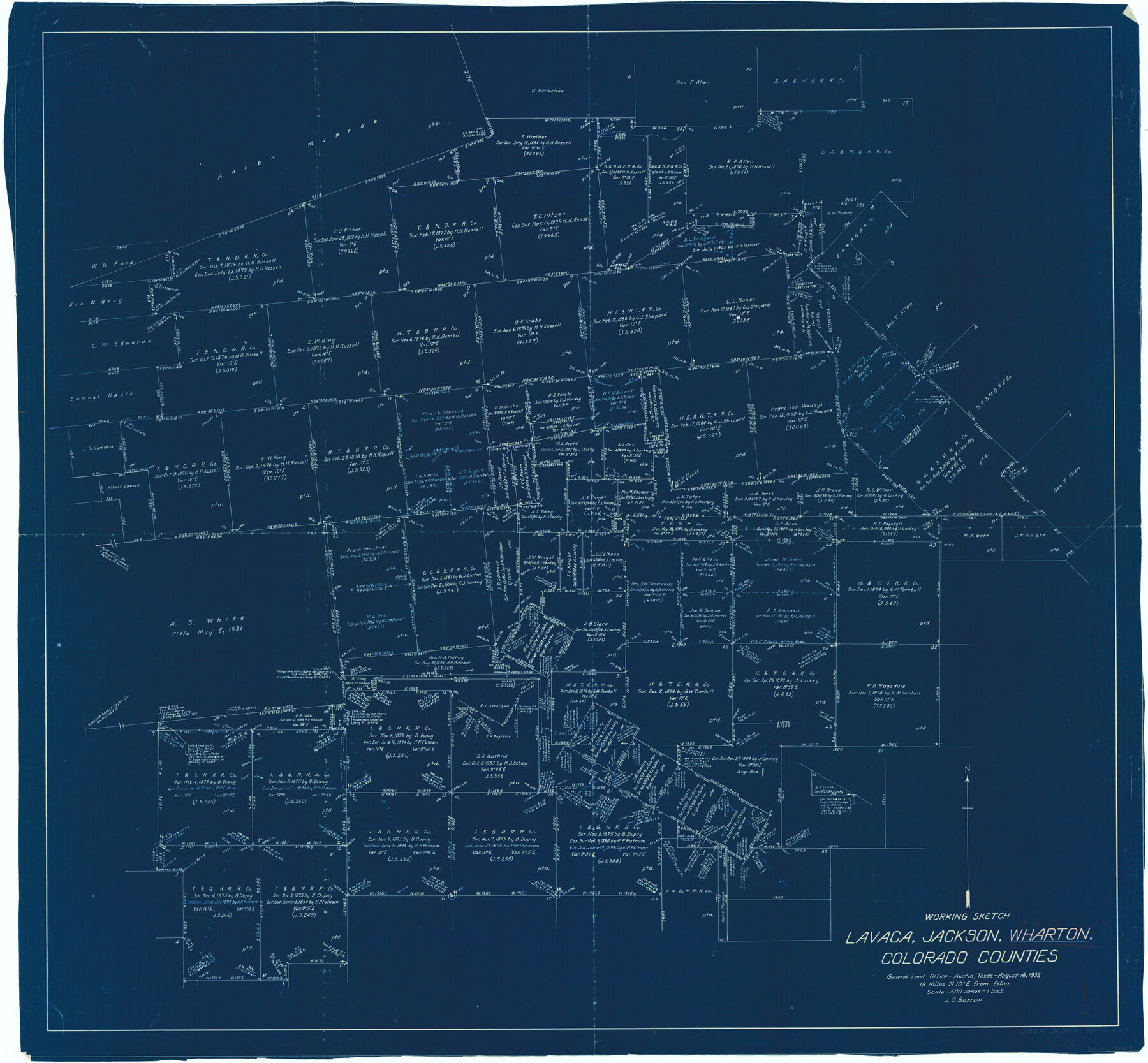
Wharton County Working Sketch 20
-
Map/Doc
72484
-
Collection
General Map Collection
-
Object Dates
8/16/1938 (Creation Date)
-
People and Organizations
J.O. Barrow (Draftsman)
-
Counties
Wharton Lavaca Jackson Colorado
-
Subjects
Surveying Working Sketch
-
Height x Width
39.1 x 42.2 inches
99.3 x 107.2 cm
-
Scale
1" = 500 varas
Part of: General Map Collection
Railroad Track Map, H&TCRRCo., Falls County, Texas

Print $4.00
- Digital $50.00
Railroad Track Map, H&TCRRCo., Falls County, Texas
1918
Size 11.8 x 18.6 inches
Map/Doc 62840
Atascosa County Rolled Sketch 10

Print $40.00
- Digital $50.00
Atascosa County Rolled Sketch 10
1943
Size 36.0 x 77.6 inches
Map/Doc 8428
Maverick County Working Sketch 2

Print $20.00
- Digital $50.00
Maverick County Working Sketch 2
1922
Size 46.2 x 38.5 inches
Map/Doc 70894
Flight Mission No. DQO-1K, Frame 116, Galveston County

Print $20.00
- Digital $50.00
Flight Mission No. DQO-1K, Frame 116, Galveston County
1952
Size 18.8 x 22.6 inches
Map/Doc 84994
Harris County Sketch File 25

Print $8.00
- Digital $50.00
Harris County Sketch File 25
Size 9.0 x 11.8 inches
Map/Doc 25389
Culberson County Sketch File 15

Print $20.00
- Digital $50.00
Culberson County Sketch File 15
1933
Size 30.4 x 24.4 inches
Map/Doc 11267
Kendall County Rolled Sketch 3

Print $9.00
- Digital $50.00
Kendall County Rolled Sketch 3
1858
Size 10.0 x 15.3 inches
Map/Doc 46424
Newton County Working Sketch 42

Print $20.00
- Digital $50.00
Newton County Working Sketch 42
1981
Size 26.4 x 22.5 inches
Map/Doc 71288
[Surveys along the Colorado River]
![49, [Surveys along the Colorado River], General Map Collection](https://historictexasmaps.com/wmedia_w700/maps/49.tif.jpg)
Print $20.00
- Digital $50.00
[Surveys along the Colorado River]
Size 28.6 x 24.0 inches
Map/Doc 49
McMullen County Sketch File 32-33

Print $16.00
- Digital $50.00
McMullen County Sketch File 32-33
1875
Size 10.1 x 8.0 inches
Map/Doc 31392
Ward County Rolled Sketch 10

Print $20.00
- Digital $50.00
Ward County Rolled Sketch 10
1936
Size 24.4 x 35.7 inches
Map/Doc 8155
Dimmit County Rolled Sketch 19

Print $20.00
- Digital $50.00
Dimmit County Rolled Sketch 19
1990
Size 45.4 x 41.7 inches
Map/Doc 8799
You may also like
Denton County Working Sketch 26

Print $20.00
- Digital $50.00
Denton County Working Sketch 26
1995
Size 29.3 x 33.9 inches
Map/Doc 68631
Victoria County Working Sketch 5

Print $20.00
- Digital $50.00
Victoria County Working Sketch 5
1944
Size 35.2 x 40.8 inches
Map/Doc 72275
Edwards County Sketch File 35

Print $4.00
- Digital $50.00
Edwards County Sketch File 35
Size 11.3 x 8.9 inches
Map/Doc 21769
Motley County Rolled Sketch 1

Print $20.00
- Digital $50.00
Motley County Rolled Sketch 1
1989
Size 39.0 x 47.6 inches
Map/Doc 9552
Dickens County Working Sketch 3

Print $20.00
- Digital $50.00
Dickens County Working Sketch 3
Size 17.5 x 15.3 inches
Map/Doc 68650
Schleicher County Working Sketch 13

Print $20.00
- Digital $50.00
Schleicher County Working Sketch 13
1926
Size 19.6 x 16.2 inches
Map/Doc 63815
Comanche County Working Sketch 16

Print $20.00
- Digital $50.00
Comanche County Working Sketch 16
1969
Size 16.5 x 23.8 inches
Map/Doc 68150
Railroad Track Map, H&TCRRCo., Falls County, Texas

Print $4.00
- Digital $50.00
Railroad Track Map, H&TCRRCo., Falls County, Texas
1918
Size 11.9 x 18.5 inches
Map/Doc 62832
General Highway Map, Brazoria County, Texas

Print $20.00
General Highway Map, Brazoria County, Texas
1939
Size 18.4 x 24.9 inches
Map/Doc 79025
Donley County Working Sketch 10

Print $20.00
- Digital $50.00
Donley County Working Sketch 10
1982
Size 35.1 x 41.1 inches
Map/Doc 68743
Sketch in Hardeman Co.

Print $3.00
- Digital $50.00
Sketch in Hardeman Co.
1890
Size 12.4 x 11.0 inches
Map/Doc 75925
Flight Mission No. DAG-24K, Frame 124, Matagorda County

Print $20.00
- Digital $50.00
Flight Mission No. DAG-24K, Frame 124, Matagorda County
1953
Size 18.4 x 22.3 inches
Map/Doc 86542