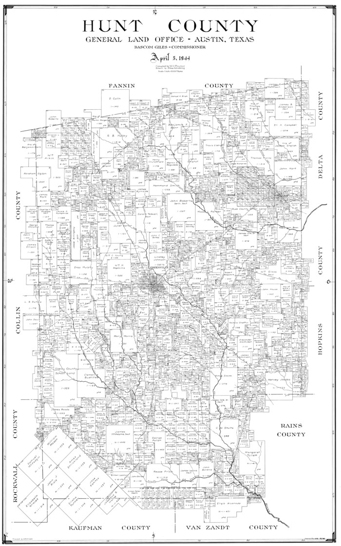
[Surveys in the Bexar District along the Cibolo Creek]
Atlas G, Page 1, Sketch 6 (G-1-6)
G-1-6
-
Map/Doc
3168
-
Collection
General Map Collection
-
Object Dates
1846 (Creation Date)
-
Counties
Bexar
-
Subjects
Atlas
-
Height x Width
5.1 x 6.7 inches
13.0 x 17.0 cm
-
Medium
paper, manuscript
-
Scale
[1:4000]
-
Comments
Conserved in 2004.
-
Features
Cibolo Creek
San Antonio & Nacogdoches Road
San Antonio Road
Nacogdoches Road
Part of: General Map Collection
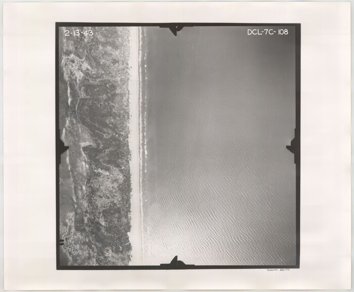
Flight Mission No. DCL-7C, Frame 108, Kenedy County

Print $20.00
- Digital $50.00
Flight Mission No. DCL-7C, Frame 108, Kenedy County
1943
Size 18.3 x 22.2 inches
Map/Doc 86073
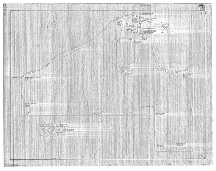
Harrison County Working Sketch 27

Print $20.00
- Digital $50.00
Harrison County Working Sketch 27
1988
Size 29.2 x 36.9 inches
Map/Doc 66047
Brewster County Rolled Sketch 11


Print $20.00
- Digital $50.00
Brewster County Rolled Sketch 11
1881
Size 24.9 x 23.1 inches
Map/Doc 5191
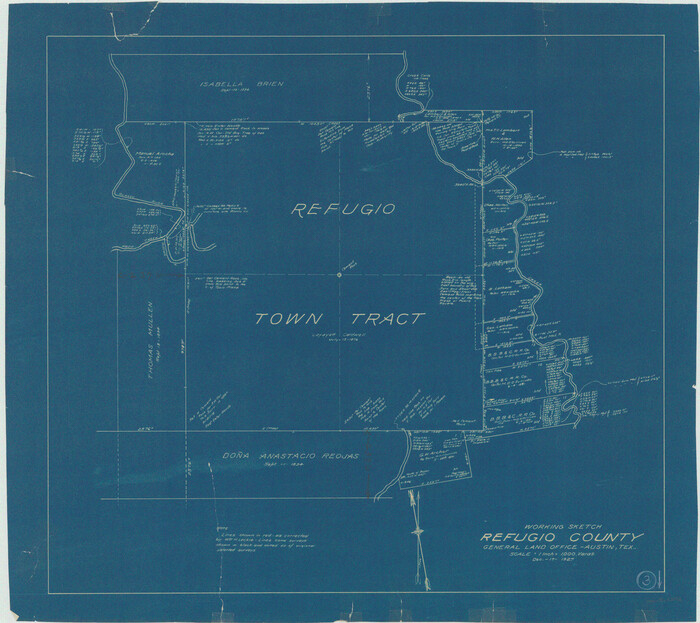
Refugio County Working Sketch 3

Print $20.00
- Digital $50.00
Refugio County Working Sketch 3
1927
Size 21.9 x 24.6 inches
Map/Doc 63512
Jasper County Sketch File 30
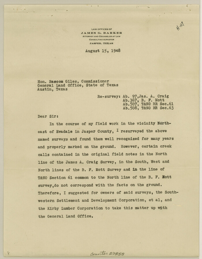

Print $20.00
- Digital $50.00
Jasper County Sketch File 30
1948
Size 11.3 x 8.8 inches
Map/Doc 27858
Lee County Rolled Sketch 3
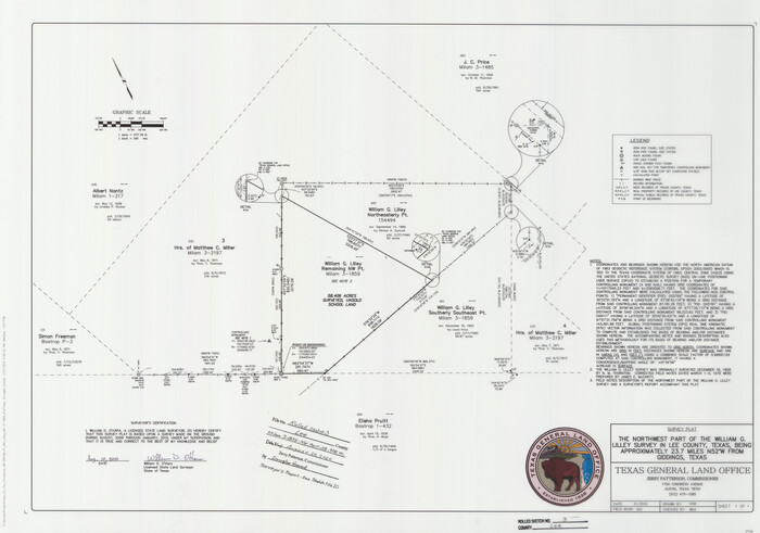

Print $20.00
- Digital $50.00
Lee County Rolled Sketch 3
2010
Size 25.5 x 36.0 inches
Map/Doc 89288
Presidio County Sketch File 116


Print $86.00
- Digital $50.00
Presidio County Sketch File 116
1993
Size 11.4 x 8.7 inches
Map/Doc 34842
Harrison County Working Sketch 7
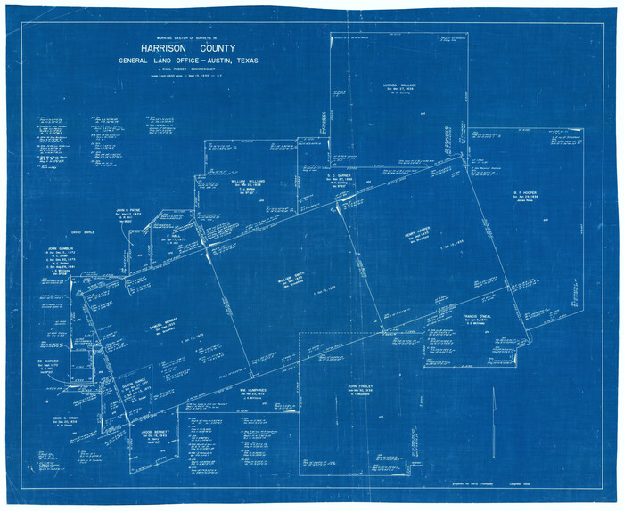

Print $20.00
- Digital $50.00
Harrison County Working Sketch 7
1955
Size 32.0 x 39.0 inches
Map/Doc 66027
Wichita County Working Sketch 11
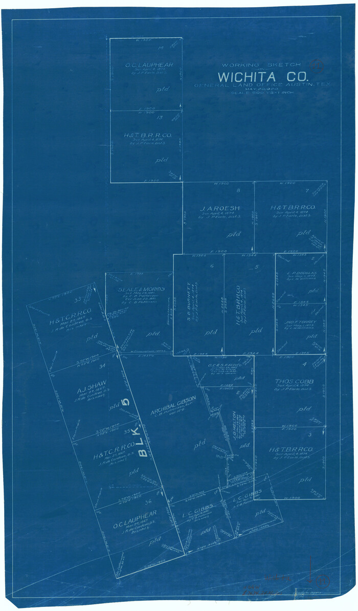

Print $20.00
- Digital $50.00
Wichita County Working Sketch 11
1920
Size 32.0 x 18.8 inches
Map/Doc 72520
Map of Zapata County
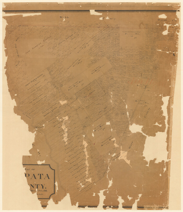

Print $40.00
- Digital $50.00
Map of Zapata County
1901
Size 55.1 x 47.7 inches
Map/Doc 16937
Loving County Sketch File 8
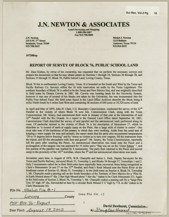

Print $44.00
- Digital $50.00
Loving County Sketch File 8
2002
Size 11.2 x 8.7 inches
Map/Doc 76377
You may also like
Atascosa County Sketch File 27


Print $42.00
- Digital $50.00
Atascosa County Sketch File 27
Size 8.7 x 8.3 inches
Map/Doc 13796
VanZandt County Showing the Located Route of the Texas and Pacific R.R.


Print $20.00
- Digital $50.00
VanZandt County Showing the Located Route of the Texas and Pacific R.R.
1872
Size 24.5 x 22.3 inches
Map/Doc 64136
Brewster County Working Sketch 62
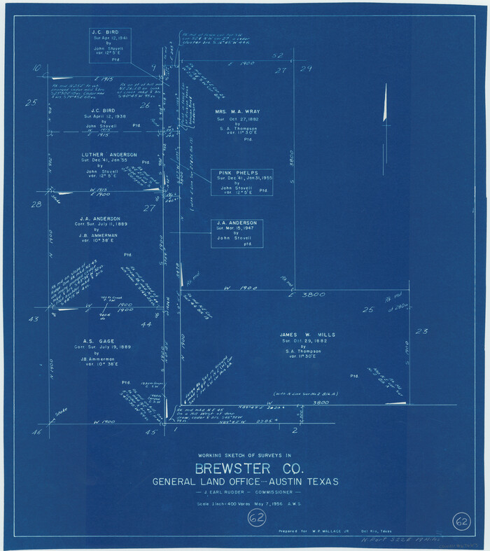

Print $20.00
- Digital $50.00
Brewster County Working Sketch 62
1956
Size 22.7 x 20.2 inches
Map/Doc 67663
[Victor Blanco's survey along the San Antonio River]
![187, [Victor Blanco's survey along the San Antonio River], General Map Collection](https://historictexasmaps.com/wmedia_w700/maps/187.tif.jpg)
![187, [Victor Blanco's survey along the San Antonio River], General Map Collection](https://historictexasmaps.com/wmedia_w700/maps/187.tif.jpg)
Print $2.00
- Digital $50.00
[Victor Blanco's survey along the San Antonio River]
Size 11.2 x 8.2 inches
Map/Doc 187
Smith County Sketch File 14
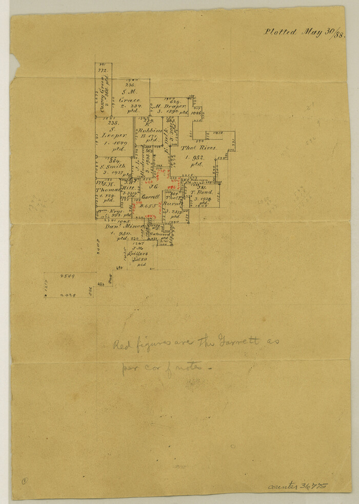

Print $4.00
- Digital $50.00
Smith County Sketch File 14
1888
Size 12.3 x 8.8 inches
Map/Doc 36775
Hale County Boundary File 9
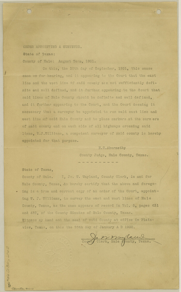

Print $68.00
- Digital $50.00
Hale County Boundary File 9
Size 14.2 x 8.8 inches
Map/Doc 54111
Crockett County Sketch File 52
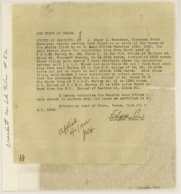

Print $4.00
- Digital $50.00
Crockett County Sketch File 52
Size 9.5 x 8.8 inches
Map/Doc 19817
Brooks County Boundary File 1b


Print $20.00
- Digital $50.00
Brooks County Boundary File 1b
Size 42.2 x 6.6 inches
Map/Doc 50837
Purnell and Lovell Empresario Colony. October 22, 1825
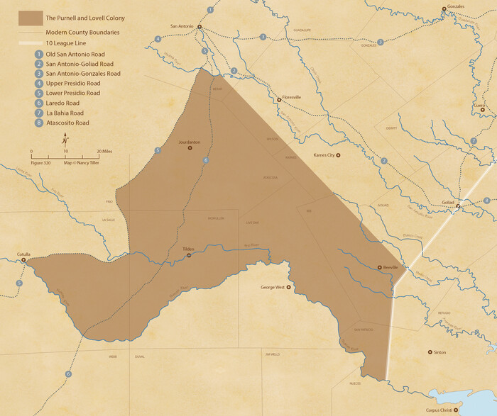

Print $20.00
Purnell and Lovell Empresario Colony. October 22, 1825
2020
Size 18.1 x 21.6 inches
Map/Doc 96005
Angelina County Sketch File 12
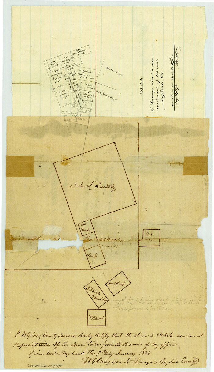

Print $4.00
- Digital $50.00
Angelina County Sketch File 12
1860
Size 14.1 x 8.1 inches
Map/Doc 12955
Presidio County Rolled Sketch 59


Print $20.00
- Digital $50.00
Presidio County Rolled Sketch 59
Size 27.6 x 18.2 inches
Map/Doc 7352
![3168, [Surveys in the Bexar District along the Cibolo Creek], General Map Collection](https://historictexasmaps.com/wmedia_w1800h1800/maps/3168.tif.jpg)

