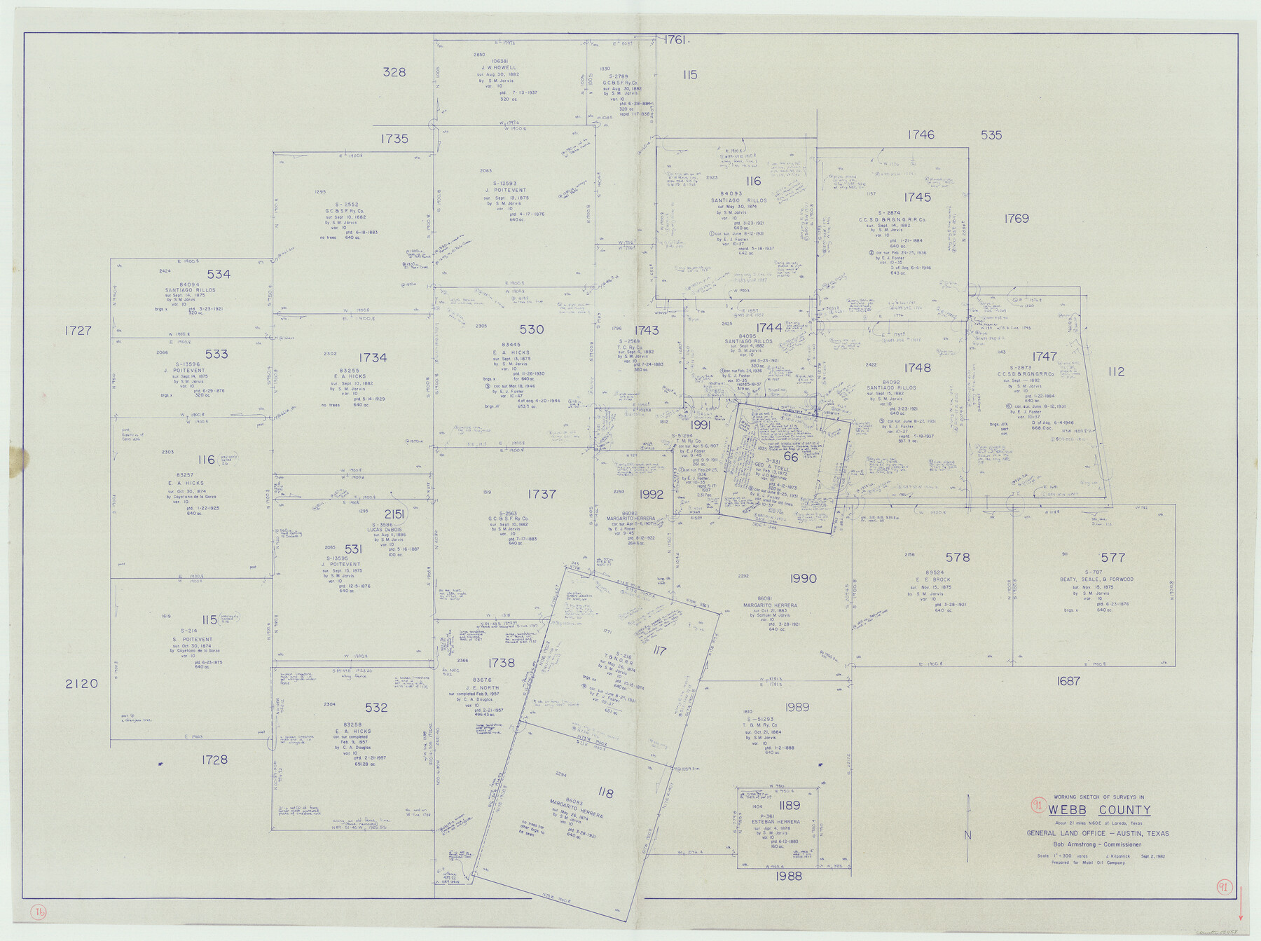
Webb County Working Sketch 91
-
Map/Doc
72458
-
Collection
General Map Collection
-
Object Dates
9/2/1982 (Creation Date)
-
People and Organizations
Joan Kilpatrick (Draftsman)
-
Counties
Webb
-
Subjects
Surveying Working Sketch
-
Height x Width
37.1 x 49.7 inches
94.2 x 126.2 cm
-
Scale
1" = 300 varas
Part of: General Map Collection
Nueces County Rolled Sketch 70

Print $60.00
Nueces County Rolled Sketch 70
1980
Size 25.3 x 38.0 inches
Map/Doc 6921
Trinity County Working Sketch 8

Print $3.00
- Digital $50.00
Trinity County Working Sketch 8
1941
Size 14.7 x 10.8 inches
Map/Doc 69457

Castro County Sketch File 4f

Print $4.00
- Digital $50.00
Castro County Sketch File 4f
Size 13.8 x 8.9 inches
Map/Doc 17475
Stephens County Working Sketch 40

Print $20.00
- Digital $50.00
Stephens County Working Sketch 40
2006
Size 26.9 x 34.0 inches
Map/Doc 87149
Greer County Sketch File 12

Print $20.00
- Digital $50.00
Greer County Sketch File 12
Size 23.6 x 20.1 inches
Map/Doc 11585
Collin County Working Sketch 1

Print $20.00
- Digital $50.00
Collin County Working Sketch 1
1921
Size 26.6 x 23.4 inches
Map/Doc 68095
General Homes Free Houston Area Map

General Homes Free Houston Area Map
Size 27.3 x 42.5 inches
Map/Doc 94394
Webb County Rolled Sketch 74

Print $20.00
- Digital $50.00
Webb County Rolled Sketch 74
1982
Size 40.7 x 31.9 inches
Map/Doc 10131
Wichita County Sketch File E

Print $40.00
- Digital $50.00
Wichita County Sketch File E
Size 14.2 x 15.6 inches
Map/Doc 40072
Culberson County Working Sketch 88

Print $20.00
- Digital $50.00
Culberson County Working Sketch 88
1983
Size 32.8 x 37.1 inches
Map/Doc 68542
Wheeler County Working Sketch 5

Print $40.00
- Digital $50.00
Wheeler County Working Sketch 5
1972
Size 55.3 x 45.9 inches
Map/Doc 72494
You may also like
Morris County Rolled Sketch 2A

Print $20.00
- Digital $50.00
Morris County Rolled Sketch 2A
Size 24.0 x 18.6 inches
Map/Doc 10235
Uvalde County Working Sketch 55

Print $20.00
- Digital $50.00
Uvalde County Working Sketch 55
1983
Size 38.9 x 37.6 inches
Map/Doc 72125
Lynn County Sketch File A2

Print $6.00
- Digital $50.00
Lynn County Sketch File A2
1903
Size 12.7 x 8.0 inches
Map/Doc 30470
[Cherokee Reserve, West Boundary Line, plat and field notes]
![2000, [Cherokee Reserve, West Boundary Line, plat and field notes], General Map Collection](https://historictexasmaps.com/wmedia_w700/pdf_converted_jpg/qi_pdf_thumbnail_931.jpg)
Print $54.00
[Cherokee Reserve, West Boundary Line, plat and field notes]
1841
Size 9.4 x 14.7 inches
Map/Doc 2000
Menard County Working Sketch 6

Print $20.00
- Digital $50.00
Menard County Working Sketch 6
1924
Size 24.4 x 15.3 inches
Map/Doc 70953
Montgomery County Sketch File 37

Print $6.00
- Digital $50.00
Montgomery County Sketch File 37
Size 12.6 x 8.2 inches
Map/Doc 31916
Wharton County

Print $40.00
- Digital $50.00
Wharton County
1946
Size 43.0 x 49.2 inches
Map/Doc 73321
[Plat of Trinity River w/ Midstream Profile in Liberty County by US Government 1899]
![65340, [Plat of Trinity River w/ Midstream Profile in Liberty County by US Government 1899], General Map Collection](https://historictexasmaps.com/wmedia_w700/maps/65340.tif.jpg)
Print $20.00
- Digital $50.00
[Plat of Trinity River w/ Midstream Profile in Liberty County by US Government 1899]
1899
Size 12.8 x 18.2 inches
Map/Doc 65340
Flight Mission No. DQO-1K, Frame 94, Galveston County

Print $20.00
- Digital $50.00
Flight Mission No. DQO-1K, Frame 94, Galveston County
1952
Size 18.9 x 22.6 inches
Map/Doc 84990
Denton County Working Sketch 23

Print $20.00
- Digital $50.00
Denton County Working Sketch 23
1982
Size 18.6 x 14.1 inches
Map/Doc 68628
Crockett County Working Sketch 23

Print $20.00
- Digital $50.00
Crockett County Working Sketch 23
1919
Size 35.1 x 33.7 inches
Map/Doc 68356
Austin County Working Sketch 3

Print $20.00
- Digital $50.00
Austin County Working Sketch 3
1950
Size 33.3 x 40.1 inches
Map/Doc 67244