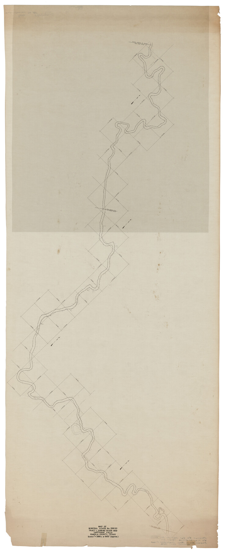
Panola County Rolled Sketch 5
Map of Mineral Lease no. 29830, Tract 1, Sabine River Bed, Carthage Field, Panola County, Texas
-
Map/Doc
9678
-
Collection
General Map Collection
-
Object Dates
1956/5/17 (File Date)
-
Counties
Panola
-
Subjects
Surveying Rolled Sketch
-
Height x Width
81.0 x 33.1 inches
205.7 x 84.1 cm
-
Medium
paper, manuscript
-
Scale
1" = 288 varas
Part of: General Map Collection

Leon County Rolled Sketch 7

Print $40.00
- Digital $50.00
Leon County Rolled Sketch 7
1954
Size 55.9 x 35.0 inches
Map/Doc 9428
Shackelford County Boundary File 5

Print $14.00
- Digital $50.00
Shackelford County Boundary File 5
Size 8.6 x 14.0 inches
Map/Doc 58661
Chambers County NRC Article 33.136 Sketch 13

Print $22.00
Chambers County NRC Article 33.136 Sketch 13
Size 35.9 x 23.2 inches
Map/Doc 97014
Tom Green County Sketch File 70

Print $6.00
- Digital $50.00
Tom Green County Sketch File 70
1945
Size 11.3 x 8.9 inches
Map/Doc 38241
[Beaumont, Sour Lake and Western Ry. Right of Way and Alignment - Frisco]
![64119, [Beaumont, Sour Lake and Western Ry. Right of Way and Alignment - Frisco], General Map Collection](https://historictexasmaps.com/wmedia_w700/maps/64119.tif.jpg)
Print $20.00
- Digital $50.00
[Beaumont, Sour Lake and Western Ry. Right of Way and Alignment - Frisco]
1910
Size 20.0 x 45.8 inches
Map/Doc 64119
Part of Laguna Madre in Nueces and Kleberg Counties, showing Subdivision for Mineral Development

Print $20.00
- Digital $50.00
Part of Laguna Madre in Nueces and Kleberg Counties, showing Subdivision for Mineral Development
1948
Size 42.0 x 30.3 inches
Map/Doc 1921
Map of Madison County

Print $20.00
- Digital $50.00
Map of Madison County
1880
Size 17.0 x 24.9 inches
Map/Doc 3832
Harrison County Sketch File 7

Print $6.00
- Digital $50.00
Harrison County Sketch File 7
1858
Size 11.7 x 9.7 inches
Map/Doc 26046
Cuadro Historico-Geroglifico de la Peregrinacion de las Tribus Aztecas que Poblaron el Valle de Mexico (Num. 2)

Print $20.00
- Digital $50.00
Cuadro Historico-Geroglifico de la Peregrinacion de las Tribus Aztecas que Poblaron el Valle de Mexico (Num. 2)
Size 22.9 x 31.3 inches
Map/Doc 97012
Nautical Chart 885-SC Intracoastal Waterway - Ellender to Galveston Bay, Louisiana-Texas

Print $20.00
- Digital $50.00
Nautical Chart 885-SC Intracoastal Waterway - Ellender to Galveston Bay, Louisiana-Texas
1972
Size 15.9 x 26.8 inches
Map/Doc 75910
Nueces County Rolled Sketch 98

Print $34.00
- Digital $50.00
Nueces County Rolled Sketch 98
1984
Size 24.5 x 36.4 inches
Map/Doc 7059
You may also like
Hood County Rolled Sketch 2

Print $20.00
- Digital $50.00
Hood County Rolled Sketch 2
1958
Size 18.0 x 27.4 inches
Map/Doc 6219
Martin County Sketch File 14

Print $46.00
- Digital $50.00
Martin County Sketch File 14
1937
Size 11.2 x 8.8 inches
Map/Doc 30671
Brewster County Boundary File 2

Print $40.00
- Digital $50.00
Brewster County Boundary File 2
Size 14.0 x 16.3 inches
Map/Doc 50756
Presidio County Rolled Sketch 93A

Print $20.00
- Digital $50.00
Presidio County Rolled Sketch 93A
Size 29.6 x 28.2 inches
Map/Doc 7379
Briscoe County Boundary File 7

Print $6.00
- Digital $50.00
Briscoe County Boundary File 7
Size 10.6 x 8.1 inches
Map/Doc 50806
Mapa de los Estados Unidos de Méjico, Segun lo organizado y definido por las varias actas del Congreso de dicha Republica: y construido por las mejores autoridades

Print $20.00
- Digital $50.00
Mapa de los Estados Unidos de Méjico, Segun lo organizado y definido por las varias actas del Congreso de dicha Republica: y construido por las mejores autoridades
1847
Size 31.3 x 42.3 inches
Map/Doc 93878
Taylor County Working Sketch 20

Print $40.00
- Digital $50.00
Taylor County Working Sketch 20
1985
Size 58.7 x 36.7 inches
Map/Doc 69630
Coke County Sketch File 16

Print $20.00
- Digital $50.00
Coke County Sketch File 16
1902
Size 18.7 x 16.2 inches
Map/Doc 11108
Encinal County

Print $20.00
- Digital $50.00
Encinal County
1886
Size 32.2 x 23.6 inches
Map/Doc 3518
Gaines County Sketch File 15

Print $5.00
- Digital $50.00
Gaines County Sketch File 15
1956
Size 11.6 x 8.8 inches
Map/Doc 23202
King County, Texas

Print $20.00
- Digital $50.00
King County, Texas
1880
Size 20.0 x 19.4 inches
Map/Doc 737
Edwards County Working Sketch 38

Print $20.00
- Digital $50.00
Edwards County Working Sketch 38
1948
Size 28.4 x 43.9 inches
Map/Doc 68914