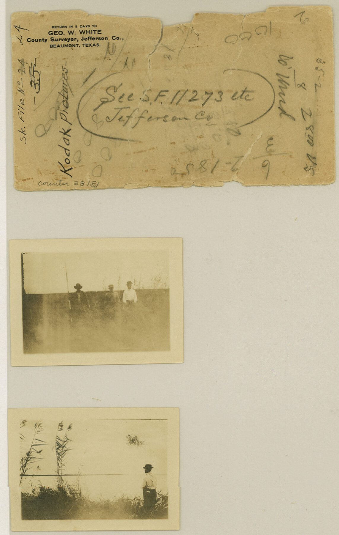
Jefferson County Sketch File 24
[Photographs of surveying]
-
Map/Doc
28181
-
Collection
General Map Collection
-
Counties
Jefferson
-
Subjects
Surveying Sketch File
-
Height x Width
10.8 x 6.8 inches
27.4 x 17.3 cm
-
Medium
photograph
Part of: General Map Collection
Flight Mission No. DAG-28K, Frame 22, Matagorda County

Print $20.00
- Digital $50.00
Flight Mission No. DAG-28K, Frame 22, Matagorda County
1953
Size 18.4 x 22.3 inches
Map/Doc 86590
Carte Reduite du Globe Terrestre

Print $20.00
- Digital $50.00
Carte Reduite du Globe Terrestre
1782
Size 13.5 x 17.1 inches
Map/Doc 97117
Liberty County Working Sketch 88

Print $20.00
- Digital $50.00
Liberty County Working Sketch 88
1991
Size 19.6 x 38.8 inches
Map/Doc 70548
Cherokee County Working Sketch 12

Print $20.00
- Digital $50.00
Cherokee County Working Sketch 12
1957
Size 36.6 x 46.0 inches
Map/Doc 67967
Duval County Boundary File 3g

Print $4.00
- Digital $50.00
Duval County Boundary File 3g
Size 9.9 x 7.8 inches
Map/Doc 52747
Flight Mission No. CRC-1R, Frame 36, Chambers County

Print $20.00
- Digital $50.00
Flight Mission No. CRC-1R, Frame 36, Chambers County
1956
Size 18.7 x 22.3 inches
Map/Doc 84704
Greater San Antonio & Surrounding Area

Greater San Antonio & Surrounding Area
Size 36.1 x 46.0 inches
Map/Doc 96869
Hudspeth County Sketch File 54

Print $4.00
- Digital $50.00
Hudspeth County Sketch File 54
1993
Size 8.9 x 14.2 inches
Map/Doc 27079
No. 1 - Survey for a road from the Brazo Santiago to the Rio Grande

Print $20.00
- Digital $50.00
No. 1 - Survey for a road from the Brazo Santiago to the Rio Grande
1847
Size 18.3 x 27.0 inches
Map/Doc 72873
Map of Clay County, Cooke Land District, formely(sic.) Fannin Land District

Print $20.00
- Digital $50.00
Map of Clay County, Cooke Land District, formely(sic.) Fannin Land District
1859
Size 30.2 x 19.0 inches
Map/Doc 1049
Young County Sketch File 14

Print $20.00
- Digital $50.00
Young County Sketch File 14
1895
Size 10.9 x 27.3 inches
Map/Doc 12712
Nueces County Rolled Sketch 92

Print $222.00
Nueces County Rolled Sketch 92
1983
Size 24.6 x 43.7 inches
Map/Doc 7028
You may also like
Edwards County Sketch File 30

Print $10.00
- Digital $50.00
Edwards County Sketch File 30
1920
Size 6.5 x 8.9 inches
Map/Doc 21757
Map of Kerr County, Texas

Print $20.00
- Digital $50.00
Map of Kerr County, Texas
1879
Size 21.7 x 28.5 inches
Map/Doc 526
Right of Way & Track Map San Antonio & Aransas Pass Railway Co.

Print $40.00
- Digital $50.00
Right of Way & Track Map San Antonio & Aransas Pass Railway Co.
1919
Size 25.7 x 56.7 inches
Map/Doc 64039
Concho County Rolled Sketch 1

Print $20.00
- Digital $50.00
Concho County Rolled Sketch 1
1945
Size 19.5 x 25.0 inches
Map/Doc 5543
Montague County Boundary File 3

Print $42.00
- Digital $50.00
Montague County Boundary File 3
Size 9.0 x 13.6 inches
Map/Doc 57434
[Galveston, Harrisburg & San Antonio Railroad from Cuero to Stockdale]
![64195, [Galveston, Harrisburg & San Antonio Railroad from Cuero to Stockdale], General Map Collection](https://historictexasmaps.com/wmedia_w700/maps/64195.tif.jpg)
Print $20.00
- Digital $50.00
[Galveston, Harrisburg & San Antonio Railroad from Cuero to Stockdale]
1907
Size 14.0 x 34.1 inches
Map/Doc 64195
Presidio County Sketch File 119

Print $14.00
- Digital $50.00
Presidio County Sketch File 119
1996
Size 14.3 x 9.0 inches
Map/Doc 34927
Wichita County Working Sketch 19

Print $20.00
- Digital $50.00
Wichita County Working Sketch 19
1949
Size 18.1 x 30.9 inches
Map/Doc 72529
Jefferson County Working Sketch 1

Print $20.00
- Digital $50.00
Jefferson County Working Sketch 1
Size 22.7 x 17.5 inches
Map/Doc 66544
Howard County Sketch File 1

Print $34.00
- Digital $50.00
Howard County Sketch File 1
1903
Size 8.9 x 8.6 inches
Map/Doc 26839
Grimes County Working Sketch 7

Print $20.00
- Digital $50.00
Grimes County Working Sketch 7
1963
Size 27.2 x 33.0 inches
Map/Doc 63298
San Augustine County Working Sketch 3

Print $20.00
- Digital $50.00
San Augustine County Working Sketch 3
1934
Size 22.9 x 13.6 inches
Map/Doc 63690