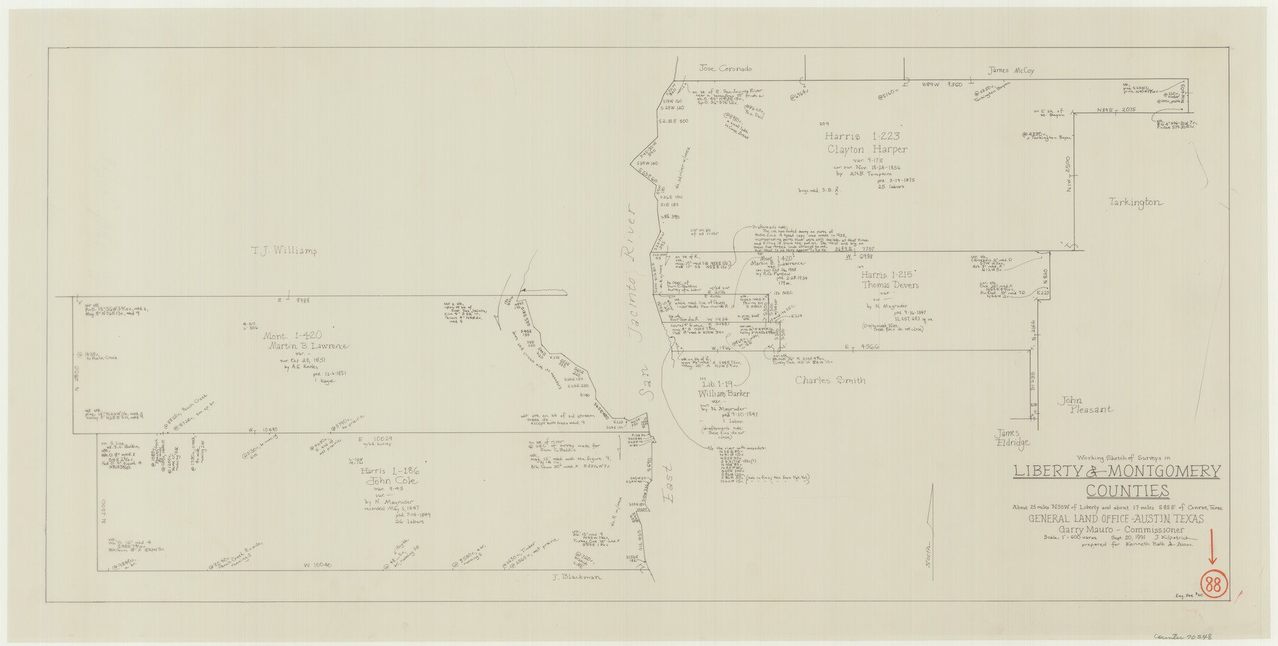
Liberty County Working Sketch 88
-
Map/Doc
70548
-
Collection
General Map Collection
-
Object Dates
9/20/1991 (Creation Date)
-
People and Organizations
Joan Kilpatrick (Draftsman)
-
Counties
Liberty Montgomery
-
Subjects
Surveying Working Sketch
-
Height x Width
19.6 x 38.8 inches
49.8 x 98.6 cm
-
Scale
1" = 600 varas
Part of: General Map Collection
South Part of El Paso Co.

Print $20.00
- Digital $50.00
South Part of El Paso Co.
1977
Size 36.5 x 47.8 inches
Map/Doc 95491
Hood County Sketch File 23a

Print $20.00
- Digital $50.00
Hood County Sketch File 23a
1887
Size 17.2 x 16.5 inches
Map/Doc 11781
Gillespie County

Print $40.00
- Digital $50.00
Gillespie County
1887
Size 44.1 x 59.7 inches
Map/Doc 16835
Smith County Sketch File 3

Print $4.00
- Digital $50.00
Smith County Sketch File 3
1853
Size 10.5 x 8.6 inches
Map/Doc 36750
Flight Mission No. BRE-2P, Frame 45, Nueces County

Print $20.00
- Digital $50.00
Flight Mission No. BRE-2P, Frame 45, Nueces County
1956
Size 18.6 x 22.6 inches
Map/Doc 86747
Maverick County Sketch File 3

Print $40.00
- Digital $50.00
Maverick County Sketch File 3
Size 18.3 x 11.6 inches
Map/Doc 31033
Leon County Working Sketch 7

Print $20.00
- Digital $50.00
Leon County Working Sketch 7
1913
Size 13.7 x 16.7 inches
Map/Doc 70406
Flight Mission No. DAG-23K, Frame 20, Matagorda County

Print $20.00
- Digital $50.00
Flight Mission No. DAG-23K, Frame 20, Matagorda County
1953
Size 18.4 x 22.2 inches
Map/Doc 86482
Copy of Surveyor's Field Book, Morris Browning - In Blocks 7, 5 & 4, I&GNRRCo., Hutchinson and Carson Counties, Texas

Print $3.00
- Digital $50.00
Copy of Surveyor's Field Book, Morris Browning - In Blocks 7, 5 & 4, I&GNRRCo., Hutchinson and Carson Counties, Texas
1888
Size 12.7 x 9.7 inches
Map/Doc 62258
Presidio County Working Sketch 63

Print $40.00
- Digital $50.00
Presidio County Working Sketch 63
1958
Size 64.8 x 38.9 inches
Map/Doc 71740
Comanche County Working Sketch 22

Print $20.00
- Digital $50.00
Comanche County Working Sketch 22
1974
Size 23.7 x 23.1 inches
Map/Doc 68156
South Part Crockett County

Print $40.00
- Digital $50.00
South Part Crockett County
1977
Size 39.7 x 51.4 inches
Map/Doc 73122
You may also like
Cass County Working Sketch 5

Print $20.00
- Digital $50.00
Cass County Working Sketch 5
1936
Size 45.6 x 43.1 inches
Map/Doc 67908
[Emile Snow Lands and vicinity]
![91147, [Emile Snow Lands and vicinity], Twichell Survey Records](https://historictexasmaps.com/wmedia_w700/maps/91147-1.tif.jpg)
Print $20.00
- Digital $50.00
[Emile Snow Lands and vicinity]
Size 10.7 x 18.9 inches
Map/Doc 91147
[Sketch Showing L. Gonzales, Wm. H. McBee and adjacent surveys, Kaufman County, Texas]
![5071, [Sketch Showing L. Gonzales, Wm. H. McBee and adjacent surveys, Kaufman County, Texas], Maddox Collection](https://historictexasmaps.com/wmedia_w700/maps/5071.tif.jpg)
Print $20.00
- Digital $50.00
[Sketch Showing L. Gonzales, Wm. H. McBee and adjacent surveys, Kaufman County, Texas]
Size 23.2 x 19.8 inches
Map/Doc 5071
Garza County Rolled Sketch 9

Print $20.00
- Digital $50.00
Garza County Rolled Sketch 9
1913
Size 33.8 x 43.8 inches
Map/Doc 9054
Calhoun County NRC Article 33.136 Sketch 1

Print $42.00
- Digital $50.00
Calhoun County NRC Article 33.136 Sketch 1
2000
Size 16.8 x 21.7 inches
Map/Doc 61556
Gray County Boundary File 9

Print $6.00
- Digital $50.00
Gray County Boundary File 9
Size 11.6 x 9.1 inches
Map/Doc 53902
Outer Continental Shelf Leasing Maps (Louisiana Offshore Operations)

Print $20.00
- Digital $50.00
Outer Continental Shelf Leasing Maps (Louisiana Offshore Operations)
1959
Size 13.7 x 17.4 inches
Map/Doc 76116
Foard County Working Sketch 8

Print $40.00
- Digital $50.00
Foard County Working Sketch 8
1975
Size 57.0 x 40.0 inches
Map/Doc 69199
Gillespie County Working Sketch 2

Print $20.00
- Digital $50.00
Gillespie County Working Sketch 2
1958
Size 35.9 x 26.0 inches
Map/Doc 63165
Liberty County Sketch File 33a

Print $4.00
- Digital $50.00
Liberty County Sketch File 33a
1874
Size 7.9 x 8.2 inches
Map/Doc 29969
Rio Grande, North Extension McAllen Sheet

Print $20.00
- Digital $50.00
Rio Grande, North Extension McAllen Sheet
1937
Size 18.5 x 42.1 inches
Map/Doc 65108
Schleicher County Rolled Sketch 17

Print $20.00
- Digital $50.00
Schleicher County Rolled Sketch 17
Size 27.9 x 20.6 inches
Map/Doc 7759