Hood County Sketch File 28
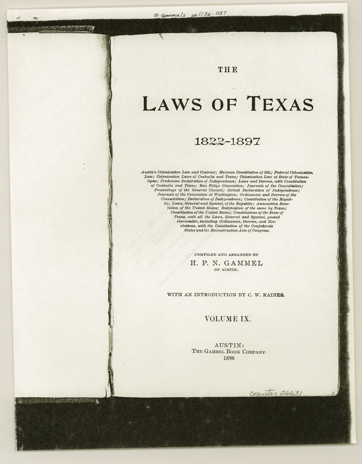
[Copy of Laws of Texas from Gammels and reports from Supreme Court]
-
Map/Doc
26631
-
Collection
General Map Collection
-
Object Dates
1880 (Creation Date)
1/9/1989 (File Date)
1855 (Survey Date)
12/1849 (Survey Date)
6/9/1858 (File Date)
6/16/1858 (File Date)
-
People and Organizations
The Gammel Book Company (Publisher)
J.D. McCamant (Surveyor/Engineer)
-
Counties
Hood
-
Subjects
Surveying Sketch File
-
Height x Width
11.6 x 9.0 inches
29.5 x 22.9 cm
-
Medium
paper, photocopy
Part of: General Map Collection
Roberts County Working Sketch 13

Print $20.00
- Digital $50.00
Roberts County Working Sketch 13
1971
Size 20.2 x 16.0 inches
Map/Doc 63539
Swisher County Sketch File 3

Print $20.00
- Digital $50.00
Swisher County Sketch File 3
1896
Size 17.2 x 16.1 inches
Map/Doc 12403
Carson County Sketch File 4

Print $4.00
- Digital $50.00
Carson County Sketch File 4
1901
Size 9.7 x 6.2 inches
Map/Doc 17351
Loving County Working Sketch 22

Print $20.00
- Digital $50.00
Loving County Working Sketch 22
1984
Size 18.3 x 34.9 inches
Map/Doc 70656
Floyd County Sketch File 34

Print $4.00
- Digital $50.00
Floyd County Sketch File 34
1892
Size 11.3 x 8.9 inches
Map/Doc 22798

Anderson County Working Sketch 47

Print $40.00
- Digital $50.00
Anderson County Working Sketch 47
2012
Size 49.1 x 37.0 inches
Map/Doc 93396
Foard County Working Sketch 10

Print $20.00
- Digital $50.00
Foard County Working Sketch 10
1977
Size 32.0 x 43.7 inches
Map/Doc 69201
Liberty County Sketch File 63

Print $138.00
- Digital $50.00
Liberty County Sketch File 63
1983
Size 11.1 x 8.8 inches
Map/Doc 30087
Crockett County Rolled Sketch 90

Print $20.00
- Digital $50.00
Crockett County Rolled Sketch 90
1975
Size 25.4 x 37.3 inches
Map/Doc 5631
Leon County Rolled Sketch 26

Print $40.00
- Digital $50.00
Leon County Rolled Sketch 26
Size 24.0 x 54.5 inches
Map/Doc 9435
Hood County Rolled Sketch 8

Print $20.00
- Digital $50.00
Hood County Rolled Sketch 8
2011
Size 19.3 x 24.5 inches
Map/Doc 90084
You may also like
The Range and Ranch Cattle Area of the United States

Print $20.00
- Digital $50.00
The Range and Ranch Cattle Area of the United States
1884
Size 26.4 x 27.2 inches
Map/Doc 94077
Archer County Working Sketch 25

Print $20.00
- Digital $50.00
Archer County Working Sketch 25
Size 24.9 x 33.1 inches
Map/Doc 78188
Cass County Rolled Sketch 5A

Print $20.00
- Digital $50.00
Cass County Rolled Sketch 5A
Size 15.4 x 18.0 inches
Map/Doc 5411
Chambers County Rolled Sketch 11

Print $20.00
- Digital $50.00
Chambers County Rolled Sketch 11
Size 20.0 x 26.5 inches
Map/Doc 5424

Hill County Sketch file 28

Print $33.00
- Digital $50.00
Hill County Sketch file 28
1987
Size 11.3 x 8.9 inches
Map/Doc 26530
Kendall County Sketch File 18

Print $4.00
- Digital $50.00
Kendall County Sketch File 18
1882
Size 10.0 x 6.7 inches
Map/Doc 28711
San Patricio County Sketch File 49

Print $84.00
- Digital $50.00
San Patricio County Sketch File 49
1934
Size 9.1 x 11.4 inches
Map/Doc 36329
Kimble County Working Sketch 69

Print $20.00
- Digital $50.00
Kimble County Working Sketch 69
1965
Size 42.4 x 30.5 inches
Map/Doc 70137
From Citizens of Montgomery County for the Creation of a New County to be Called Bowie, January 18, 1838

Print $20.00
From Citizens of Montgomery County for the Creation of a New County to be Called Bowie, January 18, 1838
2020
Size 19.1 x 21.7 inches
Map/Doc 96376
Hemphill County Sketch File 6a

Print $10.00
- Digital $50.00
Hemphill County Sketch File 6a
1903
Size 9.2 x 6.1 inches
Map/Doc 26303
St. Louis, Brownsville & Mexico Railway Location Map from Mile 40 to Mile 60

Print $40.00
- Digital $50.00
St. Louis, Brownsville & Mexico Railway Location Map from Mile 40 to Mile 60
1905
Size 20.3 x 136.1 inches
Map/Doc 89282