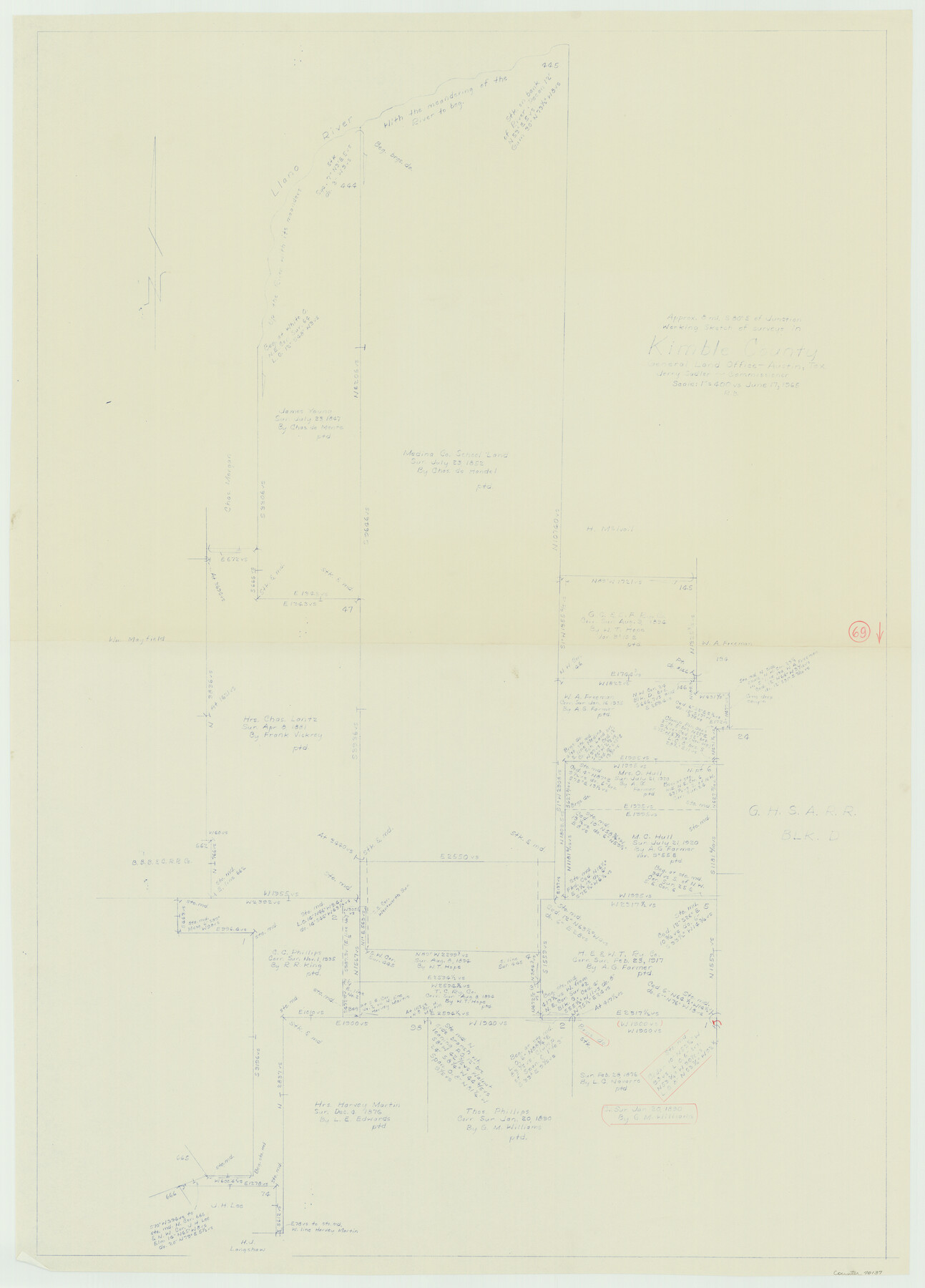
Kimble County Working Sketch 69
-
Map/Doc
70137
-
Collection
General Map Collection
-
Object Dates
6/17/1965 (Creation Date)
-
People and Organizations
Roy Buckholts (Draftsman)
-
Counties
Kimble
-
Subjects
Surveying Working Sketch
-
Height x Width
42.4 x 30.5 inches
107.7 x 77.5 cm
-
Scale
1" = 400 varas
Part of: General Map Collection
Dallas County Working Sketch 14

Print $20.00
- Digital $50.00
Dallas County Working Sketch 14
1987
Size 31.2 x 21.7 inches
Map/Doc 68580
Wichita County Working Sketch 10

Print $20.00
- Digital $50.00
Wichita County Working Sketch 10
1920
Size 25.4 x 16.1 inches
Map/Doc 72519

Glasscock County Sketch File 6

Print $6.00
- Digital $50.00
Glasscock County Sketch File 6
1929
Size 14.8 x 10.9 inches
Map/Doc 24164
Andrews County Working Sketch 19

Print $20.00
- Digital $50.00
Andrews County Working Sketch 19
1964
Size 24.9 x 23.5 inches
Map/Doc 67065
Refugio County Working Sketch 5

Print $20.00
- Digital $50.00
Refugio County Working Sketch 5
1938
Size 36.5 x 42.2 inches
Map/Doc 63514
Delta County Working Sketch 3

Print $20.00
- Digital $50.00
Delta County Working Sketch 3
1963
Size 24.9 x 24.4 inches
Map/Doc 68640
A Sketch of the Vice Royalty exhibiting the several Provinces and its Aproximation [sic] to the Internal Provinces of New Spain
![95157, A Sketch of the Vice Royalty exhibiting the several Provinces and its Aproximation [sic] to the Internal Provinces of New Spain, General Map Collection](https://historictexasmaps.com/wmedia_w700/maps/95157.tif.jpg)
Print $20.00
- Digital $50.00
A Sketch of the Vice Royalty exhibiting the several Provinces and its Aproximation [sic] to the Internal Provinces of New Spain
1810
Size 15.2 x 21.1 inches
Map/Doc 95157
Presidio County Working Sketch 89

Print $20.00
- Digital $50.00
Presidio County Working Sketch 89
1972
Size 28.8 x 37.5 inches
Map/Doc 71766
Newton County Working Sketch 13

Print $20.00
- Digital $50.00
Newton County Working Sketch 13
1946
Size 34.4 x 34.2 inches
Map/Doc 71259
Hudspeth County Rolled Sketch 64

Print $40.00
- Digital $50.00
Hudspeth County Rolled Sketch 64
1986
Size 39.1 x 81.9 inches
Map/Doc 9228
Fannin County Sketch File 20b

Print $4.00
- Digital $50.00
Fannin County Sketch File 20b
1890
Size 14.2 x 8.9 inches
Map/Doc 22485
You may also like
Brazoria County NRC Article 33.136 Sketch 14

Print $36.00
- Digital $50.00
Brazoria County NRC Article 33.136 Sketch 14
2013
Size 24.0 x 36.0 inches
Map/Doc 95057
Bailey County Sketch File 16

Print $8.00
- Digital $50.00
Bailey County Sketch File 16
1941
Size 14.2 x 8.7 inches
Map/Doc 13977
University Lands, Hudspeth County, Texas, Blocks A to N

Print $40.00
- Digital $50.00
University Lands, Hudspeth County, Texas, Blocks A to N
1935
Size 39.0 x 55.5 inches
Map/Doc 2413
San Patricio County Sketch File 53

Print $12.00
- Digital $50.00
San Patricio County Sketch File 53
1995
Size 11.3 x 8.8 inches
Map/Doc 36388
Kimble County Working Sketch 51

Print $20.00
- Digital $50.00
Kimble County Working Sketch 51
1953
Size 36.3 x 40.1 inches
Map/Doc 70119
[Blocks M-21, Z, and E. L. & RR. Block L]
![91151, [Blocks M-21, Z, and E. L. & RR. Block L], Twichell Survey Records](https://historictexasmaps.com/wmedia_w700/maps/91151-1.tif.jpg)
Print $20.00
- Digital $50.00
[Blocks M-21, Z, and E. L. & RR. Block L]
Size 14.5 x 17.9 inches
Map/Doc 91151
King County Working Sketch 9

Print $20.00
- Digital $50.00
King County Working Sketch 9
1955
Size 34.1 x 22.7 inches
Map/Doc 70173
[Jesse Folk and Surrounding Surveys]
![91086, [Jesse Folk and Surrounding Surveys], Twichell Survey Records](https://historictexasmaps.com/wmedia_w700/maps/91086-1.tif.jpg)
Print $20.00
- Digital $50.00
[Jesse Folk and Surrounding Surveys]
Size 14.9 x 18.3 inches
Map/Doc 91086
Crockett County Working Sketch 21

Print $20.00
- Digital $50.00
Crockett County Working Sketch 21
1920
Size 18.5 x 24.8 inches
Map/Doc 68354
Flight Mission No. DIX-7P, Frame 93, Aransas County

Print $20.00
- Digital $50.00
Flight Mission No. DIX-7P, Frame 93, Aransas County
1956
Size 18.6 x 22.6 inches
Map/Doc 83887
Zavalla [sic] County
![16938, Zavalla [sic] County, General Map Collection](https://historictexasmaps.com/wmedia_w700/maps/16938-1.tif.jpg)
Print $20.00
- Digital $50.00
Zavalla [sic] County
1894
Size 42.3 x 44.6 inches
Map/Doc 16938
San Patricio County Sketch File 16

Print $4.00
San Patricio County Sketch File 16
1880
Size 12.9 x 8.0 inches
Map/Doc 36064