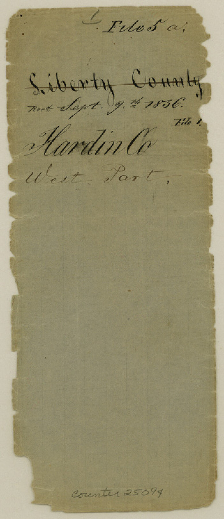
Hardin County Sketch File 5a
[Sketch and connection to the Sapp survey]
-
Map/Doc
25094
-
Collection
General Map Collection
-
Object Dates
1854/8/9 (Correspondence Date)
-
People and Organizations
H. Jackson (Surveyor/Engineer)
-
Counties
Hardin
-
Subjects
Surveying Sketch File
-
Height x Width
8.1 x 3.5 inches
20.6 x 8.9 cm
-
Medium
paper, manuscript
Part of: General Map Collection
Tarrant County Boundary File 2

Print $6.00
- Digital $50.00
Tarrant County Boundary File 2
Size 14.4 x 9.0 inches
Map/Doc 59111
Cameron County Sketch File 12

Print $222.00
- Digital $50.00
Cameron County Sketch File 12
Size 10.8 x 7.4 inches
Map/Doc 17236
Flight Mission No. BQY-15M, Frame 3, Harris County

Print $20.00
- Digital $50.00
Flight Mission No. BQY-15M, Frame 3, Harris County
1953
Size 18.7 x 22.5 inches
Map/Doc 85301
Gillespie County

Print $40.00
- Digital $50.00
Gillespie County
1945
Size 41.0 x 50.0 inches
Map/Doc 95507
United States Bathymetric and Fishing Maps including Topographic/Bathymetric Maps

Print $40.00
- Digital $50.00
United States Bathymetric and Fishing Maps including Topographic/Bathymetric Maps
1989
Size 21.8 x 54.8 inches
Map/Doc 73556
Young County Boundary File 98a

Print $32.00
- Digital $50.00
Young County Boundary File 98a
Size 10.2 x 8.0 inches
Map/Doc 60211
Orange County Working Sketch Graphic Index - sheet B

Print $20.00
- Digital $50.00
Orange County Working Sketch Graphic Index - sheet B
1921
Size 25.2 x 30.2 inches
Map/Doc 88744
Hale County Sketch File 20

Print $6.00
- Digital $50.00
Hale County Sketch File 20
Size 15.7 x 10.5 inches
Map/Doc 24753
Hockley County Sketch File 19

Print $20.00
- Digital $50.00
Hockley County Sketch File 19
1944
Size 14.9 x 25.8 inches
Map/Doc 11775
Reeves County Working Sketch 2

Print $20.00
- Digital $50.00
Reeves County Working Sketch 2
1903
Size 22.6 x 42.4 inches
Map/Doc 63444
Flight Mission No. BRE-1P, Frame 129, Nueces County

Print $20.00
- Digital $50.00
Flight Mission No. BRE-1P, Frame 129, Nueces County
1956
Size 18.5 x 22.6 inches
Map/Doc 86695
Railroad and County Map of Texas prepared and published as a supplement to the Texas Almanac and State Industrial Guide

Print $20.00
- Digital $50.00
Railroad and County Map of Texas prepared and published as a supplement to the Texas Almanac and State Industrial Guide
1910
Size 22.2 x 23.1 inches
Map/Doc 95353
You may also like
Stonewall County Rolled Sketch 18

Print $20.00
- Digital $50.00
Stonewall County Rolled Sketch 18
1950
Size 27.4 x 29.4 inches
Map/Doc 7872
Coke County Sketch File 13

Print $40.00
- Digital $50.00
Coke County Sketch File 13
Size 17.5 x 13.1 inches
Map/Doc 18596
Exhibit G Robert Violette M. A. 34719 Gaines County, Texas

Print $40.00
- Digital $50.00
Exhibit G Robert Violette M. A. 34719 Gaines County, Texas
Size 56.1 x 23.2 inches
Map/Doc 89683
St. Louis, Brownsville & Mexico Railway Location Map from Mile 120 to Rio Grande

Print $40.00
- Digital $50.00
St. Louis, Brownsville & Mexico Railway Location Map from Mile 120 to Rio Grande
1905
Size 19.6 x 67.7 inches
Map/Doc 64170
Edwards County Sketch File 34

Print $20.00
- Digital $50.00
Edwards County Sketch File 34
Size 16.8 x 19.0 inches
Map/Doc 11434
Map of Nolan County

Print $20.00
- Digital $50.00
Map of Nolan County
1896
Size 28.8 x 23.5 inches
Map/Doc 3915
Wilbarger County Working Sketch 3

Print $20.00
- Digital $50.00
Wilbarger County Working Sketch 3
1923
Size 22.0 x 23.9 inches
Map/Doc 72541
Brazos River Conservation and Reclamation District Official Boundary Line Survey

Print $20.00
- Digital $50.00
Brazos River Conservation and Reclamation District Official Boundary Line Survey
Size 37.2 x 24.7 inches
Map/Doc 90183
Grayson County Working Sketch 20

Print $20.00
- Digital $50.00
Grayson County Working Sketch 20
1956
Size 25.4 x 31.3 inches
Map/Doc 63259
Plat of a survey on Padre Island in Cameron County surveyed for South Padre Development Corporation by Claunch and Associates

Print $40.00
- Digital $50.00
Plat of a survey on Padre Island in Cameron County surveyed for South Padre Development Corporation by Claunch and Associates
1970
Size 61.8 x 40.0 inches
Map/Doc 61429
Flight Mission No. BQR-3K, Frame 151, Brazoria County

Print $20.00
- Digital $50.00
Flight Mission No. BQR-3K, Frame 151, Brazoria County
1952
Size 18.7 x 22.4 inches
Map/Doc 83978
The Republic County of Shelby. January 30, 1841

Print $20.00
The Republic County of Shelby. January 30, 1841
2020
Size 20.0 x 21.7 inches
Map/Doc 96282