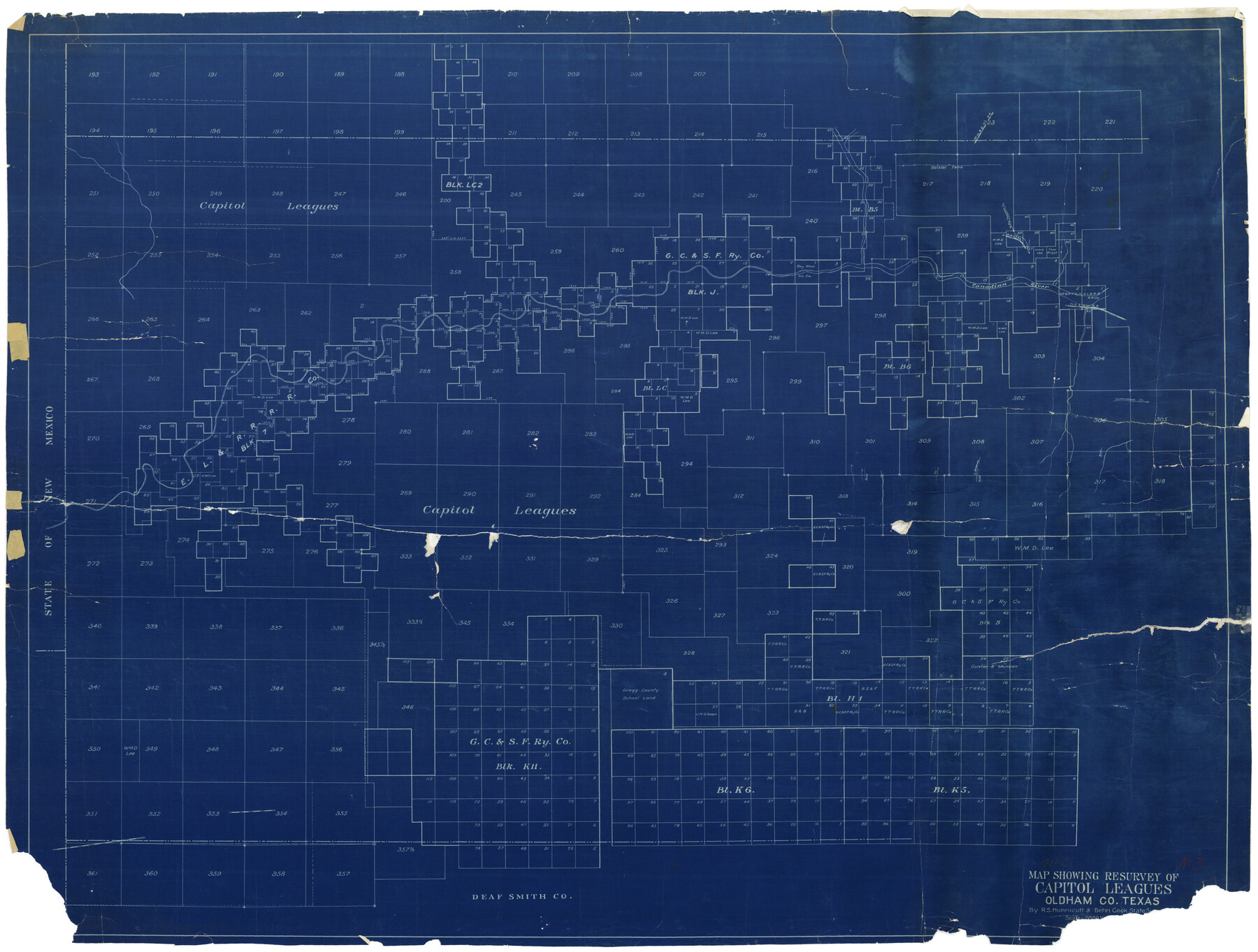
Map showing resurvey of Capitol Leagues, Oldham Co., Texas
N-2-39
-
Map/Doc
1755
-
Collection
General Map Collection
-
Object Dates
1918 (Creation Date)
10/26/1918 (File Date)
-
People and Organizations
Behn Cook (Surveyor/Engineer)
R.S. Hunnicut (Surveyor/Engineer)
-
Counties
Oldham
-
Height x Width
38.6 x 51.0 inches
98.0 x 129.5 cm
Part of: General Map Collection
Flight Mission No. DQN-1K, Frame 122, Calhoun County

Print $20.00
- Digital $50.00
Flight Mission No. DQN-1K, Frame 122, Calhoun County
1953
Size 18.5 x 22.2 inches
Map/Doc 84188
Pecos County Working Sketch 106

Print $40.00
- Digital $50.00
Pecos County Working Sketch 106
1971
Size 64.9 x 38.1 inches
Map/Doc 71579
Parker County Working Sketch 25

Print $20.00
- Digital $50.00
Parker County Working Sketch 25
2008
Map/Doc 88836
Foard County Rolled Sketch 13

Print $20.00
- Digital $50.00
Foard County Rolled Sketch 13
1958
Size 25.2 x 31.4 inches
Map/Doc 5887
Dawson County Sketch File 1

Print $6.00
- Digital $50.00
Dawson County Sketch File 1
Size 7.5 x 3.9 inches
Map/Doc 20495
Anderson County Sketch File 32

Print $4.00
- Digital $50.00
Anderson County Sketch File 32
2002
Size 11.3 x 8.8 inches
Map/Doc 78312
Upton County Rolled Sketch 27

Print $40.00
- Digital $50.00
Upton County Rolled Sketch 27
1945
Size 42.1 x 62.1 inches
Map/Doc 10046
Wise County Sketch File 52

Print $20.00
- Digital $50.00
Wise County Sketch File 52
1982
Size 14.2 x 8.6 inches
Map/Doc 40619
Flight Mission No. CUG-3P, Frame 165, Kleberg County

Print $20.00
- Digital $50.00
Flight Mission No. CUG-3P, Frame 165, Kleberg County
1956
Size 18.5 x 22.2 inches
Map/Doc 86285
Deaf Smith Co.

Print $20.00
- Digital $50.00
Deaf Smith Co.
1910
Size 20.2 x 28.1 inches
Map/Doc 1767
Zavala County Sketch File 20

Print $4.00
- Digital $50.00
Zavala County Sketch File 20
1911
Size 9.1 x 8.2 inches
Map/Doc 41374
Red River County Working Sketch 8

Print $20.00
- Digital $50.00
Red River County Working Sketch 8
1920
Size 16.2 x 14.2 inches
Map/Doc 71991
You may also like
William T. Brewster and Surrounding Surveys]
![91024, William T. Brewster and Surrounding Surveys], Twichell Survey Records](https://historictexasmaps.com/wmedia_w700/maps/91024-1.tif.jpg)
Print $20.00
- Digital $50.00
William T. Brewster and Surrounding Surveys]
Size 20.3 x 36.8 inches
Map/Doc 91024
Clay County Sketch File 49

Print $78.00
- Digital $50.00
Clay County Sketch File 49
1928
Size 14.2 x 8.8 inches
Map/Doc 18500
Stieler Map of 1879

Print $4.00
- Digital $50.00
Stieler Map of 1879
1879
Size 28.9 x 23.0 inches
Map/Doc 76057
Johnson County Boundary File 51

Print $66.00
- Digital $50.00
Johnson County Boundary File 51
Size 8.5 x 4.2 inches
Map/Doc 55589
Brazoria County Rolled Sketch 41

Print $20.00
- Digital $50.00
Brazoria County Rolled Sketch 41
Size 30.3 x 21.3 inches
Map/Doc 5176
Flight Mission No. BRA-16M, Frame 131, Jefferson County

Print $20.00
- Digital $50.00
Flight Mission No. BRA-16M, Frame 131, Jefferson County
1953
Size 18.4 x 22.5 inches
Map/Doc 85741
Harris County Sketch File 23

Print $4.00
- Digital $50.00
Harris County Sketch File 23
Size 8.5 x 6.2 inches
Map/Doc 25377
Flight Mission No. DIX-8P, Frame 84, Aransas County

Print $20.00
- Digital $50.00
Flight Mission No. DIX-8P, Frame 84, Aransas County
1956
Size 18.6 x 22.3 inches
Map/Doc 83909
[Sketch for Mineral Application 33721 - 33725 Incl. - Padre and Mustang Island]
![2874, [Sketch for Mineral Application 33721 - 33725 Incl. - Padre and Mustang Island], General Map Collection](https://historictexasmaps.com/wmedia_w700/maps/2874.tif.jpg)
Print $20.00
- Digital $50.00
[Sketch for Mineral Application 33721 - 33725 Incl. - Padre and Mustang Island]
1941
Size 40.2 x 22.8 inches
Map/Doc 2874
Map of Bexar County

Print $20.00
- Digital $50.00
Map of Bexar County
1896
Size 46.2 x 39.9 inches
Map/Doc 4766
Webb County Sketch File 8b

Print $28.00
- Digital $50.00
Webb County Sketch File 8b
1877
Size 12.9 x 8.2 inches
Map/Doc 39745
Guadalupe County Sketch File 21

Print $6.00
- Digital $50.00
Guadalupe County Sketch File 21
Size 9.9 x 8.5 inches
Map/Doc 24702