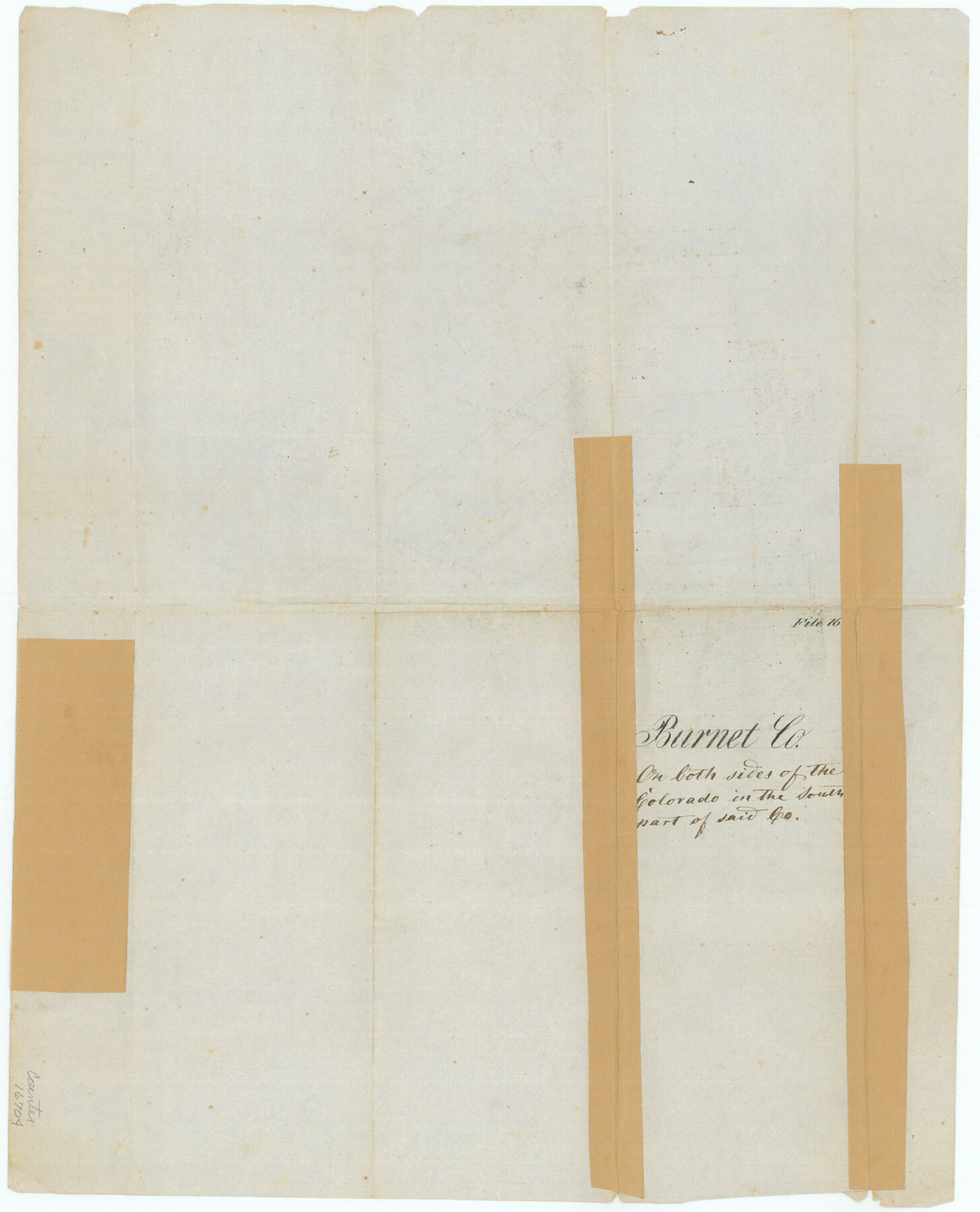
Burnet County Sketch File 16
[Sketch of large area on both sides of the Colorado River in the south part of the county]
-
Map/Doc
16704
-
Collection
General Map Collection
-
Counties
Burnet
-
Subjects
Surveying Sketch File
-
Height x Width
15.8 x 12.8 inches
40.1 x 32.5 cm
-
Medium
paper, manuscript
-
Features
Road from Fort Mead to Fort Croghan
Colorado River
Hamilton's Creek
Backbon [sic] Creek
Toyah Creek
Sandy Creek
Pecan Creek
Tiger Creek
Stick Rock Creek
Flat Rock Creek
Double Horn Creek
Love Creek
Little Cypress Creek
Deep Creek
Part of: General Map Collection
Flight Mission No. CRC-4R, Frame 149, Chambers County

Print $20.00
- Digital $50.00
Flight Mission No. CRC-4R, Frame 149, Chambers County
1956
Size 18.7 x 22.4 inches
Map/Doc 84912
Flight Mission No. BRA-6M, Frame 143, Jefferson County

Print $20.00
- Digital $50.00
Flight Mission No. BRA-6M, Frame 143, Jefferson County
1953
Size 18.5 x 22.2 inches
Map/Doc 85444
Aransas County Rolled Sketch 27D

Print $20.00
- Digital $50.00
Aransas County Rolled Sketch 27D
1930
Size 40.5 x 40.2 inches
Map/Doc 8418
Mills County Boundary File 6

Print $2.00
- Digital $50.00
Mills County Boundary File 6
Size 11.0 x 8.6 inches
Map/Doc 57311
Montague County Rolled Sketch 1

Print $20.00
- Digital $50.00
Montague County Rolled Sketch 1
Size 31.7 x 26.9 inches
Map/Doc 6786
Runnels County Sketch File 27

Print $6.00
Runnels County Sketch File 27
1949
Size 11.5 x 8.9 inches
Map/Doc 35490
Irion County Boundary File 2

Print $60.00
- Digital $50.00
Irion County Boundary File 2
Size 14.3 x 8.9 inches
Map/Doc 55327
Harris County Working Sketch 128

Print $20.00
- Digital $50.00
Harris County Working Sketch 128
1996
Size 15.0 x 14.0 inches
Map/Doc 66020
Harris County Working Sketch 65

Print $20.00
- Digital $50.00
Harris County Working Sketch 65
1955
Size 29.5 x 28.6 inches
Map/Doc 65957
Val Verde County Working Sketch Graphic Index, Sheet 3 (Sketches 89 to Most Recent)

Print $20.00
- Digital $50.00
Val Verde County Working Sketch Graphic Index, Sheet 3 (Sketches 89 to Most Recent)
1944
Size 40.3 x 36.6 inches
Map/Doc 76726
Controlled Mosaic by Jack Amman Photogrammetric Engineers, Inc - Sheet 50

Print $20.00
- Digital $50.00
Controlled Mosaic by Jack Amman Photogrammetric Engineers, Inc - Sheet 50
1954
Size 20.0 x 24.0 inches
Map/Doc 83509
List of County School Lands

Print $20.00
- Digital $50.00
List of County School Lands
Size 17.7 x 23.2 inches
Map/Doc 65797
You may also like
Flight Mission No. BRA-16M, Frame 91, Jefferson County

Print $20.00
- Digital $50.00
Flight Mission No. BRA-16M, Frame 91, Jefferson County
1953
Size 18.7 x 22.5 inches
Map/Doc 85703

Cooke County Rolled Sketch 2

Print $20.00
- Digital $50.00
Cooke County Rolled Sketch 2
1944
Size 29.4 x 28.1 inches
Map/Doc 5561
Cochran County

Print $20.00
- Digital $50.00
Cochran County
1899
Size 41.1 x 34.1 inches
Map/Doc 66755
Val Verde County Sketch File A1

Print $6.00
- Digital $50.00
Val Verde County Sketch File A1
1895
Size 14.4 x 9.2 inches
Map/Doc 39038
Andrews County Rolled Sketch 6

Print $40.00
- Digital $50.00
Andrews County Rolled Sketch 6
1928
Size 43.9 x 56.9 inches
Map/Doc 8363
Hutchinson County Rolled Sketch 44-8

Print $20.00
- Digital $50.00
Hutchinson County Rolled Sketch 44-8
2002
Size 24.0 x 36.0 inches
Map/Doc 77544
Flight Mission No. BQY-15M, Frame 20, Harris County

Print $20.00
- Digital $50.00
Flight Mission No. BQY-15M, Frame 20, Harris County
1953
Size 18.6 x 22.3 inches
Map/Doc 85318
Childress County Sketch File 21

Print $10.00
- Digital $50.00
Childress County Sketch File 21
1896
Size 9.1 x 5.8 inches
Map/Doc 18298

Montgomery County Working Sketch 76

Print $20.00
- Digital $50.00
Montgomery County Working Sketch 76
Size 16.5 x 18.3 inches
Map/Doc 78191
Jackson County Sketch File 23

Print $6.00
- Digital $50.00
Jackson County Sketch File 23
1949
Size 11.2 x 8.6 inches
Map/Doc 27703