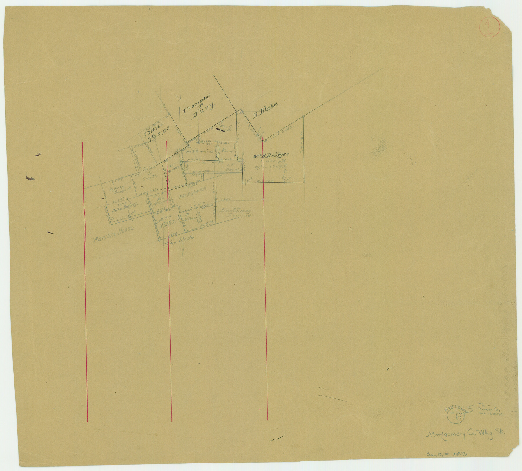
Montgomery County Working Sketch 76
-
Map/Doc
78191
-
Collection
General Map Collection
-
Counties
Montgomery
-
Subjects
Surveying Working Sketch
-
Height x Width
16.5 x 18.3 inches
41.9 x 46.5 cm
Part of: General Map Collection
Travis County Appraisal District Plat Map 3_0721

Print $20.00
- Digital $50.00
Travis County Appraisal District Plat Map 3_0721
Size 21.5 x 26.3 inches
Map/Doc 94227
Harris County Sketch File A1

Print $20.00
- Digital $50.00
Harris County Sketch File A1
Size 12.3 x 15.2 inches
Map/Doc 25308
Reagan County Sketch File 2B

Print $20.00
- Digital $50.00
Reagan County Sketch File 2B
Size 20.4 x 22.2 inches
Map/Doc 12212
Uvalde County Sketch File 23A

Print $20.00
- Digital $50.00
Uvalde County Sketch File 23A
1923
Size 18.4 x 23.0 inches
Map/Doc 12535
Map of Texas and Pacific Ry. Company's Surveys in the 80 Mile Reserve

Print $40.00
- Digital $50.00
Map of Texas and Pacific Ry. Company's Surveys in the 80 Mile Reserve
1885
Size 41.5 x 91.8 inches
Map/Doc 60313
Navarro County

Print $40.00
- Digital $50.00
Navarro County
1924
Size 42.5 x 50.6 inches
Map/Doc 66951
Flight Mission No. BRE-1P, Frame 122, Nueces County

Print $20.00
- Digital $50.00
Flight Mission No. BRE-1P, Frame 122, Nueces County
1956
Size 18.7 x 22.7 inches
Map/Doc 86688
Calhoun County Working Sketch 14

Print $20.00
- Digital $50.00
Calhoun County Working Sketch 14
1991
Size 28.7 x 33.9 inches
Map/Doc 67830
Jasper County Working Sketch 35

Print $20.00
- Digital $50.00
Jasper County Working Sketch 35
2008
Size 28.5 x 40.0 inches
Map/Doc 88733

Harris County Working Sketch 118

Print $20.00
- Digital $50.00
Harris County Working Sketch 118
1984
Size 24.1 x 34.8 inches
Map/Doc 66010
Nueces County NRC Article 33.136 Sketch 10

Print $36.00
- Digital $50.00
Nueces County NRC Article 33.136 Sketch 10
2004
Size 23.9 x 35.9 inches
Map/Doc 83526
You may also like
Liberty County Working Sketch 34

Print $20.00
- Digital $50.00
Liberty County Working Sketch 34
1946
Size 26.7 x 21.2 inches
Map/Doc 70493
Harris County Rolled Sketch AA3

Print $20.00
- Digital $50.00
Harris County Rolled Sketch AA3
Size 30.8 x 25.9 inches
Map/Doc 6139
Supreme Court of the United States, October Term, 1924, No. 13, Original - The State of Oklahoma, Complainant vs. The State of Texas, Defendant, The United States, Intervener

Print $20.00
- Digital $50.00
Supreme Court of the United States, October Term, 1924, No. 13, Original - The State of Oklahoma, Complainant vs. The State of Texas, Defendant, The United States, Intervener
1924
Size 22.1 x 38.7 inches
Map/Doc 75130
McMullen County Sketch File 27

Print $4.00
- Digital $50.00
McMullen County Sketch File 27
Size 6.2 x 8.0 inches
Map/Doc 31388
McMullen County Working Sketch 42

Print $20.00
- Digital $50.00
McMullen County Working Sketch 42
1980
Size 35.6 x 32.6 inches
Map/Doc 70743
The Mexican Department of Nacogdoches. Created, January 31, 1831

Print $20.00
The Mexican Department of Nacogdoches. Created, January 31, 1831
2020
Size 18.4 x 21.7 inches
Map/Doc 95972
Nueces County Rolled Sketch 27A

Print $40.00
- Digital $50.00
Nueces County Rolled Sketch 27A
1946
Size 12.4 x 121.3 inches
Map/Doc 9597

Hood County Sketch File 22

Print $6.00
- Digital $50.00
Hood County Sketch File 22
Size 15.7 x 9.3 inches
Map/Doc 26615
Orange County Working Sketch 39

Print $20.00
- Digital $50.00
Orange County Working Sketch 39
1966
Size 20.5 x 27.8 inches
Map/Doc 71371

Hemphill County Working Sketch 20

Print $20.00
- Digital $50.00
Hemphill County Working Sketch 20
1972
Size 34.9 x 47.1 inches
Map/Doc 66115