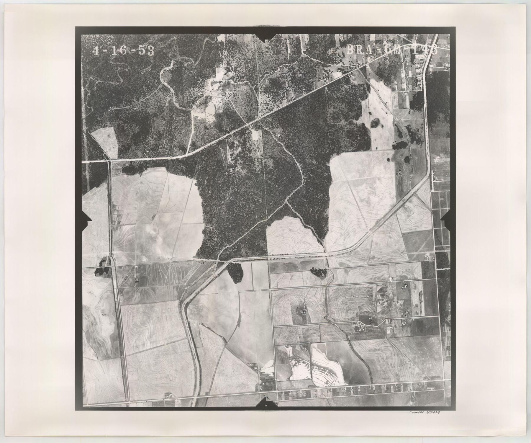
Flight Mission No. BRA-6M, Frame 143, Jefferson County
BRA-6M-143
-
Map/Doc
85444
-
Collection
General Map Collection
-
Object Dates
1953/4/16 (Creation Date)
-
People and Organizations
U. S. Department of Agriculture (Publisher)
-
Counties
Jefferson
-
Subjects
Aerial Photograph
-
Height x Width
18.5 x 22.2 inches
47.0 x 56.4 cm
-
Comments
Flown by Jack Ammann Photogrammetric Engineers of San Antonio, Texas.
Part of: General Map Collection
Trinity County Sketch File 37

Print $4.00
- Digital $50.00
Trinity County Sketch File 37
1921
Size 11.3 x 8.8 inches
Map/Doc 38591
Flight Mission No. CGI-3N, Frame 172, Cameron County

Print $20.00
- Digital $50.00
Flight Mission No. CGI-3N, Frame 172, Cameron County
1954
Size 18.7 x 22.3 inches
Map/Doc 84636
Erath County Working Sketch 50a

Print $20.00
- Digital $50.00
Erath County Working Sketch 50a
Size 43.2 x 37.0 inches
Map/Doc 69131
[Texas Panhandle North Boundary Line]
![1714, [Texas Panhandle North Boundary Line], General Map Collection](https://historictexasmaps.com/wmedia_w700/maps/1714.tif.jpg)
Print $20.00
- Digital $50.00
[Texas Panhandle North Boundary Line]
1898
Size 43.6 x 11.4 inches
Map/Doc 1714
Duval County Working Sketch 41

Print $20.00
- Digital $50.00
Duval County Working Sketch 41
1963
Size 24.1 x 22.9 inches
Map/Doc 68765
Jefferson County Sketch File 14

Print $60.00
- Digital $50.00
Jefferson County Sketch File 14
Size 15.8 x 13.2 inches
Map/Doc 28149
Montgomery County Rolled Sketch 19

Print $40.00
- Digital $50.00
Montgomery County Rolled Sketch 19
1933
Size 50.6 x 30.7 inches
Map/Doc 9529
San Patricio County Sketch File 11

Print $6.00
San Patricio County Sketch File 11
1846
Size 13.3 x 8.3 inches
Map/Doc 36044
Maps of Gulf Intracoastal Waterway, Texas - Sabine River to the Rio Grande and connecting waterways including ship channels

Print $20.00
- Digital $50.00
Maps of Gulf Intracoastal Waterway, Texas - Sabine River to the Rio Grande and connecting waterways including ship channels
1966
Size 15.7 x 22.0 inches
Map/Doc 61983
Val Verde County Working Sketch 107

Print $20.00
- Digital $50.00
Val Verde County Working Sketch 107
Size 32.8 x 43.5 inches
Map/Doc 72242
Glasscock County Sketch File 10

Print $6.00
- Digital $50.00
Glasscock County Sketch File 10
1935
Size 11.6 x 12.8 inches
Map/Doc 24172
Brewster County Rolled Sketch 95

Print $20.00
- Digital $50.00
Brewster County Rolled Sketch 95
1947
Size 29.4 x 38.0 inches
Map/Doc 5252
You may also like
[Sketch of part of G. & M. Block 5]
![93096, [Sketch of part of G. & M. Block 5], Twichell Survey Records](https://historictexasmaps.com/wmedia_w700/maps/93096-1.tif.jpg)
Print $2.00
- Digital $50.00
[Sketch of part of G. & M. Block 5]
Size 8.1 x 9.3 inches
Map/Doc 93096
Acreage in Texas Counties

Print $20.00
- Digital $50.00
Acreage in Texas Counties
1966
Size 47.1 x 25.8 inches
Map/Doc 73594
[Sketch showing the Rio Grande with towns and features annotated]
![72896, [Sketch showing the Rio Grande with towns and features annotated], General Map Collection](https://historictexasmaps.com/wmedia_w700/maps/72896.tif.jpg)
Print $20.00
- Digital $50.00
[Sketch showing the Rio Grande with towns and features annotated]
1854
Size 24.1 x 18.2 inches
Map/Doc 72896
Van Zandt County

Print $20.00
- Digital $50.00
Van Zandt County
1972
Size 45.8 x 40.1 inches
Map/Doc 77446
Edwards County Working Sketch 45

Print $40.00
- Digital $50.00
Edwards County Working Sketch 45
1950
Size 65.4 x 43.4 inches
Map/Doc 68921
Nacogdoches County

Print $40.00
- Digital $50.00
Nacogdoches County
1950
Size 51.0 x 42.4 inches
Map/Doc 66950
Hutchinson County Rolled Sketch 13

Print $20.00
- Digital $50.00
Hutchinson County Rolled Sketch 13
Size 17.8 x 16.7 inches
Map/Doc 6283
Map of Hardin County

Print $20.00
- Digital $50.00
Map of Hardin County
1902
Size 40.8 x 43.9 inches
Map/Doc 4971
Culberson County Rolled Sketch 64

Print $20.00
- Digital $50.00
Culberson County Rolled Sketch 64
1987
Size 24.3 x 19.4 inches
Map/Doc 5680
[Sketch in Edwards & Sutton Counties, Texas]
![4371, [Sketch in Edwards & Sutton Counties, Texas], Maddox Collection](https://historictexasmaps.com/wmedia_w700/maps/4371.tif.jpg)
Print $20.00
- Digital $50.00
[Sketch in Edwards & Sutton Counties, Texas]
Size 16.7 x 30.2 inches
Map/Doc 4371
Nacogdoches County Rolled Sketch 2

Print $20.00
- Digital $50.00
Nacogdoches County Rolled Sketch 2
1949
Size 44.3 x 42.3 inches
Map/Doc 46837
Starr County Rolled Sketch 28

Print $20.00
- Digital $50.00
Starr County Rolled Sketch 28
1941
Size 29.0 x 20.6 inches
Map/Doc 7811