[Surveys in the Bexar District along the Atascosa Creek]
Atlas G, Page 2, Sketch 17 (G-2-17)
G-2-17
-
Map/Doc
163
-
Collection
General Map Collection
-
Object Dates
1847 (Creation Date)
-
People and Organizations
Joseph A. Tivy (Surveyor/Engineer)
-
Counties
Bexar Atascosa
-
Subjects
Atlas
-
Height x Width
16.9 x 11.6 inches
42.9 x 29.5 cm
-
Medium
paper, manuscript
-
Scale
[1:4000]
-
Comments
Conserved in 2004.
-
Features
Medina River
Cottonwood Creek
Attascosa [sic] Creek
Part of: General Map Collection
Upshur County Working Sketch 10a
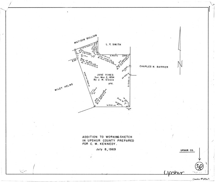

Print $20.00
- Digital $50.00
Upshur County Working Sketch 10a
1969
Size 15.8 x 18.7 inches
Map/Doc 69567
Dimmit County Rolled Sketch 7
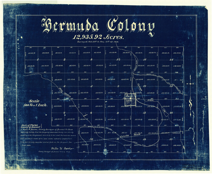

Print $20.00
- Digital $50.00
Dimmit County Rolled Sketch 7
1908
Size 25.0 x 30.5 inches
Map/Doc 5717
Culberson County Rolled Sketch 34
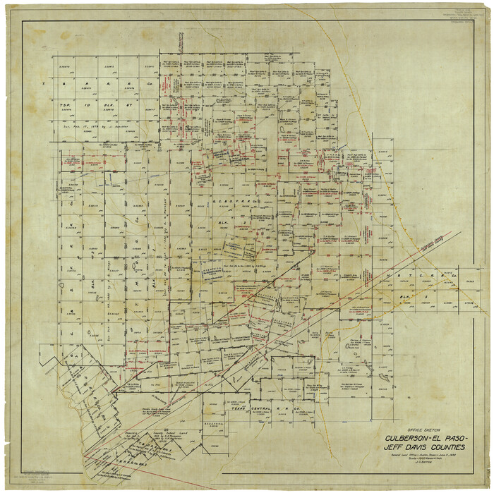

Print $20.00
- Digital $50.00
Culberson County Rolled Sketch 34
1938
Size 43.5 x 43.6 inches
Map/Doc 8749
Wheeler County Working Sketch 19


Print $20.00
- Digital $50.00
Wheeler County Working Sketch 19
1986
Size 33.5 x 31.8 inches
Map/Doc 72508
Irion County Rolled Sketch 7
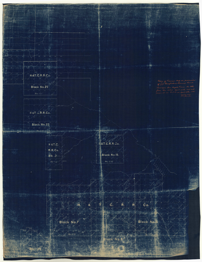

Print $20.00
- Digital $50.00
Irion County Rolled Sketch 7
Size 43.9 x 33.8 inches
Map/Doc 9250
Midland County Boundary File 1
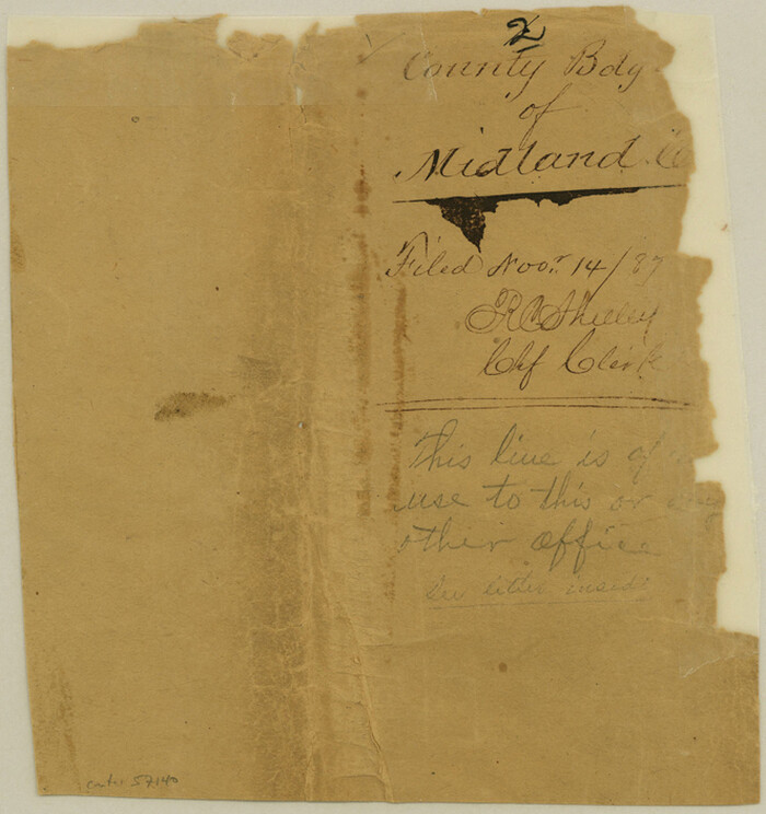

Print $40.00
- Digital $50.00
Midland County Boundary File 1
Size 7.0 x 6.6 inches
Map/Doc 57140
Flight Mission No. CLL-1N, Frame 111, Willacy County


Print $20.00
- Digital $50.00
Flight Mission No. CLL-1N, Frame 111, Willacy County
1954
Size 18.4 x 22.2 inches
Map/Doc 87045
Map of Van Zandt County


Print $20.00
- Digital $50.00
Map of Van Zandt County
1853
Size 19.4 x 20.6 inches
Map/Doc 16957
Edwards County Working Sketch 4


Print $20.00
- Digital $50.00
Edwards County Working Sketch 4
Size 28.7 x 28.3 inches
Map/Doc 68880
Flight Mission No. DCL-7C, Frame 10, Kenedy County
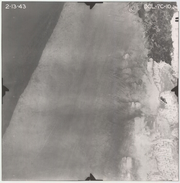

Print $20.00
- Digital $50.00
Flight Mission No. DCL-7C, Frame 10, Kenedy County
1943
Size 15.3 x 15.2 inches
Map/Doc 86002
Cherokee County Sketch File 27
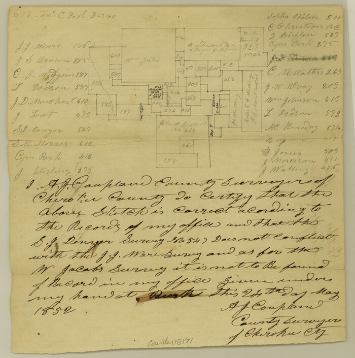

Print $4.00
- Digital $50.00
Cherokee County Sketch File 27
1852
Size 8.3 x 8.2 inches
Map/Doc 18171
Kimble County Working Sketch 8


Print $20.00
- Digital $50.00
Kimble County Working Sketch 8
1918
Size 27.4 x 12.9 inches
Map/Doc 70076
You may also like
San Augustine County Working Sketch 2


Print $20.00
- Digital $50.00
San Augustine County Working Sketch 2
Size 28.5 x 19.1 inches
Map/Doc 63689
Crockett County Sketch File 33
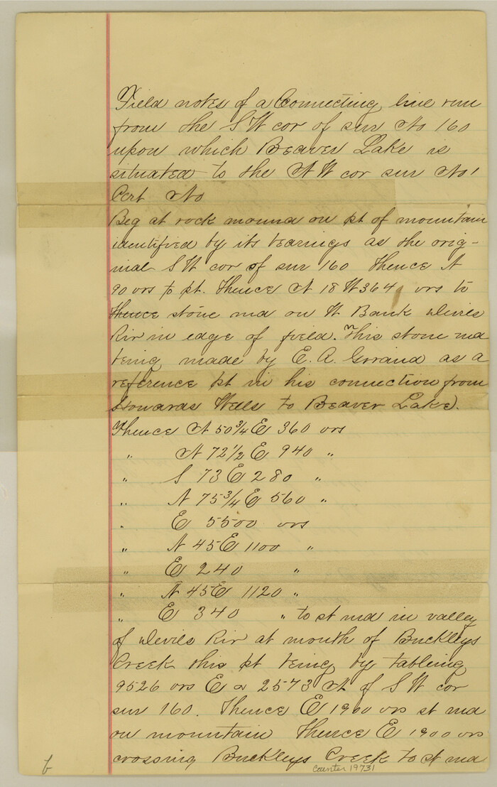

Print $30.00
- Digital $50.00
Crockett County Sketch File 33
1883
Size 13.0 x 8.2 inches
Map/Doc 19731
Starr County Rolled Sketch 10
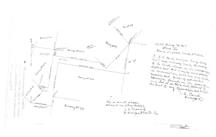

Print $20.00
- Digital $50.00
Starr County Rolled Sketch 10
1912
Size 15.2 x 24.0 inches
Map/Doc 7797
Glasscock County Working Sketch 13
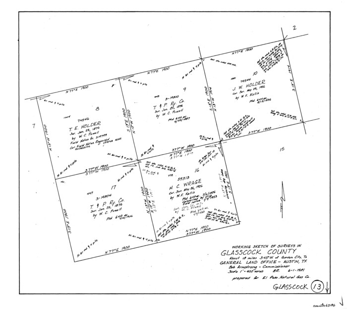

Print $20.00
- Digital $50.00
Glasscock County Working Sketch 13
1981
Size 17.5 x 19.5 inches
Map/Doc 63186
Calhoun County
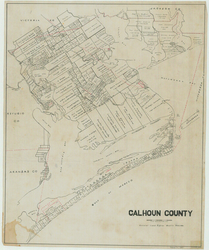

Print $20.00
- Digital $50.00
Calhoun County
1883
Size 22.9 x 19.1 inches
Map/Doc 66741
Garza County Sketch File C2
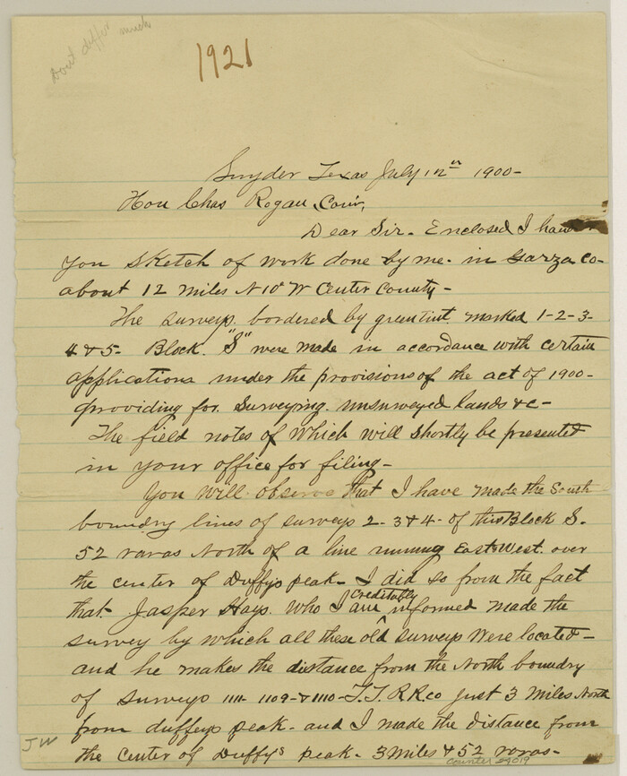

Print $6.00
- Digital $50.00
Garza County Sketch File C2
1900
Size 10.3 x 8.4 inches
Map/Doc 24019
Atascosa County Boundary File 1

Print $14.00
- Digital $50.00
Atascosa County Boundary File 1
Size 12.9 x 8.3 inches
Map/Doc 50153
Preliminary Chart of Galveston Bay, Texas


Print $20.00
- Digital $50.00
Preliminary Chart of Galveston Bay, Texas
1855
Size 20.9 x 17.5 inches
Map/Doc 69868
Polk County Sketch File 7


Print $6.00
- Digital $50.00
Polk County Sketch File 7
1860
Size 12.1 x 7.9 inches
Map/Doc 34131
Somervell County

Print $20.00
- Digital $50.00
Somervell County
1941
Size 25.1 x 24.1 inches
Map/Doc 77424
Dickens County Sketch File 14a


Print $20.00
- Digital $50.00
Dickens County Sketch File 14a
Size 18.2 x 16.5 inches
Map/Doc 11321
The Republic County of Victoria. December 29, 1845

Print $20.00
The Republic County of Victoria. December 29, 1845
2020
Size 24.3 x 21.7 inches
Map/Doc 96301
![163, [Surveys in the Bexar District along the Atascosa Creek], General Map Collection](https://historictexasmaps.com/wmedia_w1800h1800/maps/163.tif.jpg)