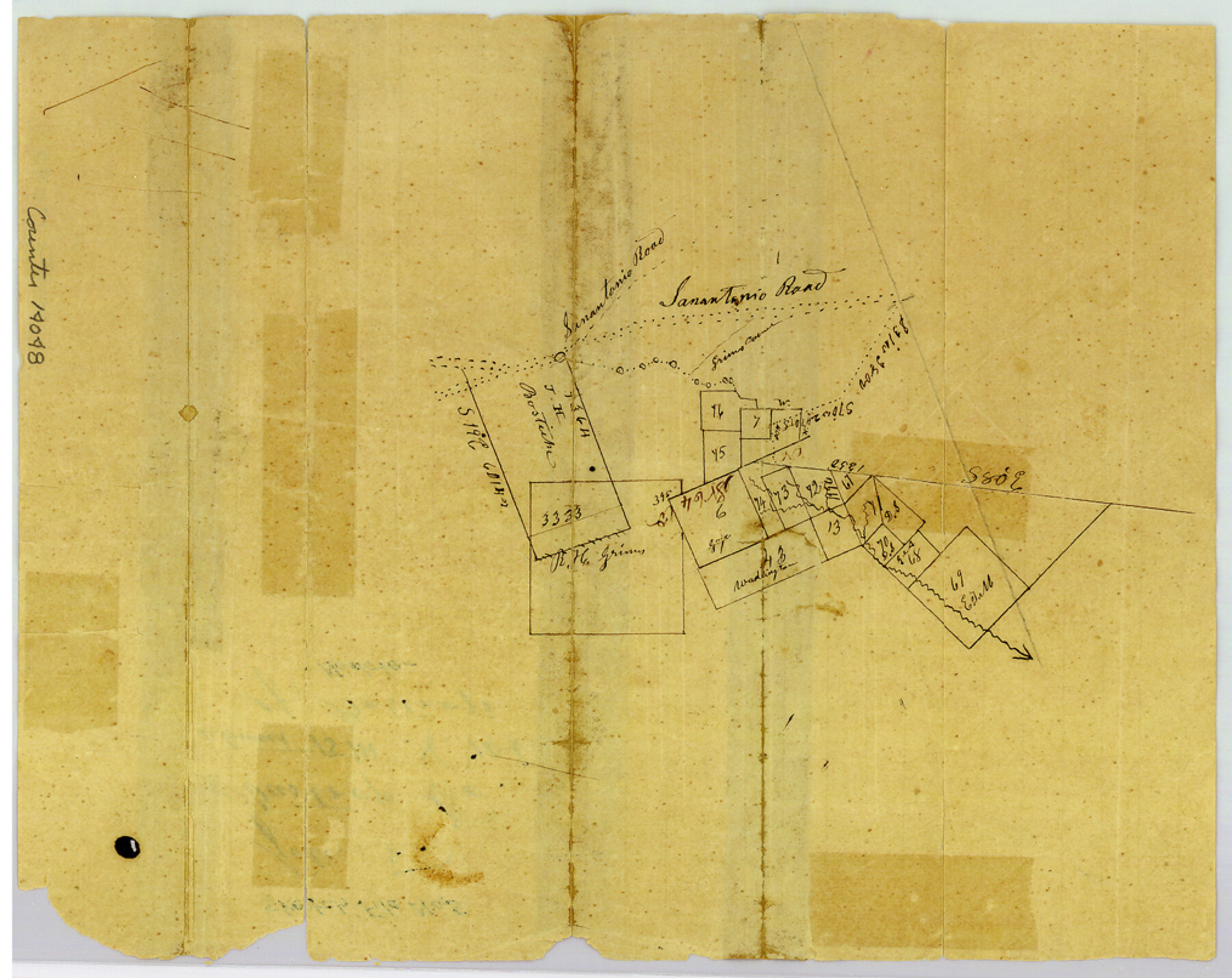
Bastrop County Sketch File 5
[Sketch of surveys near San Antonio Road northeast of Bastrop]
-
Map/Doc
14048
-
Collection
General Map Collection
-
Counties
Bastrop
-
Subjects
Surveying Sketch File
-
Height x Width
8.1 x 10.2 inches
20.6 x 25.9 cm
-
Medium
paper, manuscript
-
Features
San Antonio Road
Spring Creek
Part of: General Map Collection
Kendall County Sketch File 17

Print $4.00
- Digital $50.00
Kendall County Sketch File 17
1878
Size 9.1 x 7.6 inches
Map/Doc 28709
University Lands Blocks 1 to 11 Andrews-Martin-Gaines-Dawson-Winkler Counties

Print $6.00
- Digital $50.00
University Lands Blocks 1 to 11 Andrews-Martin-Gaines-Dawson-Winkler Counties
Size 30.9 x 35.3 inches
Map/Doc 62930
Glasscock County Sketch File 18

Print $8.00
- Digital $50.00
Glasscock County Sketch File 18
1931
Size 9.7 x 6.2 inches
Map/Doc 24192
Eastland County Working Sketch 50

Print $20.00
- Digital $50.00
Eastland County Working Sketch 50
1981
Size 38.7 x 39.6 inches
Map/Doc 68831
Matagorda Bay Including Lavaca and Tres Palacios Bays

Print $40.00
- Digital $50.00
Matagorda Bay Including Lavaca and Tres Palacios Bays
1973
Size 37.0 x 48.4 inches
Map/Doc 73363
Randall County Rolled Sketch 1

Print $20.00
- Digital $50.00
Randall County Rolled Sketch 1
1889
Size 21.1 x 35.1 inches
Map/Doc 9807
Tyler County Sketch File 19

Print $4.00
- Digital $50.00
Tyler County Sketch File 19
Size 3.5 x 6.1 inches
Map/Doc 38670
Gaines County Working Sketch 11

Print $40.00
- Digital $50.00
Gaines County Working Sketch 11
1953
Size 68.4 x 33.4 inches
Map/Doc 69311
Reagan County Rolled Sketch 29B

Print $20.00
- Digital $50.00
Reagan County Rolled Sketch 29B
1955
Size 36.5 x 36.1 inches
Map/Doc 9826
Flight Mission No. CGI-1N, Frame 141, Cameron County

Print $20.00
- Digital $50.00
Flight Mission No. CGI-1N, Frame 141, Cameron County
1955
Size 18.5 x 22.2 inches
Map/Doc 84497
Collin County Sketch File 14

Print $12.00
- Digital $50.00
Collin County Sketch File 14
1953
Size 11.2 x 8.7 inches
Map/Doc 18874
Travels to the source of the Missouri River and across the American Continent to the Pacific Ocean - Vol. 2

Travels to the source of the Missouri River and across the American Continent to the Pacific Ocean - Vol. 2
1815
Map/Doc 97413
You may also like
Map Showing East Part Pecos County, Texas with Blocks 194 and 178 Constructed and Adjusted to the Ground Distance from NE 36 Block 12 H&GN to Pecos Spring and by Original Field Note Calls from Pecos Spring to NE 75 Blk. 1 I&GN

Print $40.00
- Digital $50.00
Map Showing East Part Pecos County, Texas with Blocks 194 and 178 Constructed and Adjusted to the Ground Distance from NE 36 Block 12 H&GN to Pecos Spring and by Original Field Note Calls from Pecos Spring to NE 75 Blk. 1 I&GN
Size 45.0 x 51.4 inches
Map/Doc 89838
Pecos County Sketch File 28

Print $20.00
- Digital $50.00
Pecos County Sketch File 28
1927
Size 23.4 x 21.6 inches
Map/Doc 12168
Freestone County Working Sketch 10

Print $20.00
- Digital $50.00
Freestone County Working Sketch 10
1978
Size 40.6 x 33.1 inches
Map/Doc 69252
Roberts County Working Sketch 3

Print $20.00
- Digital $50.00
Roberts County Working Sketch 3
1949
Size 18.0 x 14.3 inches
Map/Doc 63529
Matagorda County Rolled Sketch 39

Print $40.00
- Digital $50.00
Matagorda County Rolled Sketch 39
1973
Size 24.4 x 114.0 inches
Map/Doc 10743
Brewster County Rolled Sketch 101

Print $40.00
- Digital $50.00
Brewster County Rolled Sketch 101
1927
Size 74.2 x 42.3 inches
Map/Doc 9192
Tarrant County Working Sketch 9

Print $20.00
- Digital $50.00
Tarrant County Working Sketch 9
1986
Size 38.1 x 42.1 inches
Map/Doc 62426
Hudspeth County Working Sketch 40

Print $20.00
- Digital $50.00
Hudspeth County Working Sketch 40
1981
Size 35.6 x 43.8 inches
Map/Doc 66325
Lubbock County Working Sketch 1

Print $20.00
- Digital $50.00
Lubbock County Working Sketch 1
Size 8.7 x 35.3 inches
Map/Doc 70660
Kaufman County

Print $20.00
- Digital $50.00
Kaufman County
1942
Size 44.5 x 36.7 inches
Map/Doc 77335
Harris County Boundary File 39 (15)

Print $8.00
- Digital $50.00
Harris County Boundary File 39 (15)
Size 7.2 x 8.3 inches
Map/Doc 54350
Terrell County Working Sketch 38

Print $40.00
- Digital $50.00
Terrell County Working Sketch 38
1950
Size 89.1 x 24.9 inches
Map/Doc 62131