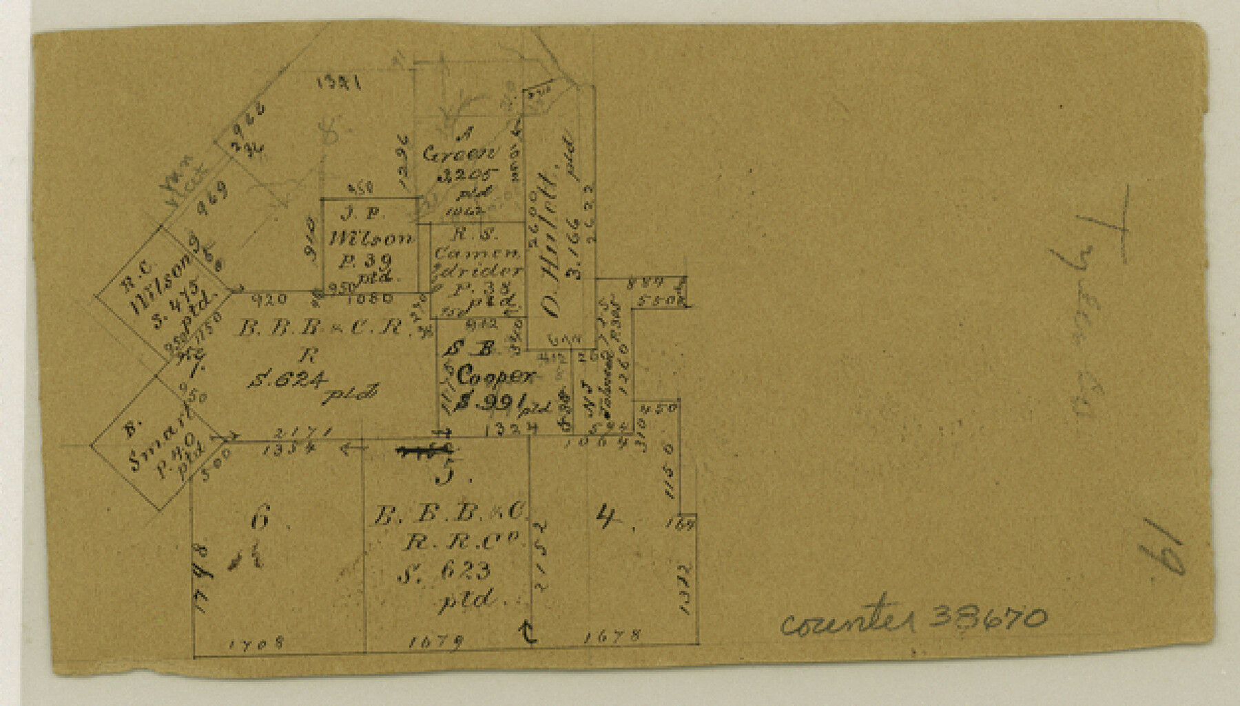
Tyler County Sketch File 19
[Office sketch of B. B. B. & C. R.R. Co. surveys in the north part of the county]
-
Map/Doc
38670
-
Collection
General Map Collection
-
People and Organizations
E. Schutze (Surveyor/Engineer)
-
Counties
Tyler
-
Subjects
Surveying Sketch File
-
Height x Width
3.5 x 6.1 inches
8.9 x 15.5 cm
-
Medium
paper, manuscript
Part of: General Map Collection
Val Verde County Working Sketch 39

Print $20.00
- Digital $50.00
Val Verde County Working Sketch 39
1943
Size 26.0 x 26.5 inches
Map/Doc 72174
Medina County Sketch File 9

Print $6.00
- Digital $50.00
Medina County Sketch File 9
1888
Size 3.9 x 5.7 inches
Map/Doc 31458
Hardeman County

Print $20.00
- Digital $50.00
Hardeman County
1891
Size 24.9 x 19.9 inches
Map/Doc 4560
Crockett County Working Sketch 96

Print $20.00
- Digital $50.00
Crockett County Working Sketch 96
1979
Size 25.5 x 16.9 inches
Map/Doc 68429
Pecos County Sketch File 82

Print $46.00
- Digital $50.00
Pecos County Sketch File 82
1944
Size 14.2 x 8.8 inches
Map/Doc 33927
Calhoun County Working Sketch 13

Print $20.00
- Digital $50.00
Calhoun County Working Sketch 13
1962
Size 28.5 x 31.9 inches
Map/Doc 67829
Throckmorton County Boundary File 4

Print $6.00
- Digital $50.00
Throckmorton County Boundary File 4
Size 14.3 x 8.8 inches
Map/Doc 59283
Travis County Appraisal District Plat Map 4_1301

Print $20.00
- Digital $50.00
Travis County Appraisal District Plat Map 4_1301
Size 21.5 x 26.4 inches
Map/Doc 94213
Shackelford County Boundary File 1

Print $17.00
- Digital $50.00
Shackelford County Boundary File 1
Size 14.0 x 8.7 inches
Map/Doc 58625
Madison County Rolled Sketch 1

Print $20.00
- Digital $50.00
Madison County Rolled Sketch 1
1966
Size 36.7 x 46.0 inches
Map/Doc 9485
Historical Sketch of the Rebellion

Print $20.00
- Digital $50.00
Historical Sketch of the Rebellion
1863
Size 22.4 x 21.0 inches
Map/Doc 96618
Foard County Rolled Sketch 14 1/2

Print $20.00
- Digital $50.00
Foard County Rolled Sketch 14 1/2
1888
Size 20.8 x 37.4 inches
Map/Doc 5889
You may also like
Current Miscellaneous File 41

Print $8.00
- Digital $50.00
Current Miscellaneous File 41
Size 8.2 x 10.8 inches
Map/Doc 73977
Baylor County Boundary File 14

Print $6.00
- Digital $50.00
Baylor County Boundary File 14
Size 11.1 x 8.6 inches
Map/Doc 50428
[Connection to Block M-13]
![93040, [Connection to Block M-13], Twichell Survey Records](https://historictexasmaps.com/wmedia_w700/maps/93040-1.tif.jpg)
Print $40.00
- Digital $50.00
[Connection to Block M-13]
Size 27.1 x 60.0 inches
Map/Doc 93040
[Block 3 Sections 322, 321, 319, Block 1 Section 1]
![92938, [Block 3 Sections 322, 321, 319, Block 1 Section 1], Twichell Survey Records](https://historictexasmaps.com/wmedia_w700/maps/92938-1.tif.jpg)
Print $20.00
- Digital $50.00
[Block 3 Sections 322, 321, 319, Block 1 Section 1]
Size 21.1 x 20.4 inches
Map/Doc 92938
[Sketch showing surveys in Sutton and Val Verde Counties, Texas]
![10779, [Sketch showing surveys in Sutton and Val Verde Counties, Texas], Maddox Collection](https://historictexasmaps.com/wmedia_w700/maps/10779.tif.jpg)
Print $20.00
- Digital $50.00
[Sketch showing surveys in Sutton and Val Verde Counties, Texas]
1880
Size 28.0 x 14.5 inches
Map/Doc 10779
[Office Sketch of Jesse McGee survey in Sabine and Newton Counties]
![543, [Office Sketch of Jesse McGee survey in Sabine and Newton Counties], Maddox Collection](https://historictexasmaps.com/wmedia_w700/maps/543.tif.jpg)
Print $20.00
- Digital $50.00
[Office Sketch of Jesse McGee survey in Sabine and Newton Counties]
1910
Size 13.4 x 15.1 inches
Map/Doc 543
Flight Mission No. BRE-2P, Frame 14, Nueces County

Print $20.00
- Digital $50.00
Flight Mission No. BRE-2P, Frame 14, Nueces County
1956
Size 18.5 x 22.6 inches
Map/Doc 86723
Howard T. Trigg's Official Map of Amarillo

Print $40.00
- Digital $50.00
Howard T. Trigg's Official Map of Amarillo
Size 79.1 x 54.0 inches
Map/Doc 93196
Milam County Working Sketch 12

Print $40.00
- Digital $50.00
Milam County Working Sketch 12
Size 44.3 x 56.4 inches
Map/Doc 71027
Map of the United States with its territories: also Mexico and the West Indies

Print $20.00
- Digital $50.00
Map of the United States with its territories: also Mexico and the West Indies
1851
Size 40.1 x 36.7 inches
Map/Doc 93925
[Sketch of Plans and Bill of Material for 38' x 40' Texas Highway Dept. Warehouse]
![450, [Sketch of Plans and Bill of Material for 38' x 40' Texas Highway Dept. Warehouse], Maddox Collection](https://historictexasmaps.com/wmedia_w700/maps/450.tif.jpg)
Print $20.00
- Digital $50.00
[Sketch of Plans and Bill of Material for 38' x 40' Texas Highway Dept. Warehouse]
Size 23.7 x 22.8 inches
Map/Doc 450
Brewster County Sketch File NS-3

Print $40.00
- Digital $50.00
Brewster County Sketch File NS-3
1913
Size 30.9 x 15.6 inches
Map/Doc 10986