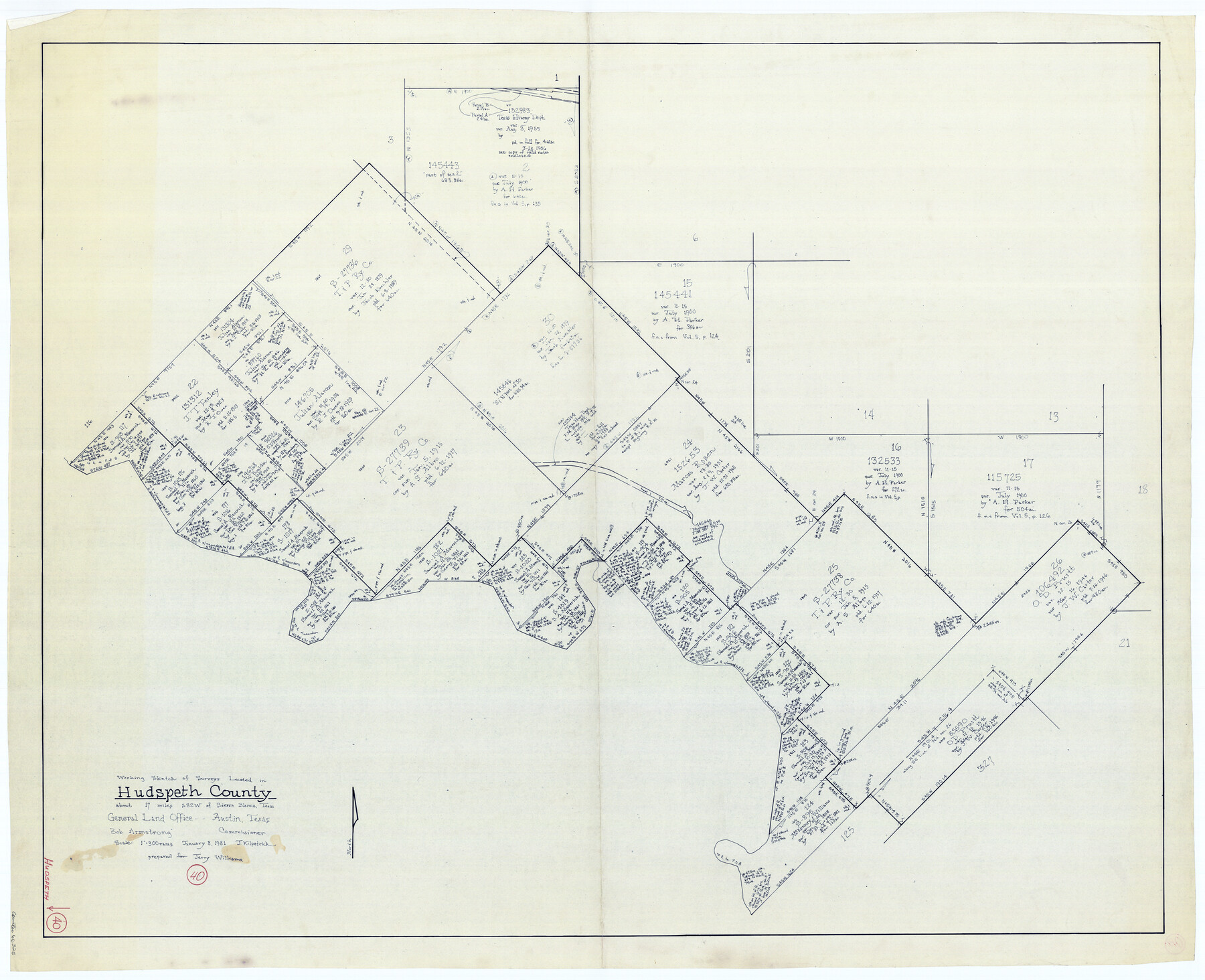
Hudspeth County Working Sketch 40
-
Map/Doc
66325
-
Collection
General Map Collection
-
Object Dates
1/8/1981 (Creation Date)
-
People and Organizations
Joan Kilpatrick (Draftsman)
-
Counties
Hudspeth
-
Subjects
Surveying Working Sketch
-
Height x Width
35.6 x 43.8 inches
90.4 x 111.3 cm
-
Scale
1" = 300 varas
Part of: General Map Collection
Baylor County Sketch File A

Print $6.00
- Digital $50.00
Baylor County Sketch File A
Size 7.5 x 9.2 inches
Map/Doc 14072
Flight Mission No. CLL-1N, Frame 190, Willacy County

Print $20.00
- Digital $50.00
Flight Mission No. CLL-1N, Frame 190, Willacy County
1954
Size 18.5 x 22.2 inches
Map/Doc 87060
Castro County Rolled Sketch 8

Print $20.00
- Digital $50.00
Castro County Rolled Sketch 8
Size 34.1 x 28.8 inches
Map/Doc 5418
Brewster County Rolled Sketch 146A

Print $40.00
- Digital $50.00
Brewster County Rolled Sketch 146A
Size 62.4 x 45.1 inches
Map/Doc 8527
Ramon de la Garza 11 Leagues Houston and Robertson Districts

Print $2.00
- Digital $50.00
Ramon de la Garza 11 Leagues Houston and Robertson Districts
Size 11.5 x 8.5 inches
Map/Doc 181
Sutton County Working Sketch 59

Print $40.00
- Digital $50.00
Sutton County Working Sketch 59
1957
Size 30.2 x 78.4 inches
Map/Doc 62402
Hudspeth County Sketch File 10

Print $4.00
- Digital $50.00
Hudspeth County Sketch File 10
1900
Size 11.2 x 8.8 inches
Map/Doc 26899
[Sketch for Mineral Application 16777]
![65656, [Sketch for Mineral Application 16777], General Map Collection](https://historictexasmaps.com/wmedia_w700/maps/65656-1.tif.jpg)
Print $40.00
- Digital $50.00
[Sketch for Mineral Application 16777]
Size 80.3 x 20.0 inches
Map/Doc 65656
Nueces County Navigation District Number One, Submerged Lands Maintained for Navigational Purposes Persuant to Sub-Section G of Section 61.117 Texas Water Code

Print $20.00
- Digital $50.00
Nueces County Navigation District Number One, Submerged Lands Maintained for Navigational Purposes Persuant to Sub-Section G of Section 61.117 Texas Water Code
1975
Size 23.3 x 29.9 inches
Map/Doc 61806
Haskell County Working Sketch 6

Print $20.00
- Digital $50.00
Haskell County Working Sketch 6
1949
Size 18.9 x 16.4 inches
Map/Doc 66064
Marion County

Print $20.00
- Digital $50.00
Marion County
1943
Size 24.3 x 41.2 inches
Map/Doc 77365
Rio Grande, Raymondville Sheet

Print $20.00
- Digital $50.00
Rio Grande, Raymondville Sheet
1937
Size 37.3 x 37.9 inches
Map/Doc 65110
You may also like
Sterling County Rolled Sketch 26

Print $20.00
- Digital $50.00
Sterling County Rolled Sketch 26
1955
Size 23.8 x 21.4 inches
Map/Doc 7851

Coast Chart No. 211 - Padre I. and Laguna Madre, Lat. 27° 12' to Lat. 26° 33', Texas

Print $20.00
- Digital $50.00
Coast Chart No. 211 - Padre I. and Laguna Madre, Lat. 27° 12' to Lat. 26° 33', Texas
1890
Size 41.0 x 33.4 inches
Map/Doc 73501
Edwards County Sketch File 16b

Print $56.00
- Digital $50.00
Edwards County Sketch File 16b
1907
Size 9.4 x 8.7 inches
Map/Doc 21722
[Defensive Positions of the 143rd & 144th Infantry on October 14, 1918]
![94137, [Defensive Positions of the 143rd & 144th Infantry on October 14, 1918], Non-GLO Digital Images](https://historictexasmaps.com/wmedia_w700/maps/94137-1.tif.jpg)
Print $20.00
[Defensive Positions of the 143rd & 144th Infantry on October 14, 1918]
1918
Size 42.2 x 30.0 inches
Map/Doc 94137
Jefferson County Sketch File X

Print $42.00
- Digital $50.00
Jefferson County Sketch File X
Size 17.1 x 13.3 inches
Map/Doc 28087
Denton County Sketch File 33

Print $4.00
- Digital $50.00
Denton County Sketch File 33
Size 8.2 x 12.4 inches
Map/Doc 20760
Runnels County Working Sketch 5

Print $20.00
- Digital $50.00
Runnels County Working Sketch 5
1907
Size 17.2 x 16.1 inches
Map/Doc 63601
Denton County Working Sketch 18

Print $20.00
- Digital $50.00
Denton County Working Sketch 18
1975
Size 24.1 x 38.8 inches
Map/Doc 68623
Map of Hamilton County

Print $20.00
- Digital $50.00
Map of Hamilton County
1872
Size 15.1 x 22.1 inches
Map/Doc 4555
Van Zandt County Working Sketch 19

Print $20.00
- Digital $50.00
Van Zandt County Working Sketch 19
Size 43.3 x 32.8 inches
Map/Doc 72269
Flight Mission No. BRA-16M, Frame 144, Jefferson County

Print $20.00
- Digital $50.00
Flight Mission No. BRA-16M, Frame 144, Jefferson County
1953
Size 18.6 x 22.5 inches
Map/Doc 85750