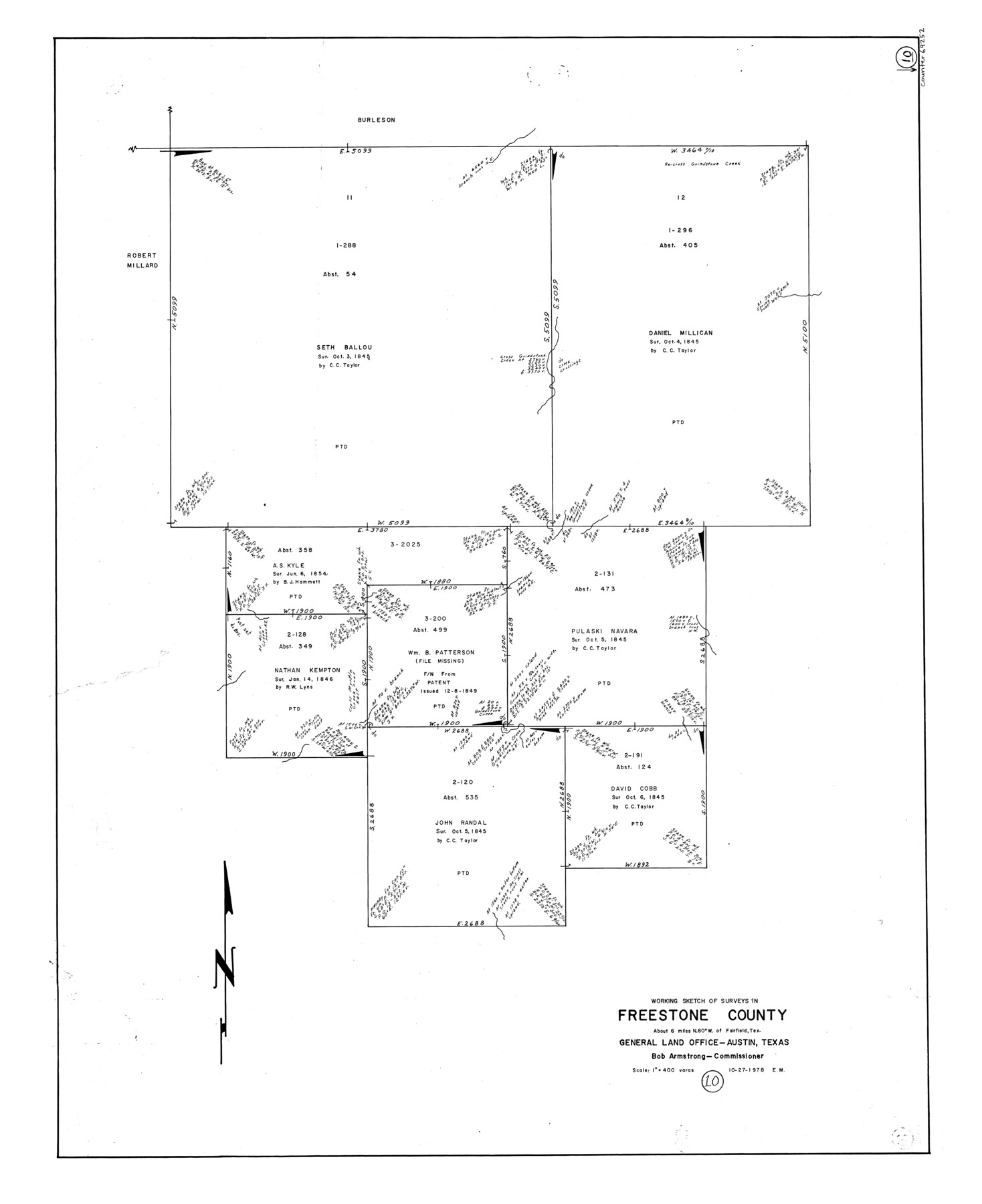
Freestone County Working Sketch 10
-
Map/Doc
69252
-
Collection
General Map Collection
-
Object Dates
10/27/1978 (Creation Date)
-
People and Organizations
Elbert Menzel (Draftsman)
-
Counties
Freestone
-
Subjects
Surveying Working Sketch
-
Height x Width
40.6 x 33.1 inches
103.1 x 84.1 cm
-
Scale
1" = 400 varas
Part of: General Map Collection
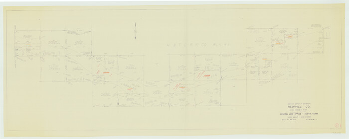
Hemphill County Working Sketch 8

Print $40.00
- Digital $50.00
Hemphill County Working Sketch 8
1965
Size 25.8 x 64.6 inches
Map/Doc 66103
Webb County Sketch File F
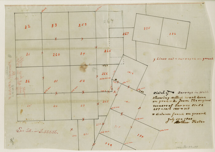

Print $6.00
- Digital $50.00
Webb County Sketch File F
1900
Size 10.7 x 15.1 inches
Map/Doc 39699
Flight Mission No. CRE-1R, Frame 136, Jackson County


Print $20.00
- Digital $50.00
Flight Mission No. CRE-1R, Frame 136, Jackson County
1956
Size 16.0 x 15.9 inches
Map/Doc 85344
Reagan County Rolled Sketch 13
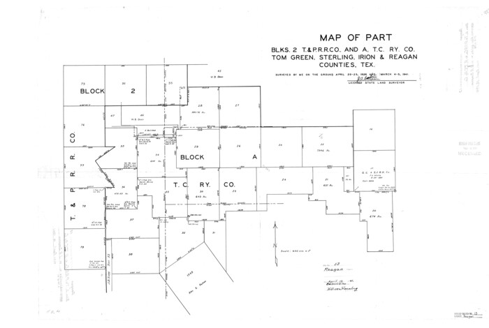

Print $20.00
- Digital $50.00
Reagan County Rolled Sketch 13
Size 25.5 x 38.0 inches
Map/Doc 7441
Jeff Davis County Sketch File 11


Print $20.00
- Digital $50.00
Jeff Davis County Sketch File 11
Size 17.7 x 29.9 inches
Map/Doc 11858
Brazoria County NRC Article 33.136 Sketch 14
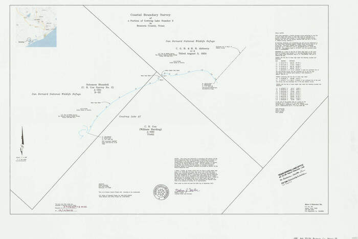

Print $36.00
- Digital $50.00
Brazoria County NRC Article 33.136 Sketch 14
2013
Size 24.0 x 36.0 inches
Map/Doc 95057
Bandera County Sketch File 34


Print $6.00
- Digital $50.00
Bandera County Sketch File 34
1987
Size 14.1 x 8.7 inches
Map/Doc 14030
Victoria County Sketch File 11
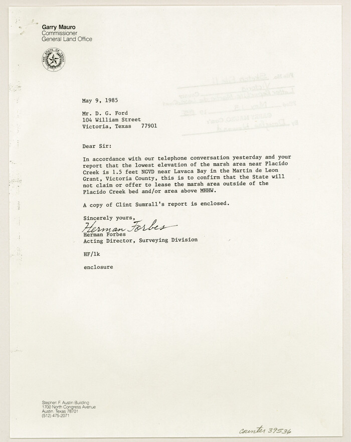

Print $8.00
- Digital $50.00
Victoria County Sketch File 11
1985
Size 11.3 x 9.0 inches
Map/Doc 39536
Wichita County Sketch File I


Print $4.00
- Digital $50.00
Wichita County Sketch File I
1885
Size 10.3 x 8.2 inches
Map/Doc 40091
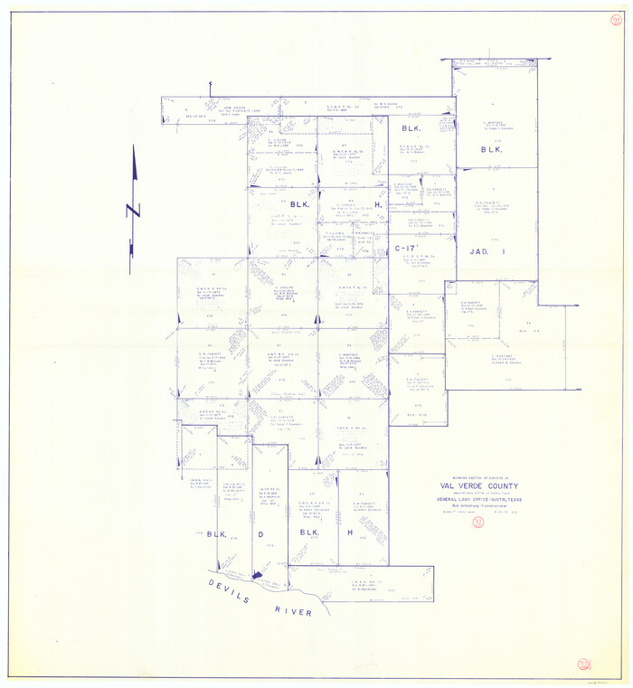
Val Verde County Working Sketch 91

Print $20.00
- Digital $50.00
Val Verde County Working Sketch 91
1976
Size 46.5 x 42.8 inches
Map/Doc 72226
Austin, State Capital of Texas


Digital $50.00
Austin, State Capital of Texas
1887
Size 23.0 x 32.1 inches
Map/Doc 90092
You may also like
Blanco County Working Sketch 26


Print $40.00
- Digital $50.00
Blanco County Working Sketch 26
1969
Size 52.7 x 38.7 inches
Map/Doc 67386
County and Railroad Map of Texas


Print $20.00
- Digital $50.00
County and Railroad Map of Texas
1875
Size 17.4 x 16.0 inches
Map/Doc 95754
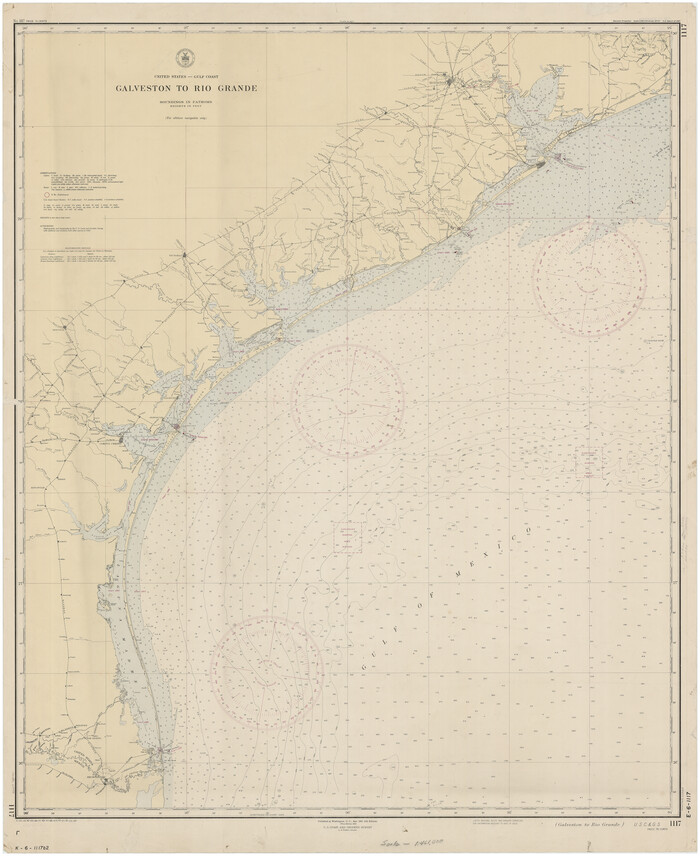
Galveston to Rio Grande

Print $20.00
- Digital $50.00
Galveston to Rio Grande
1946
Size 44.8 x 36.9 inches
Map/Doc 69953
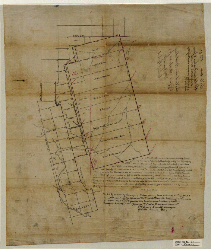
Fisher County Sketch File 6a

Print $20.00
- Digital $50.00
Fisher County Sketch File 6a
Size 21.3 x 18.1 inches
Map/Doc 11476
[Map Showing Parmer, Castro, Bailey, Lamb, Cochran & Hockley Counties, Texas]
![1762, [Map Showing Parmer, Castro, Bailey, Lamb, Cochran & Hockley Counties, Texas], General Map Collection](https://historictexasmaps.com/wmedia_w700/maps/1762.tif.jpg)
![1762, [Map Showing Parmer, Castro, Bailey, Lamb, Cochran & Hockley Counties, Texas], General Map Collection](https://historictexasmaps.com/wmedia_w700/maps/1762.tif.jpg)
Print $40.00
- Digital $50.00
[Map Showing Parmer, Castro, Bailey, Lamb, Cochran & Hockley Counties, Texas]
1910
Size 55.3 x 40.1 inches
Map/Doc 1762
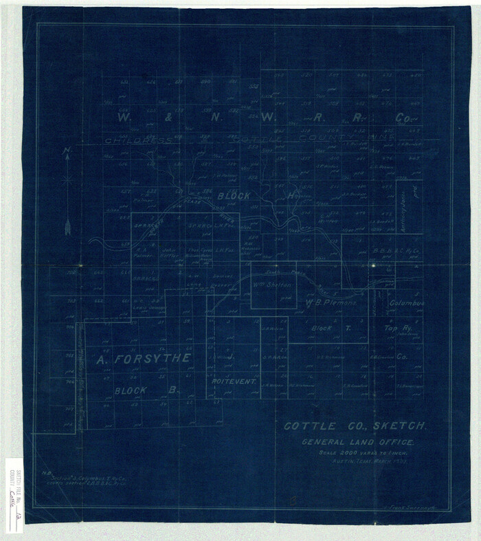
Cottle County Sketch File 12

Print $20.00
- Digital $50.00
Cottle County Sketch File 12
1903
Size 18.7 x 16.6 inches
Map/Doc 11194
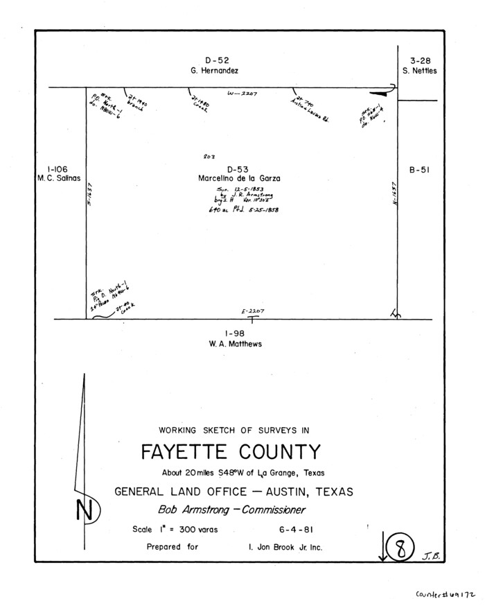
Fayette County Working Sketch 8

Print $20.00
- Digital $50.00
Fayette County Working Sketch 8
1981
Size 14.4 x 11.5 inches
Map/Doc 69172
Lubbock County


Print $20.00
- Digital $50.00
Lubbock County
1968
Size 44.2 x 35.8 inches
Map/Doc 95576
Harris County Sketch File 94


Print $20.00
- Digital $50.00
Harris County Sketch File 94
1952
Size 33.9 x 17.4 inches
Map/Doc 11677
Map of Oceanica engraved to illustrate Mitchell's new intermediate geography


Print $20.00
- Digital $50.00
Map of Oceanica engraved to illustrate Mitchell's new intermediate geography
1885
Size 9.0 x 12.2 inches
Map/Doc 93531
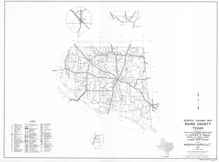
General Highway Map, Rains County, Texas

Print $20.00
General Highway Map, Rains County, Texas
1961
Size 18.1 x 24.4 inches
Map/Doc 79634
