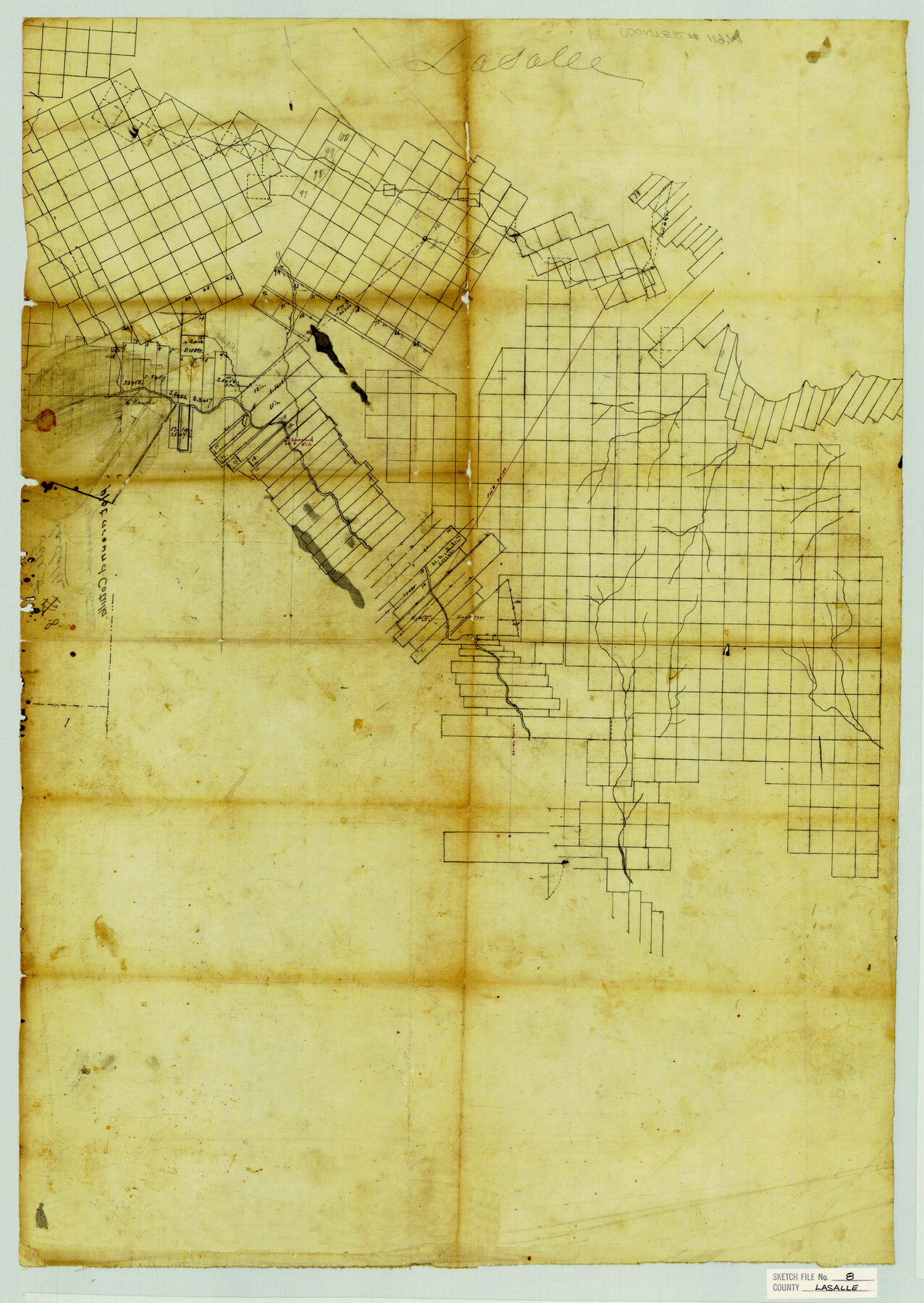
La Salle County Sketch File 8
[Skeleton sketch of most of the county]
- 
                          Map/Doc
11979
 - 
                            Collection
General Map Collection
 - 
                            Counties
La Salle
 - 
                            Subjects
Surveying Sketch File
 - 
                            Height x Width
27.2 x 19.3 inches
69.1 x 49.0 cm
 - 
                            Medium
paper, manuscript
 - 
                            Features
Slaidito Creek
 
Part of: General Map Collection
            [Map showing resurvey of Capitol Leagues in Hartley & Dallam Counties, Texas]


                                            Print $40.00                    
                                             -                         Digital $50.00                                    
                [Map showing resurvey of Capitol Leagues in Hartley & Dallam Counties, Texas]
1918
Size 66.9 x 31.0 inches
                                Map/Doc 1753
            
            Hardin County Boundary File 40


                                            Print $14.00                    
                                             -                         Digital $50.00                                    
                Hardin County Boundary File 40
Size 9.0 x 3.5 inches
                                Map/Doc 54409
            
            Anderson County Sketch File 16


                                            Print $6.00                    
                                             -                         Digital $50.00                                    
                Anderson County Sketch File 16
1849
Size 8.6 x 6.5 inches
                                Map/Doc 12783
            
            Brooks County Boundary File 1a


                                            Print $40.00                    
                                             -                         Digital $50.00                                    
                Brooks County Boundary File 1a
Size 63.8 x 7.1 inches
                                Map/Doc 50836
            
            Van Zandt County Rolled Sketch 4


                                            Print $20.00                    
                                             -                         Digital $50.00                                    
                Van Zandt County Rolled Sketch 4
1946
Size 34.7 x 35.5 inches
                                Map/Doc 10645
            
            Lampasas County Working Sketch 14


                                            Print $20.00                    
                                             -                         Digital $50.00                                    
                Lampasas County Working Sketch 14
1974
Size 23.4 x 21.8 inches
                                Map/Doc 70291
            
            State Mineral Subdivisions and Shoreline Meanders of Upper Trinity Bay and Trinity River Delta Area, Chambers County


                                            Print $20.00                    
                                             -                         Digital $50.00                                    
                State Mineral Subdivisions and Shoreline Meanders of Upper Trinity Bay and Trinity River Delta Area, Chambers County
1950
Size 42.8 x 44.7 inches
                                Map/Doc 1933
            
            Flight Mission No. CRC-3R, Frame 8, Chambers County


                                            Print $20.00                    
                                             -                         Digital $50.00                                    
                Flight Mission No. CRC-3R, Frame 8, Chambers County
1956
Size 18.6 x 22.2 inches
                                Map/Doc 84782
            
            Hall County Sketch File 9a


                                            Print $4.00                    
                                             -                         Digital $50.00                                    
                Hall County Sketch File 9a
1884
Size 12.7 x 8.4 inches
                                Map/Doc 24830
            
            Bell County Sketch File 35


                                            Print $40.00                    
                                             -                         Digital $50.00                                    
                Bell County Sketch File 35
1952
Size 22.0 x 24.3 inches
                                Map/Doc 10918
            
            Wilson County Boundary File 5a


                                            Print $20.00                    
                                             -                         Digital $50.00                                    
                Wilson County Boundary File 5a
Size 12.0 x 28.0 inches
                                Map/Doc 60118
            
            Presidio County Rolled Sketch 131A


                                            Print $20.00                    
                                             -                         Digital $50.00                                    
                Presidio County Rolled Sketch 131A
Size 17.7 x 11.9 inches
                                Map/Doc 10710
            You may also like
            Parker County Sketch File 49


                                            Print $6.00                    
                                             -                         Digital $50.00                                    
                Parker County Sketch File 49
Size 10.6 x 8.8 inches
                                Map/Doc 33618
            
            Val Verde County Rolled Sketch 3X


                                            Print $20.00                    
                                             -                         Digital $50.00                                    
                Val Verde County Rolled Sketch 3X
Size 27.9 x 30.9 inches
                                Map/Doc 8107
            
            Jefferson County Sketch File 56


                                            Print $34.00                    
                                             -                         Digital $50.00                                    
                Jefferson County Sketch File 56
2007
Map/Doc 93427
            
            Harrison County Working Sketch 11


                                            Print $20.00                    
                                             -                         Digital $50.00                                    
                Harrison County Working Sketch 11
1961
Size 27.8 x 28.0 inches
                                Map/Doc 66031
            
            Crockett County Rolled Sketch 50


                                            Print $20.00                    
                                             -                         Digital $50.00                                    
                Crockett County Rolled Sketch 50
1940
Size 31.5 x 40.7 inches
                                Map/Doc 8714
            
            General Highway Map.  Detail of Cities and Towns in Lubbock County, Texas  [Lubbock and vicinity]


                                            Print $20.00                    
                                    
                General Highway Map. Detail of Cities and Towns in Lubbock County, Texas [Lubbock and vicinity]
1961
Size 18.2 x 24.7 inches
                                Map/Doc 79579
            
            Flight Mission No. DCL-6C, Frame 181, Kenedy County


                                            Print $20.00                    
                                             -                         Digital $50.00                                    
                Flight Mission No. DCL-6C, Frame 181, Kenedy County
1943
Size 18.5 x 22.2 inches
                                Map/Doc 85993
            
            Runnels County Working Sketch 35a


                                            Print $20.00                    
                                             -                         Digital $50.00                                    
                Runnels County Working Sketch 35a
Size 14.9 x 14.2 inches
                                Map/Doc 63633
            
            Reagan County Working Sketch 8


                                            Print $20.00                    
                                             -                         Digital $50.00                                    
                Reagan County Working Sketch 8
1939
Size 37.8 x 23.3 inches
                                Map/Doc 71848
            
            A New and Correct County Map of the State of Texas


                                            Print $20.00                    
                                             -                         Digital $50.00                                    
                A New and Correct County Map of the State of Texas
1891
Size 22.4 x 27.3 inches
                                Map/Doc 95760
            
            Crockett County Working Sketch 53


                                            Print $20.00                    
                                             -                         Digital $50.00                                    
                Crockett County Working Sketch 53
1948
Size 24.2 x 27.7 inches
                                Map/Doc 68386
            
            Val Verde County Sketch File 44A


                                            Print $10.00                    
                                             -                         Digital $50.00                                    
                Val Verde County Sketch File 44A
1940
Size 14.5 x 8.8 inches
                                Map/Doc 39311