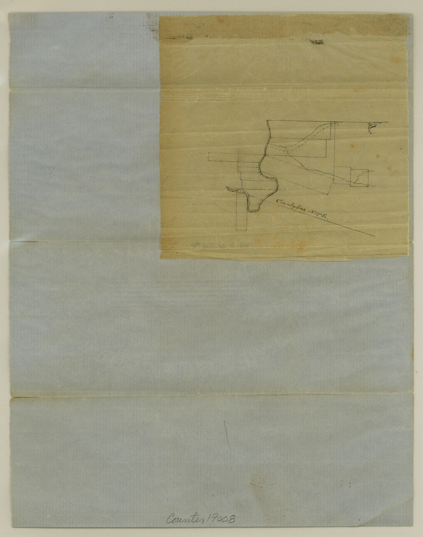
Comal County Sketch File 6
[Sketch on Sister Creek, on north side of the Guadalupe River]
-
Map/Doc
19008
-
Collection
General Map Collection
-
Object Dates
1855/2/14 (File Date)
-
Counties
Comal
-
Subjects
Surveying Sketch File
-
Height x Width
10.3 x 8.1 inches
26.2 x 20.6 cm
-
Medium
paper, manuscript
-
Features
Guadalupe River
[Sister Creek]
Part of: General Map Collection
Current Miscellaneous File 94

Print $3.00
- Digital $50.00
Current Miscellaneous File 94
1851
Size 11.2 x 17.1 inches
Map/Doc 74268
Hall County Sketch File D

Print $8.00
- Digital $50.00
Hall County Sketch File D
1906
Size 14.4 x 8.7 inches
Map/Doc 24792

Bell County Boundary File 1

Print $8.00
- Digital $50.00
Bell County Boundary File 1
Size 14.0 x 8.5 inches
Map/Doc 50481
Jeff Davis County Rolled Sketch 1

Print $20.00
- Digital $50.00
Jeff Davis County Rolled Sketch 1
1882
Size 23.0 x 43.2 inches
Map/Doc 6359
Tyler County Working Sketch 11

Print $20.00
- Digital $50.00
Tyler County Working Sketch 11
1941
Size 23.0 x 17.3 inches
Map/Doc 69481
[Surveys along Buffalo Bayou]
![153, [Surveys along Buffalo Bayou], General Map Collection](https://historictexasmaps.com/wmedia_w700/maps/153.tif.jpg)
Print $2.00
- Digital $50.00
[Surveys along Buffalo Bayou]
Size 6.3 x 3.9 inches
Map/Doc 153
Pecos County Working Sketch 52

Print $20.00
- Digital $50.00
Pecos County Working Sketch 52
1948
Size 46.8 x 32.5 inches
Map/Doc 71524
Upper Galveston Bay, Houston Ship Channel, Dollar Pt. to Atkinson I.

Print $40.00
- Digital $50.00
Upper Galveston Bay, Houston Ship Channel, Dollar Pt. to Atkinson I.
1973
Size 49.8 x 36.8 inches
Map/Doc 69896
Angelina County, Nacogdoches District

Print $20.00
- Digital $50.00
Angelina County, Nacogdoches District
1882
Size 20.0 x 27.6 inches
Map/Doc 3234

Chart of the Harbour of San [Luis]
![72761, Chart of the Harbour of San [Luis], General Map Collection](https://historictexasmaps.com/wmedia_w700/maps/72761.tif.jpg)
Print $20.00
- Digital $50.00
Chart of the Harbour of San [Luis]
1846
Size 27.3 x 18.3 inches
Map/Doc 72761
You may also like
Edwards County Boundary File 27 1/2a

Print $56.00
- Digital $50.00
Edwards County Boundary File 27 1/2a
Size 14.1 x 8.8 inches
Map/Doc 52922
Jim Wells County Sketch File 2

Print $6.00
- Digital $50.00
Jim Wells County Sketch File 2
1931
Size 11.1 x 8.7 inches
Map/Doc 28424
Flight Mission No. BQR-22K, Frame 34, Brazoria County

Print $20.00
- Digital $50.00
Flight Mission No. BQR-22K, Frame 34, Brazoria County
1953
Size 18.7 x 22.5 inches
Map/Doc 84118
Donley County Boundary File 6

Print $6.00
- Digital $50.00
Donley County Boundary File 6
Size 5.7 x 8.7 inches
Map/Doc 52637
Old Miscellaneous File 10

Print $4.00
- Digital $50.00
Old Miscellaneous File 10
Size 9.6 x 8.2 inches
Map/Doc 75435
Erath County Rolled Sketch 3A

Print $20.00
- Digital $50.00
Erath County Rolled Sketch 3A
1982
Size 21.7 x 27.8 inches
Map/Doc 5865
Henderson County Sketch File 25

Print $2.00
- Digital $50.00
Henderson County Sketch File 25
1854
Size 8.1 x 3.8 inches
Map/Doc 26391
Crockett County Rolled Sketch RC

Print $50.00
- Digital $50.00
Crockett County Rolled Sketch RC
1935
Size 43.2 x 31.1 inches
Map/Doc 8702
Hockley County Sketch Mineral Applications Number 38322- 38379

Print $20.00
- Digital $50.00
Hockley County Sketch Mineral Applications Number 38322- 38379
1946
Size 33.5 x 27.9 inches
Map/Doc 92232
Roberts County

Print $20.00
- Digital $50.00
Roberts County
1900
Size 43.4 x 42.0 inches
Map/Doc 63002
San Patricio County Rolled Sketch 36

Print $40.00
- Digital $50.00
San Patricio County Rolled Sketch 36
Size 42.3 x 48.1 inches
Map/Doc 9899
Matagorda County NRC Article 33.136 Sketch 12

Print $32.00
- Digital $50.00
Matagorda County NRC Article 33.136 Sketch 12
2017
Size 22.0 x 34.0 inches
Map/Doc 94780