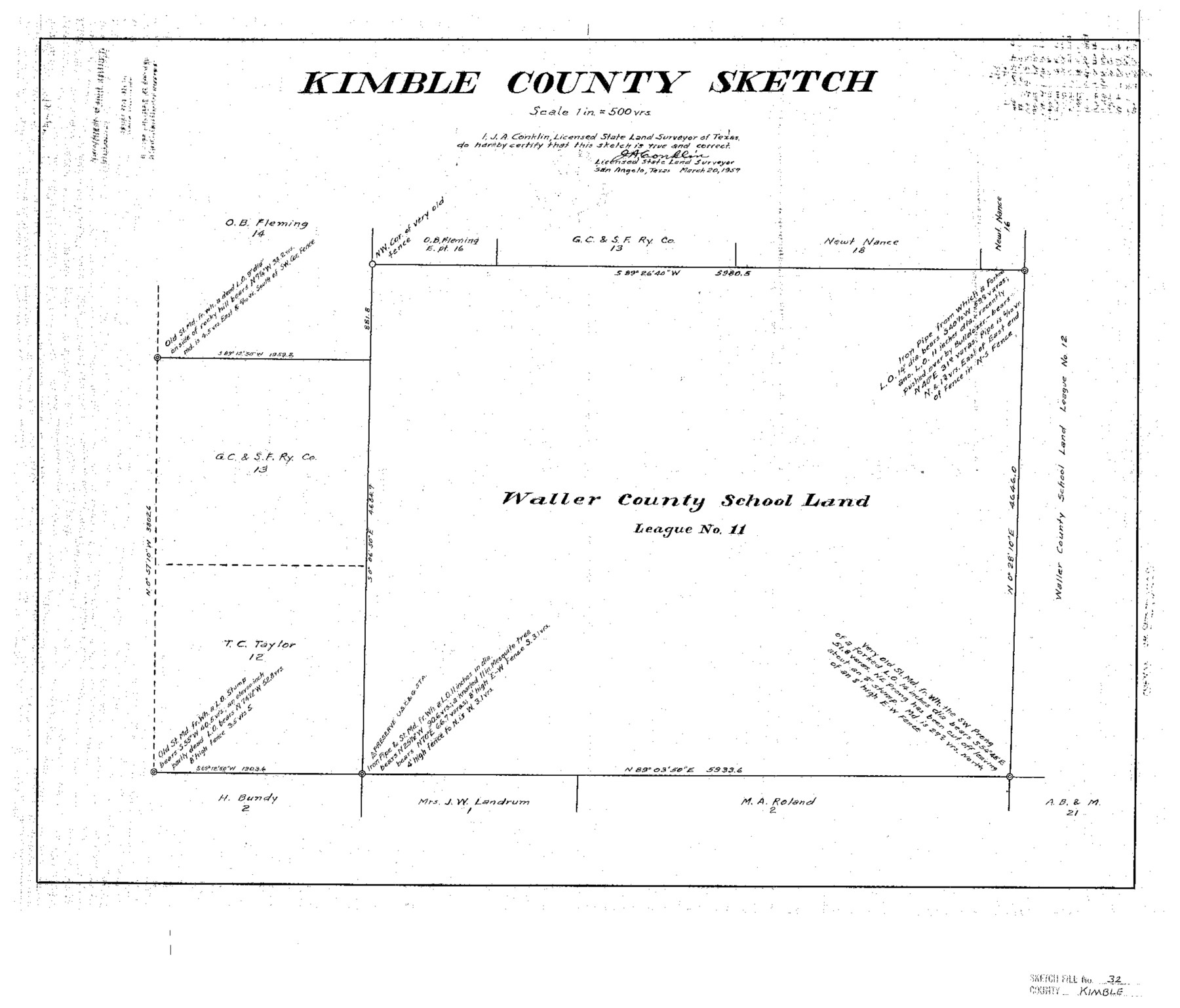
Kimble County Sketch File 32
[Waller County School Land League No. 11 along Kimble-Edwards County line]
-
Map/Doc
11930
-
Collection
General Map Collection
-
Object Dates
3/20/1957 (Creation Date)
3/27/1957 (File Date)
-
People and Organizations
J.A. Conklin (Surveyor/Engineer)
-
Counties
Kimble Edwards
-
Subjects
Surveying Sketch File
-
Height x Width
18.4 x 21.6 inches
46.7 x 54.9 cm
-
Medium
paper, print
-
Scale
1" = 500 varas
Part of: General Map Collection
Terrell County Working Sketch 77

Print $20.00
- Digital $50.00
Terrell County Working Sketch 77
1983
Size 22.9 x 33.7 inches
Map/Doc 69598
Brazos Santiago, Texas

Print $20.00
- Digital $50.00
Brazos Santiago, Texas
1882
Size 9.0 x 16.9 inches
Map/Doc 97186
Hardeman County Working Sketch 2

Print $20.00
- Digital $50.00
Hardeman County Working Sketch 2
1900
Size 19.1 x 19.4 inches
Map/Doc 63383
Houston County Working Sketch 37

Print $20.00
- Digital $50.00
Houston County Working Sketch 37
2006
Size 33.0 x 40.0 inches
Map/Doc 83627
Pecos County Rolled Sketch 91

Print $20.00
- Digital $50.00
Pecos County Rolled Sketch 91
Size 23.6 x 34.7 inches
Map/Doc 9710
Harris County Rolled Sketch 88

Print $20.00
- Digital $50.00
Harris County Rolled Sketch 88
1934
Size 35.2 x 23.2 inches
Map/Doc 6120
Amistad International Reservoir on Rio Grande Key Sheet

Print $20.00
- Digital $50.00
Amistad International Reservoir on Rio Grande Key Sheet
1960
Size 13.0 x 32.4 inches
Map/Doc 73345
Henderson County Rolled Sketch 11

Print $20.00
- Digital $50.00
Henderson County Rolled Sketch 11
1915
Size 28.9 x 42.5 inches
Map/Doc 75959
Terry County Working Sketch 2

Print $20.00
- Digital $50.00
Terry County Working Sketch 2
1952
Size 19.3 x 19.3 inches
Map/Doc 62107
Map of the State of Texas

Print $40.00
- Digital $50.00
Map of the State of Texas
1879
Size 102.3 x 106.1 inches
Map/Doc 16974
Gillespie County Boundary File 6

Print $2.00
- Digital $50.00
Gillespie County Boundary File 6
Size 11.3 x 8.9 inches
Map/Doc 53770
Jackson County Sketch File 7

Print $24.00
- Digital $50.00
Jackson County Sketch File 7
1895
Size 14.2 x 8.7 inches
Map/Doc 27649
You may also like
Bee County Sketch File 12

Print $4.00
- Digital $50.00
Bee County Sketch File 12
1876
Size 8.2 x 9.8 inches
Map/Doc 14293
Flight Mission No. DQN-2K, Frame 70, Calhoun County

Print $20.00
- Digital $50.00
Flight Mission No. DQN-2K, Frame 70, Calhoun County
1953
Size 18.7 x 22.3 inches
Map/Doc 84262
San Benito, Texas on the Frisco in the Lower Rio Grande Valley

San Benito, Texas on the Frisco in the Lower Rio Grande Valley
1911
Map/Doc 96727
Austin including Bergstrom AFB, Hays, Mansfield Dam, McKinney Falls State Park, Oak Hill, Rollingwood, San Leanna, Sunset Valley and West Lake Hills - also portions of Pflugerville

Austin including Bergstrom AFB, Hays, Mansfield Dam, McKinney Falls State Park, Oak Hill, Rollingwood, San Leanna, Sunset Valley and West Lake Hills - also portions of Pflugerville
Size 38.4 x 25.6 inches
Map/Doc 94375
Burleson County Working Sketch 22

Print $20.00
- Digital $50.00
Burleson County Working Sketch 22
1980
Size 14.6 x 15.6 inches
Map/Doc 67741
Jefferson County Rolled Sketch 45

Print $20.00
- Digital $50.00
Jefferson County Rolled Sketch 45
1959
Size 31.2 x 27.3 inches
Map/Doc 6402
Val Verde County Working Sketch 107

Print $20.00
- Digital $50.00
Val Verde County Working Sketch 107
Size 32.8 x 43.5 inches
Map/Doc 72242
Rand, McNally & Co.'s Texas

Print $20.00
- Digital $50.00
Rand, McNally & Co.'s Texas
1902
Size 21.3 x 28.4 inches
Map/Doc 95886
Harris County Rolled Sketch 71

Print $20.00
- Digital $50.00
Harris County Rolled Sketch 71
1944
Size 19.3 x 26.7 inches
Map/Doc 6111
Map of the United States and Texas Boundary Line and adjacent territory determined & surveyed in 1857-8-9-60 by J.H. Clark, U.S. Commissioner, &ca. &ca. under the direction of the Departement [sic] of the Interior
![94063, Map of the United States and Texas Boundary Line and adjacent territory determined & surveyed in 1857-8-9-60 by J.H. Clark, U.S. Commissioner, &ca. &ca. under the direction of the Departement [sic] of the Interior, General Map Collection](https://historictexasmaps.com/wmedia_w700/maps/94063.tif.jpg)
Print $20.00
- Digital $50.00
Map of the United States and Texas Boundary Line and adjacent territory determined & surveyed in 1857-8-9-60 by J.H. Clark, U.S. Commissioner, &ca. &ca. under the direction of the Departement [sic] of the Interior
1902
Size 27.9 x 41.8 inches
Map/Doc 94063
Runnels County

Print $20.00
- Digital $50.00
Runnels County
1948
Size 46.5 x 36.4 inches
Map/Doc 77411
Flight Mission No. CLL-1N, Frame 109, Willacy County

Print $20.00
- Digital $50.00
Flight Mission No. CLL-1N, Frame 109, Willacy County
1954
Size 18.3 x 22.1 inches
Map/Doc 87043