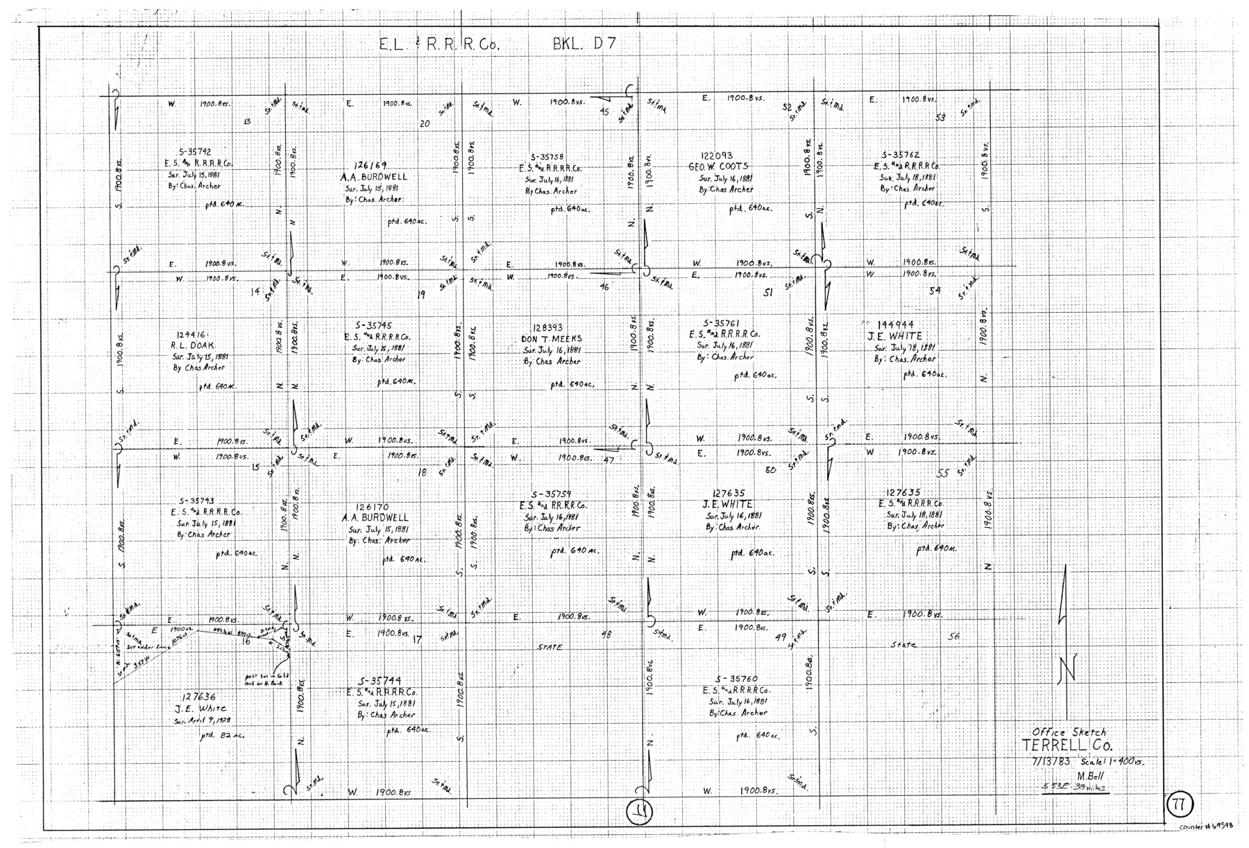
Terrell County Working Sketch 77
-
Map/Doc
69598
-
Collection
General Map Collection
-
Object Dates
7/13/1983 (Creation Date)
-
People and Organizations
M. Bell (Draftsman)
-
Counties
Terrell
-
Subjects
Surveying Working Sketch
-
Height x Width
22.9 x 33.7 inches
58.2 x 85.6 cm
-
Scale
1" = 400 varas
Part of: General Map Collection
Kendall County Working Sketch 2

Print $20.00
- Digital $50.00
Kendall County Working Sketch 2
1941
Size 28.6 x 21.1 inches
Map/Doc 66674
Map of Taylor, Bastrop & Houston Railroad in Austin County

Print $20.00
- Digital $50.00
Map of Taylor, Bastrop & Houston Railroad in Austin County
Size 14.6 x 25.1 inches
Map/Doc 64480
Webb County Sketch File 12

Print $4.00
- Digital $50.00
Webb County Sketch File 12
Size 13.1 x 8.2 inches
Map/Doc 39791
Armstrong County Sketch File 2

Print $40.00
- Digital $50.00
Armstrong County Sketch File 2
Size 21.5 x 40.0 inches
Map/Doc 10371
Flight Mission No. BRA-16M, Frame 86, Jefferson County

Print $20.00
- Digital $50.00
Flight Mission No. BRA-16M, Frame 86, Jefferson County
1953
Size 18.5 x 22.3 inches
Map/Doc 85698
Flight Mission No. DCL-4C, Frame 123, Kenedy County

Print $20.00
- Digital $50.00
Flight Mission No. DCL-4C, Frame 123, Kenedy County
1943
Size 18.6 x 22.3 inches
Map/Doc 85822
Jefferson County Sketch File 14

Print $60.00
- Digital $50.00
Jefferson County Sketch File 14
Size 15.8 x 13.2 inches
Map/Doc 28149
Flight Mission No. CRC-5R, Frame 33, Chambers County

Print $20.00
- Digital $50.00
Flight Mission No. CRC-5R, Frame 33, Chambers County
1956
Size 18.6 x 22.5 inches
Map/Doc 84952
Oldham County Sketch File 12

Print $20.00
- Digital $50.00
Oldham County Sketch File 12
Size 20.0 x 20.1 inches
Map/Doc 12113
[Sketch for Mineral Application 26542 - Sabine River between Prairie and Hawkins Creek, F. B. Jackson, Jr.]
![65669, [Sketch for Mineral Application 26542 - Sabine River between Prairie and Hawkins Creek, F. B. Jackson, Jr.], General Map Collection](https://historictexasmaps.com/wmedia_w700/maps/65669.tif.jpg)
Print $40.00
- Digital $50.00
[Sketch for Mineral Application 26542 - Sabine River between Prairie and Hawkins Creek, F. B. Jackson, Jr.]
1931
Size 22.0 x 64.0 inches
Map/Doc 65669
Harris County Boundary File 2

Print $8.00
- Digital $50.00
Harris County Boundary File 2
Size 8.1 x 8.7 inches
Map/Doc 54294
Hardin County Sketch File 21

Print $4.00
- Digital $50.00
Hardin County Sketch File 21
Size 11.2 x 8.8 inches
Map/Doc 25140
You may also like
Val Verde County Boundary File 103

Print $82.00
- Digital $50.00
Val Verde County Boundary File 103
Size 9.1 x 9.1 inches
Map/Doc 59577
Blanco County Working Sketch 36

Print $20.00
- Digital $50.00
Blanco County Working Sketch 36
1979
Size 23.8 x 22.0 inches
Map/Doc 67396
Terrell County Rolled Sketch 52

Print $20.00
- Digital $50.00
Terrell County Rolled Sketch 52
1967
Size 26.8 x 30.5 inches
Map/Doc 7970
Map of the River Sabine from its mouth on the Gulf of Mexico in the Sea to Logan's Ferry in Latitude 31°58'24" North

Print $40.00
- Digital $50.00
Map of the River Sabine from its mouth on the Gulf of Mexico in the Sea to Logan's Ferry in Latitude 31°58'24" North
1842
Size 60.5 x 30.6 inches
Map/Doc 87151
Leon County Working Sketch 20

Print $20.00
- Digital $50.00
Leon County Working Sketch 20
1963
Size 37.8 x 38.2 inches
Map/Doc 70419
Jasper County Working Sketch 3

Print $20.00
- Digital $50.00
Jasper County Working Sketch 3
Size 17.8 x 14.1 inches
Map/Doc 66465
Ward County Working Sketch 18

Print $20.00
- Digital $50.00
Ward County Working Sketch 18
1949
Size 20.3 x 21.9 inches
Map/Doc 72324
Terrell County Working Sketch 11

Print $20.00
- Digital $50.00
Terrell County Working Sketch 11
1934
Size 18.5 x 15.0 inches
Map/Doc 62160
Gulf of Mexico

Print $20.00
- Digital $50.00
Gulf of Mexico
1908
Size 18.3 x 28.0 inches
Map/Doc 72661
Hopkins County Boundary File 1

Print $26.00
- Digital $50.00
Hopkins County Boundary File 1
Size 12.3 x 7.9 inches
Map/Doc 55044
Real County Rolled Sketch 3

Print $20.00
- Digital $50.00
Real County Rolled Sketch 3
1955
Size 14.6 x 23.3 inches
Map/Doc 7453
Map of Sabine County

Print $20.00
- Digital $50.00
Map of Sabine County
1896
Size 26.6 x 19.3 inches
Map/Doc 4010