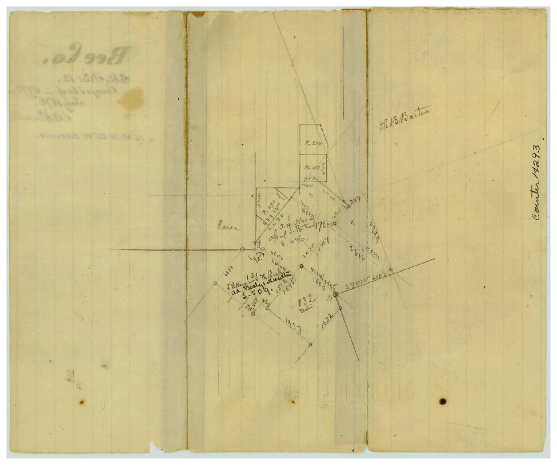
Bee County Sketch File 12
[Office sketch northwest of Beeville on Live Oak-Bee County line]
-
Map/Doc
14293
-
Collection
General Map Collection
-
Object Dates
1876 (Creation Date)
-
Counties
Bee Live Oak
-
Subjects
Surveying Sketch File
-
Height x Width
8.2 x 9.8 inches
20.8 x 24.9 cm
-
Medium
paper, manuscript
Part of: General Map Collection
Polk County Texas

Print $20.00
- Digital $50.00
Polk County Texas
1897
Size 27.1 x 21.0 inches
Map/Doc 3956
Houston County Working Sketch 27

Print $20.00
- Digital $50.00
Houston County Working Sketch 27
1988
Size 34.9 x 28.5 inches
Map/Doc 66257
Hudspeth County Sketch File 2

Print $10.00
- Digital $50.00
Hudspeth County Sketch File 2
1900
Size 13.4 x 8.6 inches
Map/Doc 26884
Township No. 4 South Range No. 14 West of the Indian Meridian

Print $4.00
- Digital $50.00
Township No. 4 South Range No. 14 West of the Indian Meridian
1875
Size 18.0 x 22.4 inches
Map/Doc 75144
Flight Mission No. DCL-4C, Frame 122, Kenedy County

Print $20.00
- Digital $50.00
Flight Mission No. DCL-4C, Frame 122, Kenedy County
1943
Size 18.6 x 22.3 inches
Map/Doc 85821
Zavalla [sic] County
![16939, Zavalla [sic] County, General Map Collection](https://historictexasmaps.com/wmedia_w700/maps/16939.tif.jpg)
Print $20.00
- Digital $50.00
Zavalla [sic] County
1893
Size 44.5 x 46.3 inches
Map/Doc 16939
Nueces County Rolled Sketch 69

Print $20.00
- Digital $50.00
Nueces County Rolled Sketch 69
Size 23.8 x 33.0 inches
Map/Doc 6920
Flight Mission No. DAH-9M, Frame 202, Orange County

Print $20.00
- Digital $50.00
Flight Mission No. DAH-9M, Frame 202, Orange County
1953
Size 18.5 x 22.6 inches
Map/Doc 86870
Angelina County Sketch File 11

Print $10.00
- Digital $50.00
Angelina County Sketch File 11
1859
Size 12.4 x 8.3 inches
Map/Doc 12937
Deaf Smith County Working Sketch 5

Print $40.00
- Digital $50.00
Deaf Smith County Working Sketch 5
1983
Size 37.0 x 53.9 inches
Map/Doc 68645
Randall County Rolled Sketch 6

Print $20.00
- Digital $50.00
Randall County Rolled Sketch 6
Size 25.0 x 23.9 inches
Map/Doc 7426
Sketch of a reconnaissance of Aransas and Corpus Christi Bays

Print $20.00
- Digital $50.00
Sketch of a reconnaissance of Aransas and Corpus Christi Bays
1855
Size 25.7 x 18.3 inches
Map/Doc 72969
You may also like
Hutchinson County Rolled Sketch 40

Print $20.00
- Digital $50.00
Hutchinson County Rolled Sketch 40
1981
Size 26.1 x 37.5 inches
Map/Doc 6298
Winkler County

Print $20.00
- Digital $50.00
Winkler County
1901
Size 36.2 x 45.8 inches
Map/Doc 93038
Galveston Harbor, Texas, South Jetty sketch showing extension of shoreline - Sheet 5

Print $2.00
- Digital $50.00
Galveston Harbor, Texas, South Jetty sketch showing extension of shoreline - Sheet 5
1936
Size 8.8 x 13.3 inches
Map/Doc 61819
Calcasieu Pass to Sabine Pass

Print $20.00
- Digital $50.00
Calcasieu Pass to Sabine Pass
1946
Size 45.0 x 35.7 inches
Map/Doc 69807
Yoakum County Sketch File 20

Print $22.00
- Digital $50.00
Yoakum County Sketch File 20
1977
Size 13.1 x 14.5 inches
Map/Doc 40841
[Fragment, Jefferson Plotted]
![78352, [Fragment, Jefferson Plotted], General Map Collection](https://historictexasmaps.com/wmedia_w700/maps/78352.tif.jpg)
Print $2.00
- Digital $50.00
[Fragment, Jefferson Plotted]
Size 14.0 x 7.5 inches
Map/Doc 78352
Flight Mission No. BRE-2P, Frame 95, Nueces County

Print $20.00
- Digital $50.00
Flight Mission No. BRE-2P, Frame 95, Nueces County
1956
Size 18.4 x 22.3 inches
Map/Doc 86780
Hood County Working Sketch Graphic Index

Print $20.00
- Digital $50.00
Hood County Working Sketch Graphic Index
1941
Size 35.9 x 31.8 inches
Map/Doc 76580
Survey of Lots 1, 2, 3, 4 and 5, Block 12G Fair View Park, Austin Texas

Print $20.00
- Digital $50.00
Survey of Lots 1, 2, 3, 4 and 5, Block 12G Fair View Park, Austin Texas
1914
Size 23.1 x 11.0 inches
Map/Doc 83431
General Highway Map. Detail of Cities and Towns in Bexar County, Texas [San Antonio and vicinity]
![79019, General Highway Map. Detail of Cities and Towns in Bexar County, Texas [San Antonio and vicinity], Texas State Library and Archives](https://historictexasmaps.com/wmedia_w700/maps/79019.tif.jpg)
Print $20.00
General Highway Map. Detail of Cities and Towns in Bexar County, Texas [San Antonio and vicinity]
1940
Size 18.6 x 25.0 inches
Map/Doc 79019
Uvalde County Working Sketch 64

Print $20.00
- Digital $50.00
Uvalde County Working Sketch 64
1998
Size 29.9 x 30.6 inches
Map/Doc 72134
Kent County Working Sketch 15

Print $40.00
- Digital $50.00
Kent County Working Sketch 15
1971
Size 32.3 x 48.3 inches
Map/Doc 70022