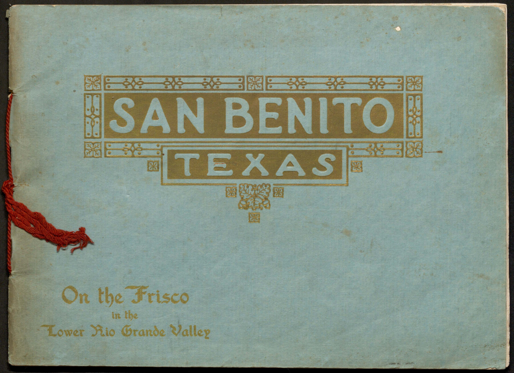
San Benito, Texas on the Frisco in the Lower Rio Grande Valley
-
Map/Doc
96727
-
Collection
Cobb Digital Map Collection
-
Object Dates
1911 (Creation Date)
-
Subjects
Bound Volume Railroads
-
Medium
pdf
-
Comments
Courtesy of John & Diana Cobb.
Part of: Cobb Digital Map Collection
Competing Transportation Lines between Boston, New York, Philadelphia, Baltimore, and the South Atlantic and Gulf States

Print $20.00
- Digital $50.00
Competing Transportation Lines between Boston, New York, Philadelphia, Baltimore, and the South Atlantic and Gulf States
1881
Size 15.1 x 17.8 inches
Map/Doc 95907
Sectional map of Texas traversed by the Missouri, Kansas & Texas Railway, showing the crops adapted to each section, with the elevation and annual rainfall

Print $20.00
- Digital $50.00
Sectional map of Texas traversed by the Missouri, Kansas & Texas Railway, showing the crops adapted to each section, with the elevation and annual rainfall
1904
Size 21.9 x 23.0 inches
Map/Doc 95815


The Rand McNally New Commercial Atlas Map of Texas

Print $20.00
- Digital $50.00
The Rand McNally New Commercial Atlas Map of Texas
1919
Size 28.4 x 40.2 inches
Map/Doc 95852
Map of the N. Orleans, Mobile and Texas Railroad and Connections

Print $20.00
- Digital $50.00
Map of the N. Orleans, Mobile and Texas Railroad and Connections
1871
Size 8.9 x 11.1 inches
Map/Doc 96611
Map of the Texas & Pacific Railway and connections

Print $20.00
- Digital $50.00
Map of the Texas & Pacific Railway and connections
1911
Size 18.1 x 37.1 inches
Map/Doc 95770
Rail Oddities - Odd and Interesting Facts about the Railroads

Rail Oddities - Odd and Interesting Facts about the Railroads
1954
Size 9.1 x 6.1 inches
Map/Doc 96597
El Paso and the New Southwest

El Paso and the New Southwest
1923
Size 11.8 x 9.0 inches
Map/Doc 97047
Southern Homes in Southern Texas, The Celebrated Coast Country

Southern Homes in Southern Texas, The Celebrated Coast Country
1899
Size 6.2 x 3.7 inches
Map/Doc 97050
Map of the Texas & Pacific Railway "Gould System" Lines and connections

Print $20.00
- Digital $50.00
Map of the Texas & Pacific Railway "Gould System" Lines and connections
1906
Size 17.7 x 36.6 inches
Map/Doc 95769

You may also like
Bowie County Working Sketch 24

Print $20.00
- Digital $50.00
Bowie County Working Sketch 24
1974
Size 47.1 x 40.1 inches
Map/Doc 67428
Tom Green County Sketch File 37a

Print $24.00
- Digital $50.00
Tom Green County Sketch File 37a
1881
Size 18.5 x 24.0 inches
Map/Doc 12437

Crockett County Rolled Sketch 55

Print $40.00
- Digital $50.00
Crockett County Rolled Sketch 55
Size 42.3 x 95.8 inches
Map/Doc 8718
Menard County Working Sketch 12

Print $20.00
- Digital $50.00
Menard County Working Sketch 12
1939
Size 24.7 x 30.0 inches
Map/Doc 70959
[Township 5-S, Blocks 36, 37 & 38]
![92291, [Township 5-S, Blocks 36, 37 & 38], Twichell Survey Records](https://historictexasmaps.com/wmedia_w700/maps/92291-1.tif.jpg)
Print $20.00
- Digital $50.00
[Township 5-S, Blocks 36, 37 & 38]
1952
Size 27.6 x 26.5 inches
Map/Doc 92291
Fisher County Rolled Sketch 7

Print $20.00
- Digital $50.00
Fisher County Rolled Sketch 7
1873
Size 47.1 x 43.5 inches
Map/Doc 8891
Calhoun County Rolled Sketch 21

Print $20.00
- Digital $50.00
Calhoun County Rolled Sketch 21
1957
Size 47.2 x 37.5 inches
Map/Doc 8551
Matagorda Light to Aransas Pass

Print $20.00
- Digital $50.00
Matagorda Light to Aransas Pass
1981
Size 36.6 x 44.5 inches
Map/Doc 73402
Township No. 6 South Range No. 9 West of the Indian Meridian

Print $20.00
- Digital $50.00
Township No. 6 South Range No. 9 West of the Indian Meridian
1874
Size 19.2 x 24.5 inches
Map/Doc 75166
Newton County Working Sketch 18

Print $20.00
- Digital $50.00
Newton County Working Sketch 18
1950
Size 14.3 x 13.6 inches
Map/Doc 71264
Nueces County NRC Article 33.136 Sketch 22

Print $42.00
Nueces County NRC Article 33.136 Sketch 22
2023
Map/Doc 97180