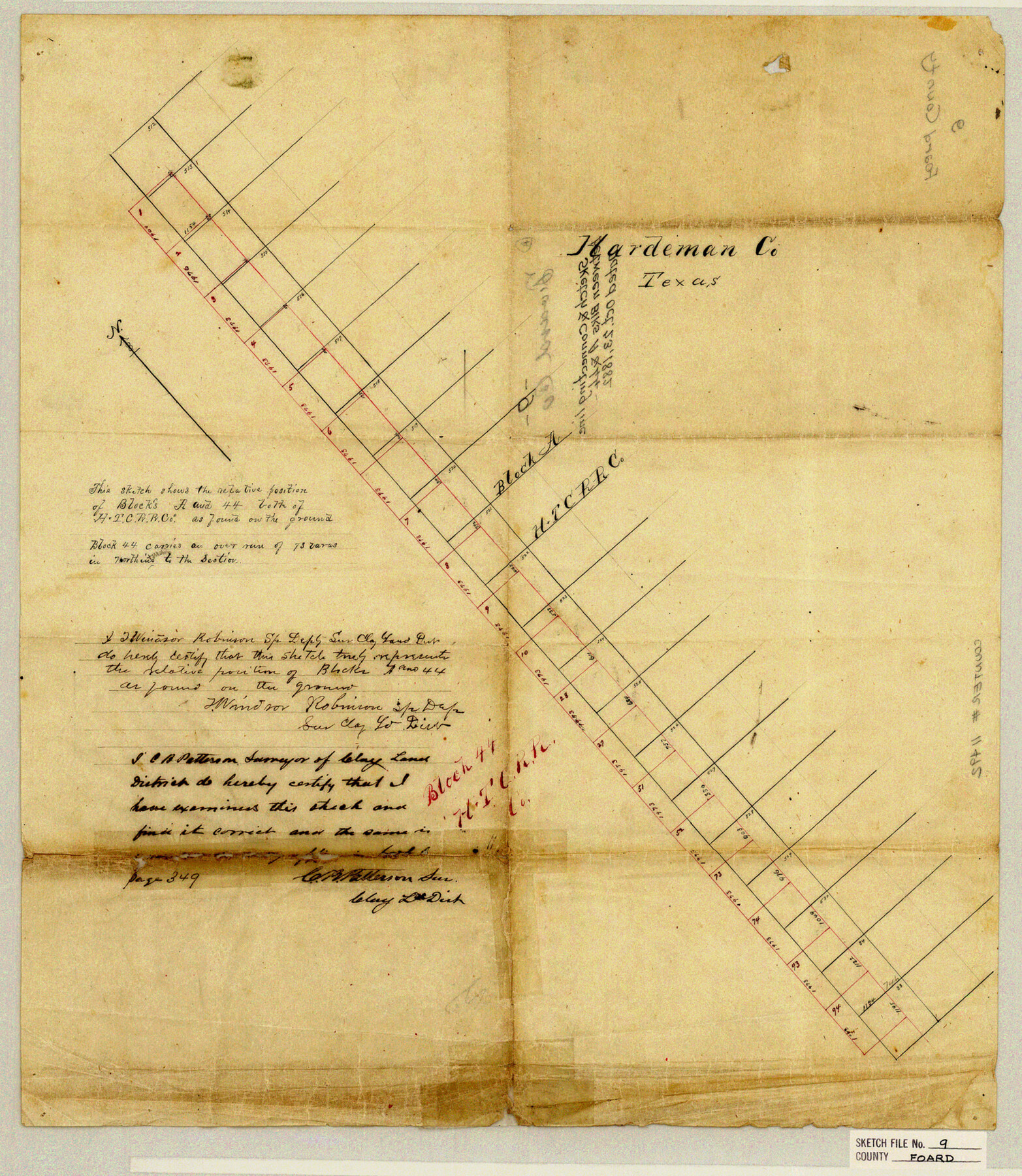
Foard County Sketch File 9
Sketch & connecting line between Blks. A & 44
-
Map/Doc
11492
-
Collection
General Map Collection
-
Object Dates
1882/10/23 (Creation Date)
-
People and Organizations
T. Windsor Robinson (Surveyor/Engineer)
-
Counties
Foard Hardeman
-
Subjects
Surveying Sketch File
-
Height x Width
19.7 x 17.1 inches
50.0 x 43.4 cm
-
Medium
paper, manuscript
Part of: General Map Collection
Harris County Rolled Sketch 88

Print $20.00
- Digital $50.00
Harris County Rolled Sketch 88
1937
Size 34.9 x 22.7 inches
Map/Doc 6126
Flight Mission No. DQN-2K, Frame 24, Calhoun County

Print $20.00
- Digital $50.00
Flight Mission No. DQN-2K, Frame 24, Calhoun County
1953
Size 18.6 x 22.2 inches
Map/Doc 84231
Flight Mission No. BQR-20K, Frame 5, Brazoria County

Print $20.00
- Digital $50.00
Flight Mission No. BQR-20K, Frame 5, Brazoria County
1952
Size 18.6 x 22.3 inches
Map/Doc 84107
Navarro County Sketch File 7

Print $4.00
- Digital $50.00
Navarro County Sketch File 7
1854
Size 12.2 x 8.0 inches
Map/Doc 32313
Lampasas County Working Sketch 13

Print $20.00
- Digital $50.00
Lampasas County Working Sketch 13
1973
Size 34.4 x 27.7 inches
Map/Doc 70290
[F. W. & D. C. Ry. Co. Alignment and Right of Way Map, Clay County]
![64723, [F. W. & D. C. Ry. Co. Alignment and Right of Way Map, Clay County], General Map Collection](https://historictexasmaps.com/wmedia_w700/maps/64723-1.tif.jpg)
Print $20.00
- Digital $50.00
[F. W. & D. C. Ry. Co. Alignment and Right of Way Map, Clay County]
1927
Size 18.6 x 11.8 inches
Map/Doc 64723
Presidio County Sketch File S

Print $27.00
- Digital $50.00
Presidio County Sketch File S
1917
Size 14.3 x 8.8 inches
Map/Doc 34561
Hockley County Rolled Sketch 9

Print $20.00
- Digital $50.00
Hockley County Rolled Sketch 9
1947
Size 21.2 x 16.5 inches
Map/Doc 6218
Bandera County Working Sketch 16a

Print $20.00
- Digital $50.00
Bandera County Working Sketch 16a
1941
Size 12.8 x 22.1 inches
Map/Doc 67609
[Maps of surveys in Reeves & Culberson Cos]
![61146, [Maps of surveys in Reeves & Culberson Cos], General Map Collection](https://historictexasmaps.com/wmedia_w700/maps/61146.tif.jpg)
Print $20.00
- Digital $50.00
[Maps of surveys in Reeves & Culberson Cos]
1937
Size 30.8 x 24.9 inches
Map/Doc 61146
Flight Mission No. DQN-2K, Frame 115, Calhoun County

Print $20.00
- Digital $50.00
Flight Mission No. DQN-2K, Frame 115, Calhoun County
1953
Size 18.6 x 22.3 inches
Map/Doc 84291
Edwards County Working Sketch 140

Print $20.00
- Digital $50.00
Edwards County Working Sketch 140
2014
Size 36.1 x 41.1 inches
Map/Doc 93665
You may also like
Map of Mason County

Print $20.00
- Digital $50.00
Map of Mason County
1879
Size 22.5 x 18.8 inches
Map/Doc 3839
[PSL Blocks A57, 77; B1-B3, T. & P. Block 46, T-1-N]
![90167, [PSL Blocks A57, 77; B1-B3, T. & P. Block 46, T-1-N], Twichell Survey Records](https://historictexasmaps.com/wmedia_w700/maps/90167-1.tif.jpg)
Print $20.00
- Digital $50.00
[PSL Blocks A57, 77; B1-B3, T. & P. Block 46, T-1-N]
Size 33.4 x 36.1 inches
Map/Doc 90167
[Coordinates for Block H, Sections 1 and 2 and Block C41, Section 4]
![92566, [Coordinates for Block H, Sections 1 and 2 and Block C41, Section 4], Twichell Survey Records](https://historictexasmaps.com/wmedia_w700/maps/92566-1.tif.jpg)
Print $3.00
- Digital $50.00
[Coordinates for Block H, Sections 1 and 2 and Block C41, Section 4]
1940
Size 11.4 x 17.4 inches
Map/Doc 92566
Galveston County Rolled Sketch 34A

Print $20.00
- Digital $50.00
Galveston County Rolled Sketch 34A
1978
Size 30.2 x 40.9 inches
Map/Doc 5967
Concho County Sketch File 5

Print $2.00
- Digital $50.00
Concho County Sketch File 5
1858
Size 8.1 x 7.4 inches
Map/Doc 82974
[PSL Blks A28 & A29]
![90165, [PSL Blks A28 & A29], Twichell Survey Records](https://historictexasmaps.com/wmedia_w700/maps/90165-1.tif.jpg)
Print $20.00
- Digital $50.00
[PSL Blks A28 & A29]
Size 18.2 x 22.8 inches
Map/Doc 90165
Orange County Sketch File 4a

Print $22.00
- Digital $50.00
Orange County Sketch File 4a
1874
Size 16.0 x 13.0 inches
Map/Doc 33309

General Highway Map, Crockett County, Texas

Print $20.00
General Highway Map, Crockett County, Texas
1961
Size 18.1 x 24.6 inches
Map/Doc 79425
Wharton County Rolled Sketch 13

Print $20.00
- Digital $50.00
Wharton County Rolled Sketch 13
1990
Size 22.4 x 28.1 inches
Map/Doc 8238
Galveston County Rolled Sketch 23

Print $24.00
- Digital $50.00
Galveston County Rolled Sketch 23
1955
Size 10.0 x 15.2 inches
Map/Doc 45081
General Highway Map, Mills County, Texas

Print $20.00
General Highway Map, Mills County, Texas
1940
Size 18.4 x 24.8 inches
Map/Doc 79199