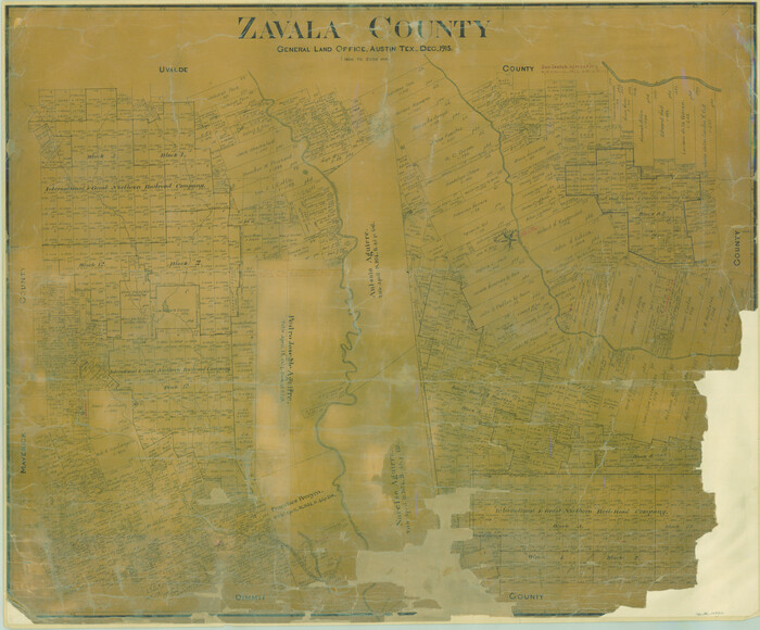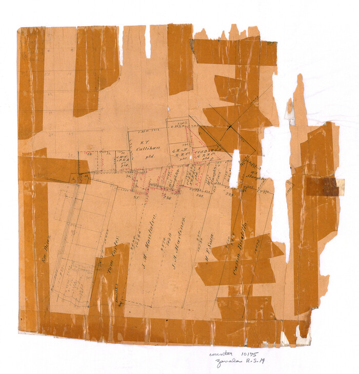
 
                                                                        
                                Zavala County Rolled Sketch 14
1887
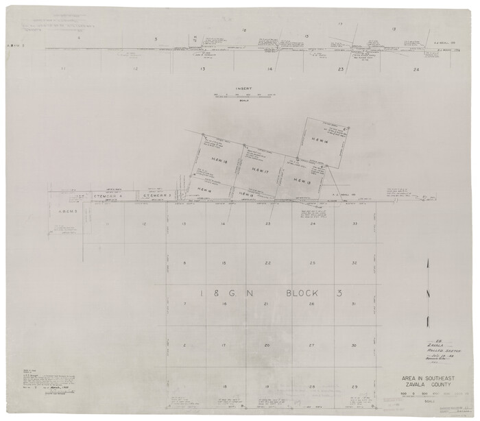
 
                                                                        
                                Zavala County Rolled Sketch 25
1952
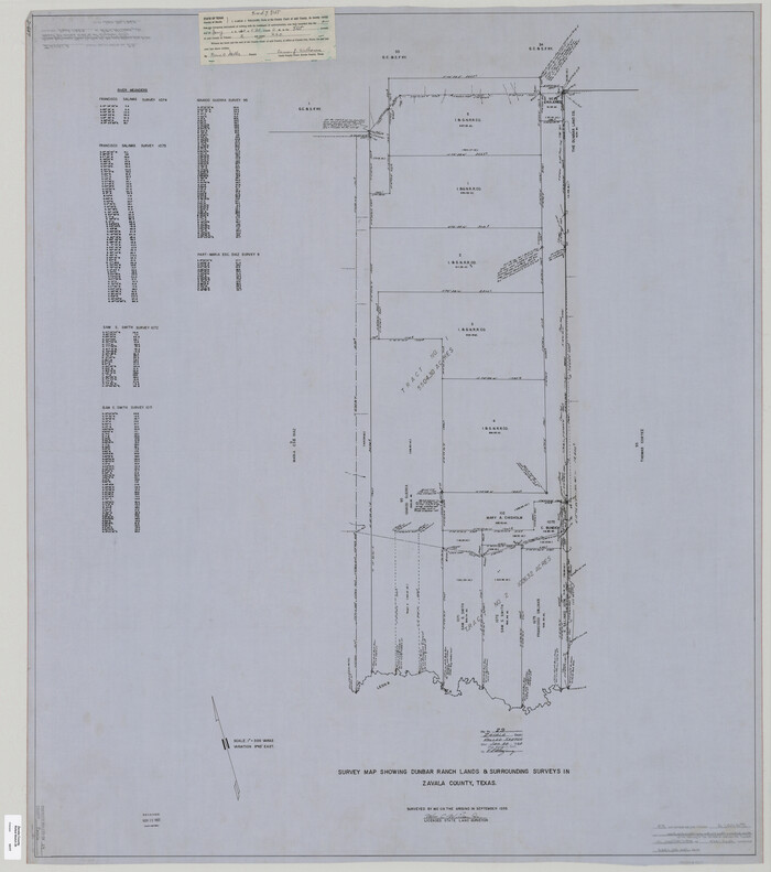
 
                                                                        
                                Zavala County Rolled Sketch 29
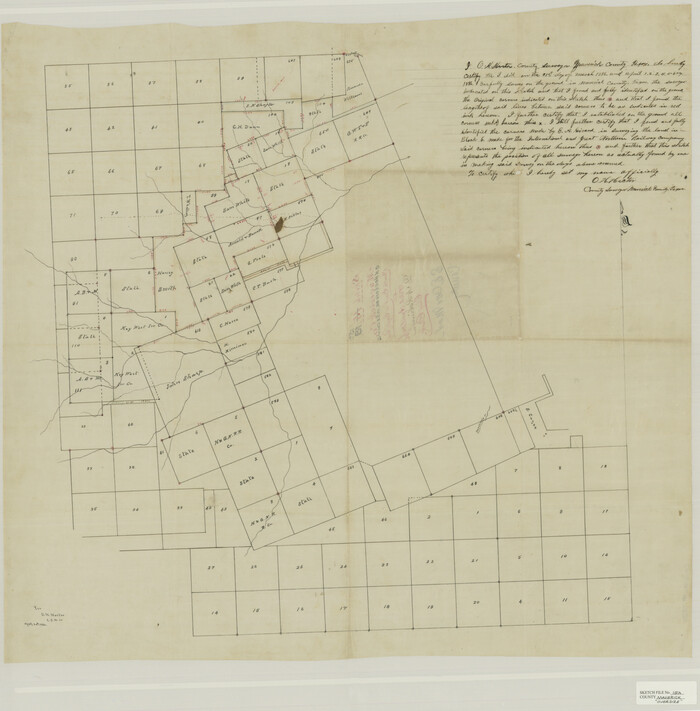
 
                                                                        
                                Maverick County Sketch File 15a
1886
 
                                                                        
                                Dimmit County Sketch File 14
1884
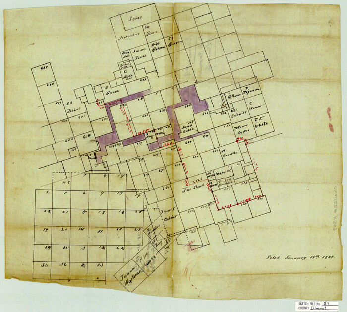
 
                                                                        
                                Dimmit County Sketch File 27
 
                                                                        
                                Dimmit County Sketch File 31
1894
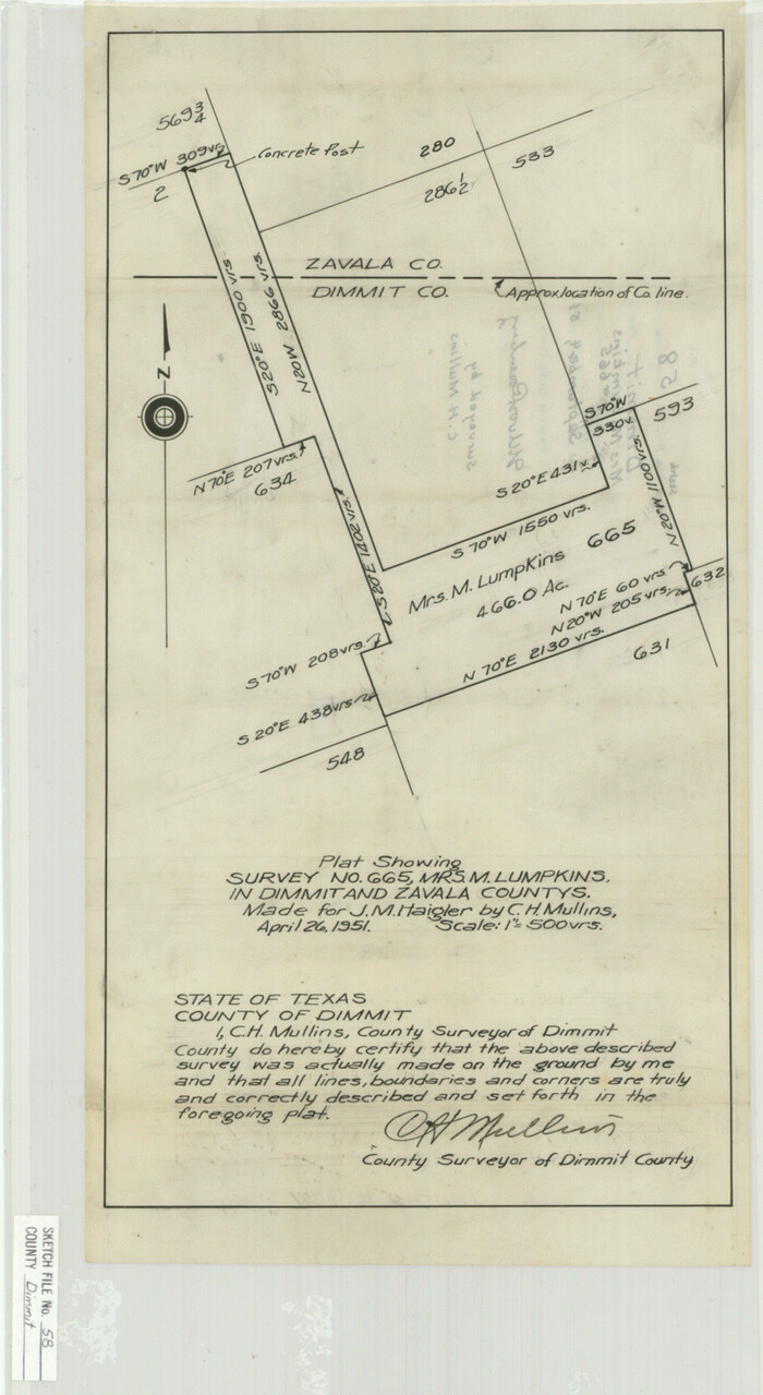
 
                                                                        
                                Dimmit County Sketch File 58
1951
 
                                                                        
                                Frio County Sketch File 10
1906
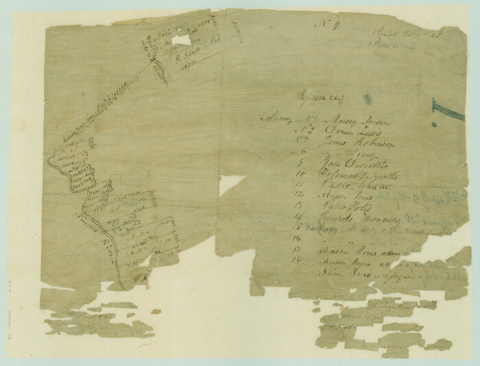
 
                                                                        
                                [Surveys in the Bexar District along the Nueces and Leona Rivers]
1845
 
                                                                        
                                Maverick County Sketch File 1 1/2
1875
 
                                                                        
                                Uvalde County Sketch File 6
 
                                                                        
                                Uvalde County Sketch File 12A
1887
 
                                                                        
                                Uvalde County Sketch File A
1912
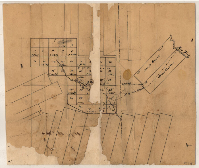
 
                                                                        
                                Zavala County Sketch File 1
 
                                                                        
                                Zavala County Sketch File 4
1852
 
                                                                        
                                Zavala County Sketch File 9
1884
 
                                                                        
                                Zavala County Sketch File 10
 
                                                                        
                                Zavala County Sketch File 15
 
                                                                        
                                Zavala County Sketch File 16
1900
 
                                                                        
                                Zavala County Sketch File 41
1900
 
                                                                        
                                Zavala County Sketch File 42
1915
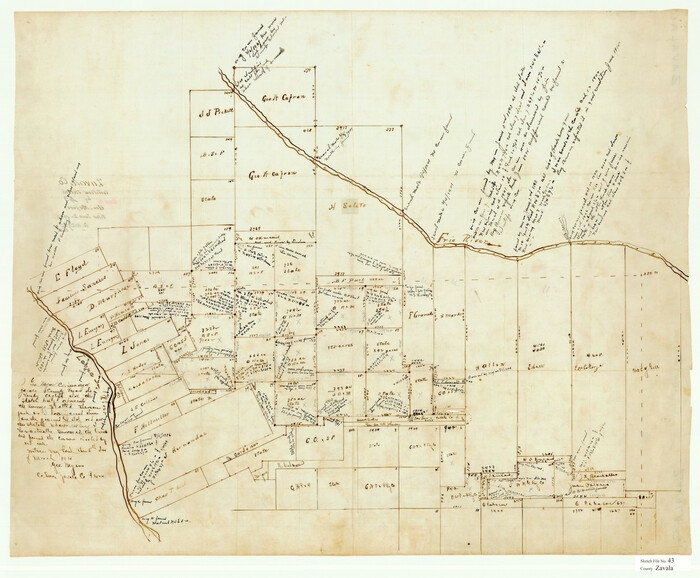
 
                                                                        
                                Zavala County Sketch File 43
1915
 
                                                                        
                                Zavala County Sketch File 46
1937
 
                                                                        
                                Zavala County Sketch File A1
1899
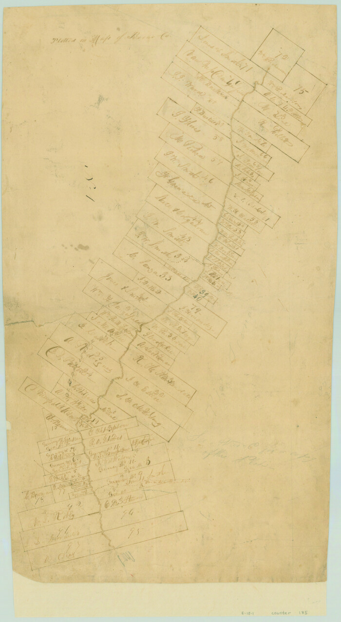
 
                                                                        
                                [Surveys in the Bexar District along the Leona River]
1841
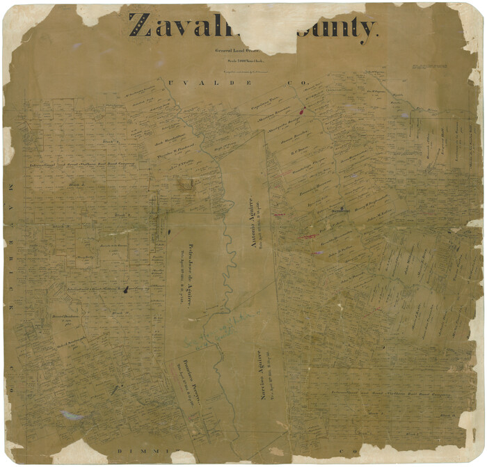
 
                                                                        
                                Zavalla [sic] County
1894
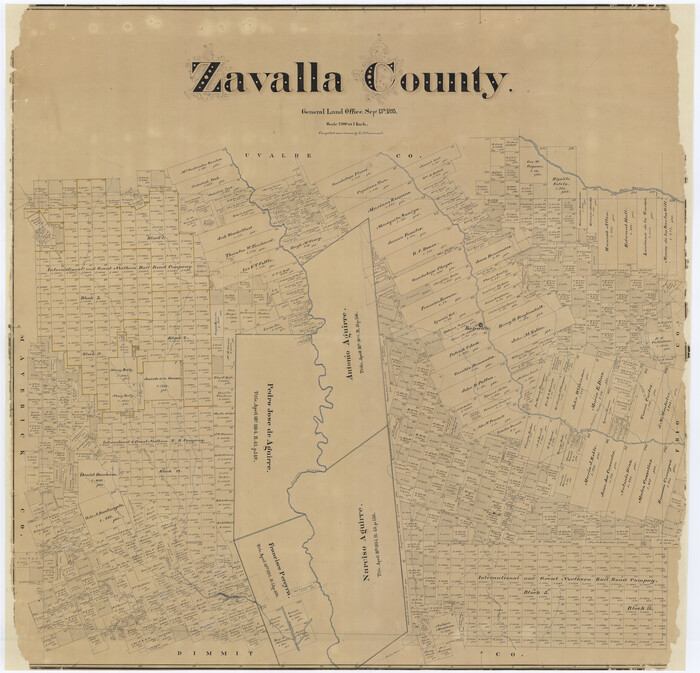
 
                                                                        
                                Zavalla [sic] County
1893
 
                                                                        
                                Map of the Western Part of Bexar District
1849
 
                                                
                    Zavala County Rolled Sketch 14
1887
- 
                                Size28.1 x 40.8 inches 
- 
                            Map/Doc10175 
- 
                                Creation Date1887 
 
                                                
                    Zavala County Rolled Sketch 25
1952
- 
                                Size38.4 x 43.4 inches 
- 
                            Map/Doc10176 
- 
                                Creation Date1952 
 
                                                
                    Zavala County Rolled Sketch 29
- 
                                Size50.9 x 45.1 inches 
- 
                            Map/Doc10177 
 
                                                
                    Maverick County Sketch File 15a
1886
- 
                                Size30.8 x 30.3 inches 
- 
                            Map/Doc10536 
- 
                                Creation Date1886 
 
                                                
                    Dimmit County Sketch File 14
1884
- 
                                Size35.7 x 23.3 inches 
- 
                            Map/Doc11342 
- 
                                Creation Date1884 
 
                                                
                    Dimmit County Sketch File 27
- 
                                Size16.5 x 18.3 inches 
- 
                            Map/Doc11349 
 
                                                
                    Dimmit County Sketch File 31
1894
- 
                                Size12.7 x 17.3 inches 
- 
                            Map/Doc11352 
- 
                                Creation Date1894 
 
                                                
                    Dimmit County Sketch File 58
1951
- 
                                Size18.0 x 9.8 inches 
- 
                            Map/Doc11361 
- 
                                Creation Date1951 
 
                                                
                    Frio County Sketch File 10
1906
- 
                                Size19.3 x 23.2 inches 
- 
                            Map/Doc11518 
- 
                                Creation Date1906 
![116, [Surveys in the Bexar District along the Nueces and Leona Rivers], General Map Collection](https://historictexasmaps.com/wmedia_w700/maps/116.tif.jpg) 
                                                
                    [Surveys in the Bexar District along the Nueces and Leona Rivers]
1845
- 
                                Size10.9 x 14.3 inches 
- 
                            Map/Doc116 
- 
                                Creation Date1845 
 
                                                
                    Maverick County Sketch File 1 1/2
1875
- 
                                Size23.2 x 27.6 inches 
- 
                            Map/Doc12049 
- 
                                Creation Date1875 
 
                                                
                    Uvalde County Sketch File 6
- 
                                Size25.0 x 31.4 inches 
- 
                            Map/Doc12526 
 
                                                
                    Uvalde County Sketch File 12A
1887
- 
                                Size19.2 x 30.0 inches 
- 
                            Map/Doc12527 
- 
                                Creation Date1887 
 
                                                
                    Uvalde County Sketch File A
1912
- 
                                Size23.0 x 18.0 inches 
- 
                            Map/Doc12537 
- 
                                Creation Date1912 
 
                                                
                    Zavala County Sketch File 1
- 
                                Size28.5 x 22.7 inches 
- 
                            Map/Doc12725 
 
                                                
                    Zavala County Sketch File 4
1852
- 
                                Size17.7 x 14.7 inches 
- 
                            Map/Doc12726 
- 
                                Creation Date1852 
 
                                                
                    Zavala County Sketch File 9
1884
- 
                                Size29.1 x 15.9 inches 
- 
                            Map/Doc12727 
- 
                                Creation Date1884 
 
                                                
                    Zavala County Sketch File 10
- 
                                Size17.6 x 25.7 inches 
- 
                            Map/Doc12728 
 
                                                
                    Zavala County Sketch File 15
- 
                                Size23.3 x 22.3 inches 
- 
                            Map/Doc12729 
 
                                                
                    Zavala County Sketch File 16
1900
- 
                                Size22.9 x 16.9 inches 
- 
                            Map/Doc12730 
- 
                                Creation Date1900 
 
                                                
                    Zavala County Sketch File 41
1900
- 
                                Size24.0 x 21.6 inches 
- 
                            Map/Doc12731 
- 
                                Creation Date1900 
 
                                                
                    Zavala County Sketch File 42
1915
- 
                                Size19.4 x 25.6 inches 
- 
                            Map/Doc12732 
- 
                                Creation Date1915 
 
                                                
                    Zavala County Sketch File 43
1915
- 
                                Size26.8 x 32.4 inches 
- 
                            Map/Doc12733 
- 
                                Creation Date1915 
 
                                                
                    Zavala County Sketch File 46
1937
- 
                                Size16.7 x 18.8 inches 
- 
                            Map/Doc12734 
- 
                                Creation Date1937 
 
                                                
                    Zavala County Sketch File A1
1899
- 
                                Size23.5 x 28.6 inches 
- 
                            Map/Doc12735 
- 
                                Creation Date1899 
![135, [Surveys in the Bexar District along the Leona River], General Map Collection](https://historictexasmaps.com/wmedia_w700/maps/135.tif.jpg) 
                                                
                    [Surveys in the Bexar District along the Leona River]
1841
- 
                                Size19.9 x 10.9 inches 
- 
                            Map/Doc135 
- 
                                Creation Date1841 
![16938, Zavalla [sic] County, General Map Collection](https://historictexasmaps.com/wmedia_w700/maps/16938-1.tif.jpg) 
                                                
                    Zavalla [sic] County
1894
- 
                                Size42.3 x 44.6 inches 
- 
                            Map/Doc16938 
- 
                                Creation Date1894 
![16939, Zavalla [sic] County, General Map Collection](https://historictexasmaps.com/wmedia_w700/maps/16939.tif.jpg) 
                                                
                    Zavalla [sic] County
1893
- 
                                Size44.5 x 46.3 inches 
- 
                            Map/Doc16939 
- 
                                Creation Date1893 
 
                                                
                    Zavala County
1915
- 
                                Size38.6 x 46.6 inches 
- 
                            Map/Doc16940 
- 
                                Creation Date1915 
 
                                                
                    Map of the Western Part of Bexar District
1849
- 
                                Size64.0 x 54.3 inches 
- 
                            Map/Doc16944 
- 
                                Creation Date1849