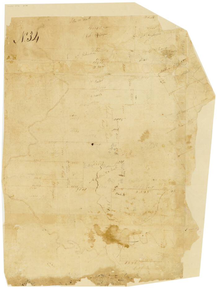
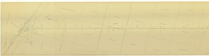
[Surveys in Austin's Colony along the east side of the Brazos River]

Print $20.00
- Digital $50.00
[Surveys in Austin's Colony along the east side of the Brazos River]
1824
Size: 26.7 x 8.4 inches
191
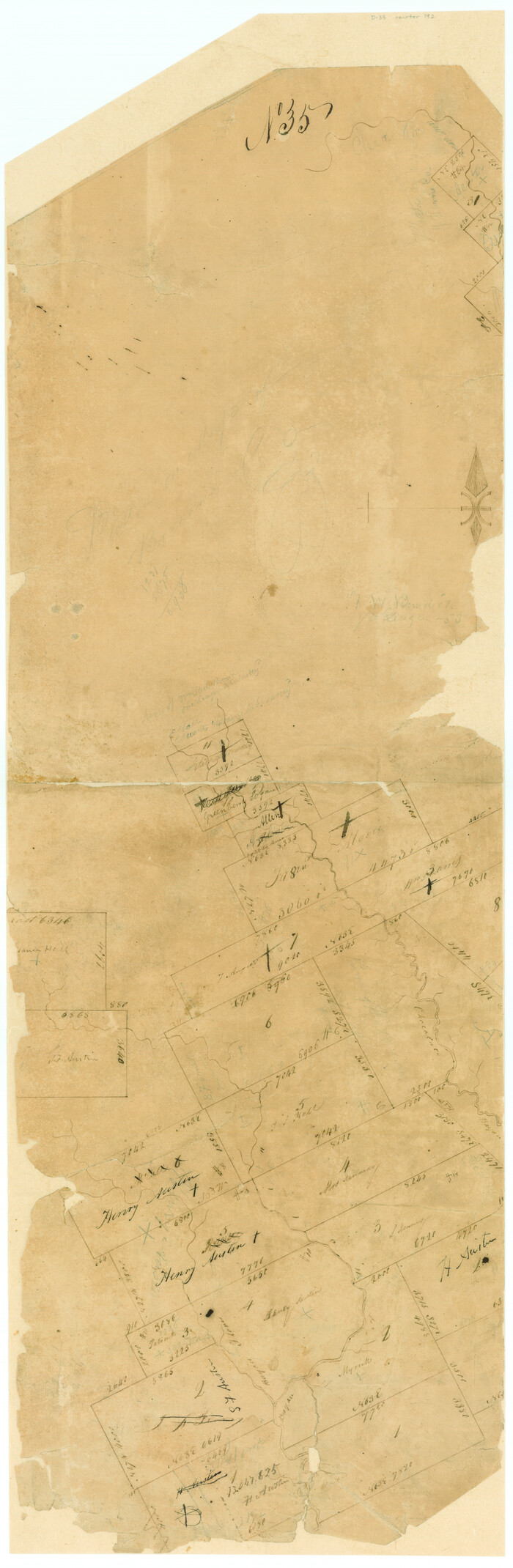
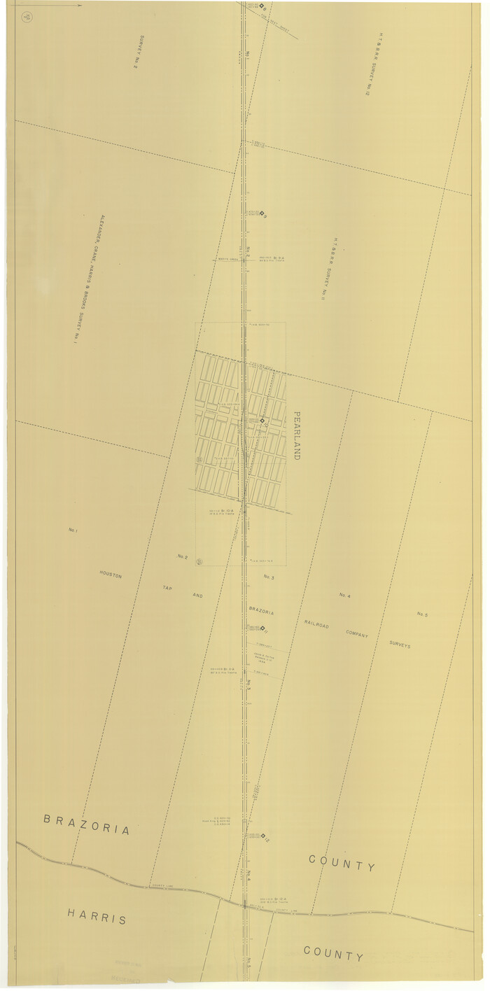
[Surveys in Austin's Colony along the Brazos River and Oyster Creek]
Print $20.00
- Digital $50.00
[Surveys in Austin's Colony along the Brazos River and Oyster Creek]
1824
Size: 23.1 x 17.2 inches
206
[Surveys in Austin's Colony along Chocolate Bayou and Austin Bayou]
Print $20.00
- Digital $50.00
[Surveys in Austin's Colony along Chocolate Bayou and Austin Bayou]
1830
Size: 32.9 x 10.8 inches
192
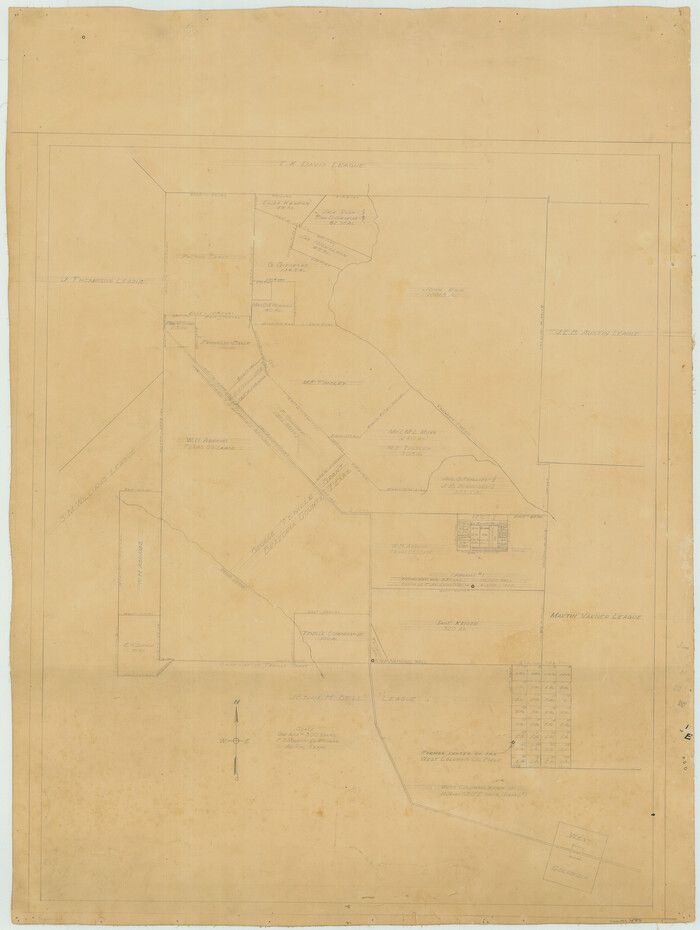
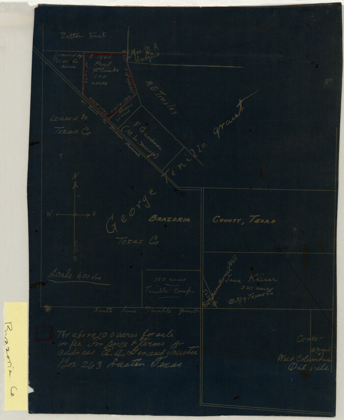
[Office Sketch Showing George Tenille Grant, Brazoria County, Texas]
Print $20.00
- Digital $50.00
[Office Sketch Showing George Tenille Grant, Brazoria County, Texas]
Size: 38.1 x 28.7 inches
75831
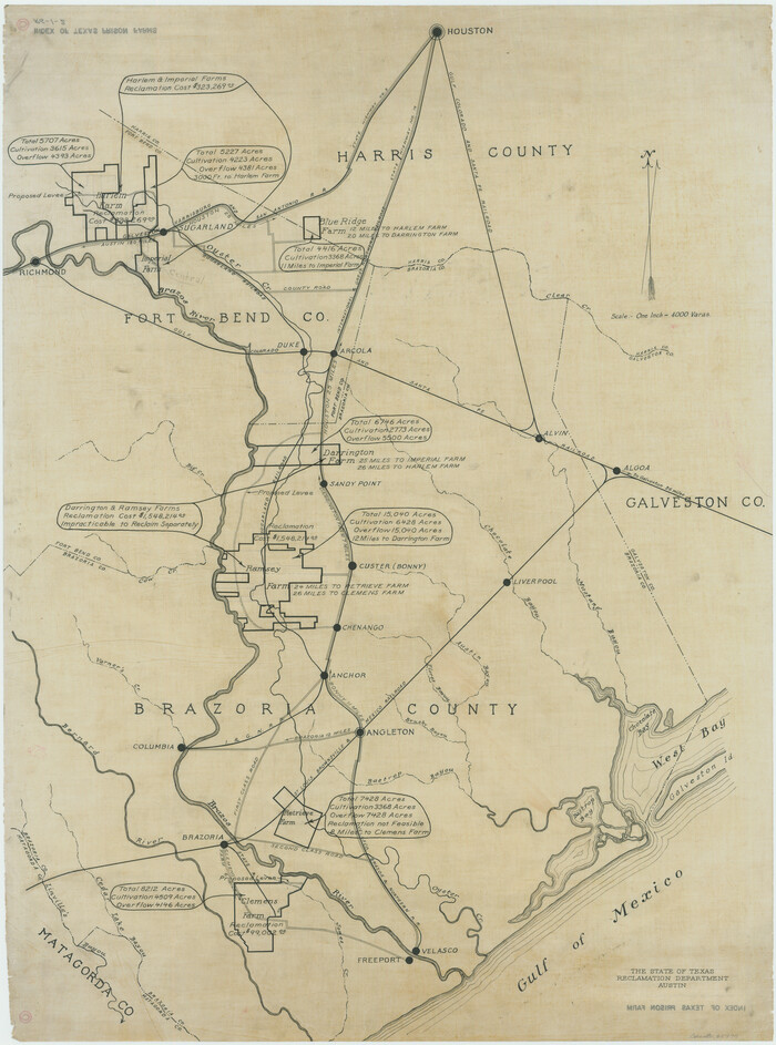
[Index of Texas Prison Farms]
Print $20.00
- Digital $50.00
[Index of Texas Prison Farms]
Size: 31.1 x 23.1 inches
62977
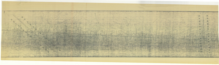
[Gulf, Colorado & Santa Fe]
Print $40.00
- Digital $50.00
[Gulf, Colorado & Santa Fe]
1918
Size: 31.4 x 117.0 inches
64590
[Gulf, Colorado & Santa Fe]
Print $40.00
- Digital $50.00
[Gulf, Colorado & Santa Fe]
1918
Size: 63.1 x 31.2 inches
64591
[Gulf, Colorado & Santa Fe]
Print $40.00
- Digital $50.00
[Gulf, Colorado & Santa Fe]
1918
Size: 33.2 x 110.5 inches
64592
[George Tenille Grant, Brazoria County, Texas]
Print $2.00
- Digital $50.00
[George Tenille Grant, Brazoria County, Texas]
Size: 11.2 x 9.2 inches
10751
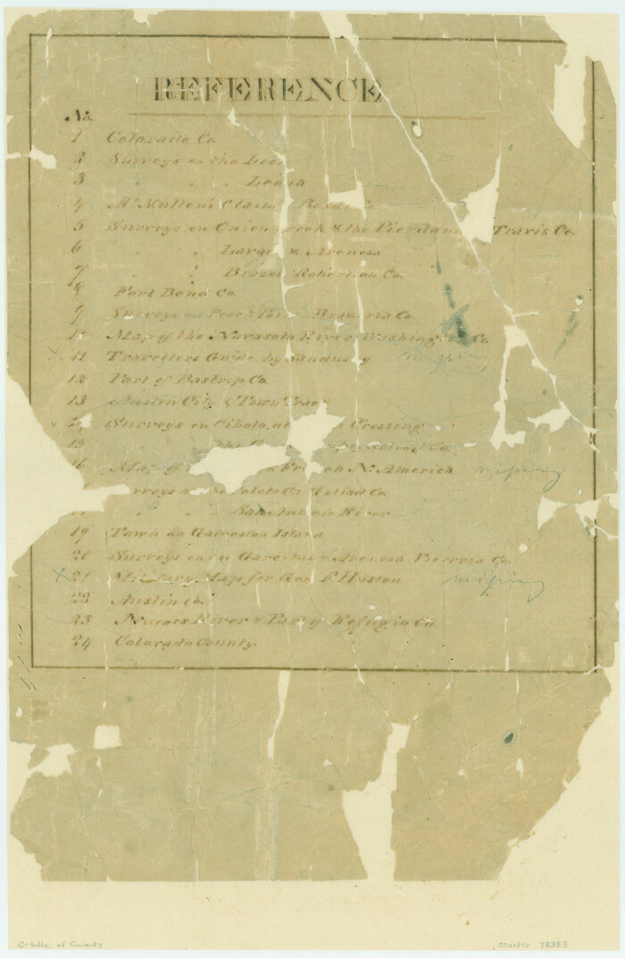
[Atlas C, Table of Contents]
Print $3.00
- Digital $50.00
[Atlas C, Table of Contents]
Size: 14.7 x 9.6 inches
78353
Working Sketch of surveys in Brazoria County, showing Cedar Lakes

Print $40.00
- Digital $50.00
Working Sketch of surveys in Brazoria County, showing Cedar Lakes
1950
Size: 31.2 x 57.3 inches
1932
Vicinity of San Luis Pass, Galveston Island, Texas

Print $40.00
- Digital $50.00
Vicinity of San Luis Pass, Galveston Island, Texas
1933
Size: 36.9 x 57.2 inches
69942
Vicinity of San Luis Pass, Galveston Island, Texas

Print $40.00
- Digital $50.00
Vicinity of San Luis Pass, Galveston Island, Texas
1933
Size: 37.1 x 57.8 inches
69943
Velasco, Brazoria County, Texas

Print $40.00
Velasco, Brazoria County, Texas
1891
Size: 67.2 x 50.5 inches
77055
The Republic County of Brazoria. Proposed, Late Fall 1837-January 1, 1838

Print $20.00
The Republic County of Brazoria. Proposed, Late Fall 1837-January 1, 1838
2020
Size: 13.0 x 21.7 inches
96110
The Republic County of Brazoria. Proposed, Late Fall 1837

Print $20.00
The Republic County of Brazoria. Proposed, Late Fall 1837
2020
Size: 13.0 x 21.7 inches
96109
The Republic County of Brazoria. May 15, 1838

Print $20.00
The Republic County of Brazoria. May 15, 1838
2020
Size: 14.7 x 21.8 inches
96112
The Republic County of Brazoria. January 20, 1841

Print $20.00
The Republic County of Brazoria. January 20, 1841
2020
Size: 14.7 x 21.8 inches
96114
The Republic County of Brazoria. January 1, 1838

Print $20.00
The Republic County of Brazoria. January 1, 1838
2020
Size: 14.7 x 21.8 inches
96111
The Republic County of Brazoria. December 29, 1845

Print $20.00
The Republic County of Brazoria. December 29, 1845
2020
Size: 14.7 x 21.8 inches
96115
The Republic County of Brazoria. December 16, 1839

Print $20.00
The Republic County of Brazoria. December 16, 1839
2020
Size: 14.7 x 21.8 inches
96113
Texas, San Bernard River, Cedar Lakes

Print $40.00
- Digital $50.00
Texas, San Bernard River, Cedar Lakes
1933
Size: 26.7 x 48.6 inches
69993
Texas, Brazos River, Freeport

Print $40.00
- Digital $50.00
Texas, Brazos River, Freeport
1933
Size: 28.4 x 48.3 inches
69994
Texas Intracoastal Waterway - Matagorda Bay, Cedar Lakes to Oyster Lake

Print $20.00
- Digital $50.00
Texas Intracoastal Waterway - Matagorda Bay, Cedar Lakes to Oyster Lake
1956
Size: 27.3 x 38.9 inches
73367
Texas Intracoastal Waterway - Matagorda Bay, Cedar Lakes to Oyster Lake

Print $20.00
- Digital $50.00
Texas Intracoastal Waterway - Matagorda Bay, Cedar Lakes to Oyster Lake
1960
Size: 27.2 x 38.9 inches
73369
Texas Gulf Coast, from the Sabine River to the Rio Grande as Subdivided for Mineral Development; Galveston, Brazoria and Matagorda Counties

Print $40.00
- Digital $50.00
Texas Gulf Coast, from the Sabine River to the Rio Grande as Subdivided for Mineral Development; Galveston, Brazoria and Matagorda Counties
1976
Size: 43.8 x 69.3 inches
1938
Texas Gulf Coast from the Sabine River to the Rio Grande Showing Location of Navigation Districts

Print $20.00
- Digital $50.00
Texas Gulf Coast from the Sabine River to the Rio Grande Showing Location of Navigation Districts
1954
Size: 45.0 x 43.8 inches
73596
Texas Gulf Coast Map from the Sabine River to the Rio Grande as subdivided for mineral development

Print $40.00
- Digital $50.00
Texas Gulf Coast Map from the Sabine River to the Rio Grande as subdivided for mineral development
1966
Size: 42.8 x 69.7 inches
2497
Surveys East of Cedar Lake

Print $20.00
- Digital $50.00
Surveys East of Cedar Lake
1824
Size: 13.3 x 20.9 inches
210
Sketch showing Damon's Mound and adjacent surveys

Print $20.00
- Digital $50.00
Sketch showing Damon's Mound and adjacent surveys
Size: 19.4 x 17.7 inches
90218
[Surveys in Austin's Colony along the east side of the Brazos River]
Print $20.00
- Digital $50.00
[Surveys in Austin's Colony along the east side of the Brazos River]
1824
-
Size
26.7 x 8.4 inches
-
Map/Doc
191
-
Creation Date
1824
[Surveys in Austin's Colony along the Brazos River and Oyster Creek]
Print $20.00
- Digital $50.00
[Surveys in Austin's Colony along the Brazos River and Oyster Creek]
1824
-
Size
23.1 x 17.2 inches
-
Map/Doc
206
-
Creation Date
1824
[Surveys in Austin's Colony along Chocolate Bayou and Austin Bayou]
Print $20.00
- Digital $50.00
[Surveys in Austin's Colony along Chocolate Bayou and Austin Bayou]
1830
-
Size
32.9 x 10.8 inches
-
Map/Doc
192
-
Creation Date
1830
[Office Sketch Showing George Tenille Grant, Brazoria County, Texas]
Print $20.00
- Digital $50.00
[Office Sketch Showing George Tenille Grant, Brazoria County, Texas]
-
Size
38.1 x 28.7 inches
-
Map/Doc
75831
[Index of Texas Prison Farms]
Print $20.00
- Digital $50.00
[Index of Texas Prison Farms]
-
Size
31.1 x 23.1 inches
-
Map/Doc
62977
[Gulf, Colorado & Santa Fe]
Print $40.00
- Digital $50.00
[Gulf, Colorado & Santa Fe]
1918
-
Size
31.4 x 117.0 inches
-
Map/Doc
64590
-
Creation Date
1918
[Gulf, Colorado & Santa Fe]
Print $40.00
- Digital $50.00
[Gulf, Colorado & Santa Fe]
1918
-
Size
63.1 x 31.2 inches
-
Map/Doc
64591
-
Creation Date
1918
[Gulf, Colorado & Santa Fe]
Print $40.00
- Digital $50.00
[Gulf, Colorado & Santa Fe]
1918
-
Size
33.2 x 110.5 inches
-
Map/Doc
64592
-
Creation Date
1918
[George Tenille Grant, Brazoria County, Texas]
Print $2.00
- Digital $50.00
[George Tenille Grant, Brazoria County, Texas]
-
Size
11.2 x 9.2 inches
-
Map/Doc
10751
[Atlas C, Table of Contents]
Print $3.00
- Digital $50.00
[Atlas C, Table of Contents]
-
Size
14.7 x 9.6 inches
-
Map/Doc
78353
Working Sketch of surveys in Brazoria County, showing Cedar Lakes
Print $40.00
- Digital $50.00
Working Sketch of surveys in Brazoria County, showing Cedar Lakes
1950
-
Size
31.2 x 57.3 inches
-
Map/Doc
1932
-
Creation Date
1950
Vicinity of San Luis Pass, Galveston Island, Texas
Print $40.00
- Digital $50.00
Vicinity of San Luis Pass, Galveston Island, Texas
1933
-
Size
36.9 x 57.2 inches
-
Map/Doc
69942
-
Creation Date
1933
Vicinity of San Luis Pass, Galveston Island, Texas
Print $40.00
- Digital $50.00
Vicinity of San Luis Pass, Galveston Island, Texas
1933
-
Size
37.1 x 57.8 inches
-
Map/Doc
69943
-
Creation Date
1933
Velasco, Brazoria County, Texas
Print $40.00
Velasco, Brazoria County, Texas
1891
-
Size
67.2 x 50.5 inches
-
Map/Doc
77055
-
Creation Date
1891
The Republic County of Brazoria. Proposed, Late Fall 1837-January 1, 1838
Print $20.00
The Republic County of Brazoria. Proposed, Late Fall 1837-January 1, 1838
2020
-
Size
13.0 x 21.7 inches
-
Map/Doc
96110
-
Creation Date
2020
The Republic County of Brazoria. Proposed, Late Fall 1837
Print $20.00
The Republic County of Brazoria. Proposed, Late Fall 1837
2020
-
Size
13.0 x 21.7 inches
-
Map/Doc
96109
-
Creation Date
2020
The Republic County of Brazoria. May 15, 1838
Print $20.00
The Republic County of Brazoria. May 15, 1838
2020
-
Size
14.7 x 21.8 inches
-
Map/Doc
96112
-
Creation Date
2020
The Republic County of Brazoria. January 20, 1841
Print $20.00
The Republic County of Brazoria. January 20, 1841
2020
-
Size
14.7 x 21.8 inches
-
Map/Doc
96114
-
Creation Date
2020
The Republic County of Brazoria. January 1, 1838
Print $20.00
The Republic County of Brazoria. January 1, 1838
2020
-
Size
14.7 x 21.8 inches
-
Map/Doc
96111
-
Creation Date
2020
The Republic County of Brazoria. December 29, 1845
Print $20.00
The Republic County of Brazoria. December 29, 1845
2020
-
Size
14.7 x 21.8 inches
-
Map/Doc
96115
-
Creation Date
2020
The Republic County of Brazoria. December 16, 1839
Print $20.00
The Republic County of Brazoria. December 16, 1839
2020
-
Size
14.7 x 21.8 inches
-
Map/Doc
96113
-
Creation Date
2020
Texas, San Bernard River, Cedar Lakes
Print $40.00
- Digital $50.00
Texas, San Bernard River, Cedar Lakes
1933
-
Size
26.7 x 48.6 inches
-
Map/Doc
69993
-
Creation Date
1933
Texas, Brazos River, Freeport
Print $40.00
- Digital $50.00
Texas, Brazos River, Freeport
1933
-
Size
28.4 x 48.3 inches
-
Map/Doc
69994
-
Creation Date
1933
Texas Intracoastal Waterway - Matagorda Bay, Cedar Lakes to Oyster Lake
Print $20.00
- Digital $50.00
Texas Intracoastal Waterway - Matagorda Bay, Cedar Lakes to Oyster Lake
1956
-
Size
27.3 x 38.9 inches
-
Map/Doc
73367
-
Creation Date
1956
Texas Intracoastal Waterway - Matagorda Bay, Cedar Lakes to Oyster Lake
Print $20.00
- Digital $50.00
Texas Intracoastal Waterway - Matagorda Bay, Cedar Lakes to Oyster Lake
1960
-
Size
27.2 x 38.9 inches
-
Map/Doc
73369
-
Creation Date
1960
Texas Gulf Coast, from the Sabine River to the Rio Grande as Subdivided for Mineral Development; Galveston, Brazoria and Matagorda Counties
Print $40.00
- Digital $50.00
Texas Gulf Coast, from the Sabine River to the Rio Grande as Subdivided for Mineral Development; Galveston, Brazoria and Matagorda Counties
1976
-
Size
43.8 x 69.3 inches
-
Map/Doc
1938
-
Creation Date
1976
Texas Gulf Coast from the Sabine River to the Rio Grande Showing Location of Navigation Districts
Print $20.00
- Digital $50.00
Texas Gulf Coast from the Sabine River to the Rio Grande Showing Location of Navigation Districts
1954
-
Size
45.0 x 43.8 inches
-
Map/Doc
73596
-
Creation Date
1954
Texas Gulf Coast Map from the Sabine River to the Rio Grande as subdivided for mineral development
Print $40.00
- Digital $50.00
Texas Gulf Coast Map from the Sabine River to the Rio Grande as subdivided for mineral development
1966
-
Size
42.8 x 69.7 inches
-
Map/Doc
2497
-
Creation Date
1966
Surveys East of Cedar Lake
Print $20.00
- Digital $50.00
Surveys East of Cedar Lake
1824
-
Size
13.3 x 20.9 inches
-
Map/Doc
210
-
Creation Date
1824
Sketch showing Damon's Mound and adjacent surveys
Print $20.00
- Digital $50.00
Sketch showing Damon's Mound and adjacent surveys
-
Size
19.4 x 17.7 inches
-
Map/Doc
90218