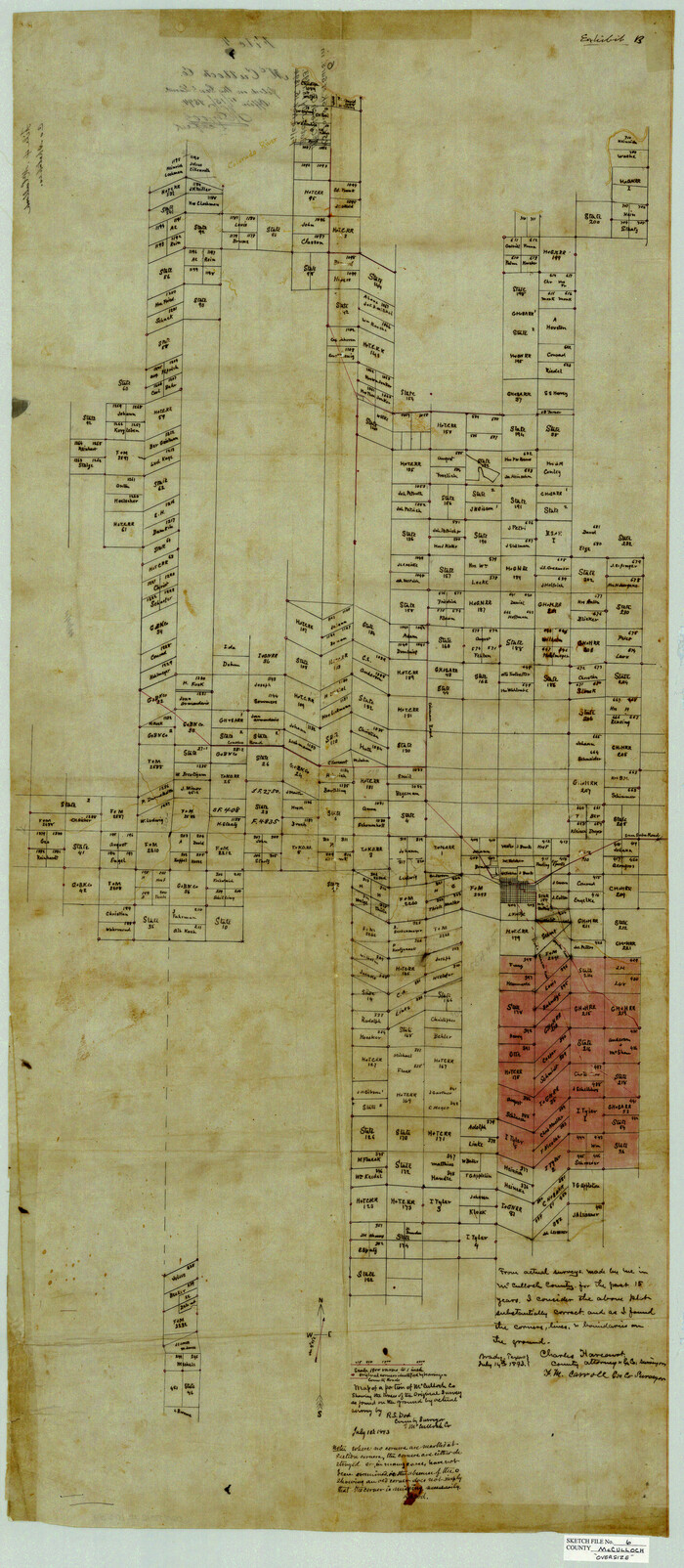
McCulloch County Sketch File 6
1893

Menard County Sketch File 5
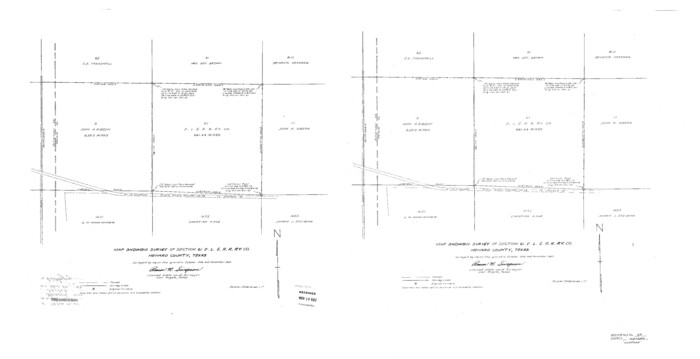
Menard County Sketch File 29
1962

Concho County Sketch File 22

Menard County Sketch File 4
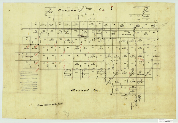
Menard County Sketch File 8
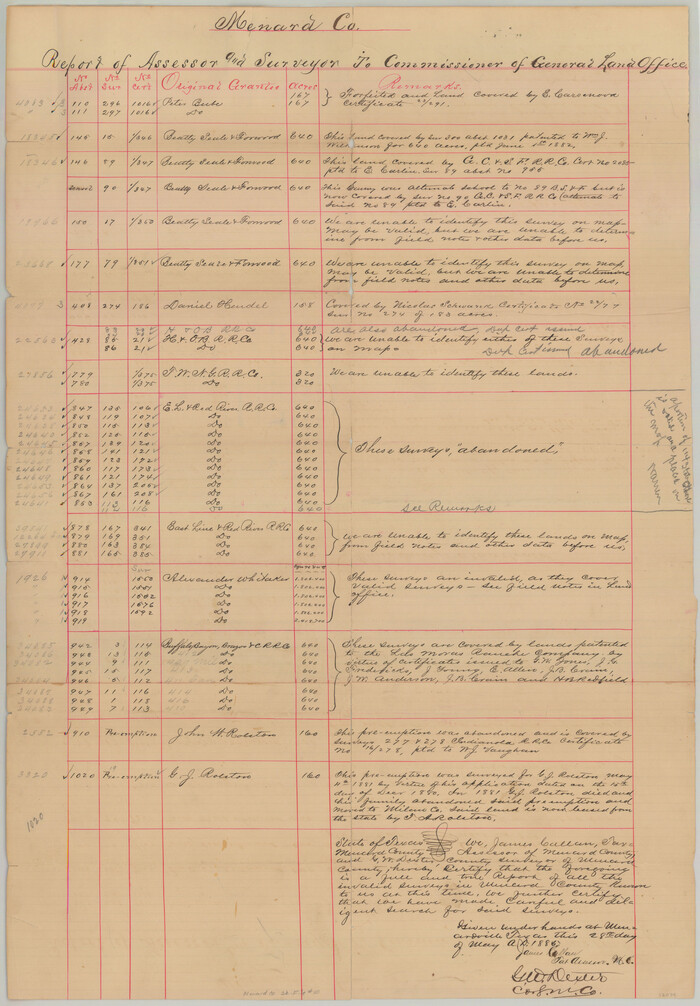
Menard County Sketch File 10
1885

Menard County Sketch File 17
1914
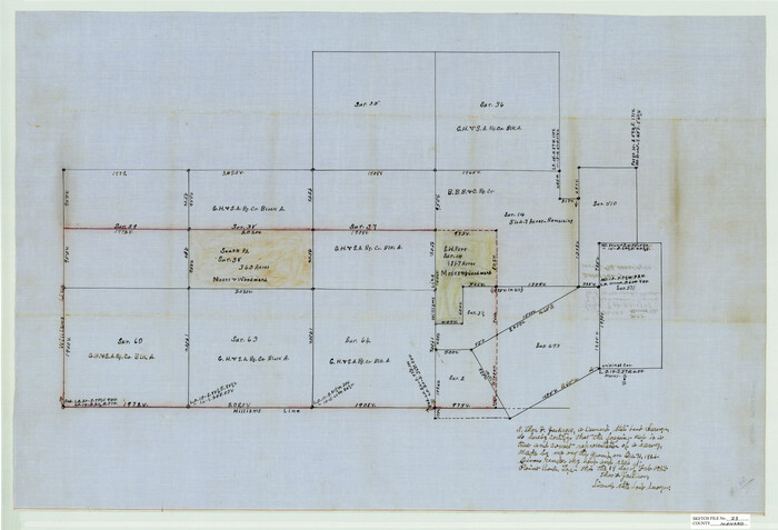
Menard County Sketch File 23
1927

Menard County Sketch File 24
1932

Menard County Sketch File 25A
1936

Tom Green County Sketch File 46 1/2
1882
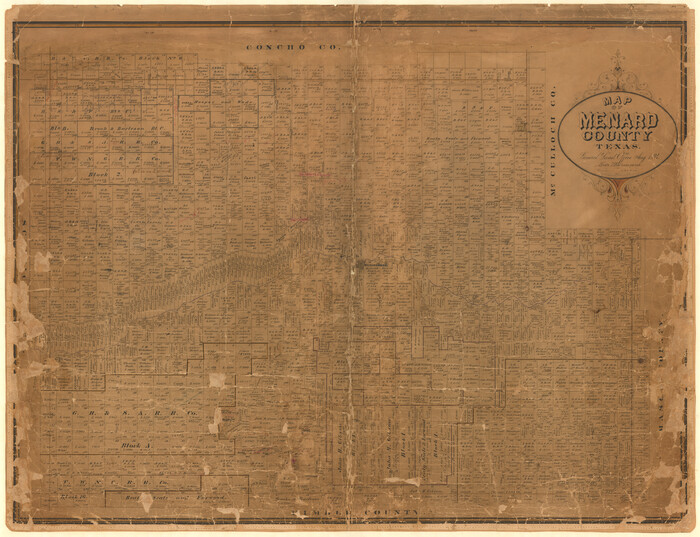
Map of Menard County
1894

Map of Fisher and Miller's Colony made from the records in the Office of the District Surveyor of Bexar comprising also all the recent surveys
1855

Kimble County Sketch File 16
1886

Mason County Sketch File 11
1883
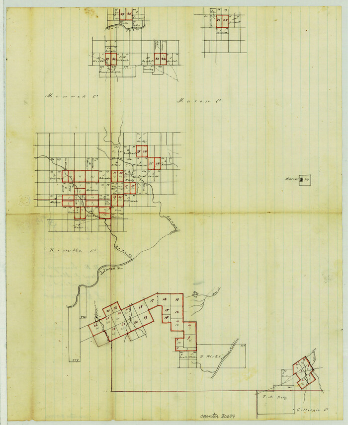
Mason County Sketch File 12

Mason County Sketch File 24
1959
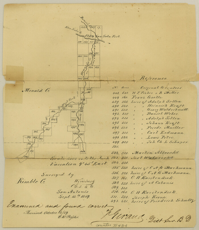
Menard County Sketch File 1
1859

Menard County Sketch File 2
1881

Menard County Sketch File 3
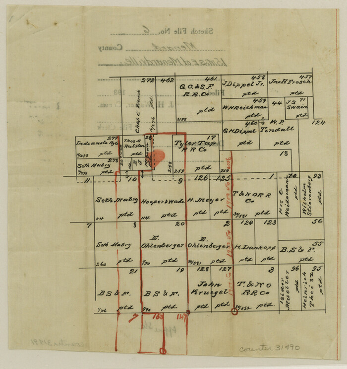
Menard County Sketch File 6
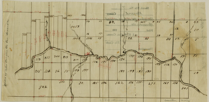
Menard County Sketch File 7

Menard County Sketch File 9
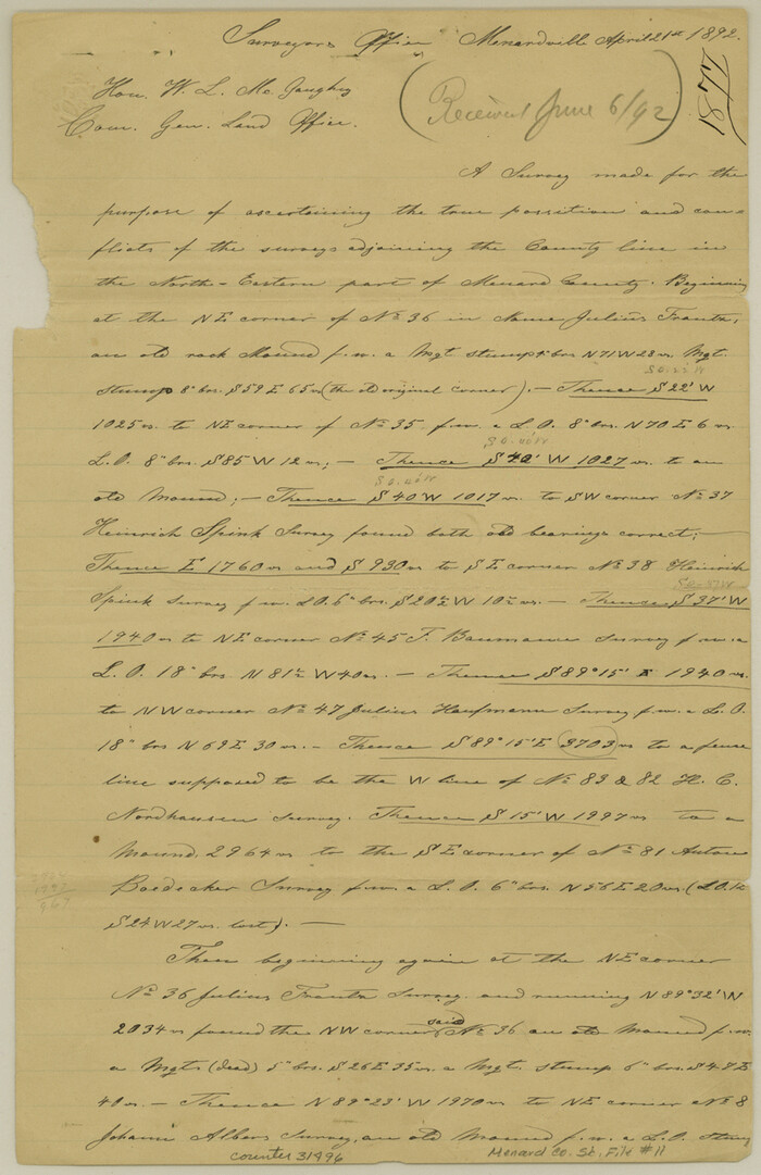
Menard County Sketch File 11
1892
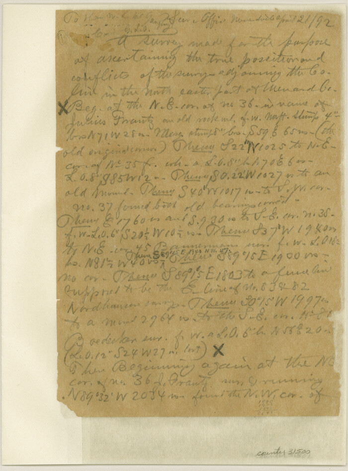
Menard County Sketch File 12
1892

Menard County Sketch File 13
1892
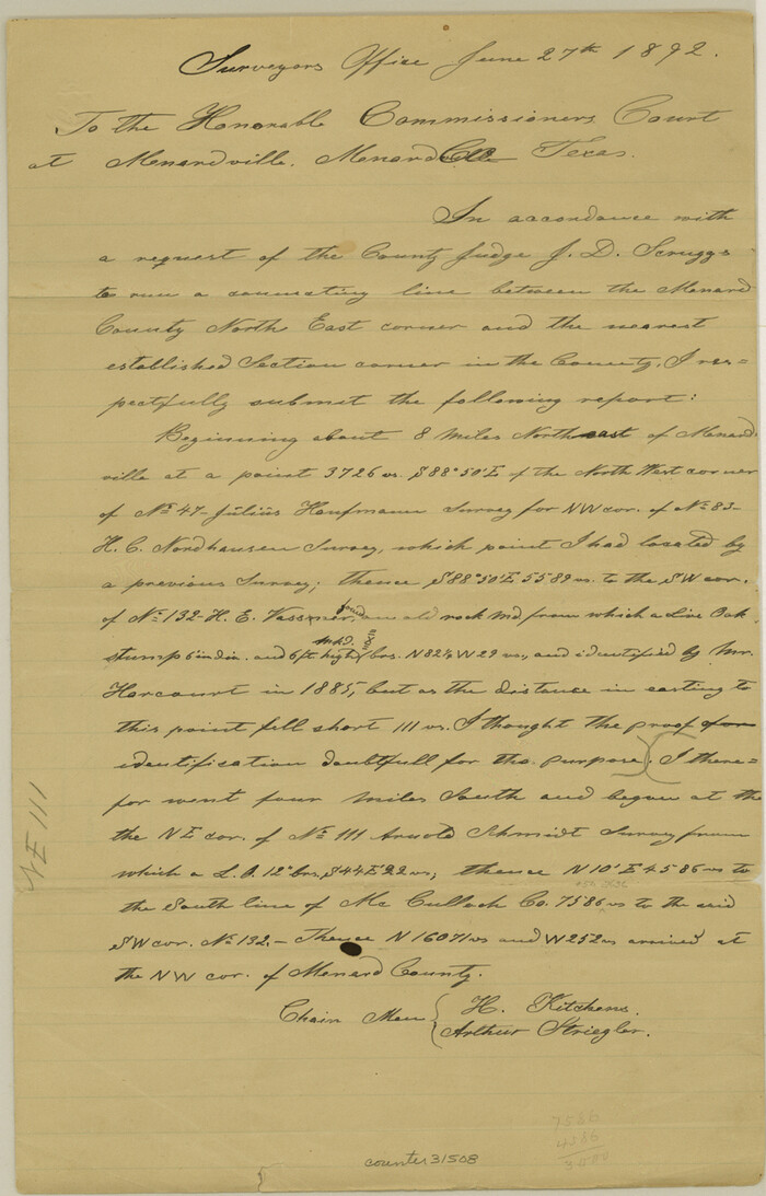
Menard County Sketch File 14
1892

Menard County Sketch File 15
1892
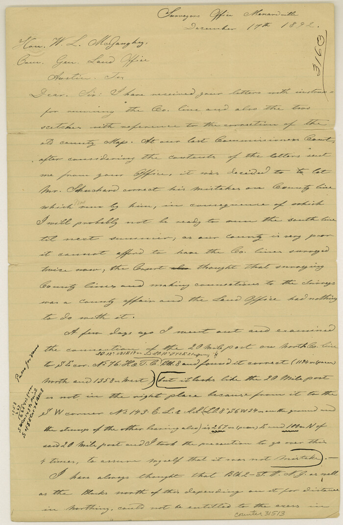
Menard County Sketch File 16
1892

McCulloch County Sketch File 6
1893
-
Size
44.2 x 19.3 inches
-
Map/Doc
10539
-
Creation Date
1893

Menard County Sketch File 5
-
Size
5.6 x 43.3 inches
-
Map/Doc
10542

Menard County Sketch File 29
1962
-
Size
21.0 x 41.1 inches
-
Map/Doc
10543
-
Creation Date
1962

Concho County Sketch File 22
-
Size
24.9 x 18.1 inches
-
Map/Doc
11155

Menard County Sketch File 4
-
Size
18.3 x 25.5 inches
-
Map/Doc
12072

Menard County Sketch File 8
-
Size
19.7 x 28.5 inches
-
Map/Doc
12073

Menard County Sketch File 10
1885
-
Size
32.5 x 18.0 inches
-
Map/Doc
12074
-
Creation Date
1885

Menard County Sketch File 17
1914
-
Size
35.4 x 20.1 inches
-
Map/Doc
12075
-
Creation Date
1914

Menard County Sketch File 23
1927
-
Size
21.2 x 31.1 inches
-
Map/Doc
12076
-
Creation Date
1927

Menard County Sketch File 24
1932
-
Size
17.0 x 26.5 inches
-
Map/Doc
12077
-
Creation Date
1932

Menard County Sketch File 25A
1936
-
Size
23.0 x 17.8 inches
-
Map/Doc
12078
-
Creation Date
1936

Tom Green County Sketch File 46 1/2
1882
-
Size
12.7 x 19.6 inches
-
Map/Doc
12440
-
Creation Date
1882

Map of Menard County
1894
-
Size
32.1 x 41.8 inches
-
Map/Doc
1320
-
Creation Date
1894

Map of Fisher and Miller's Colony made from the records in the Office of the District Surveyor of Bexar comprising also all the recent surveys
1855
-
Size
23.7 x 35.2 inches
-
Map/Doc
1971
-
Creation Date
1855

Kimble County Sketch File 16
1886
-
Size
8.5 x 7.9 inches
-
Map/Doc
28942
-
Creation Date
1886

Mason County Sketch File 11
1883
-
Size
13.5 x 8.6 inches
-
Map/Doc
30695
-
Creation Date
1883

Mason County Sketch File 12
-
Size
15.8 x 12.9 inches
-
Map/Doc
30699

Mason County Sketch File 24
1959
-
Size
15.0 x 15.2 inches
-
Map/Doc
30726
-
Creation Date
1959

Menard County Sketch File 1
1859
-
Size
9.8 x 8.5 inches
-
Map/Doc
31484
-
Creation Date
1859

Menard County Sketch File 2
1881
-
Size
7.9 x 12.8 inches
-
Map/Doc
31486
-
Creation Date
1881

Menard County Sketch File 3
-
Size
16.3 x 12.9 inches
-
Map/Doc
31488

Menard County Sketch File 6
-
Size
7.6 x 7.2 inches
-
Map/Doc
31490

Menard County Sketch File 7
-
Size
5.8 x 12.0 inches
-
Map/Doc
31492

Menard County Sketch File 9
-
Size
10.7 x 8.2 inches
-
Map/Doc
31494

Menard County Sketch File 11
1892
-
Size
12.8 x 8.3 inches
-
Map/Doc
31496
-
Creation Date
1892

Menard County Sketch File 12
1892
-
Size
11.1 x 8.2 inches
-
Map/Doc
31500
-
Creation Date
1892

Menard County Sketch File 13
1892
-
Size
12.8 x 8.2 inches
-
Map/Doc
31506
-
Creation Date
1892

Menard County Sketch File 14
1892
-
Size
12.8 x 8.2 inches
-
Map/Doc
31508
-
Creation Date
1892

Menard County Sketch File 15
1892
-
Size
12.9 x 8.3 inches
-
Map/Doc
31510
-
Creation Date
1892

Menard County Sketch File 16
1892
-
Size
12.8 x 8.4 inches
-
Map/Doc
31513
-
Creation Date
1892