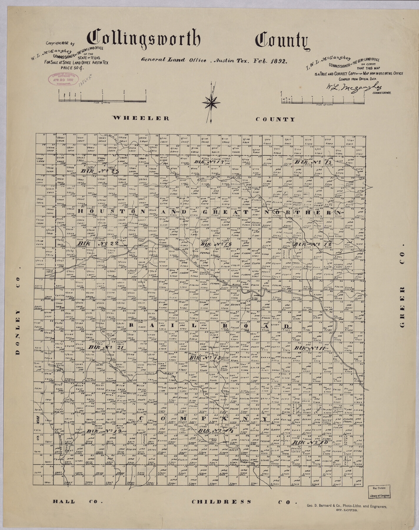
Collingsworth County
-
Map/Doc
88918
-
Collection
Library of Congress
-
Object Dates
2/1892 (Creation Date)
-
People and Organizations
General Land Office (Publisher)
George D. Barnard and Company (Printer)
W.L. McGaughey (GLO Commissioner)
-
Counties
Collingsworth
-
Subjects
County
-
Height x Width
24.5 x 19.4 inches
62.2 x 49.3 cm
-
Comments
Prints available from the GLO courtesy of Library of Congress, Geography and Map Division. Map notes that "For Sale at State Land Office Austin Tex, Price $0.50"
Part of: Library of Congress
![88957, Hutchinson Co[unty], Library of Congress](https://historictexasmaps.com/wmedia_w700/maps/88957.tif.jpg)
Map of Jones County, Texas

Print $20.00
Map of Jones County, Texas
1879
Size 24.7 x 18.8 inches
Map/Doc 88960

Greenville, Tex., County Seat of Hunt County, 1886

Print $20.00
Greenville, Tex., County Seat of Hunt County, 1886
1886
Size 20.4 x 28.3 inches
Map/Doc 93476
Natural provinces : [Texas].
![93576, Natural provinces : [Texas]., Library of Congress](https://historictexasmaps.com/wmedia_w700/maps/93576.tif.jpg)
Print $20.00
Natural provinces : [Texas].
1899
Size 14.2 x 15.4 inches
Map/Doc 93576
Provincias internas del reyno de Nuevo España

Print $20.00
Provincias internas del reyno de Nuevo España
1846
Size 30.7 x 23.6 inches
Map/Doc 93578

Map of Callahan Co[unty]
![88916, Map of Callahan Co[unty], Library of Congress](https://historictexasmaps.com/wmedia_w700/maps/88916.tif.jpg)
Print $20.00
Map of Callahan Co[unty]
1879
Size 24.7 x 18.5 inches
Map/Doc 88916
Map of Texas With Parts of the Adjoining States

Print $20.00
Map of Texas With Parts of the Adjoining States
1837
Size 29.9 x 25.2 inches
Map/Doc 88998

A Map of Mexico, Louisiana and the Missouri Territory, including also the State of Mississippi, Alabama Territory, East & West Florida, Georgia, South Carolina & part of the Island of Cuba

Print $40.00
A Map of Mexico, Louisiana and the Missouri Territory, including also the State of Mississippi, Alabama Territory, East & West Florida, Georgia, South Carolina & part of the Island of Cuba
Size 66.9 x 64.2 inches
Map/Doc 95312
Map of Portions of Eastland, Brown and Comanche Counties

Print $20.00
Map of Portions of Eastland, Brown and Comanche Counties
Size 21.7 x 16.7 inches
Map/Doc 88926
You may also like
St Francis situated in Potter and Carson Counties, Texas

Print $20.00
- Digital $50.00
St Francis situated in Potter and Carson Counties, Texas
Size 22.4 x 27.7 inches
Map/Doc 93082
Brazoria County Rolled Sketch AH

Print $20.00
- Digital $50.00
Brazoria County Rolled Sketch AH
Size 43.9 x 31.2 inches
Map/Doc 10714
Flight Mission No. DQN-2K, Frame 143, Calhoun County

Print $20.00
- Digital $50.00
Flight Mission No. DQN-2K, Frame 143, Calhoun County
1953
Size 18.7 x 22.3 inches
Map/Doc 84312
[Map of Parker County]
![3941, [Map of Parker County], General Map Collection](https://historictexasmaps.com/wmedia_w700/maps/3941.tif.jpg)
Print $20.00
- Digital $50.00
[Map of Parker County]
Size 22.0 x 34.0 inches
Map/Doc 3941
Pecos County Working Sketch 68

Print $20.00
- Digital $50.00
Pecos County Working Sketch 68
1955
Size 41.4 x 24.0 inches
Map/Doc 71540
Tarrant County Working Sketch 17

Print $20.00
- Digital $50.00
Tarrant County Working Sketch 17
1983
Size 24.6 x 20.7 inches
Map/Doc 62434
Briscoe County

Print $20.00
- Digital $50.00
Briscoe County
1930
Size 42.5 x 35.8 inches
Map/Doc 77222
Presidio County Rolled Sketch A-2A

Print $20.00
- Digital $50.00
Presidio County Rolled Sketch A-2A
Size 34.1 x 15.9 inches
Map/Doc 7406
Map of Caldwell County

Print $20.00
- Digital $50.00
Map of Caldwell County
1871
Size 16.9 x 19.9 inches
Map/Doc 4591
Harrison County Working Sketch 34

Print $20.00
- Digital $50.00
Harrison County Working Sketch 34
2015
Size 13.7 x 17.9 inches
Map/Doc 93726
Duval County Working Sketch 46

Print $20.00
- Digital $50.00
Duval County Working Sketch 46
1980
Size 29.4 x 27.2 inches
Map/Doc 68770
Collingsworth County Working Sketch 2

Print $40.00
- Digital $50.00
Collingsworth County Working Sketch 2
1957
Size 44.2 x 122.7 inches
Map/Doc 68090