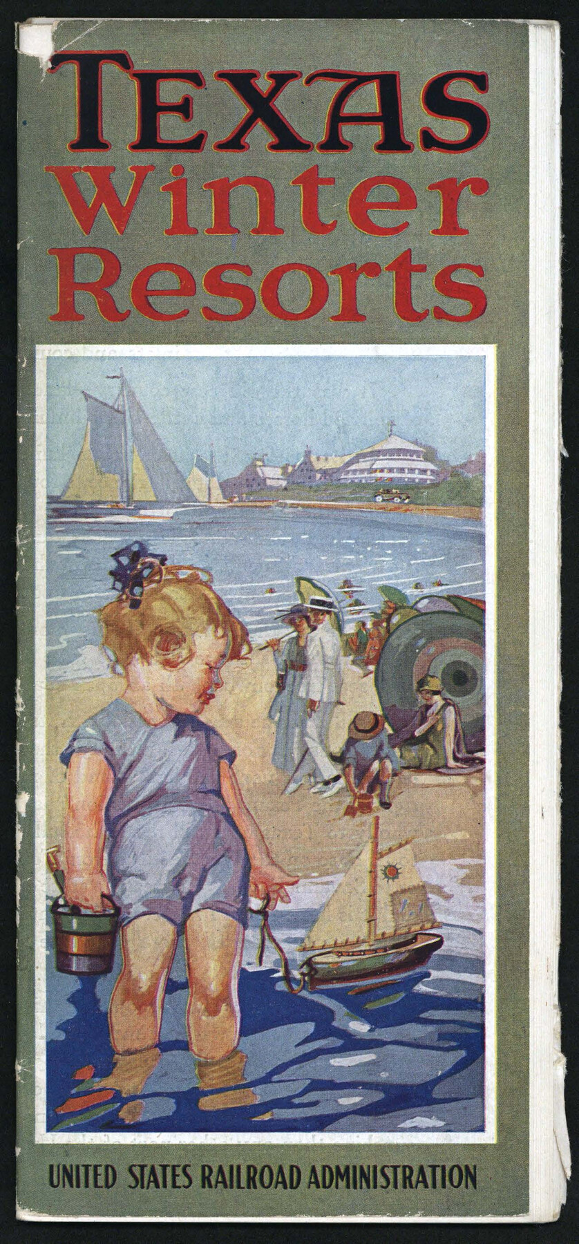
Texas Winter Resorts
-
Map/Doc
97041
-
Collection
Cobb Digital Map Collection
-
Object Dates
[1920 ca.] (Creation Date)
-
People and Organizations
United States Railroad Administration (Publisher)
-
Height x Width
9.4 x 4.4 inches
23.9 x 11.2 cm
-
Medium
booklet
-
Comments
Courtesy of John & Diana Cobb.
Part of: Cobb Digital Map Collection
Clason's Guide Map of Texas

Print $20.00
- Digital $50.00
Clason's Guide Map of Texas
1920
Size 20.6 x 22.5 inches
Map/Doc 95896
Map of the Texas & Pacific Railway and connections

Print $20.00
- Digital $50.00
Map of the Texas & Pacific Railway and connections
1899
Size 17.8 x 36.3 inches
Map/Doc 95766
Colonists' and Emigrants' Route to Texas

Print $20.00
- Digital $50.00
Colonists' and Emigrants' Route to Texas
1878
Size 14.8 x 23.7 inches
Map/Doc 95777
Rand, McNally & Co.'s New Official Railroad Map of the United States and Canada

Print $20.00
- Digital $50.00
Rand, McNally & Co.'s New Official Railroad Map of the United States and Canada
1883
Size 28.8 x 43.9 inches
Map/Doc 95857
Sectional Map of Texas traversed by the Southern Pacific Lines and connections

Print $20.00
- Digital $50.00
Sectional Map of Texas traversed by the Southern Pacific Lines and connections
1916
Size 20.6 x 22.3 inches
Map/Doc 95800
Map of the Missouri, Kansas, & Texas Railway and Connecting Lines

Print $20.00
- Digital $50.00
Map of the Missouri, Kansas, & Texas Railway and Connecting Lines
Size 11.2 x 17.2 inches
Map/Doc 96599

Land fur Federmann und eine Heimath fur Heimathlose!

Land fur Federmann und eine Heimath fur Heimathlose!
1901
Map/Doc 96749
Rand, McNally Official 1922 Auto Trails Map, District Number 18

Print $20.00
- Digital $50.00
Rand, McNally Official 1922 Auto Trails Map, District Number 18
1922
Size 27.1 x 34.7 inches
Map/Doc 95887
The Rand McNally New Commercial Atlas Map of Texas

Print $20.00
- Digital $50.00
The Rand McNally New Commercial Atlas Map of Texas
1914
Size 28.6 x 40.2 inches
Map/Doc 95849

What to See - Where to Go in El Paso, Texas

What to See - Where to Go in El Paso, Texas
1929
Size 9.4 x 8.4 inches
Map/Doc 97048
You may also like
Glasscock County Sketch File 13

Print $20.00
- Digital $50.00
Glasscock County Sketch File 13
1935
Size 18.8 x 17.8 inches
Map/Doc 11562
Eastland County Working Sketch 7

Print $3.00
- Digital $50.00
Eastland County Working Sketch 7
1918
Size 15.6 x 10.7 inches
Map/Doc 68788
Main Line Routes of the Santa Fe Lines

Main Line Routes of the Santa Fe Lines
Size 12.1 x 18.1 inches
Map/Doc 94157
Angelina County Sketch File 14

Print $2.00
- Digital $50.00
Angelina County Sketch File 14
Size 7.6 x 6.9 inches
Map/Doc 12959
Travis County Appraisal District Plat Map 2_2105

Print $20.00
- Digital $50.00
Travis County Appraisal District Plat Map 2_2105
Size 21.6 x 26.5 inches
Map/Doc 94200
Stonewall County Sketch File 4

Print $20.00
- Digital $50.00
Stonewall County Sketch File 4
Size 18.2 x 25.7 inches
Map/Doc 12363
Brewster County Rolled Sketch 156

Print $156.00
- Digital $50.00
Brewster County Rolled Sketch 156
2005
Map/Doc 85390
Webb County Rolled Sketch 8

Print $20.00
- Digital $50.00
Webb County Rolled Sketch 8
Size 26.7 x 19.2 inches
Map/Doc 8174
Texas, Brazos River, Freeport

Print $40.00
- Digital $50.00
Texas, Brazos River, Freeport
1933
Size 28.4 x 48.3 inches
Map/Doc 69994

Cass County Sketch File 23

Print $10.00
- Digital $50.00
Cass County Sketch File 23
1936
Size 14.1 x 8.6 inches
Map/Doc 17435
Map of the Town of Harrold, Wilbarger County, Texas on the line of the Fort Worth and Denver City Railway

Print $20.00
- Digital $50.00
Map of the Town of Harrold, Wilbarger County, Texas on the line of the Fort Worth and Denver City Railway
1887
Size 31.2 x 28.6 inches
Map/Doc 2186