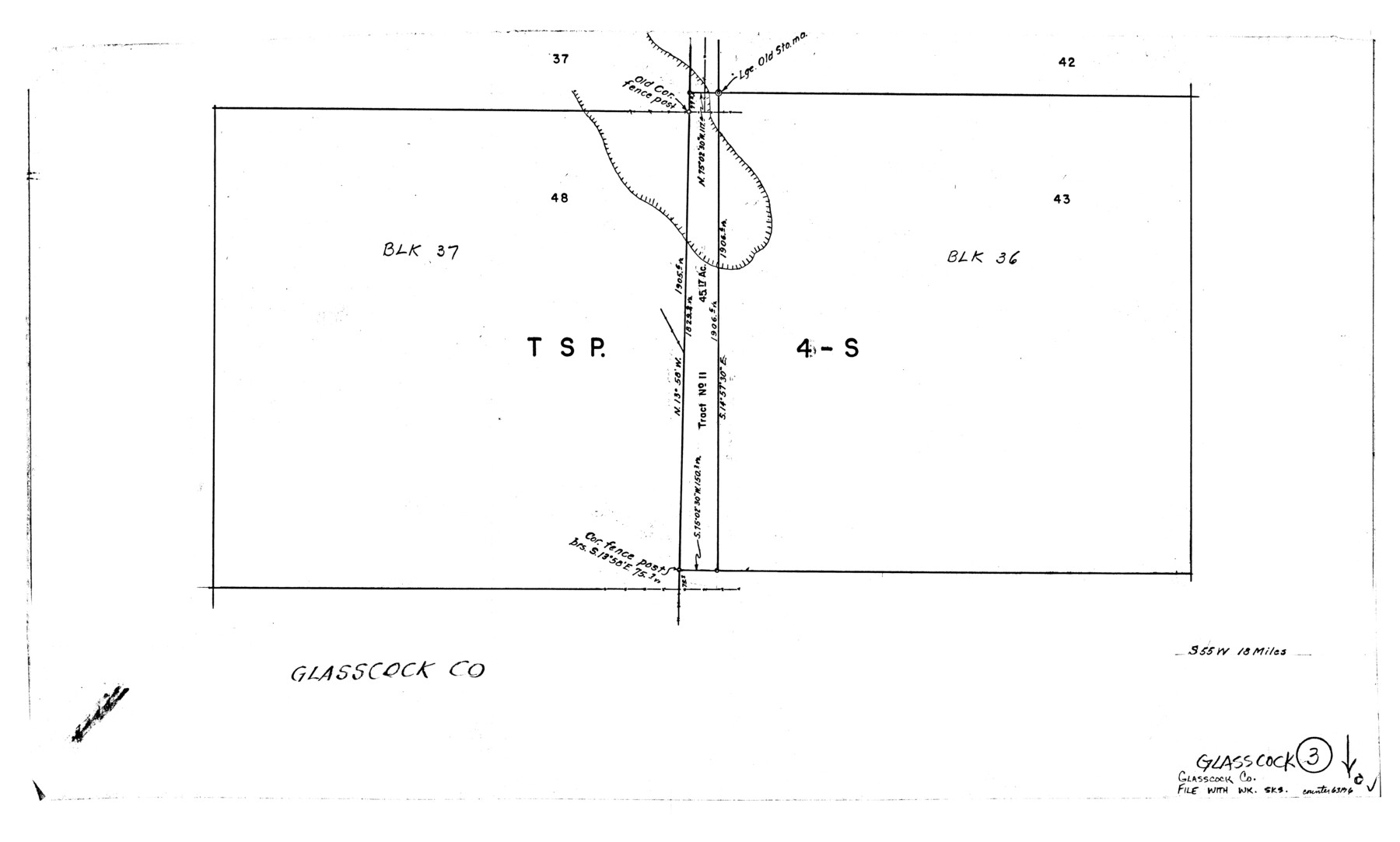
Glasscock County Working Sketch 3
-
Map/Doc
63176
-
Collection
General Map Collection
-
Counties
Glasscock
-
Subjects
Surveying Working Sketch
-
Height x Width
16.8 x 28.0 inches
42.7 x 71.1 cm
Part of: General Map Collection
Angelina County

Print $40.00
- Digital $50.00
Angelina County
1945
Size 38.7 x 49.3 inches
Map/Doc 1770
Limestone County Sketch File 5

Print $44.00
- Digital $50.00
Limestone County Sketch File 5
1848
Size 9.7 x 7.6 inches
Map/Doc 30160
El Paso County Working Sketch 54

Print $20.00
- Digital $50.00
El Paso County Working Sketch 54
1992
Size 31.5 x 29.0 inches
Map/Doc 69076
St. L. S-W. Ry. of Texas Map of Lufkin Branch in Cherokee County Texas

Print $40.00
- Digital $50.00
St. L. S-W. Ry. of Texas Map of Lufkin Branch in Cherokee County Texas
1912
Size 23.4 x 121.6 inches
Map/Doc 64016
Township 7 South Range 13 West, South Western District, Louisiana

Print $20.00
- Digital $50.00
Township 7 South Range 13 West, South Western District, Louisiana
1879
Size 19.7 x 24.7 inches
Map/Doc 65887
Karnes County Boundary File 2a

Print $4.00
- Digital $50.00
Karnes County Boundary File 2a
Size 12.7 x 8.1 inches
Map/Doc 55692
Harris County Rolled Sketch 33

Print $20.00
- Digital $50.00
Harris County Rolled Sketch 33
1912
Size 26.0 x 34.5 inches
Map/Doc 6097
Presidio County Sketch File 80

Print $23.00
- Digital $50.00
Presidio County Sketch File 80
1948
Size 9.5 x 20.3 inches
Map/Doc 34709
Austin County Boundary File 6

Print $16.00
- Digital $50.00
Austin County Boundary File 6
Size 11.1 x 8.4 inches
Map/Doc 50255
Wilbarger County Sketch File 20

Print $4.00
- Digital $50.00
Wilbarger County Sketch File 20
1885
Size 12.7 x 8.2 inches
Map/Doc 40217
Presidio County Sketch File G

Print $6.00
- Digital $50.00
Presidio County Sketch File G
1913
Size 9.7 x 17.0 inches
Map/Doc 34429
Map of Cameron County Drainage District Number One

Print $20.00
- Digital $50.00
Map of Cameron County Drainage District Number One
1929
Size 46.6 x 31.0 inches
Map/Doc 94245
You may also like
Hydrographic Survey H-6395 of Outer Coast of Padre Island; Gulf of Mexico

Print $40.00
- Digital $50.00
Hydrographic Survey H-6395 of Outer Coast of Padre Island; Gulf of Mexico
1938
Size 55.1 x 33.3 inches
Map/Doc 2697
Flight Mission No. DCL-7C, Frame 97, Kenedy County

Print $20.00
- Digital $50.00
Flight Mission No. DCL-7C, Frame 97, Kenedy County
1943
Size 15.3 x 15.2 inches
Map/Doc 86069
[Surveys in Polk and Chambers Counties]
![355, [Surveys in Polk and Chambers Counties], General Map Collection](https://historictexasmaps.com/wmedia_w700/maps/355.tif.jpg)
Print $3.00
- Digital $50.00
[Surveys in Polk and Chambers Counties]
Size 11.7 x 14.4 inches
Map/Doc 355
Galveston County Working Sketch 8

Print $20.00
- Digital $50.00
Galveston County Working Sketch 8
1939
Size 43.4 x 39.6 inches
Map/Doc 69345
Presidio County Working Sketch 9a

Print $20.00
- Digital $50.00
Presidio County Working Sketch 9a
1933
Size 22.3 x 16.7 inches
Map/Doc 78284
Rio Grande Rectification Project, El Paso and Juarez Valley

Print $20.00
- Digital $50.00
Rio Grande Rectification Project, El Paso and Juarez Valley
1935
Size 11.0 x 29.7 inches
Map/Doc 60864
General Highway Map, Gaines County, Texas

Print $20.00
- Digital $50.00
General Highway Map, Gaines County, Texas
1951
Size 18.8 x 25.9 inches
Map/Doc 92639

Map of Lampasas County

Print $20.00
- Digital $50.00
Map of Lampasas County
1864
Size 20.5 x 24.8 inches
Map/Doc 3793
Dimmit County Sketch File 11a

Print $20.00
- Digital $50.00
Dimmit County Sketch File 11a
1880
Size 12.9 x 18.7 inches
Map/Doc 11339
Crosby County Boundary File 1a

Print $32.00
- Digital $50.00
Crosby County Boundary File 1a
Size 12.8 x 8.1 inches
Map/Doc 51981
Wilson County Boundary File 1

Print $58.00
- Digital $50.00
Wilson County Boundary File 1
Size 9.6 x 4.5 inches
Map/Doc 60058