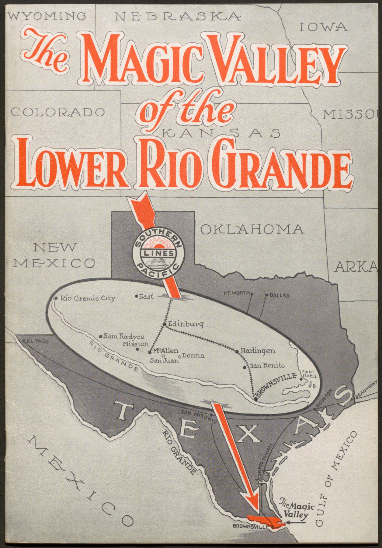
The Magic Valley of the Lower Rio Grande
-
Map/Doc
96733
-
Collection
Cobb Digital Map Collection
-
Object Dates
[1926] (Creation Date)
-
People and Organizations
Agricultural Department, Southern Pacific Lines (Publisher)
-
Subjects
Railroads Bound Volume
-
Medium
pdf
-
Comments
Courtesy of John & Diana Cobb.
Part of: Cobb Digital Map Collection
Map showing the route of the Corpus Christi, San Diego & Rio Grande Railroad, and its connections

Print $20.00
- Digital $50.00
Map showing the route of the Corpus Christi, San Diego & Rio Grande Railroad, and its connections
1880
Size 11.9 x 9.1 inches
Map/Doc 96765
The Texarkana Gateway to Texas and the Southwest issued jointly by the Iron Mountain Route, the Cotton Belt Route, the Texas & Pacific Railway, and the International & Great Northern Railroad

The Texarkana Gateway to Texas and the Southwest issued jointly by the Iron Mountain Route, the Cotton Belt Route, the Texas & Pacific Railway, and the International & Great Northern Railroad
1896
Size 6.6 x 9.4 inches
Map/Doc 96585
San Benito, Texas on the Frisco in the Lower Rio Grande Valley

San Benito, Texas on the Frisco in the Lower Rio Grande Valley
1911
Map/Doc 96727
"Iron Mountain Route" to all parts of Texas - I. & G. N., T. & P., Iron Mountain - "The Way to Texas"

Print $20.00
- Digital $50.00
"Iron Mountain Route" to all parts of Texas - I. & G. N., T. & P., Iron Mountain - "The Way to Texas"
1909
Size 21.8 x 24.0 inches
Map/Doc 95793
Map of the State of Texas

Print $20.00
- Digital $50.00
Map of the State of Texas
1876
Size 13.0 x 16.3 inches
Map/Doc 95891
Texas and Northern Mexico

Print $20.00
- Digital $50.00
Texas and Northern Mexico
1925
Size 21.0 x 28.3 inches
Map/Doc 95900
Geological Map of the route explored by Capt. Jno. Pope, Corps of Topl. Engrs. near the 32nd Parallel of North Latitude from the Red River to the Rio Grande

Print $20.00
- Digital $50.00
Geological Map of the route explored by Capt. Jno. Pope, Corps of Topl. Engrs. near the 32nd Parallel of North Latitude from the Red River to the Rio Grande
1854
Size 11.1 x 24.8 inches
Map/Doc 95751

Texas with population and location of principal towns and cities according to latest reliable statistics

Print $20.00
- Digital $50.00
Texas with population and location of principal towns and cities according to latest reliable statistics
1912
Size 19.0 x 21.2 inches
Map/Doc 95877
Corpus Christi, Where Texas Meets the Sea

Corpus Christi, Where Texas Meets the Sea
1928
Size 9.7 x 6.9 inches
Map/Doc 97065


You may also like
Red River County Texas

Print $20.00
- Digital $50.00
Red River County Texas
1879
Size 23.7 x 20.1 inches
Map/Doc 3978
Wharton County

Print $40.00
- Digital $50.00
Wharton County
1894
Size 55.7 x 28.0 inches
Map/Doc 87353
Smith County Rolled Sketch 6D2

Print $2.00
- Digital $50.00
Smith County Rolled Sketch 6D2
Size 11.3 x 8.9 inches
Map/Doc 76014
Upton County Rolled Sketch 59A

Print $20.00
- Digital $50.00
Upton County Rolled Sketch 59A
Size 35.4 x 45.6 inches
Map/Doc 76422
Calhoun County

Print $20.00
- Digital $50.00
Calhoun County
1882
Size 22.7 x 18.7 inches
Map/Doc 3359
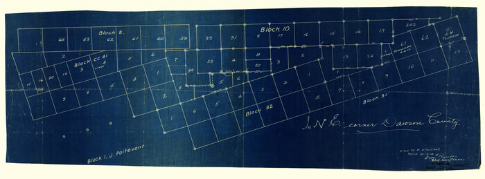
Dawson County Rolled Sketch 7
Print $20.00
- Digital $50.00
Dawson County Rolled Sketch 7
Size 14.1 x 38.1 inches
Map/Doc 5693
Reeves County Rolled Sketch 23

Print $20.00
- Digital $50.00
Reeves County Rolled Sketch 23
1982
Size 19.6 x 25.5 inches
Map/Doc 7491
Menard County Working Sketch 29

Print $6.00
- Digital $50.00
Menard County Working Sketch 29
1967
Size 25.8 x 32.0 inches
Map/Doc 70976
Flight Mission No. DAG-23K, Frame 164, Matagorda County

Print $20.00
- Digital $50.00
Flight Mission No. DAG-23K, Frame 164, Matagorda County
1953
Size 18.6 x 22.3 inches
Map/Doc 86502
Burnet County Boundary File 4

Print $30.00
- Digital $50.00
Burnet County Boundary File 4
Size 8.8 x 8.1 inches
Map/Doc 50872
Map of Perico, Dallam County, Texas

Print $20.00
- Digital $50.00
Map of Perico, Dallam County, Texas
Size 20.1 x 16.7 inches
Map/Doc 92128
Nueces County

Print $20.00
- Digital $50.00
Nueces County
1913
Size 25.9 x 34.9 inches
Map/Doc 73252