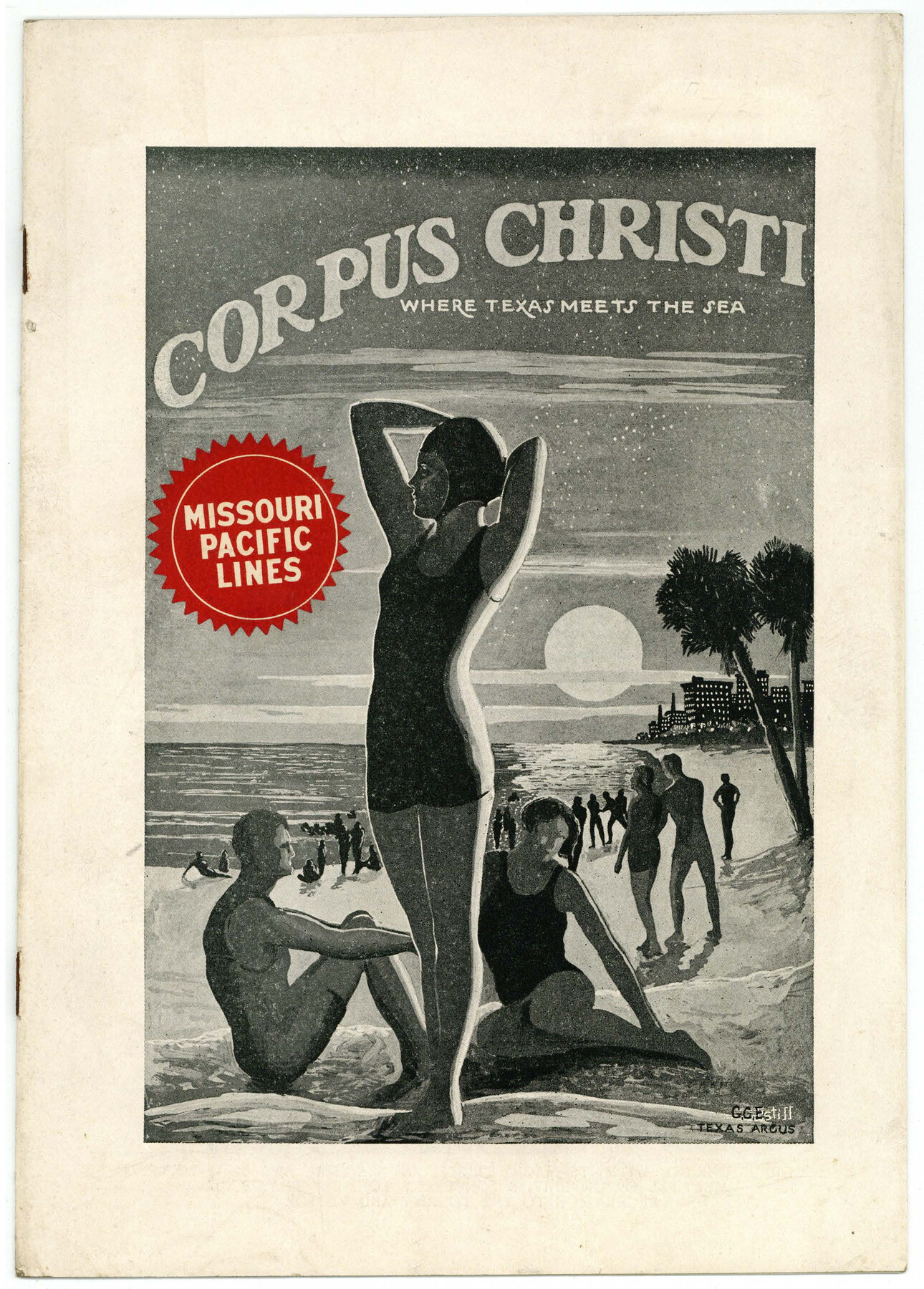
Corpus Christi, Where Texas Meets the Sea
-
Map/Doc
97065
-
Collection
Cobb Digital Map Collection
-
Object Dates
1928 (Creation Date)
-
People and Organizations
Missouri Pacific Lines (Publisher)
-
Subjects
City
-
Height x Width
9.7 x 6.9 inches
24.6 x 17.5 cm
-
Medium
booklet
-
Comments
Courtesy of John & Diana Cobb.
Part of: Cobb Digital Map Collection
Southern Homes in Southern Texas, The Celebrated Coast Country

Southern Homes in Southern Texas, The Celebrated Coast Country
1899
Size 6.2 x 3.7 inches
Map/Doc 97050
The "Magic Valley" of the Lower Rio Grande - the Land of Golden Fruit

The "Magic Valley" of the Lower Rio Grande - the Land of Golden Fruit
1930
Map/Doc 96745
Revised map of the State of Texas

Print $20.00
- Digital $50.00
Revised map of the State of Texas
1876
Size 19.6 x 19.7 inches
Map/Doc 95755
The Sunshine Special - Quickest of 'em all - Hosuton to St. Louis leaves Houston 12:45 p.m. San Antonio 9 a.m.

Print $20.00
- Digital $50.00
The Sunshine Special - Quickest of 'em all - Hosuton to St. Louis leaves Houston 12:45 p.m. San Antonio 9 a.m.
1925
Size 9.0 x 7.7 inches
Map/Doc 95780

The Wonderful Lower Rio Grande Valley

Print $20.00
- Digital $50.00
The Wonderful Lower Rio Grande Valley
1909
Size 21.6 x 22.9 inches
Map/Doc 95798

The Beautiful Valley of the Lower Rio Grande

The Beautiful Valley of the Lower Rio Grande
1925
Map/Doc 96735
Comment on Illustrations [SMS Ranch Booklet]
![96594, Comment on Illustrations [SMS Ranch Booklet], Cobb Digital Map Collection](https://historictexasmaps.com/wmedia_w700/pdf_converted_jpg/qi_pdf_thumbnail_40597.jpg)
Comment on Illustrations [SMS Ranch Booklet]
1916
Size 6.1 x 9.2 inches
Map/Doc 96594

[The Frisco Line - St. Louis & San Francisco Railway through the Great West and South West]
![95794, [The Frisco Line - St. Louis & San Francisco Railway through the Great West and South West], Cobb Digital Map Collection - 1](https://historictexasmaps.com/wmedia_w700/maps/95794.tif.jpg)
Print $20.00
- Digital $50.00
[The Frisco Line - St. Louis & San Francisco Railway through the Great West and South West]
1893
Size 16.8 x 40.2 inches
Map/Doc 95794
Texas with population and location of principal towns and cities according to latest reliable statistics

Print $20.00
- Digital $50.00
Texas with population and location of principal towns and cities according to latest reliable statistics
1912
Size 19.0 x 21.2 inches
Map/Doc 95877
You may also like
[William Steele Survey near Copano Bay]
![60285, [William Steele Survey near Copano Bay], General Map Collection](https://historictexasmaps.com/wmedia_w700/maps/60285-1.tif.jpg)
Print $3.00
- Digital $50.00
[William Steele Survey near Copano Bay]
1927
Size 14.9 x 9.8 inches
Map/Doc 60285
[Capitol Leagues 661-729]
![92979, [Capitol Leagues 661-729], Twichell Survey Records](https://historictexasmaps.com/wmedia_w700/maps/92979-1.tif.jpg)
Print $20.00
- Digital $50.00
[Capitol Leagues 661-729]
Size 24.2 x 24.9 inches
Map/Doc 92979
Calhoun County Rolled Sketch 30

Print $20.00
- Digital $50.00
Calhoun County Rolled Sketch 30
1974
Size 18.6 x 27.8 inches
Map/Doc 5376
Current Miscellaneous File 120

Print $14.00
- Digital $50.00
Current Miscellaneous File 120
Size 8.5 x 11.0 inches
Map/Doc 88754
[Blocks M-21, Z, and E. L. & RR. Block L]
![91151, [Blocks M-21, Z, and E. L. & RR. Block L], Twichell Survey Records](https://historictexasmaps.com/wmedia_w700/maps/91151-1.tif.jpg)
Print $20.00
- Digital $50.00
[Blocks M-21, Z, and E. L. & RR. Block L]
Size 14.5 x 17.9 inches
Map/Doc 91151
Dawson County Sketch File A

Print $28.00
- Digital $50.00
Dawson County Sketch File A
1903
Size 11.4 x 8.8 inches
Map/Doc 20461
Collingsworth County Sketch File 11

Print $32.00
- Digital $50.00
Collingsworth County Sketch File 11
1991
Size 11.2 x 8.6 inches
Map/Doc 18893
Freestone County Working Sketch 30

Print $20.00
- Digital $50.00
Freestone County Working Sketch 30
Size 29.5 x 37.2 inches
Map/Doc 69272
[Galveston, Harrisburg & San Antonio through El Paso County]
![64011, [Galveston, Harrisburg & San Antonio through El Paso County], General Map Collection](https://historictexasmaps.com/wmedia_w700/maps/64011.tif.jpg)
Print $20.00
- Digital $50.00
[Galveston, Harrisburg & San Antonio through El Paso County]
1906
Size 13.3 x 33.8 inches
Map/Doc 64011
Ft. W. & R. G. Ry. Right of Way Map, Chapin to Bluffdale, Hood County, Texas

Print $40.00
- Digital $50.00
Ft. W. & R. G. Ry. Right of Way Map, Chapin to Bluffdale, Hood County, Texas
1918
Size 37.3 x 120.2 inches
Map/Doc 64642
Flight Mission No. DCL-7C, Frame 51, Kenedy County

Print $20.00
- Digital $50.00
Flight Mission No. DCL-7C, Frame 51, Kenedy County
1943
Size 16.6 x 16.4 inches
Map/Doc 86039
Houston County Working Sketch 17

Print $40.00
- Digital $50.00
Houston County Working Sketch 17
1968
Size 43.4 x 50.3 inches
Map/Doc 66247