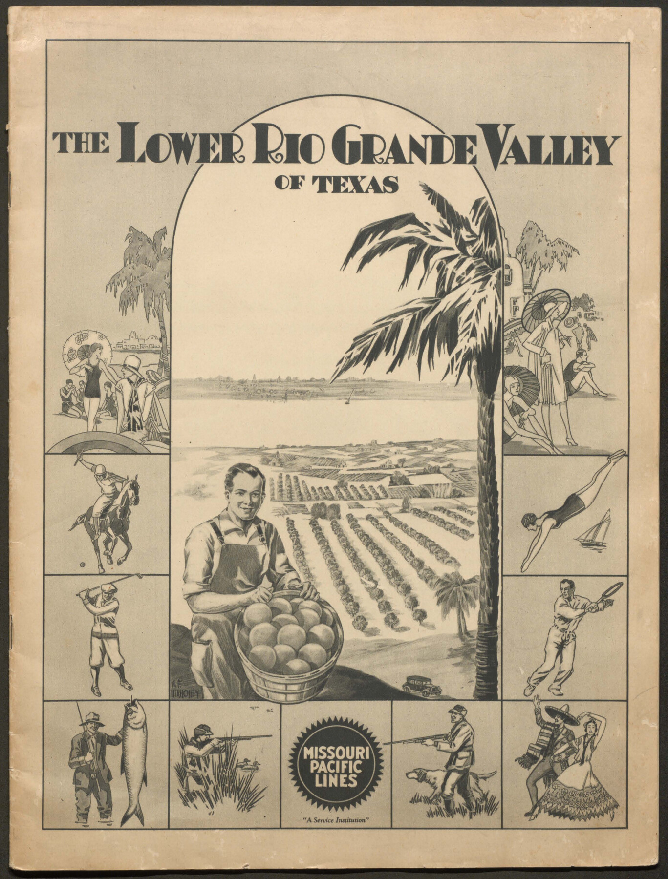
The Lower Rio Grande Valley of Texas
-
Map/Doc
96743
-
Collection
Cobb Digital Map Collection
-
Object Dates
1929 (Creation Date)
-
People and Organizations
Missouri Pacific Lines (Publisher)
-
Subjects
Railroads Bound Volume
-
Medium
pdf
-
Comments
Courtesy of John & Diana Cobb.
Part of: Cobb Digital Map Collection
San Antonio - Places of Interest and how to get there

San Antonio - Places of Interest and how to get there
1920
Map/Doc 96785
![[San Benito Promotional Booklet]](https://historictexasmaps.com/wmedia_w700/pdf_converted_jpg/qi_pdf_thumbnail_64211.jpg)
Sectional map of Texas traversed by the Missouri, Kansas & Texas Railway, showing the crops adapted to each section, with the elevation and annual rainfall

Print $20.00
- Digital $50.00
Sectional map of Texas traversed by the Missouri, Kansas & Texas Railway, showing the crops adapted to each section, with the elevation and annual rainfall
Size 21.9 x 22.8 inches
Map/Doc 95818
Mileage Map of the Best Roads of Texas showing paved roads, road distances

Print $20.00
- Digital $50.00
Mileage Map of the Best Roads of Texas showing paved roads, road distances
1900
Size 21.7 x 28.7 inches
Map/Doc 95894
The Magic Valley of the Lower Rio Grande

The Magic Valley of the Lower Rio Grande
1926
Map/Doc 96733
Map of Texas with population and location of principal towns and cities according to latest reliable statistics

Print $20.00
- Digital $50.00
Map of Texas with population and location of principal towns and cities according to latest reliable statistics
1909
Size 18.3 x 20.2 inches
Map/Doc 95874
Map of Texas with population and location of principal towns and cities according to latest reliable statistics

Print $20.00
- Digital $50.00
Map of Texas with population and location of principal towns and cities according to latest reliable statistics
1911
Size 19.4 x 21.5 inches
Map/Doc 95875
County and Railroad Map of Texas

Print $20.00
- Digital $50.00
County and Railroad Map of Texas
1871
Size 16.7 x 15.5 inches
Map/Doc 95752

Geographically Correct County Map showing the lines of the Cotton Belt Route and connections

Print $20.00
- Digital $50.00
Geographically Correct County Map showing the lines of the Cotton Belt Route and connections
1898
Size 35.7 x 30.8 inches
Map/Doc 95839
Map of Texas with population and location of principal towns and cities, according to latest reliable statistics

Print $20.00
- Digital $50.00
Map of Texas with population and location of principal towns and cities, according to latest reliable statistics
1906
Size 18.9 x 22.4 inches
Map/Doc 95869
Appletons' Railway Map of the Southern States, to accompany Appletons' Hand-book of American Travel, Southern Tour

Print $20.00
- Digital $50.00
Appletons' Railway Map of the Southern States, to accompany Appletons' Hand-book of American Travel, Southern Tour
1887
Size 15.6 x 24.3 inches
Map/Doc 95904
You may also like
Sheet 2 copied from Peck Book 6 [Strip Map showing T. & P. connecting lines]
![93172, Sheet 2 copied from Peck Book 6 [Strip Map showing T. & P. connecting lines], Twichell Survey Records](https://historictexasmaps.com/wmedia_w700/maps/93172-1.tif.jpg)
Print $40.00
- Digital $50.00
Sheet 2 copied from Peck Book 6 [Strip Map showing T. & P. connecting lines]
1909
Size 6.5 x 53.9 inches
Map/Doc 93172
General Highway Map, Gray County, Texas

Print $20.00
General Highway Map, Gray County, Texas
1940
Size 25.0 x 18.4 inches
Map/Doc 79103
Texas, Matagorda Bay, Matagorda Peninsula, Cany Creek to Tiger Island Channel

Print $40.00
- Digital $50.00
Texas, Matagorda Bay, Matagorda Peninsula, Cany Creek to Tiger Island Channel
1933
Size 31.4 x 48.6 inches
Map/Doc 69991
Stephens County Working Sketch 10

Print $40.00
- Digital $50.00
Stephens County Working Sketch 10
1921
Size 36.1 x 64.1 inches
Map/Doc 63953
Real County Rolled Sketch 17

Print $20.00
- Digital $50.00
Real County Rolled Sketch 17
1906
Size 25.1 x 28.8 inches
Map/Doc 7459
Jeff Davis County Working Sketch 1

Print $20.00
- Digital $50.00
Jeff Davis County Working Sketch 1
Size 26.6 x 19.6 inches
Map/Doc 66496
North Sulphur River, Ben Franklin Sheet

Print $20.00
- Digital $50.00
North Sulphur River, Ben Franklin Sheet
1928
Size 14.2 x 30.0 inches
Map/Doc 78324
Section M, Tech Memorial Park, Inc.

Print $3.00
- Digital $50.00
Section M, Tech Memorial Park, Inc.
1950
Size 11.2 x 17.3 inches
Map/Doc 92784
W.D. Twichell's and R.S. Hunnicutt's Resurvey in Oldham County, Texas May to October 1915

Print $20.00
- Digital $50.00
W.D. Twichell's and R.S. Hunnicutt's Resurvey in Oldham County, Texas May to October 1915
1915
Size 47.6 x 38.3 inches
Map/Doc 89970
Upton County Sketch File 37

Print $6.00
- Digital $50.00
Upton County Sketch File 37
1953
Size 11.3 x 8.8 inches
Map/Doc 38900
King County Survey

Print $20.00
- Digital $50.00
King County Survey
1916
Size 25.6 x 30.5 inches
Map/Doc 91021
Burnet Empresario Colony. December 22, 1826

Print $20.00
Burnet Empresario Colony. December 22, 1826
2020
Size 12.9 x 21.6 inches
Map/Doc 95985