Montgomery County Texas Historical Map
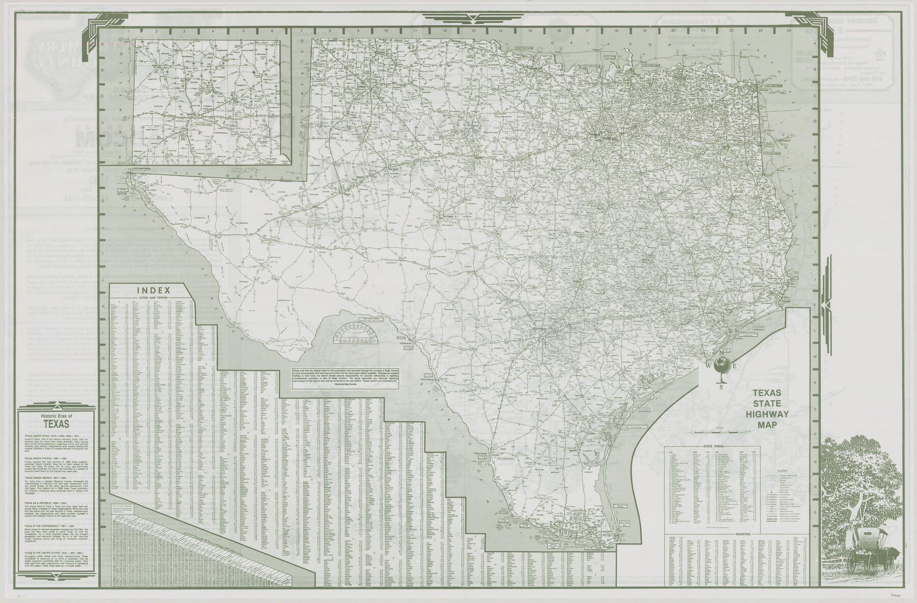
[Verso - Texas State Highway Map]
-
Map/Doc
94404
-
Collection
General Map Collection
-
Object Dates
2001 (Edition Date)
-
People and Organizations
Montgomery County Genealogical & Historical Soc. (Publisher)
-
Subjects
State of Texas
-
Height x Width
23.2 x 35.3 inches
58.9 x 89.7 cm
-
Medium
paper, etching/engraving/lithograph
-
Comments
For map of Montgomery County on recto, see 94403. For research only.
Related maps
Montgomery County Texas Historical Map

Montgomery County Texas Historical Map
Size 23.2 x 35.5 inches
Map/Doc 94403
Part of: General Map Collection
Duval County Sketch File 8d

Print $4.00
- Digital $50.00
Duval County Sketch File 8d
1869
Size 10.8 x 8.9 inches
Map/Doc 21302
Val Verde County Working Sketch 25

Print $20.00
- Digital $50.00
Val Verde County Working Sketch 25
1934
Size 24.2 x 18.2 inches
Map/Doc 72160
Hall County Boundary File 1c

Print $40.00
- Digital $50.00
Hall County Boundary File 1c
Size 10.0 x 34.6 inches
Map/Doc 54175
Rusk County Rolled Sketch 9A

Print $20.00
- Digital $50.00
Rusk County Rolled Sketch 9A
1971
Size 30.4 x 19.1 inches
Map/Doc 7547
Presidio County Sketch File 50

Print $8.00
- Digital $50.00
Presidio County Sketch File 50
1919
Size 13.3 x 8.8 inches
Map/Doc 34586
Aransas County NRC Article 33.136 Sketch 1

Print $55.00
- Digital $50.00
Aransas County NRC Article 33.136 Sketch 1
2000
Size 24.8 x 35.6 inches
Map/Doc 61630
Map of Clay Co.

Print $40.00
- Digital $50.00
Map of Clay Co.
1896
Size 53.8 x 34.6 inches
Map/Doc 4910
Austin County Boundary File 4

Print $10.00
- Digital $50.00
Austin County Boundary File 4
Size 14.1 x 8.6 inches
Map/Doc 50244
Flight Mission No. DIX-10P, Frame 149, Aransas County

Print $20.00
- Digital $50.00
Flight Mission No. DIX-10P, Frame 149, Aransas County
1956
Size 18.6 x 22.3 inches
Map/Doc 83951
Map of Baffin & Alazan Bays, Cayo Infiernillo in Kenedy & Kleberg Counties Showing Subdivision for Mineral Development

Print $20.00
- Digital $50.00
Map of Baffin & Alazan Bays, Cayo Infiernillo in Kenedy & Kleberg Counties Showing Subdivision for Mineral Development
1937
Size 42.4 x 40.4 inches
Map/Doc 3016
Angelina County Sketch File 15b

Print $8.00
- Digital $50.00
Angelina County Sketch File 15b
1863
Size 12.7 x 7.9 inches
Map/Doc 12968
Edwards County Working Sketch 2

Print $20.00
- Digital $50.00
Edwards County Working Sketch 2
Size 13.6 x 19.0 inches
Map/Doc 68878
You may also like
Culberson County Working Sketch Graphic Index, Sheet A (Sketches 1 to 40)

Print $40.00
- Digital $50.00
Culberson County Working Sketch Graphic Index, Sheet A (Sketches 1 to 40)
1943
Size 51.6 x 32.7 inches
Map/Doc 76514
Clay County Boundary File 13

Print $48.00
- Digital $50.00
Clay County Boundary File 13
Size 10.6 x 9.1 inches
Map/Doc 51410
Flight Mission No. DQN-2K, Frame 135, Calhoun County

Print $20.00
- Digital $50.00
Flight Mission No. DQN-2K, Frame 135, Calhoun County
1953
Size 19.0 x 22.5 inches
Map/Doc 84304
Upton County Working Sketch 13

Print $20.00
- Digital $50.00
Upton County Working Sketch 13
1937
Size 22.6 x 43.4 inches
Map/Doc 69509
General Highway Map. Detail of Cities and Towns in McLennan County, Texas

Print $20.00
General Highway Map. Detail of Cities and Towns in McLennan County, Texas
1961
Size 18.2 x 24.6 inches
Map/Doc 79591
Pecos County Rolled Sketch 130

Print $20.00
- Digital $50.00
Pecos County Rolled Sketch 130
1950
Size 20.1 x 27.7 inches
Map/Doc 7268
Map of The Surveyed Part of Peters Colony Texas

Print $40.00
- Digital $50.00
Map of The Surveyed Part of Peters Colony Texas
1852
Size 54.6 x 34.6 inches
Map/Doc 4654
Jones County Sketch File 4

Print $22.00
- Digital $50.00
Jones County Sketch File 4
1859
Size 7.5 x 12.7 inches
Map/Doc 28490
Shamrock, Amended Plat on Section 44, Block 17, Wheeler County, Texas

Print $20.00
- Digital $50.00
Shamrock, Amended Plat on Section 44, Block 17, Wheeler County, Texas
Size 30.0 x 35.5 inches
Map/Doc 92144
Palo Pinto County Rolled Sketch 14A

Print $20.00
- Digital $50.00
Palo Pinto County Rolled Sketch 14A
1993
Size 21.8 x 28.2 inches
Map/Doc 7195
Newton County Working Sketch 2

Print $20.00
- Digital $50.00
Newton County Working Sketch 2
1905
Size 14.5 x 19.3 inches
Map/Doc 71248
[G. & M. Block 5]
![91796, [G. & M. Block 5], Twichell Survey Records](https://historictexasmaps.com/wmedia_w700/maps/91796-1.tif.jpg)
Print $20.00
- Digital $50.00
[G. & M. Block 5]
Size 22.6 x 18.9 inches
Map/Doc 91796