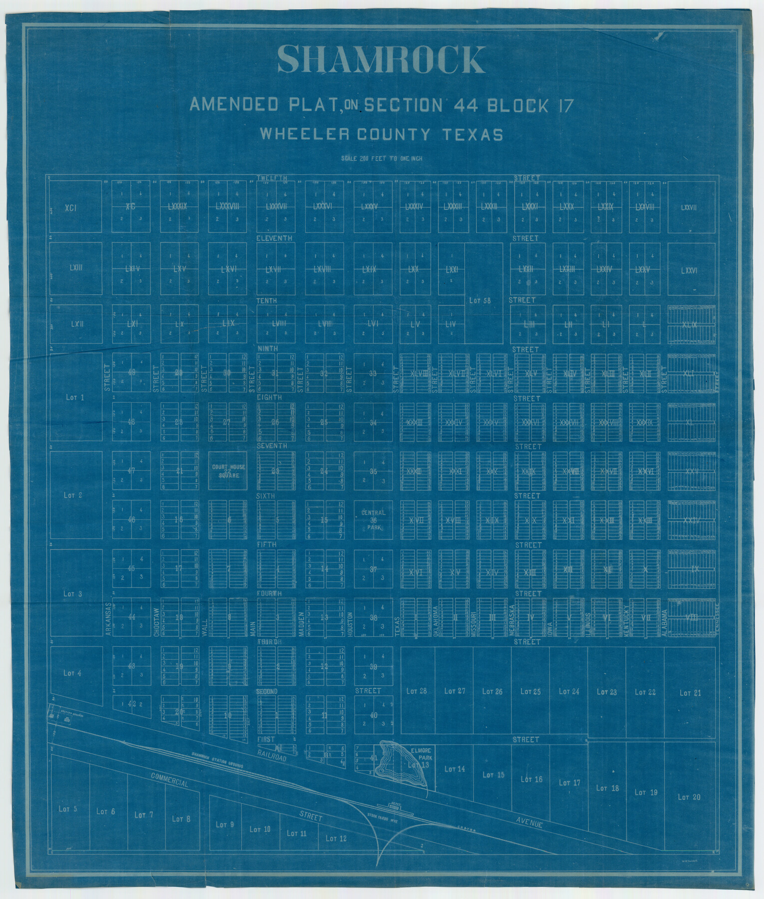
Shamrock, Amended Plat on Section 44, Block 17, Wheeler County, Texas
-
Map/Doc
92144
-
Collection
Twichell Survey Records
-
Counties
Wheeler
-
Height x Width
30.0 x 35.5 inches
76.2 x 90.2 cm
Part of: Twichell Survey Records
General Highway Map Llano County Texas

Print $20.00
- Digital $50.00
General Highway Map Llano County Texas
1953
Size 17.1 x 12.5 inches
Map/Doc 92883
[W. H. Freeman, W. A. Eads, W. M. McKnight, Surveys 18, 19, and 28]
![91084, [W. H. Freeman, W. A. Eads, W. M. McKnight, Surveys 18, 19, and 28], Twichell Survey Records](https://historictexasmaps.com/wmedia_w700/maps/91084-1.tif.jpg)
Print $20.00
- Digital $50.00
[W. H. Freeman, W. A. Eads, W. M. McKnight, Surveys 18, 19, and 28]
Size 27.3 x 18.6 inches
Map/Doc 91084
Ownership Map Lamb County

Print $20.00
- Digital $50.00
Ownership Map Lamb County
1934
Size 37.6 x 45.0 inches
Map/Doc 89847
[Ezekiel Ables and surrounding surveys]
![90966, [Ezekiel Ables and surrounding surveys], Twichell Survey Records](https://historictexasmaps.com/wmedia_w700/maps/90966-1.tif.jpg)
Print $20.00
- Digital $50.00
[Ezekiel Ables and surrounding surveys]
Size 12.6 x 18.0 inches
Map/Doc 90966
[Scripture Addition to the City of Denton]
![90586, [Scripture Addition to the City of Denton], Twichell Survey Records](https://historictexasmaps.com/wmedia_w700/maps/90586-1.tif.jpg)
Print $20.00
- Digital $50.00
[Scripture Addition to the City of Denton]
Size 35.4 x 31.4 inches
Map/Doc 90586
Hutchinson County, 1922

Print $20.00
- Digital $50.00
Hutchinson County, 1922
1922
Size 36.4 x 43.7 inches
Map/Doc 89700
Sketch of H. & T. C. RR. Co. Lands on the Canadian River in Oldham and Wheeler Districts

Print $40.00
- Digital $50.00
Sketch of H. & T. C. RR. Co. Lands on the Canadian River in Oldham and Wheeler Districts
1884
Size 88.9 x 23.8 inches
Map/Doc 93193
A. H. Baer Estate

Print $20.00
- Digital $50.00
A. H. Baer Estate
Size 18.4 x 15.6 inches
Map/Doc 92748
[Blocks C31, C32, C36-C39]
![91867, [Blocks C31, C32, C36-C39], Twichell Survey Records](https://historictexasmaps.com/wmedia_w700/maps/91867-1.tif.jpg)
Print $20.00
- Digital $50.00
[Blocks C31, C32, C36-C39]
Size 15.6 x 16.0 inches
Map/Doc 91867
Myrick Farm Lubbock & Hockley Counties

Print $20.00
- Digital $50.00
Myrick Farm Lubbock & Hockley Counties
Size 21.1 x 18.8 inches
Map/Doc 92831
[Portions of Blocks 3T, G. & M. Block 3, Block 47, and Block J]
![91522, [Portions of Blocks 3T, G. & M. Block 3, Block 47, and Block J], Twichell Survey Records](https://historictexasmaps.com/wmedia_w700/maps/91522-1.tif.jpg)
Print $20.00
- Digital $50.00
[Portions of Blocks 3T, G. & M. Block 3, Block 47, and Block J]
Size 16.0 x 23.1 inches
Map/Doc 91522
![90607, [Block K8], Twichell Survey Records](https://historictexasmaps.com/wmedia_w700/maps/90607-1.tif.jpg)
You may also like
Edwards County Working Sketch 106

Print $20.00
- Digital $50.00
Edwards County Working Sketch 106
1972
Size 32.3 x 26.5 inches
Map/Doc 68982
Map of Public Roads in Terry County, Texas

Print $20.00
- Digital $50.00
Map of Public Roads in Terry County, Texas
Size 34.0 x 36.1 inches
Map/Doc 91941
Tarrant County Rolled Sketch 3

Print $20.00
- Digital $50.00
Tarrant County Rolled Sketch 3
Size 23.3 x 28.6 inches
Map/Doc 7910
Marion County Sketch File 1b

Print $8.00
- Digital $50.00
Marion County Sketch File 1b
Size 12.4 x 7.7 inches
Map/Doc 30560
Real County Working Sketch 12

Print $20.00
- Digital $50.00
Real County Working Sketch 12
1931
Size 19.1 x 18.6 inches
Map/Doc 71904
Gregg County Rolled Sketch 7A

Print $20.00
- Digital $50.00
Gregg County Rolled Sketch 7A
1932
Size 22.6 x 39.2 inches
Map/Doc 6033
Reeves County Sketch File 2

Print $26.00
- Digital $50.00
Reeves County Sketch File 2
Size 31.2 x 19.6 inches
Map/Doc 12239
Armstrong County Rolled Sketch B1

Print $20.00
- Digital $50.00
Armstrong County Rolled Sketch B1
1903
Size 25.8 x 37.8 inches
Map/Doc 5085
Louisiana and Texas for the Winter Tourist

Louisiana and Texas for the Winter Tourist
1911
Map/Doc 96716
Austin County Boundary File 5

Print $6.00
- Digital $50.00
Austin County Boundary File 5
Size 14.3 x 8.5 inches
Map/Doc 50249
San Augustine County Working Sketch 26

Print $40.00
- Digital $50.00
San Augustine County Working Sketch 26
2008
Size 63.9 x 33.5 inches
Map/Doc 88823
Index sheet to accompany map of survey for connecting the inland waters along margin of the Gulf of Mexico from Donaldsonville in Louisiana to the Rio Grande River in Texas

Print $20.00
- Digital $50.00
Index sheet to accompany map of survey for connecting the inland waters along margin of the Gulf of Mexico from Donaldsonville in Louisiana to the Rio Grande River in Texas
1874
Size 18.2 x 27.1 inches
Map/Doc 72695