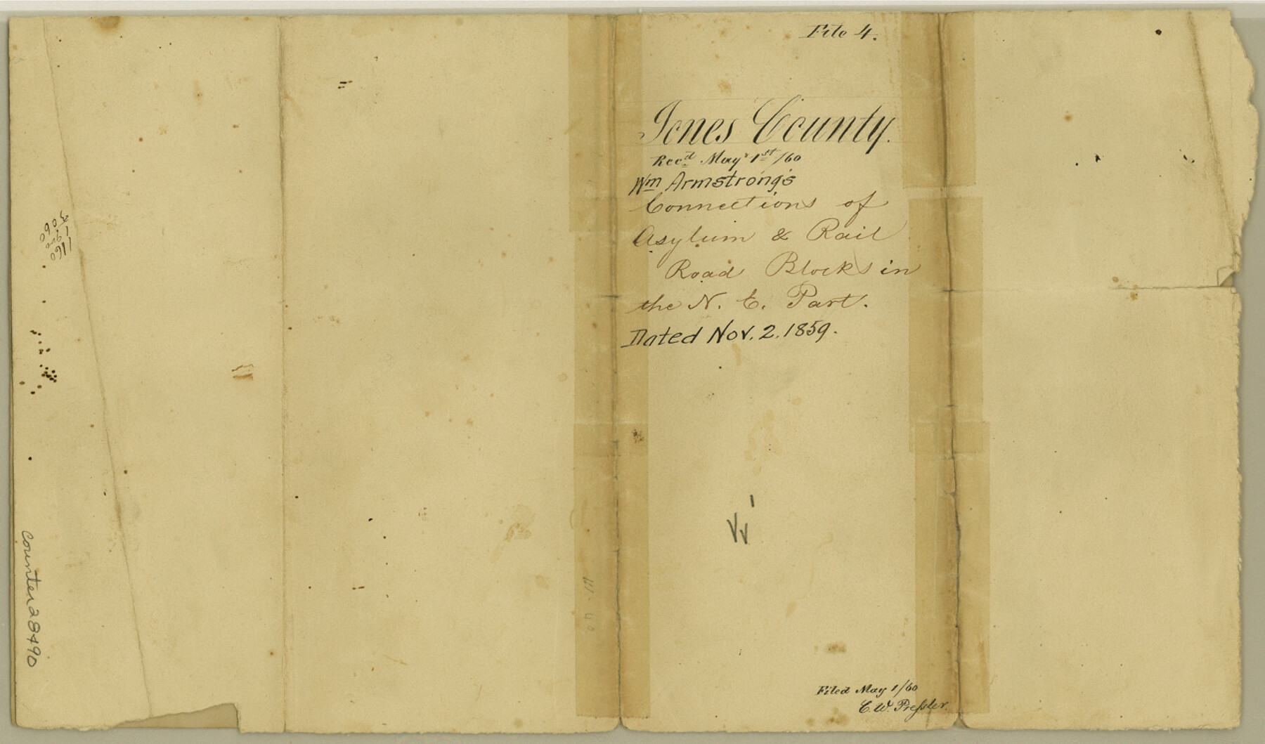
Jones County Sketch File 4
[Connections of Asylum and railroad blocks in northern and eastern part of county]
-
Map/Doc
28490
-
Collection
General Map Collection
-
Object Dates
11/2/1859 (Creation Date)
5/1/1860 (File Date)
-
People and Organizations
William Armstrong (Surveyor/Engineer)
-
Counties
Jones
-
Subjects
Surveying Sketch File
-
Height x Width
7.5 x 12.7 inches
19.1 x 32.3 cm
-
Medium
paper, manuscript
Part of: General Map Collection
Flight Mission No. DAG-24K, Frame 135, Matagorda County

Print $20.00
- Digital $50.00
Flight Mission No. DAG-24K, Frame 135, Matagorda County
1953
Size 18.4 x 22.2 inches
Map/Doc 86553
Armstrong County Sketch File C

Print $46.00
- Digital $50.00
Armstrong County Sketch File C
1904
Size 16.4 x 15.7 inches
Map/Doc 10856
Central America Past and Present

Central America Past and Present
1986
Size 20.6 x 31.6 inches
Map/Doc 96839
Live Oak County Sketch File 32

Print $6.00
- Digital $50.00
Live Oak County Sketch File 32
1951
Size 11.1 x 8.6 inches
Map/Doc 30330
Houston County Working Sketch 17

Print $40.00
- Digital $50.00
Houston County Working Sketch 17
1968
Size 43.4 x 50.3 inches
Map/Doc 66247
Floyd County Working Sketch 1

Print $20.00
- Digital $50.00
Floyd County Working Sketch 1
1949
Size 24.5 x 24.1 inches
Map/Doc 69180
Randall County Working Sketch 2

Print $20.00
- Digital $50.00
Randall County Working Sketch 2
1980
Size 28.6 x 31.3 inches
Map/Doc 71839
Archer County Working Sketch 21

Print $20.00
- Digital $50.00
Archer County Working Sketch 21
1976
Size 18.2 x 27.4 inches
Map/Doc 67162

Right of Way and Track Map Texas & New Orleans R.R. Co. operated by the T. & N. O. R.R. Co. Dallas-Sabine Branch

Print $40.00
- Digital $50.00
Right of Way and Track Map Texas & New Orleans R.R. Co. operated by the T. & N. O. R.R. Co. Dallas-Sabine Branch
1918
Size 25.8 x 56.1 inches
Map/Doc 64155
Donley County Sketch File 30

Print $24.00
- Digital $50.00
Donley County Sketch File 30
1906
Size 11.3 x 8.7 inches
Map/Doc 21270
Padre Island National Seashore

Print $4.00
- Digital $50.00
Padre Island National Seashore
Size 16.2 x 22.1 inches
Map/Doc 60534
You may also like
Hall County Boundary File 1

Print $26.00
- Digital $50.00
Hall County Boundary File 1
Size 8.8 x 4.0 inches
Map/Doc 54158
Bailey County Sketch File 4

Print $8.00
- Digital $50.00
Bailey County Sketch File 4
1907
Size 14.2 x 8.7 inches
Map/Doc 13954
Williamson County

Print $40.00
- Digital $50.00
Williamson County
1946
Size 40.1 x 57.7 inches
Map/Doc 63130
Coke County Working Sketch 3

Print $20.00
- Digital $50.00
Coke County Working Sketch 3
1890
Size 22.3 x 29.2 inches
Map/Doc 68040
Harris County NRC Article 33.136 Sketch 13

Print $28.00
- Digital $50.00
Harris County NRC Article 33.136 Sketch 13
2009
Size 36.0 x 24.3 inches
Map/Doc 94641
Donley County Sketch File B11

Print $4.00
- Digital $50.00
Donley County Sketch File B11
1952
Size 11.5 x 9.0 inches
Map/Doc 21274
Howard County Boundary File 4a

Print $60.00
- Digital $50.00
Howard County Boundary File 4a
Size 70.6 x 10.0 inches
Map/Doc 55166
Half-circle Protractor with Arm and Vernier

Half-circle Protractor with Arm and Vernier
Size 0.8 x 15.0 inches
Map/Doc 97309
Maps of Gulf Intracoastal Waterway, Texas - Sabine River to the Rio Grande and connecting waterways including ship channels

Print $20.00
- Digital $50.00
Maps of Gulf Intracoastal Waterway, Texas - Sabine River to the Rio Grande and connecting waterways including ship channels
1966
Size 14.5 x 22.3 inches
Map/Doc 61978
Coleman County Working Sketch 14

Print $20.00
- Digital $50.00
Coleman County Working Sketch 14
1952
Size 27.8 x 21.2 inches
Map/Doc 68080
Hudspeth County Rolled Sketch 43

Print $40.00
- Digital $50.00
Hudspeth County Rolled Sketch 43
1932
Size 155.2 x 14.6 inches
Map/Doc 9216
Gaines County Working Sketch 2

Print $20.00
- Digital $50.00
Gaines County Working Sketch 2
1939
Size 29.4 x 39.9 inches
Map/Doc 69302