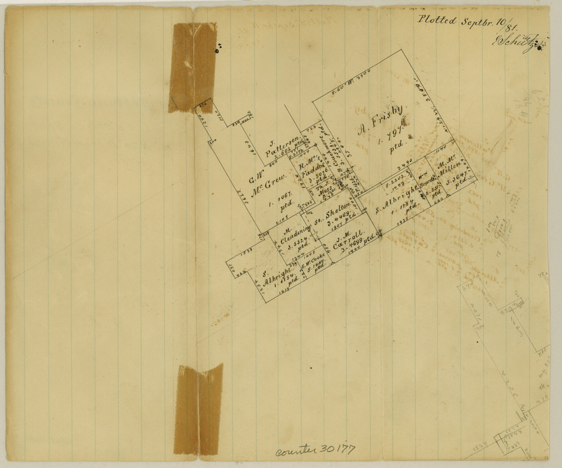
Limestone County Sketch File 11
[Office sketch northwest from Groesbeck]
-
Map/Doc
30177
-
Collection
General Map Collection
-
Object Dates
9/10/1881 (Creation Date)
9/10/1881 (File Date)
9/1881 (Survey Date)
-
People and Organizations
E. Schutze (Draftsman)
-
Counties
Limestone
-
Subjects
Surveying Sketch File
-
Height x Width
7.9 x 9.5 inches
20.1 x 24.1 cm
-
Medium
paper, manuscript
Part of: General Map Collection
Kent County Working Sketch 10

Print $20.00
- Digital $50.00
Kent County Working Sketch 10
Size 34.1 x 43.0 inches
Map/Doc 70017
Current Miscellaneous File 79

Print $6.00
- Digital $50.00
Current Miscellaneous File 79
Size 10.8 x 8.4 inches
Map/Doc 74210
Matagorda County

Print $40.00
- Digital $50.00
Matagorda County
1920
Size 39.7 x 49.1 inches
Map/Doc 77368
Right of Way and Track Map, The Missouri, Kansas and Texas Ry. of Texas operated by the Missouri, Kansas and Texas Ry. of Texas, Henrietta Division

Print $40.00
- Digital $50.00
Right of Way and Track Map, The Missouri, Kansas and Texas Ry. of Texas operated by the Missouri, Kansas and Texas Ry. of Texas, Henrietta Division
1918
Size 25.2 x 56.6 inches
Map/Doc 64067
Donley County Working Sketch 5

Print $40.00
- Digital $50.00
Donley County Working Sketch 5
Size 54.3 x 32.9 inches
Map/Doc 68738
Kent County Rolled Sketch 2

Print $20.00
- Digital $50.00
Kent County Rolled Sketch 2
1950
Size 22.6 x 40.8 inches
Map/Doc 6473
Louisiana and Texas Intracoastal Waterway, Section 7, Galveston Bay to Brazos River and Section 8, Brazos River to Matagorda Bay

Print $20.00
- Digital $50.00
Louisiana and Texas Intracoastal Waterway, Section 7, Galveston Bay to Brazos River and Section 8, Brazos River to Matagorda Bay
1929
Size 30.8 x 43.0 inches
Map/Doc 61842
State of Texas

Print $40.00
- Digital $50.00
State of Texas
1948
Size 44.6 x 56.8 inches
Map/Doc 78634

Irion County Rolled Sketch 24

Print $40.00
- Digital $50.00
Irion County Rolled Sketch 24
Size 49.4 x 37.4 inches
Map/Doc 9257
Reeves County Rolled Sketch N1

Print $20.00
- Digital $50.00
Reeves County Rolled Sketch N1
Size 21.8 x 41.9 inches
Map/Doc 7505
Mason County Rolled Sketch 2

Print $20.00
- Digital $50.00
Mason County Rolled Sketch 2
1952
Size 32.9 x 26.7 inches
Map/Doc 6675
You may also like

Van Zandt County Working Sketch 5

Print $20.00
- Digital $50.00
Van Zandt County Working Sketch 5
1940
Size 37.2 x 25.5 inches
Map/Doc 72254
Map of Jasper District

Print $20.00
- Digital $50.00
Map of Jasper District
1847
Size 32.8 x 29.6 inches
Map/Doc 3713
Montague County Working Sketch 28

Print $20.00
- Digital $50.00
Montague County Working Sketch 28
1963
Size 36.6 x 31.8 inches
Map/Doc 71094
Map of Duval County, Texas

Print $20.00
- Digital $50.00
Map of Duval County, Texas
1880
Size 31.4 x 21.8 inches
Map/Doc 5030
Frio County Sketch File 23

Print $6.00
- Digital $50.00
Frio County Sketch File 23
2013
Size 11.0 x 8.5 inches
Map/Doc 93418
Val Verde County Rolled Sketch 38

Print $20.00
- Digital $50.00
Val Verde County Rolled Sketch 38
Size 30.4 x 19.5 inches
Map/Doc 61781
Haskell County Rolled Sketch 6

Print $20.00
- Digital $50.00
Haskell County Rolled Sketch 6
1940
Size 22.3 x 19.6 inches
Map/Doc 6166
Edwards County Working Sketch 75

Print $20.00
- Digital $50.00
Edwards County Working Sketch 75
1959
Size 20.0 x 25.8 inches
Map/Doc 68951
Baylor County Sketch File 12E

Print $11.00
- Digital $50.00
Baylor County Sketch File 12E
1900
Size 14.3 x 8.8 inches
Map/Doc 14159
Flight Mission No. DQO-3K, Frame 24, Galveston County

Print $20.00
- Digital $50.00
Flight Mission No. DQO-3K, Frame 24, Galveston County
1952
Size 18.7 x 22.4 inches
Map/Doc 85065
Denton County Sketch File 15

Print $8.00
- Digital $50.00
Denton County Sketch File 15
1857
Size 13.1 x 8.2 inches
Map/Doc 20724