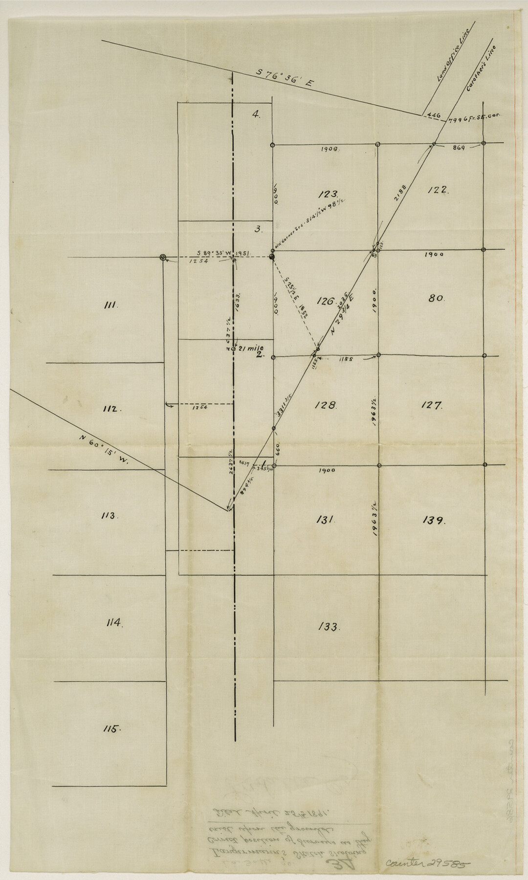
La Salle County Sketch File 34
[Sketch showing correct position of surveys as they exist upon the ground]
-
Map/Doc
29585
-
Collection
General Map Collection
-
Object Dates
1891/4/25 (File Date)
-
People and Organizations
Langermann (Surveyor/Engineer)
-
Counties
La Salle Dimmit
-
Subjects
Surveying Sketch File
-
Height x Width
15.8 x 9.5 inches
40.1 x 24.1 cm
-
Medium
paper, manuscript
Part of: General Map Collection
Haskell County

Print $20.00
- Digital $50.00
Haskell County
1933
Size 44.9 x 37.9 inches
Map/Doc 73175
Travis County Working Sketch 4

Print $20.00
- Digital $50.00
Travis County Working Sketch 4
1906
Size 38.3 x 26.1 inches
Map/Doc 69388

San Luis Pass to East Matagorda Bay

Print $20.00
- Digital $50.00
San Luis Pass to East Matagorda Bay
1960
Size 34.6 x 46.5 inches
Map/Doc 69963
Texas Panhandle East Boundary Line

Print $40.00
- Digital $50.00
Texas Panhandle East Boundary Line
1898
Size 65.3 x 10.0 inches
Map/Doc 1702
Sutton County Rolled Sketch 50

Print $40.00
- Digital $50.00
Sutton County Rolled Sketch 50
1950
Size 55.5 x 44.4 inches
Map/Doc 9975
Dawson County Rolled Sketch 6

Print $20.00
- Digital $50.00
Dawson County Rolled Sketch 6
1913
Size 22.0 x 30.1 inches
Map/Doc 8771
Loving County Working Sketch 23

Print $20.00
- Digital $50.00
Loving County Working Sketch 23
1952
Size 15.1 x 31.5 inches
Map/Doc 70657
Lubbock County Sketch File 9

Print $4.00
- Digital $50.00
Lubbock County Sketch File 9
1907
Size 5.7 x 8.7 inches
Map/Doc 30430
Flight Mission No. BRE-1P, Frame 66, Nueces County

Print $20.00
- Digital $50.00
Flight Mission No. BRE-1P, Frame 66, Nueces County
1956
Size 18.5 x 22.4 inches
Map/Doc 86648
Ashburn's San Antonio City Map

Ashburn's San Antonio City Map
1951
Size 24.5 x 19.5 inches
Map/Doc 97144
Sutton County Rolled Sketch 52

Print $20.00
- Digital $50.00
Sutton County Rolled Sketch 52
1950
Size 20.8 x 35.2 inches
Map/Doc 7892
You may also like
City of Houston and Environs

Print $20.00
City of Houston and Environs
1895
Size 30.4 x 33.6 inches
Map/Doc 93486
Parker County Sketch File 38

Print $20.00
- Digital $50.00
Parker County Sketch File 38
Size 21.7 x 13.3 inches
Map/Doc 12149
Montgomery County Working Sketch 11

Print $20.00
- Digital $50.00
Montgomery County Working Sketch 11
1933
Size 25.2 x 17.7 inches
Map/Doc 71118
Coleman County

Print $40.00
- Digital $50.00
Coleman County
1945
Size 54.7 x 37.1 inches
Map/Doc 73109
Carson County Boundary File 7

Print $64.00
- Digital $50.00
Carson County Boundary File 7
Size 9.3 x 6.9 inches
Map/Doc 51157
Midland County Working Sketch 2

Print $20.00
- Digital $50.00
Midland County Working Sketch 2
Size 40.4 x 25.2 inches
Map/Doc 70982
Kendall County Working Sketch 8

Print $20.00
- Digital $50.00
Kendall County Working Sketch 8
1951
Size 24.5 x 25.0 inches
Map/Doc 66680

Nolan County Working Sketch 9

Print $20.00
- Digital $50.00
Nolan County Working Sketch 9
1964
Size 25.0 x 36.8 inches
Map/Doc 71300
Comal County Rolled Sketch 6

Print $4.00
- Digital $50.00
Comal County Rolled Sketch 6
1988
Size 25.0 x 19.1 inches
Map/Doc 5541
Roberts County Boundary File 2e

Print $20.00
- Digital $50.00
Roberts County Boundary File 2e
Size 28.3 x 8.8 inches
Map/Doc 58367
Bexar County Sketch File 42

Print $4.00
- Digital $50.00
Bexar County Sketch File 42
1882
Size 10.6 x 8.7 inches
Map/Doc 14518